The best walks and hikes around Châtenois
4.7
(13)
37
hikers
9
hikes
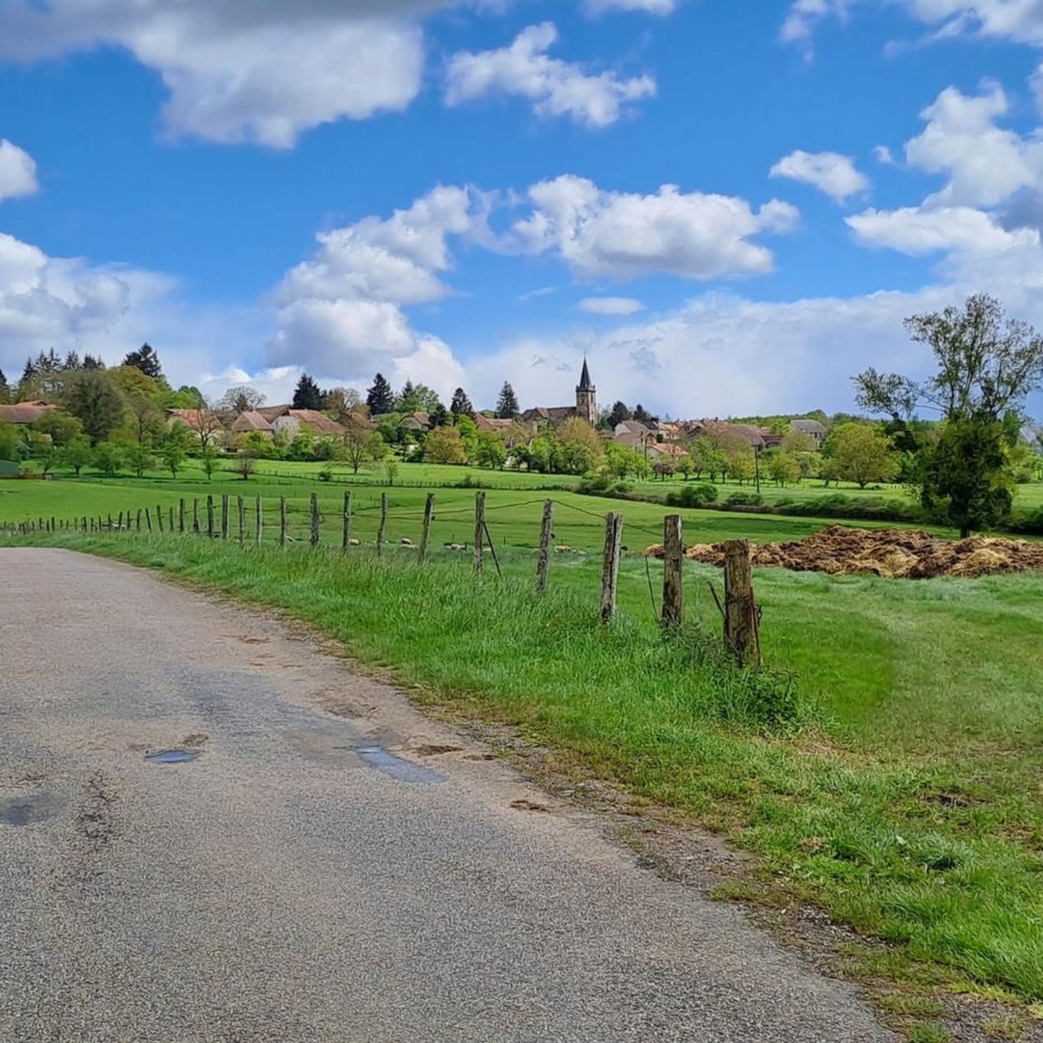
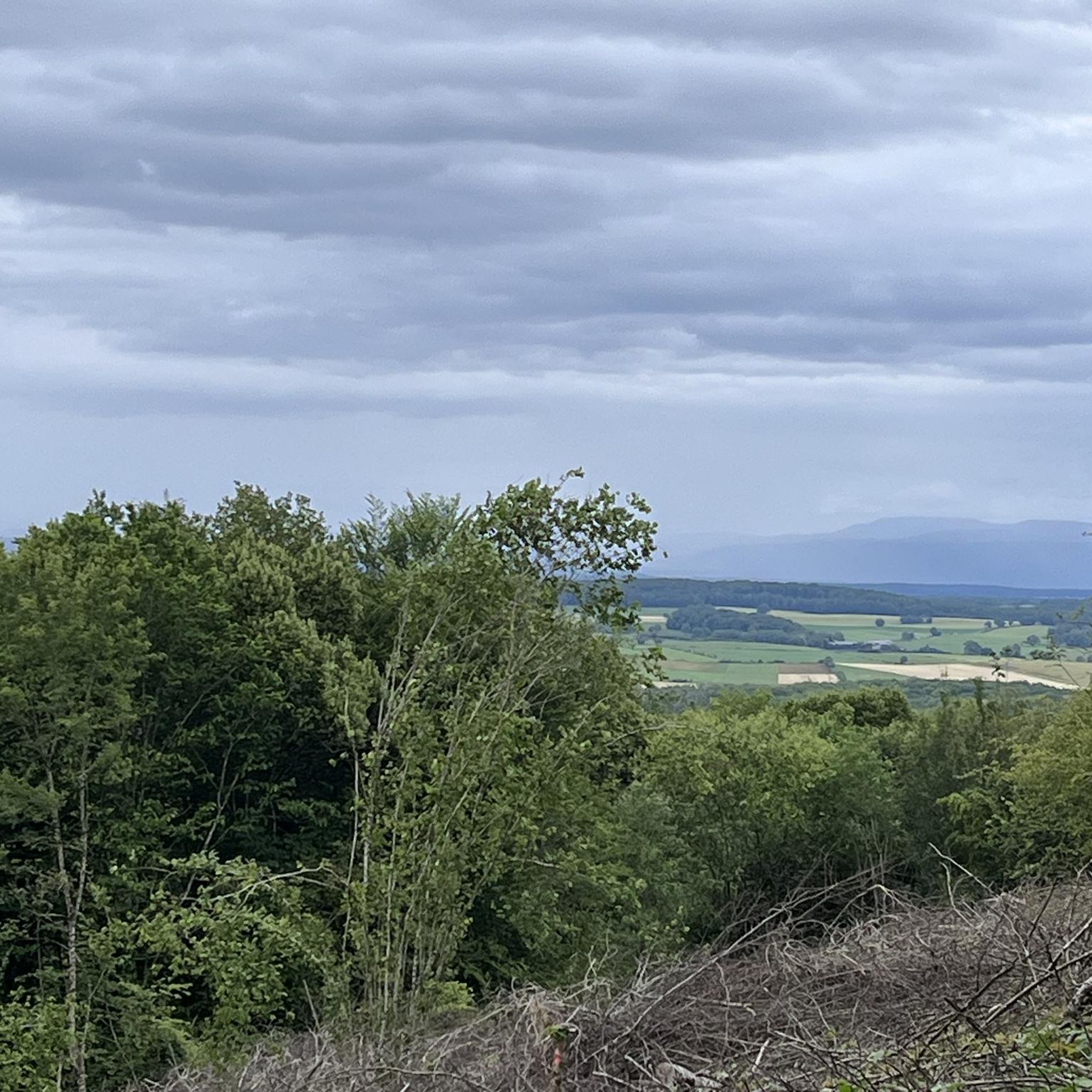
Hiking around Châtenois offers routes through varied terrain, characterized by woodlands, rolling hills, and rural landscapes. The region features moderate elevation changes, with many trails exploring the local countryside and historical points of interest. Paths often connect small villages and natural sites, providing a mix of forest tracks and open views.
Best hiking trails around Châtenois
- The most popular hiking route is Grotte-mine des Équevillons loop from Montcey, a 5.1 miles (8.2 km) trail that takes 2 hours 17…
Last updated: July 4, 2026
4.5
(2)
4
hikers
8.23km
02:17
150m
150m
Moderate hike. Good fitness required. Easily-accessible paths. Suitable for all skill levels.
4.8
(8)
17
hikers
10.6km
02:56
180m
180m
Moderate hike. Good fitness required. Easily-accessible paths. Suitable for all skill levels.

Sign up for free
5
hikers
8.28km
02:13
100m
100m
Moderate hike. Good fitness required. Easily-accessible paths. Suitable for all skill levels.
1
hikers
4.69km
01:16
70m
70m
Easy hike. Great for any fitness level. Easily-accessible paths. Suitable for all skill levels.
5.0
(1)
4
hikers
14.0km
03:48
200m
200m
Moderate hike. Good fitness required. Easily-accessible paths. Suitable for all skill levels.
Get access to more routes and recommendations from other explorers.
Sign up for free
Already have an account?
Our route recommendations are based on thousands of hikes, rides, and runs completed by other people on komoot.
Start today with a free account
Your next adventure awaits.
Login or Signup


Tips from the Community

The very charming covered wash house of Citers turns out to be ideal for cooling off, resting in the shade, bivouacking or even protecting yourself from the rain.
2
0
Frequently Asked Questions
Are there easy hiking trails suitable for beginners in Châtenois?
Yes, Châtenois offers several easy hiking options. For instance, the Hiking loop from Arpenans is an easy 2.3 km trail that takes about 43 minutes to complete, perfect for a gentle stroll.
What is the typical duration of hikes around Châtenois?
Hikes around Châtenois vary in length and duration. Many popular routes, such as the Grotte-mine des Équevillons loop from Montcey, typically take between 2 to 3 hours to complete. Shorter, easy trails can be finished in under an hour, while longer moderate routes might extend to 3.5 hours.
Are there family-friendly hiking options in Châtenois?
Châtenois has several trails suitable for families, especially those looking for moderate distances and gentle elevation changes. The region's trails often pass through woodlands and rural landscapes, providing a pleasant environment for all ages. Look for routes marked as 'easy' or 'moderate' with shorter distances.
Are dogs allowed on the hiking trails in Châtenois?
Generally, dogs are welcome on hiking trails in Châtenois, especially in rural and woodland areas. It's always recommended to keep dogs on a leash, particularly when passing through agricultural land or near livestock, and to clean up after them. Specific restrictions might apply in certain protected natural areas, but these are rare on general hiking paths.
Are there any challenging hikes for experienced hikers in Châtenois?
While most trails in Châtenois are moderate, there is at least one route classified as 'difficult'. These trails typically feature more significant elevation changes or longer distances, providing a greater challenge for experienced hikers. Always check the route details for specific difficulty ratings and terrain information.
What is the best time of year to go hiking in Châtenois?
The best time for hiking in Châtenois is typically from spring to autumn (April to October). During these months, the weather is generally mild and pleasant, with lush greenery in spring and vibrant colors in autumn. Summer offers warm conditions, ideal for longer days out, though some paths might be exposed to the sun.
What are the conditions like for winter hiking in Châtenois?
Winter hiking in Châtenois is possible, but conditions can vary. Trails may be muddy, icy, or covered in light snow, especially in shaded forest sections. It's advisable to wear appropriate waterproof footwear with good grip and check local weather forecasts before heading out. Some paths might be less maintained during colder months.
Are there many circular hiking routes available in Châtenois?
Yes, many of the hiking routes in Châtenois are designed as circular walks, allowing you to start and end at the same point. Examples include the The Madonna of Saint-Barthélémy loop from Dampvalley-lès-Colombe and the Grotte-mine des Équevillons loop from Comberjon, which offer convenient exploration of the area.
What do other hikers enjoy most about hiking in Châtenois?
The hiking trails in Châtenois are highly rated by the komoot community, with an average score of 4.5 stars. Hikers often praise the varied terrain, which includes woodlands, rolling hills, and rural landscapes, as well as the well-maintained paths that connect small villages and historical sites.
Are there hiking routes in Châtenois that pass by places for a meal or refreshment?
While specific pub lunches directly on trails are not explicitly highlighted, many routes in Châtenois connect small villages. These villages often have local establishments where you can find refreshments or a meal. Planning your route to pass through a village like Ailloncourt, near the Lavoir de Citers loop, can provide opportunities for a break.
How many hiking trails are available in the Châtenois region?
The Châtenois region offers a good selection of hiking trails, with over 8 routes documented on komoot. These trails cater to various preferences, from easy strolls to more challenging day hikes, exploring the diverse landscapes of the area.
Is parking readily available near the trailheads in Châtenois?
In most villages and starting points for hikes around Châtenois, you can typically find public parking areas. For popular trailheads, especially those near villages like Montcey or Comberjon, parking is usually accessible. It's always a good idea to check specific route descriptions for detailed parking information if available.

Get inspired with the komoot mobile app


Explore more
Browse the best Hikes in other regions.
