The best walks and hikes around Chassigny-Sous-Dun
4.4
(56)
296
hikers
85
hikes
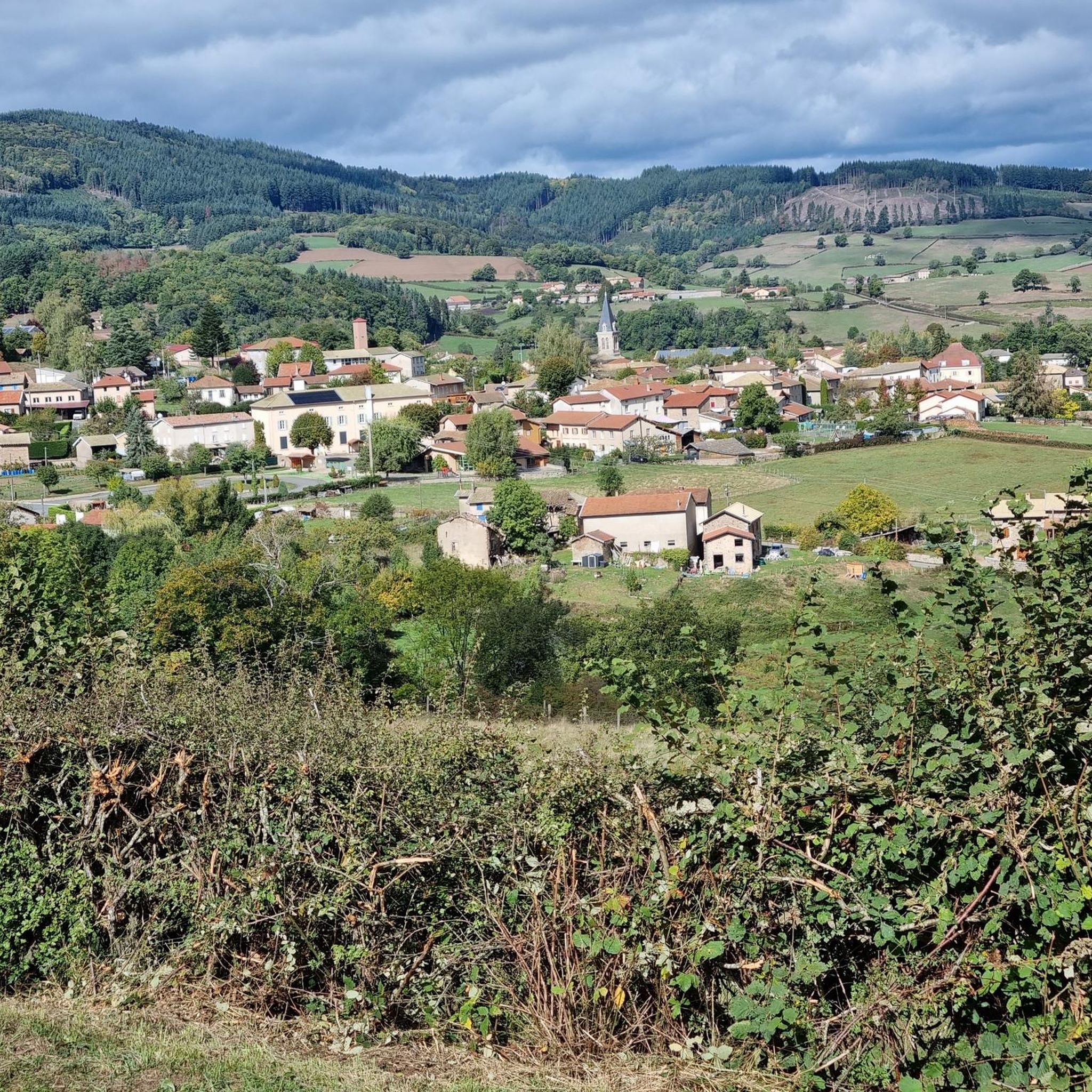
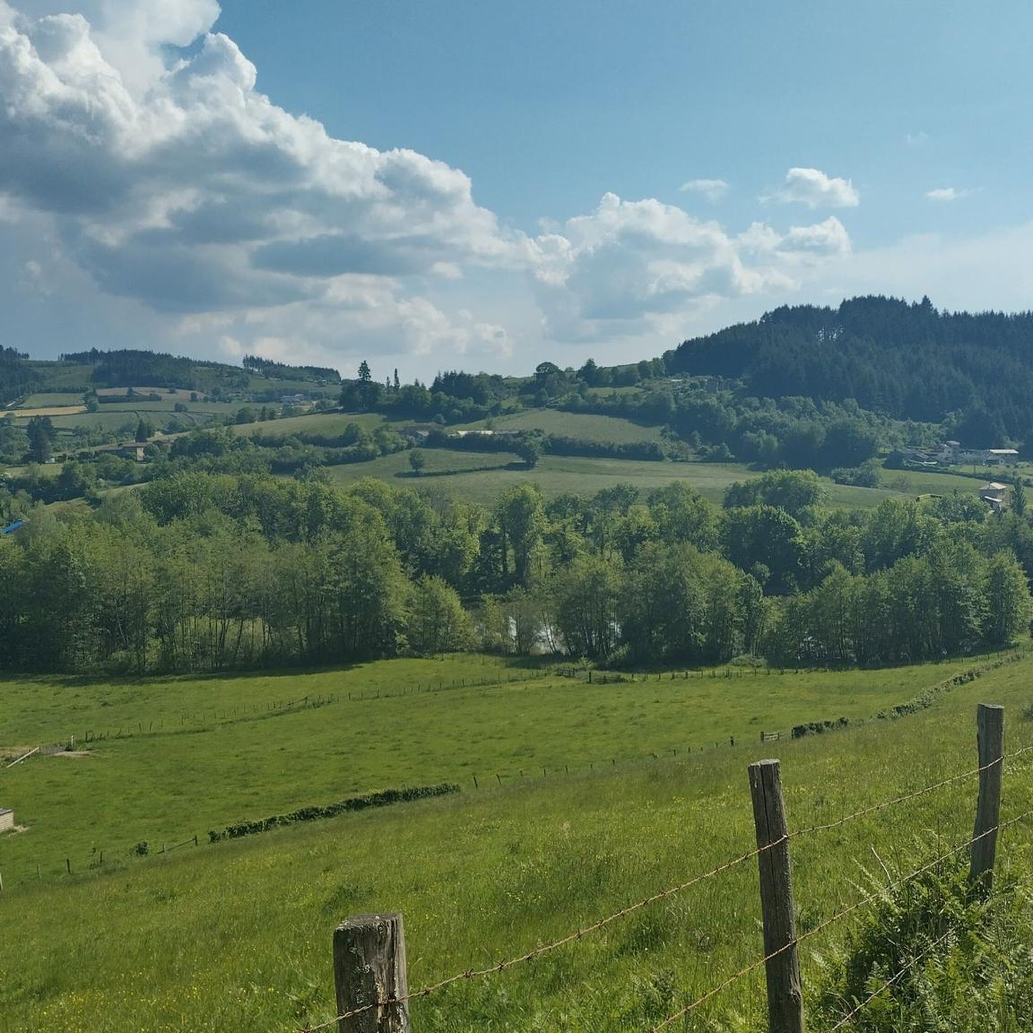
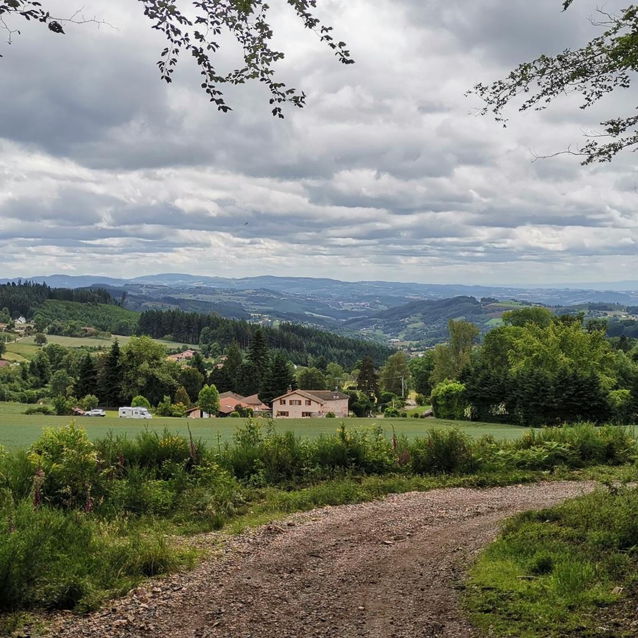
Hiking around Chassigny-Sous-Dun offers diverse landscapes within the Saône-et-Loire department, characterized by the prominent Montagne de Saint-Cyr and the tranquil Brionnais region. The terrain includes varied features such as mountain ridges, bocage countryside with ponds, and forested areas primarily on the flanks of Montagne de Dun. Rivers like the Mussy and Sornin traverse the commune, contributing to a rich natural habitat suitable for outdoor exploration.
Best hiking trails around Chassigny-Sous-Dun
- The most popular hiking route is Montagne de Dun —…
Last updated: July 3, 2026
4.0
(1)
9
hikers
8.65km
02:39
310m
310m
Moderate hike. Good fitness required. Easily-accessible paths. Suitable for all skill levels.
4
hikers
13.2km
03:50
340m
340m
Moderate hike. Good fitness required. Easily-accessible paths. Suitable for all skill levels.

Sign up for free
1
hikers
9.39km
02:49
310m
310m
Moderate hike. Good fitness required. Easily-accessible paths. Suitable for all skill levels.
5.0
(1)
3
hikers
9.09km
02:35
200m
200m
Moderate hike. Good fitness required. Easily-accessible paths. Suitable for all skill levels.
1.0
(1)
5
hikers
13.7km
03:59
360m
360m
Moderate hike. Good fitness required. Easily-accessible paths. Suitable for all skill levels.
Get access to more routes and recommendations from other explorers.
Sign up for free
Already have an account?
Our route recommendations are based on thousands of hikes, rides, and runs completed by other people on komoot.
Start today with a free account
Your next adventure awaits.
Login or Signup

Tips from the Community


Great walk. Beautiful view with picnic tables and tap with drinking water. However, NOT an easy walk. You must be able to walk well.
0
0

This summit houses a chapel, but it was previously a strong defensive position. From the Arab invasions in 730 to the successive Norman and Hungarian invasions, this stronghold has resisted. It was not until 1180 that the fortress fell into the hands of King Philippe Auguste, who destroyed it but spared the chapel. The summit offers magnificent views.
3
0

The Viaduc de Mussy-sous-Dun is a railway bridge that was finished in 1895. It is 60m in height and 561m in length.
1
0

Large and shaded well-maintained picnic area.
0
0

Built for transporting military equipment by railroad. decommissioned.
0
0
Frequently Asked Questions
How many hiking trails are available around Chassigny-Sous-Dun?
There are over 80 hiking routes in the Chassigny-Sous-Dun area, offering a wide range of options from easy strolls to more challenging circuits. The trails are highly rated by the komoot community, with an average score of 4.3 stars from over 40 reviews.
What kind of terrain can I expect on hikes in Chassigny-Sous-Dun?
The terrain around Chassigny-Sous-Dun is quite varied. You'll find mountain ridges, particularly on the Montagne de Dun and Montagne de Saint-Cyr, offering panoramic views. The Brionnais region features a 'demi-bocage' landscape with pleasant, easy walks through green environments, past numerous ponds and historic grain mills. There are also forested sections, especially on the flanks of the Montagne de Dun, providing shaded trails.
Are there any easy hiking trails suitable for beginners or relaxed walks?
Yes, Chassigny-Sous-Dun offers 16 easy hiking routes. The Brionnais-Pays Clayettois area, with its tranquil 'demi-bocage' landscape, is particularly well-suited for pleasant, easy walks, allowing you to discover ponds and historic grain mills.
What are some notable landmarks or viewpoints to see while hiking?
Hikers can enjoy stunning panoramic views from the ridges of the Montagne de Saint-Cyr, which can stretch towards the Morvan, Mont Blanc, Mont Saint-Rigaud, and even the Puy de Dôme. Along trails on the southwestern foothills of the Montagne de Dun, you can encounter the remnants of an old Romanesque church choir and bell tower. Other points of interest include the Blue Cross and Picnic Area and the Chapel of Fatima.
Are there any circular hiking routes in the area?
Yes, many of the trails around Chassigny-Sous-Dun are circular. For example, the Montagne de Dun — loop from Mussy-sous-Dun is a popular option, taking about 2 hours 39 minutes to complete. Another moderate circular path is The Chapel of the Old Village loop from La Chapelle-sous-Dun.
What is the best time of year to go hiking in Chassigny-Sous-Dun?
The region offers enjoyable hiking opportunities throughout much of the year. Spring and autumn provide pleasant temperatures and beautiful scenery, with varied foliage. Summer is also suitable, especially for shaded trails in forested areas or higher elevations like the Montagne de Saint-Cyr. Winters can be cold, but clear days can offer crisp views.
Are there any longer or more challenging hikes for experienced hikers?
Yes, for more experienced hikers, there are 7 difficult routes available. The Montagne de Saint-Cyr offers extensive hiking opportunities along its ridges with varied terrain. While most routes are moderate, the longer loops like Old village chapel loop from Mussy-sous-Dun (8.2 miles) provide a good challenge with significant elevation changes.
What kind of natural features can I expect to see along the trails?
You'll encounter diverse natural features, including prairies, Douglas firs, holly, beeches, and oaks on the Montagne de Saint-Cyr. The Brionnais region is characterized by numerous ponds and the Mussy and Sornin rivers traverse the commune, contributing to a rich natural habitat. The flanks of the Montagne de Dun also feature significant wooded areas, primarily conifers and mixed species.
Is there parking available at the trailheads?
While specific parking details for every trailhead are not listed, many hiking routes in rural areas like Chassigny-Sous-Dun typically have designated parking areas near villages or popular starting points. It's advisable to check the individual tour details on komoot for specific parking information for your chosen route.
Can I find historical sites along the hiking trails?
Yes, the area has historical significance. On the southwestern foothills of the Montagne de Dun, hikers can discover the remnants of an old Romanesque church choir and bell tower, which was part of the primitive church of Chassigny built in the late 12th century. This adds a cultural dimension to walks in the area.
What do other hikers say about the trails in Chassigny-Sous-Dun?
The trails in Chassigny-Sous-Dun are highly regarded by the komoot community, with an average rating of 4.3 out of 5 stars from over 40 reviews. Hikers often praise the varied landscapes, from panoramic mountain views to tranquil bocage countryside, and the well-maintained paths that cater to different skill levels.
Are there any routes that pass by rivers or water features?
Yes, the commune is traversed by the Mussy river to the south and the Sornin river to the west. The Brionnais region also features numerous ponds, offering pleasant walks alongside water features. While specific routes are not highlighted for waterfalls, the presence of these rivers and ponds adds to the natural beauty of many trails.
Most popular attractions around Chassigny-Sous-Dun

Get inspired with the komoot mobile app


Explore more
Browse the best Hikes in other regions.
