The best mountain hikes around Griesbach-Au-Val
4.4
(12)
43
hikers
6
hikes
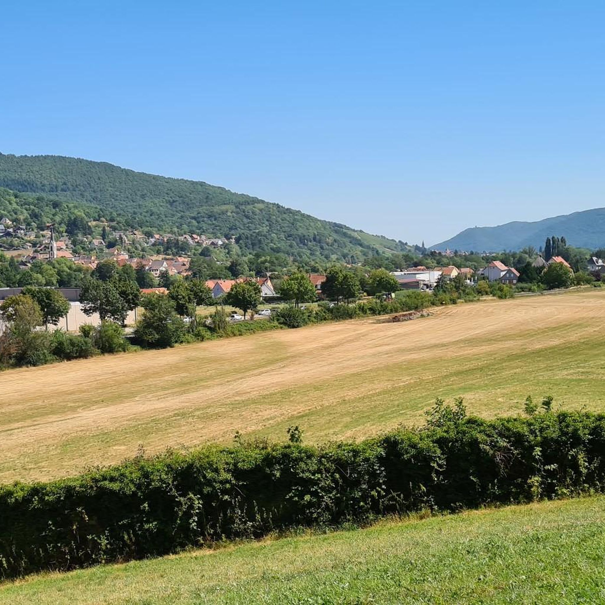
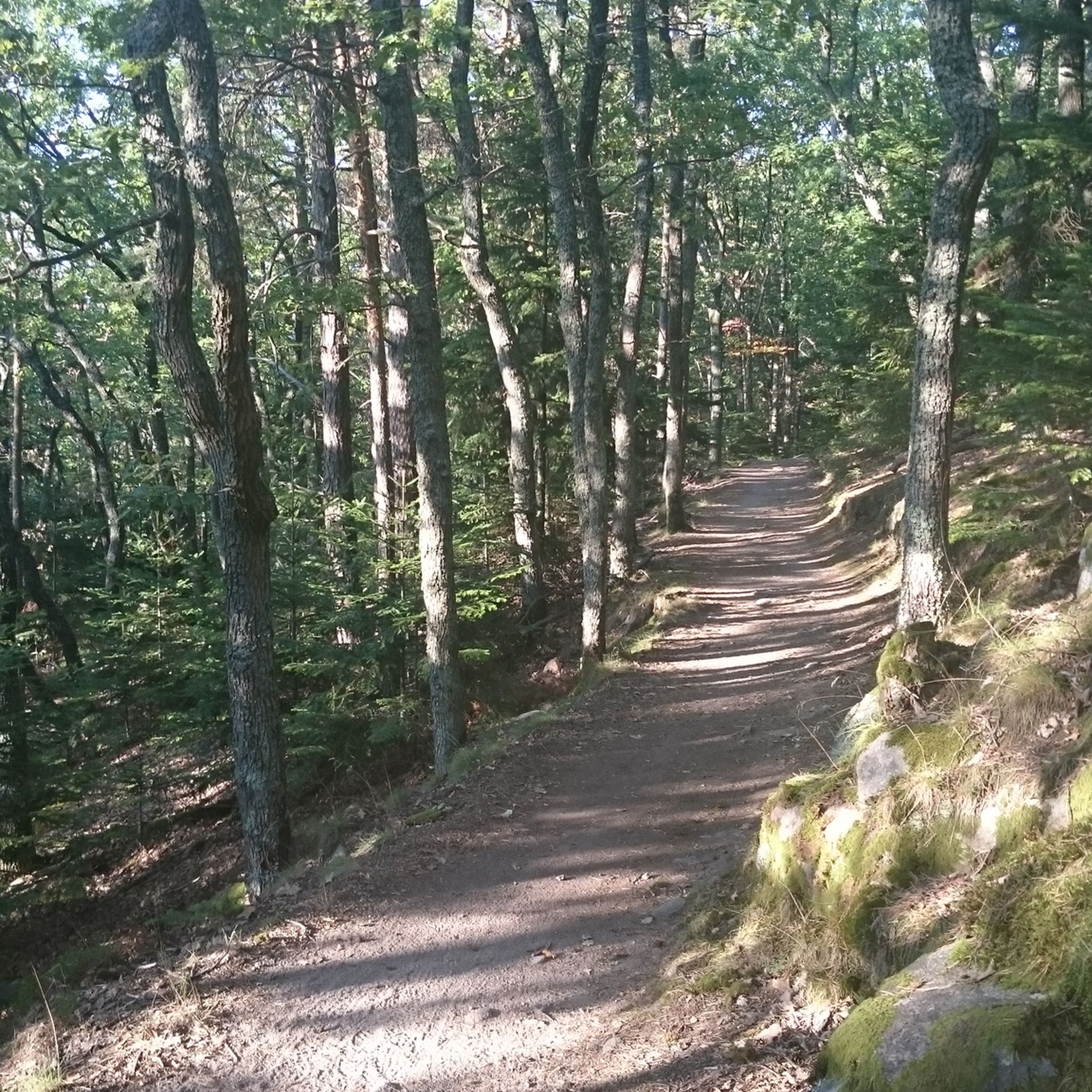
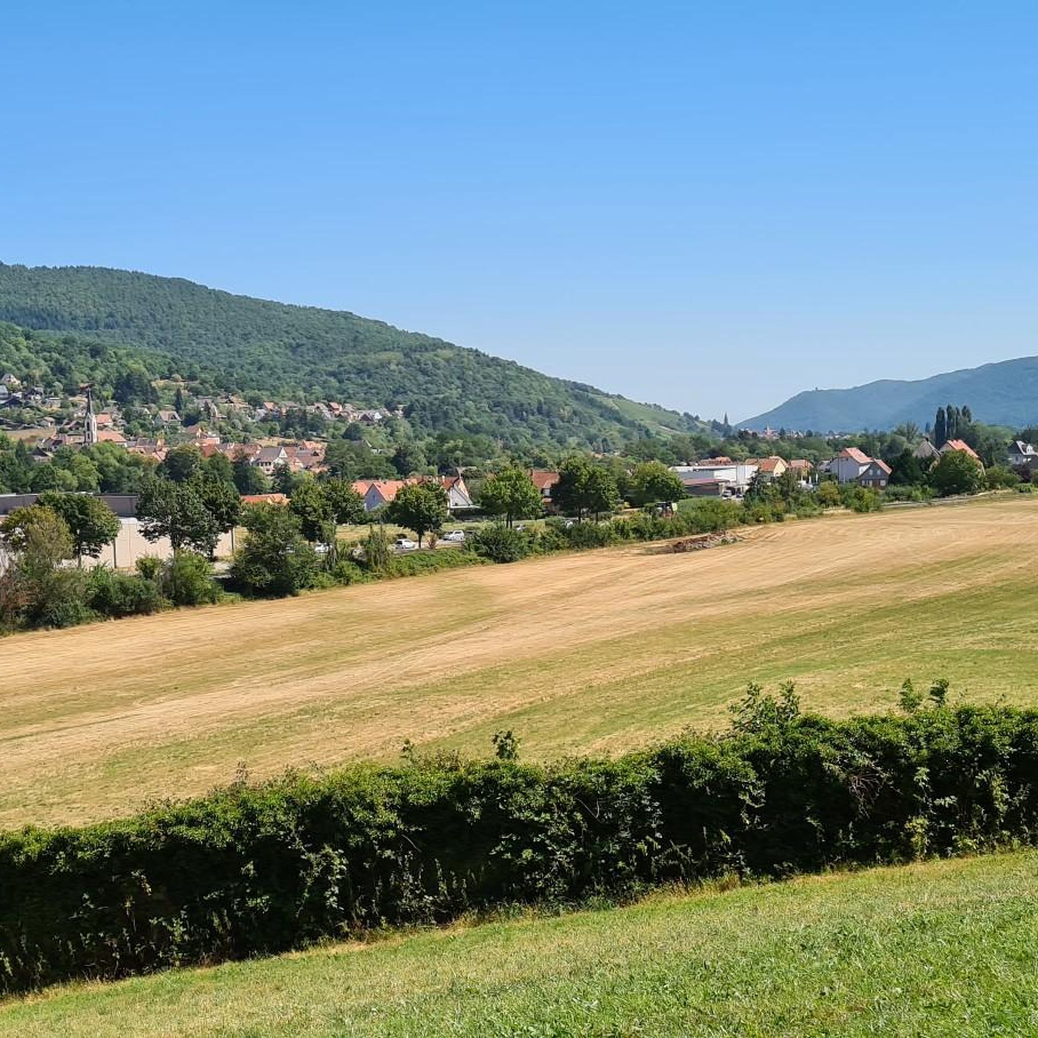
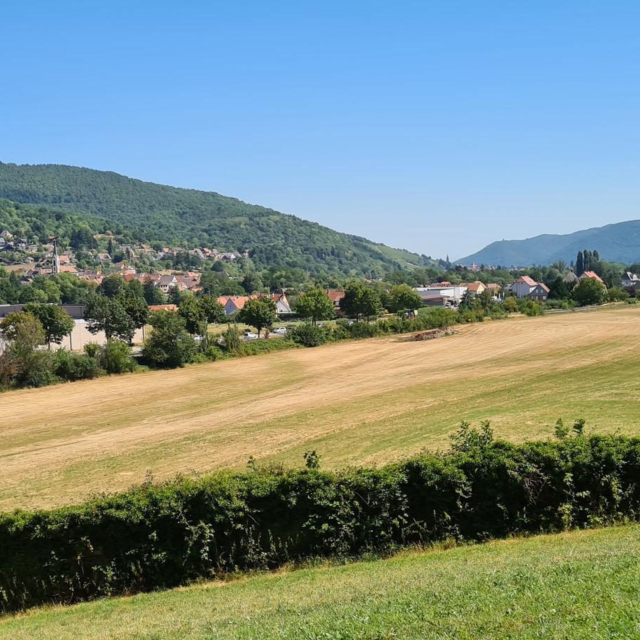
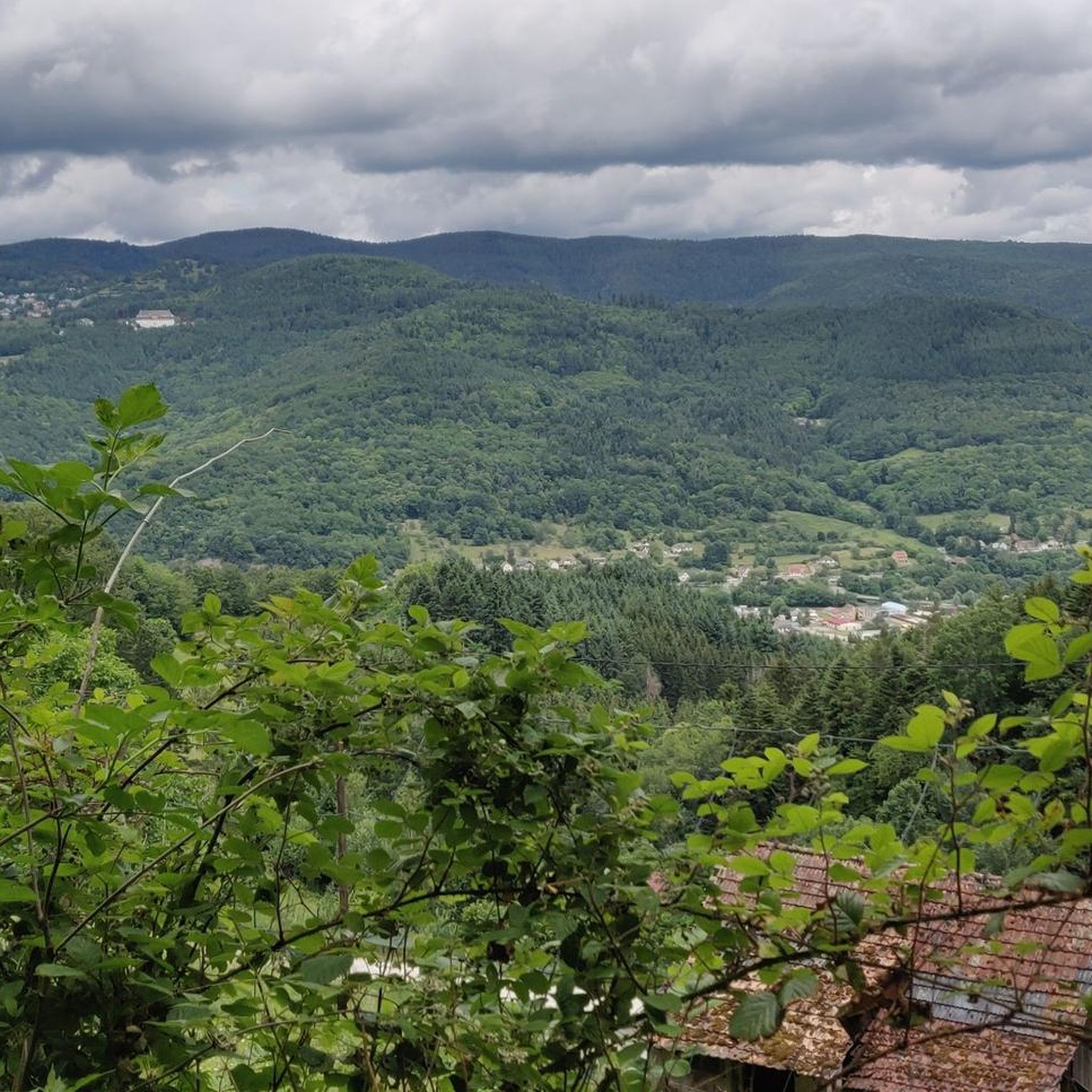
Mountaineering around Griesbach-Au-Val is set within the Haut-Rhin department of France's Grand Est region, offering diverse landscapes for outdoor activities. The region is characterized by its location within the Vosges mountains, with elevations ranging from approximately 331 to 821 meters. Notable features include prominent peaks like Hohneck, Ballon d'Alsace, and the Petit Ballon, providing varied terrain for mountaineering. The picturesque Munster Valley also contributes to the scenic backdrop, with communal forests offering marked trails.
Best mountaineering routes around Griesbach-Au-Val
- The…
Last updated: July 4, 2026
4.7
(3)
16
hikers
12.1km
04:07
460m
460m
Moderate mountaineering route. Good fitness required. Mostly accessible paths. Sure-footedness required.
4.5
(4)
7
hikers
Moderate mountaineering route. Good fitness required. Mostly accessible paths. Sure-footedness required.

Sign up for free
5.0
(2)
10
hikers
11.4km
04:35
680m
680m
Moderate mountaineering route. Good fitness required. Mostly accessible paths. Sure-footedness required.
5.0
(2)
4
hikers
7.29km
02:44
330m
330m
Hard mountaineering route. Good fitness required. Sure-footedness, sturdy shoes and alpine experience required.
3.0
(1)
4
hikers
14.7km
05:11
790m
790m
Hard mountaineering route. Very good fitness required. Mostly accessible paths. Sure-footedness required.
Our route recommendations are based on thousands of hikes, rides, and runs completed by other people on komoot.
Start today with a free account
Your next adventure awaits.
Login or Signup
Tips from the Community

It culminates at 1228 meters altitude.
0
0

Awesome views that you have earned as a reward through the Felsenland
3
0


Beautiful saddle with 360-degree views in both directions. Continue a bit further to Klein Honneck, where you'll also see the lake below and enjoy an even wider panorama.
0
0

Unfortunately, there's no small summit cross here, but the view is fantastic. When I was there, everyone else took the same route back to the Col du Schaefferthal. But if you continue, following the ski lift about 500 meters down into the valley, you'll come to a cross path. Take this to the right until you reach the Ferme Schiessroth, and from there back to the Col du Schaefferthal.
2
0


Komoot gives a warning for this difficult passage. Don't let this stop you, from the Dagobert Cave it is climbing over rocks. Good shoes on a nice day contribute to success! Very challenging, but doable.
0
0

This highlight section of the trail from Frankenthal up to the Col du Schäferthal is not on the Rocky Trail (Sentier des Rochers), but represents a possible continuation. Many photos were not taken on this section; the view of Lac de Schiessrothried is not visible from this side.
0
0
Frequently Asked Questions
What types of mountaineering routes can I find around Griesbach-Au-Val?
The Griesbach-Au-Val region, nestled in the Vosges mountains, offers a variety of mountaineering routes. You'll find trails ranging from moderate to difficult, with diverse landscapes including prominent peaks, high-altitude passes like the Petit Ballon, and dense forests. The routes cater to various experience levels, providing both scenic walks and challenging ascents.
Are there any circular mountaineering routes available?
Yes, several circular routes are popular in the area. For a moderate option, consider the Le Tanet Summit – Taubenklangfelsen Viewpoint loop from Le Tanet, which offers access to a summit and a scenic viewpoint. Another moderate choice is the Lac du Forlet – Taubenklangfelsen Viewpoint loop from Réserve naturelle du Tanet-Gazon-du-Faing, exploring a lake and a nature reserve. For a more challenging circular route, the Petit Ballon – Col du Hilsenfirst loop from Linthal provides significant elevation gain and mountain pass views.
What is the best time of year for mountaineering in Griesbach-Au-Val?
The Vosges mountains, where Griesbach-Au-Val is located, are generally best for mountaineering from spring through autumn. During these seasons, the weather is more stable, and trails are typically clear of snow, offering optimal conditions for exploring the diverse landscapes and higher elevations. Winter mountaineering is possible but requires specific equipment and experience due to snow and ice conditions.
Are there any family-friendly mountaineering routes in the area?
While many routes offer significant challenges, the region does provide options suitable for families. The Munster Valley, where Griesbach-Au-Val is situated, features marked hiking trails of varying lengths. For instance, the 'Gourmand walk' is a 9 km family-friendly hike that combines scenic views with stops. When choosing a route, look for those described as moderate or with lower elevation gains, and always check the specific trail details for suitability.
Can I bring my dog on the mountaineering trails?
Many trails in the Vosges mountains are dog-friendly, but it's always advisable to check local regulations for specific routes or protected areas. Generally, dogs should be kept on a leash, especially in nature reserves or areas with livestock, to ensure their safety and respect wildlife. Always carry water for your dog and be prepared to clean up after them.
What kind of views can I expect on the mountaineering routes around Griesbach-Au-Val?
Mountaineering routes in this region offer spectacular panoramic views. From peaks like the Petit Ballon, you can enjoy magnificent vistas of the surrounding Vosges mountains and the picturesque Munster Valley. Trails often lead through mountain pastures, dense forests, and past notable features like the Taubenklangfelsen Viewpoint, providing diverse and rewarding scenery.
Are there any historical landmarks or points of interest along the routes?
Yes, the region is rich in history and natural beauty. While exploring, you might encounter various points of interest. For example, the Galtz Monument is a notable man-made landmark. The wider area also features impressive castles such as The Three Castles of Eguisheim, Hohlandsbourg Castle, and Hohnack Castle, which can be explored as separate excursions or accessed via connecting trails.
How can I access the mountaineering trailheads by public transport?
Griesbach-Au-Val is located within the Munster Valley, which generally has public transport connections. While direct access to every trailhead might vary, you can often reach the town of Munster by bus, and from there, local services or short taxi rides might connect you to specific starting points. It's recommended to check local bus schedules from Munster to Griesbach-Au-Val or nearby villages for the most up-to-date information on reaching trailheads.
Where can I find parking for mountaineering trails in Griesbach-Au-Val?
Parking availability varies by trailhead. Many popular starting points for trails, especially those leading to significant peaks or natural attractions, will have designated parking areas. For routes like the Col du Schaeferthal loop from Gaschney or the Abstieg nach Frankenthal – Schaefferthal Pass loop from Gaschney, you would typically find parking facilities in or near the village of Gaschney. Always look for official parking signs and respect local regulations.
What do other mountaineers enjoy most about the routes in Griesbach-Au-Val?
The mountaineering routes around Griesbach-Au-Val are highly rated by the komoot community, with an average score of 4.4 stars from more than 10 reviews. Reviewers often praise the varied terrain, the stunning panoramic views from the Vosges peaks, and the opportunity to explore both challenging ascents and serene forest paths. The well-maintained trails and the natural beauty of the Munster Valley are frequently highlighted.
Are there any particularly challenging mountaineering routes for experienced climbers?
Yes, for experienced mountaineers seeking a challenge, the region offers routes with significant elevation gain. The Petit Ballon – Col du Hilsenfirst loop from Linthal is classified as difficult, covering 14.5 km with substantial ascents and descents, providing a rigorous experience and rewarding mountain pass views. Another difficult option is the Abstieg nach Frankenthal – Schaefferthal Pass loop from Gaschney, which also presents a demanding climb.
Most popular routes around Griesbach-Au-Val
Most popular attractions around Griesbach-Au-Val

Get inspired with the komoot mobile app


Explore more
Browse the best Mountain Hikes & Routes in other regions.
