The best walks and hikes around Neuvelle-Lès-Cromary
4.2
(144)
557
hikers
64
hikes
Hiking around Neuvelle-Lès-Cromary offers a network of trails through a gently rolling landscape, characterized by river valleys and agricultural land. The region features low elevation gains, making many routes suitable for beginner hiking routes Neuvelle-Lès-Cromary. These easy hikes Neuvelle-Lès-Cromary distance vary, providing options for different activity levels. The area's trails often pass by local landmarks and offer views of the surrounding countryside.
Best hiking trails around Neuvelle-Lès-Cromary
- The most popular hiking route is View of the Ognon – Lavoir de…
Last updated: July 2, 2026
4.6
(5)
29
hikers
6.52km
01:44
70m
60m
Easy hike. Great for any fitness level. Easily-accessible paths. Suitable for all skill levels.
4.7
(3)
7
hikers
9.38km
02:31
110m
110m
Moderate hike. Good fitness required. Easily-accessible paths. Suitable for all skill levels.

Sign up for free
5.0
(1)
7
hikers
8.54km
02:15
80m
80m
Moderate hike. Good fitness required. Easily-accessible paths. Suitable for all skill levels.
5.0
(1)
2
hikers
4.54km
01:12
40m
40m
Easy hike. Great for any fitness level. Easily-accessible paths. Suitable for all skill levels.
5.0
(1)
2
hikers
10.3km
02:50
170m
170m
Moderate hike. Good fitness required. Easily-accessible paths. Suitable for all skill levels.
Get access to more routes and recommendations from other explorers.
Sign up for free
Already have an account?
Our route recommendations are based on thousands of hikes, rides, and runs completed by other people on komoot.
Start today with a free account
Your next adventure awaits.
Login or Signup


Tips from the Community


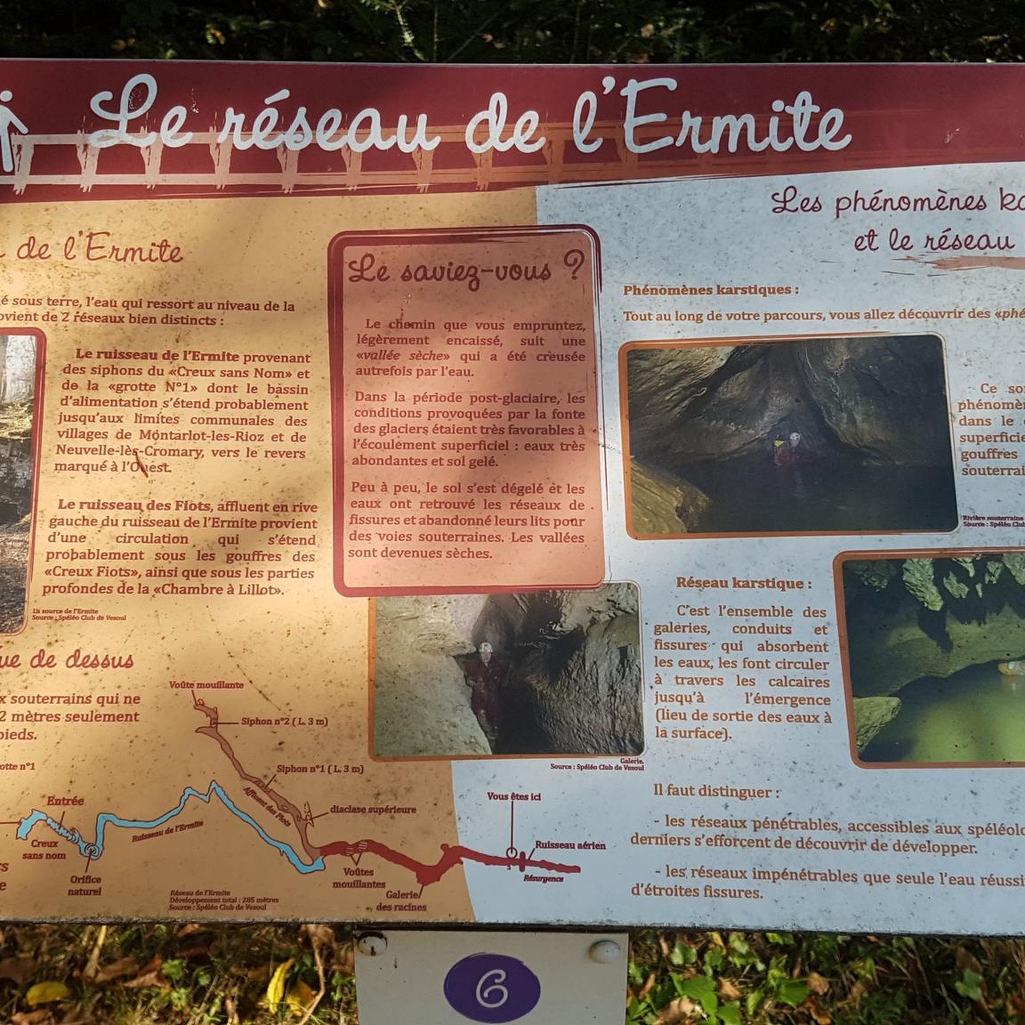
The Hermite is a small stream that, after its resurgence, runs for about two kilometers in wide meanders before flowing into the Buthiers, a tributary of the Ognon. The Buthiers is a river that comes from the Noirefond funnel north of Rioz. Before its resurgence, the Hermite runs through a recognized underground network for about 1049 m, of which 285 m can be traveled by man... I advise you to take a look at the site: https://www.lieux-insolites.fr/hsaone/ermite/ermite.htm
1
0
Destroyed in 1477 by the troops of Louis XI, the fortified house was rebuilt in the 16th century by Étienne de Labrey. The building is now occupied by a farm. The building was listed as a historical monument in 1977. WIKIPEDIA
0
0

Built in the 16th century, the fortified house is made up of buildings defended by loopholes which form a closed courtyard. This fortified house has now been transformed into a farm. It has retained its keep and its chapel, as well as a mill from the beginning of the 18th century. Very well preserved, it is listed as a Historic Monument.
2
0
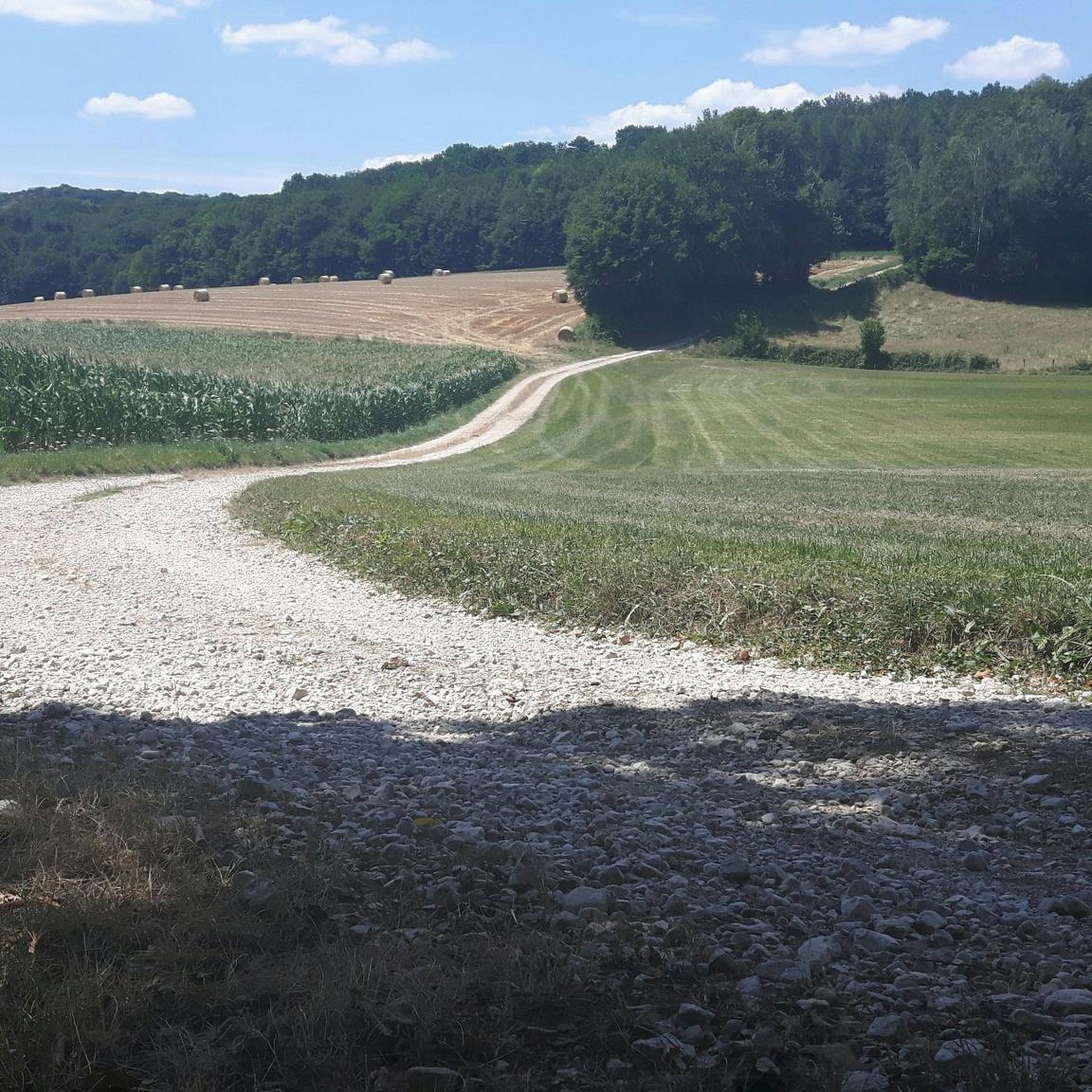
Hike along the Ognon and in pleasant forest and offering charming views of the river.
2
0
Fontaine-lavoir from 1822.
1
0
Frequently Asked Questions
How many hiking trails are available around Neuvelle-Lès-Cromary?
There are over 50 hiking routes in the Neuvelle-Lès-Cromary area, offering a variety of options for different skill levels. You'll find a good mix of easy and moderate trails to explore the region's river valleys and agricultural landscapes.
Are there easy hikes suitable for beginners in Neuvelle-Lès-Cromary?
Yes, the region is known for its low elevation gains, making it ideal for beginners. About 22 of the trails are rated as easy. A good option is the Route de Cromary loop from Cromary, which is just under 3 miles (4.8 km) and takes about 1 hour 15 minutes.
Can I find circular walks in Neuvelle-Lès-Cromary?
Many of the trails around Neuvelle-Lès-Cromary are circular, allowing you to start and end at the same point. For example, the Lavoir de Palise loop from Palise is an easy 4.0 miles (6.5 km) circular path that explores the local countryside.
What kind of terrain can I expect on the hiking trails?
The terrain around Neuvelle-Lès-Cromary is generally gently rolling, characterized by river valleys, open fields, and agricultural land. You'll encounter paths through small villages and along rivers, with relatively low elevation changes, making for pleasant walking.
Are there any family-friendly hiking options?
Yes, the gentle nature of the landscape and low elevation gains make many routes suitable for families. Look for the 'easy' rated trails, which are often shorter and less strenuous, perfect for a family outing. The View of the Ognon – Lavoir de Palise loop from Cromary is a popular easy route that families might enjoy.
What are some interesting landmarks or attractions to see while hiking?
While hiking, you can discover several points of interest. The Moncey Castle loop from Thurey-le-Mont offers views of Moncey Castle. You might also consider exploring the nearby Chailluz Forest or the historic Fort de la Dame Blanche, which are accessible from some routes or a short drive away.
Is public transport available to reach the trailheads?
Public transport options directly to all trailheads in this rural area may be limited. It is advisable to check local bus schedules for connections to the main villages like Cromary, Palise, or Thurey-le-Mont, and plan your hike accordingly. Many visitors prefer to drive to access the starting points.
Where can I park my car for hiking in Neuvelle-Lès-Cromary?
Parking is generally available in the villages where many of the trails begin, such as Cromary, Palise, and Thurey-le-Mont. Look for designated public parking areas or roadside parking that respects local regulations. Always ensure you are not blocking private access or agricultural routes.
What is the best time of year to go hiking in Neuvelle-Lès-Cromary?
The best time to hike in Neuvelle-Lès-Cromary is typically from spring through autumn (April to October). During these months, the weather is generally mild and pleasant, and the landscapes are vibrant. Summer offers longer daylight hours, while autumn brings beautiful foliage.
Are the trails in Neuvelle-Lès-Cromary dog-friendly?
Most trails in the Neuvelle-Lès-Cromary region are dog-friendly, but it's always recommended to keep your dog on a leash, especially when passing through agricultural areas, near livestock, or in nature reserves. Always carry water for your dog and clean up after them.
What do other hikers say about the trails in this area?
The trails in Neuvelle-Lès-Cromary are highly rated by the komoot community, with an average score of 4.3 stars from over 100 reviews. Hikers often praise the peaceful countryside, the well-maintained paths, and the charming villages encountered along the way.
Most popular routes around Neuvelle-Lès-Cromary
Most popular attractions around Neuvelle-Lès-Cromary

Get inspired with the komoot mobile app


Explore more
Browse the best Hikes in other regions.
