The best road cycling routes around La Pacaudière
4.2
(30)
639
riders
90
rides
Road cycling routes around La Pacaudière navigate a landscape characterized by varying elevations, from gentle inclines to more significant climbs, reflecting the region's diverse topography. The area features a network of roads suitable for road bikes, connecting small towns and offering different levels of challenge. This terrain provides opportunities for both leisurely rides and more demanding training sessions.
Best road cycling routes around La Pacaudière
- The most popular road cycling route is Le Petit Louvre loop from La Pacaudière,…
Last updated: July 4, 2026
25
riders
66.1km
03:18
1,040m
1,040m
Hard road ride. Very good fitness required. Mostly well-paved surfaces and easy to ride.
15
riders
12.9km
00:35
80m
80m
Easy road ride. Great for any fitness level. Mostly well-paved surfaces and easy to ride.

Sign up for free
4.0
(1)
11
riders
75.6km
03:44
1,150m
1,150m
Hard road ride. Very good fitness required. Mostly well-paved surfaces and easy to ride.
8
riders
61.1km
03:11
1,020m
1,020m
Hard road ride. Very good fitness required. Some segments of this route may be unpaved and difficult to ride.
9
riders
33.6km
01:28
230m
230m
Easy road ride. Great for any fitness level. Mostly well-paved surfaces and easy to ride.
Get access to more routes and recommendations from other explorers.
Sign up for free
Already have an account?
Our route recommendations are based on thousands of hikes, rides, and runs completed by other people on komoot.
Start today with a free account
Your next adventure awaits.
Login or Signup
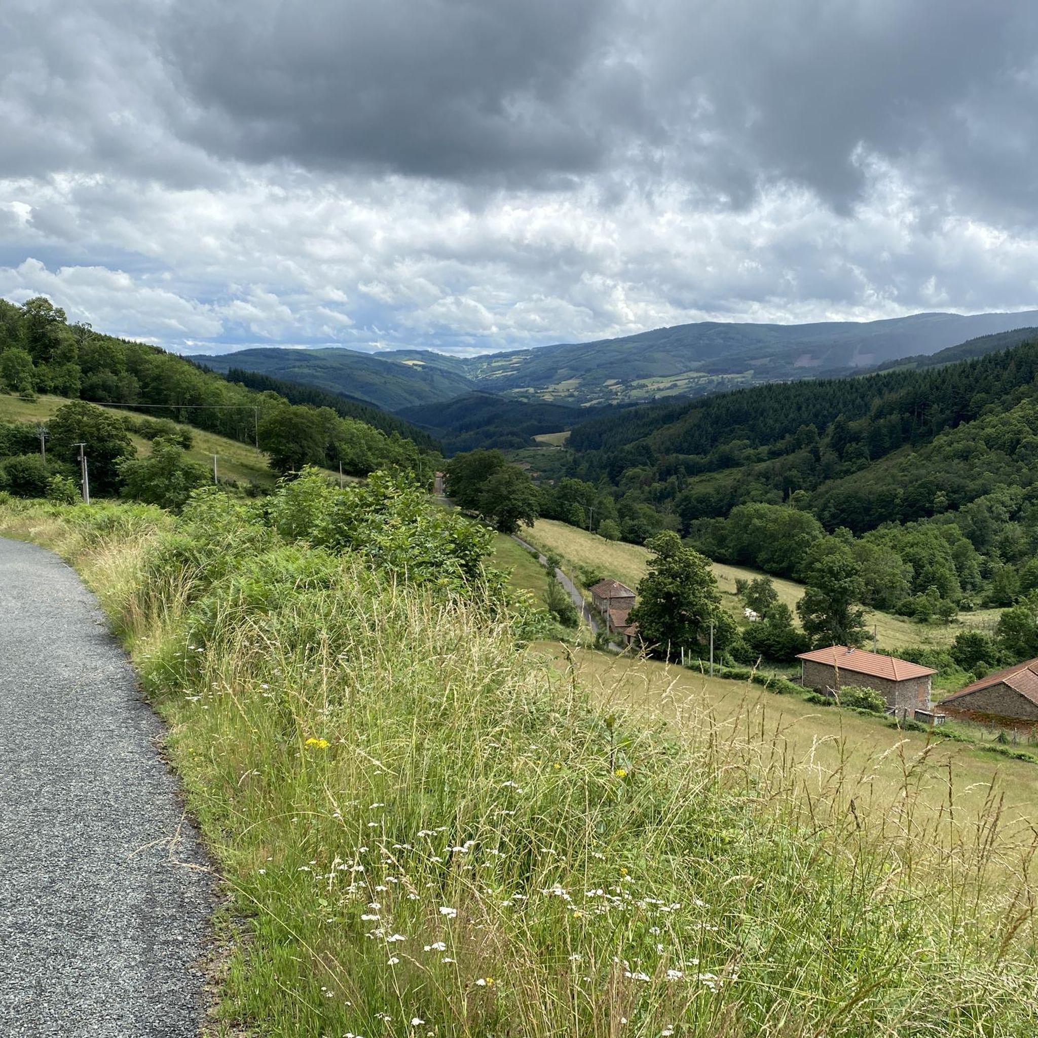
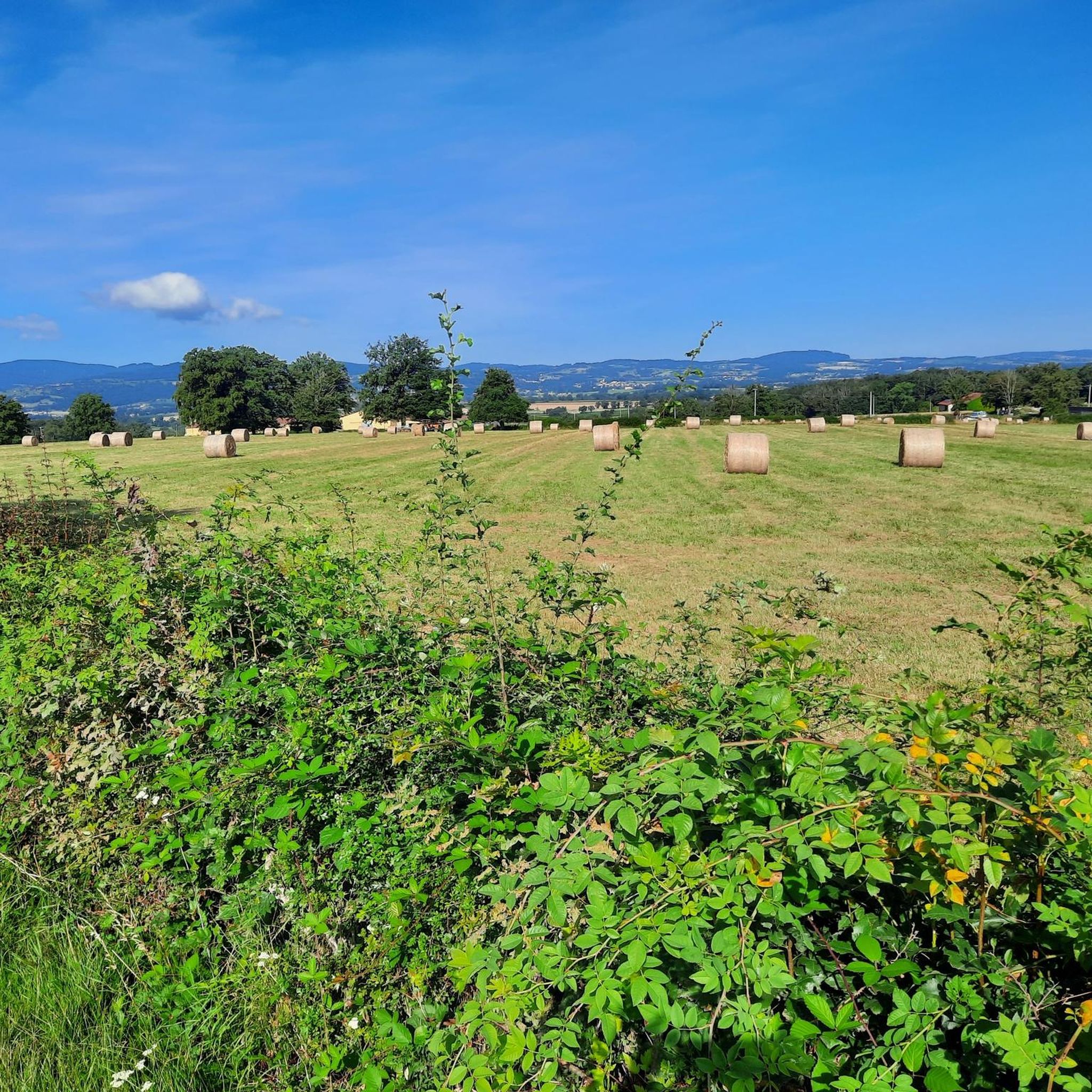
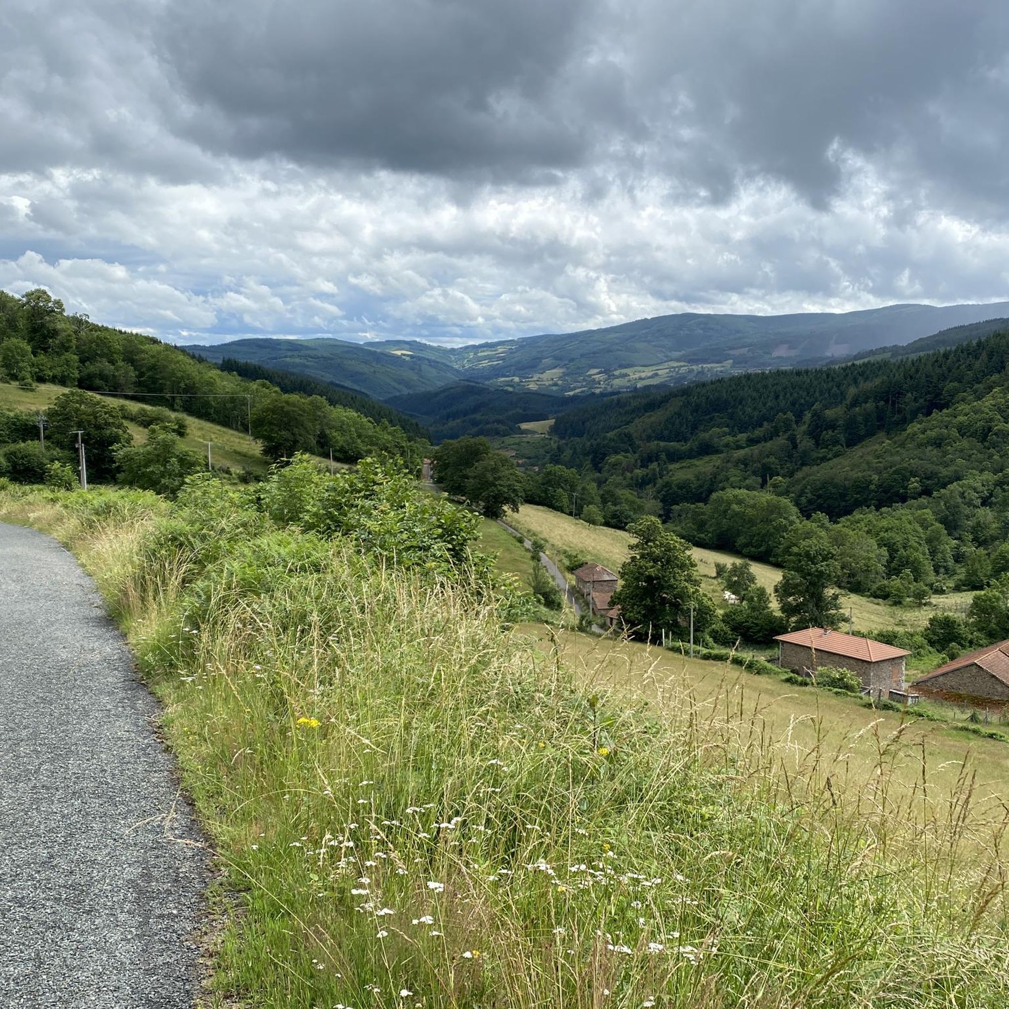

Tips from the Community


Simple coffee / lunch cafe. One of the few on the road.
0
0

Chargueraud is a pretty village nestled in the heart of the mountains. There is a shelter for hikers. In the early 19th century, the "Charguerauds" referred to a group of independent and feared travelers from the region.
0
0

Arfeuilles is a charming village dating back to the Middle Ages. It is located in the Allier department, on one of the last foothills of the Madeleine Mountains. Its proximity to nature makes it a popular destination for lovers of the great outdoors.
0
0

A small rural village, Châtelus was founded by the Gauls. Over the years, it grew into a substantial village, located on the important Roman road linking Cusset (Allier) to Marcigny (Loire). It houses a castle, later destroyed by the violent Wars of Religion. Today, the town maintains a museum dedicated to the 19th-century school, including numerous documents and furniture dating back to 1830. The museum is open on summer afternoons, from Thursday to Saturday.
0
0

Beautiful Romanesque church in small "mountain" village
0
0
A small rural village, Châtelus was founded by the Gauls. Over the ages, it became a significant village since it was located on the important Roman road linking Cusset (Allier) to Marcigny (Loire). It houses a castle, later destroyed by the violent Wars of Religion. Today, the town maintains a museum dedicated to the 19th century school, including multiple documents and furniture dating from 1830. The museum is open summer afternoons, from Thursday to Saturday.
0
0

The Col de la Croix du Sud from Saint-Bonnet-des-Quarts is 12 kilometers long with a total elevation gain of 398 meters. The average gradient is 3% with maximum gradients of 6%.
3
0
Frequently Asked Questions
How many road cycling routes are available around La Pacaudière?
There are nearly 90 road cycling routes around La Pacaudière, offering a diverse range of options for different skill levels. The region features varying elevations, from gentle inclines to more significant climbs.
What are the difficulty levels of road cycling routes in La Pacaudière?
La Pacaudière offers a good mix of routes for all abilities. You'll find 13 easy routes, 53 moderate routes, and 21 more challenging routes, catering to both leisurely rides and demanding training sessions.
Are there any easy road cycling routes suitable for beginners or families in La Pacaudière?
Yes, La Pacaudière has several easy routes perfect for beginners or family outings. A great option is the Le Petit Louvre loop from La Pacaudière, an 8.0-mile (12.9 km) trail that offers a pleasant ride through local surroundings with minimal elevation gain.
What kind of terrain can I expect on road cycling routes in La Pacaudière?
The terrain around La Pacaudière is characterized by rolling hills, open countryside, and quiet roads. You'll encounter varying elevations, from gentle inclines to more significant climbs, providing a diverse cycling experience.
Are there any circular road cycling routes in La Pacaudière?
Many of the routes in La Pacaudière are designed as loops, allowing you to start and finish in the same location. For example, the Donjon de Lepinasse – Le Petit Louvre loop from Changy is an easy 20.8-mile (33.6 km) path that features rolling terrain and passes by historical points of interest.
What are some interesting sights or landmarks along the road cycling routes?
Road cycling routes in La Pacaudière can lead you past several interesting points. You might encounter natural wonders like the Pisserotte Waterfall or explore the vast The Great Canopy of Lespinasse Forest. The region also features charming villages like Le Crozet and historical sites such as Le moulin du Mas.
Where can I find parking for road bike trails near La Pacaudière?
Many routes start directly from La Pacaudière itself or nearby villages like Changy, where you can typically find public parking. Specific starting points and parking information are often detailed within individual route descriptions on komoot.
What is the best time of year for road biking in La Pacaudière?
The spring and summer months generally offer the most pleasant conditions for road biking in La Pacaudière, with warmer temperatures and longer daylight hours. However, the region's diverse terrain can be enjoyed throughout the year, weather permitting.
Are there any routes that include a coffee stop or cafe along the way?
Yes, some routes are designed with amenities in mind. The Coffee time @ cafe center loop from Saint-Martin-d'Estréaux is a moderate 32.8-mile (52.8 km) route that specifically highlights a cafe stop, perfect for a mid-ride break.
What do other road cyclists enjoy most about road cycling in La Pacaudière?
The area is highly rated by the komoot community, with an average score of 4.4 stars from over 20 reviews. Reviewers often praise the quiet roads, varied terrain, and the opportunity to explore charming French countryside and historical points of interest.
Are there any challenging road cycling routes for experienced riders?
For experienced riders seeking a challenge, La Pacaudière offers 21 difficult routes. A notable option is the South Cross Pass – Col de la Croix du Sud loop from La Pacaudière, a 21.6-mile (34.8 km) trail leading through hilly terrain with significant elevation gain, often completed in about 1 hour 52 minutes.
Most popular attractions around La Pacaudière

Get inspired with the komoot mobile app


Explore more
Browse the best Road cycling routes in other regions.
