The best walks and hikes around Raizeux
4.5
(444)
2,389
hikers
181
hikes
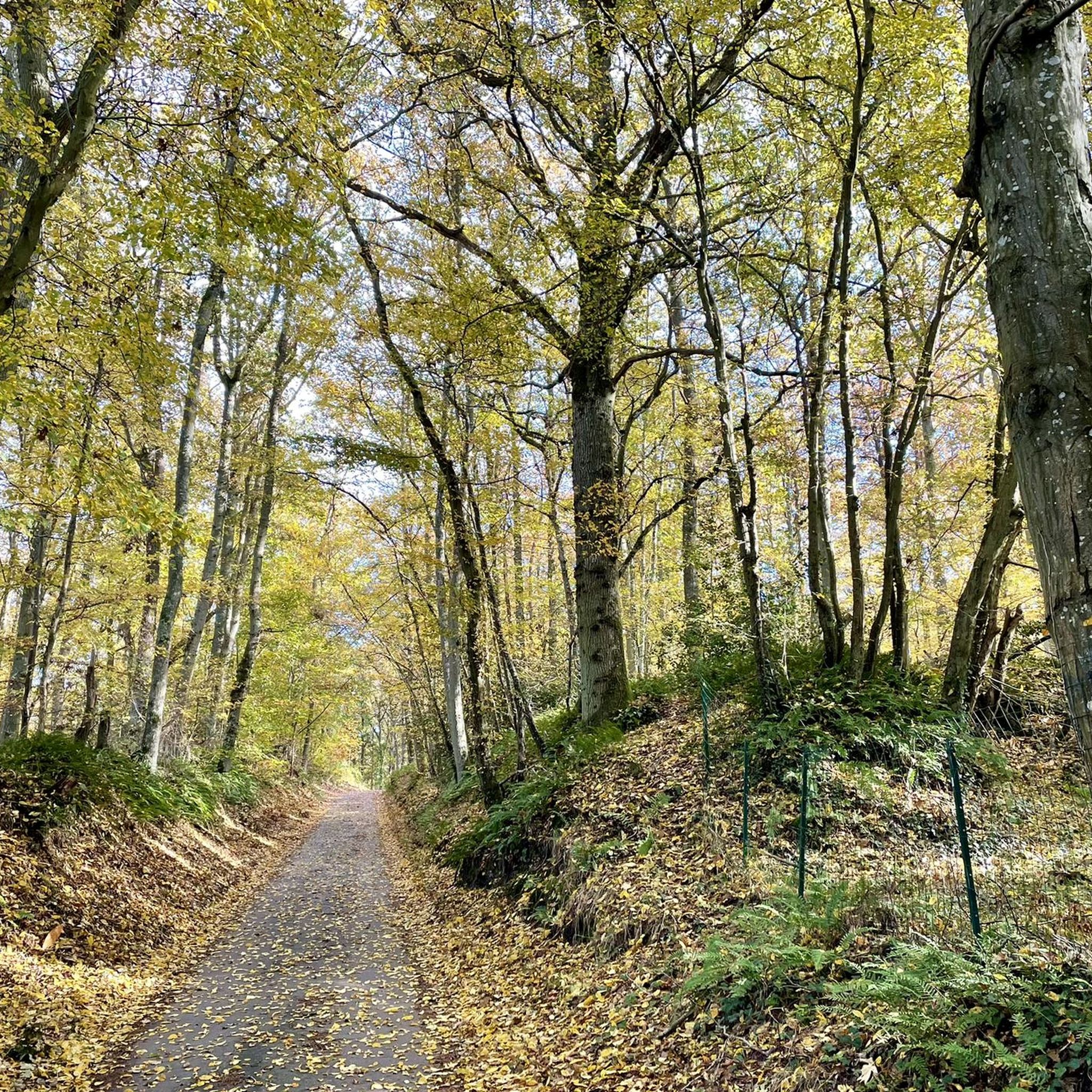
Hiking around Raizeux offers access to diverse natural landscapes, characterized by a mix of cultivated plateaus, wooded areas, and wet marshes. The region features sandstone heights, hillsides, and valley bottoms where the Guesle river flows. This varied terrain provides a range of environments for outdoor activities, including serene forest walks and paths alongside ponds.
Best hiking trails around Raizeux
- The most popular hiking route is L'étang Neuf – Les Rochers d’Angenne loop from Réserve biologique dirigée du Petit Étang Neuf…
Last updated: November 5, 2026
4.7
(48)
174
hikers
Moderate hike. Good fitness required. Easily walkable paths.
5.0
(1)
8
hikers
12.2km
03:16
150m
150m
Moderate hike. Good fitness required. Easily walkable paths.

4.0
(1)
9
hikers
7.43km
01:59
80m
80m
Easy hike. Easily walkable paths.
4.0
(3)
14
hikers
Moderate hike. Good fitness required. Easily walkable paths.
5.0
(2)
4
hikers
9.49km
02:28
70m
60m
Moderate hike. Good fitness required. Easily walkable paths.
Get access to more routes and recommendations from other explorers.
Already have an account?
Our route recommendations are based on thousands of hikes, rides, and runs completed by other people on komoot.
Start today with a free account
Your next adventure awaits.

Tips from the Community

more road and fields than forest areas but still nice
0
0


Ideal for a short walk with a bit of elevation gain to go through here 👈🏿
0
0
A charming little bridge that crosses the Drouette River and provides access from the village to a beautiful forest climb. Be careful in winter, as this section can be slippery!
0
0

Pretty church which is reached by a narrow staircase which climbs the hillside, passing next to a moving old cemetery (moss-covered tombs on a steep slope). On the way back to the centre of Emancé, don't miss the pretty town hall in pink pebbles, and the beautiful Michelin marker at the crossroads.
0
0

Very nice hilly area around this small pond.
0
0

If you’re in the area, don’t miss this beautiful Town Hall!
0
0

The church in Epernon was dedicated to Saint Peter (SAINT-PIERRE). Simon, nicknamed Peter (rock), was a fisherman on the Sea of Genesareth when he – together with his brother Andrew – was called by Jesus Christ to be the "fisher of men". According to Catholic understanding, he is the supreme apostle, and the two millennia-long line of popes – currently Francis – are his successors. On statues and paintings Peter is almost always depicted with two keys in his hand, this attribute refers to the Bible passage in Matthew: “I will give you the keys of the kingdom of heaven; what you bind on earth will be bound in heaven, and what you loose on earth will be loosed in heaven” (chapter 16, verse 19). Peter is also known along with Paul as the "Princes of the Apostles", their common feast day in the calendar of saints is June 29th.
1
0
Frequently Asked Questions
What types of landscapes can I expect to see while hiking in Raizeux?
Raizeux offers a diverse natural landscape, characterized by a mix of cultivated plateaus, dense wooded areas, and wet marshes. You'll find sandstone heights, hillsides, and tranquil valley bottoms where the Guesle river meanders alongside ponds. These varied environments provide opportunities for serene forest walks and paths with water features.
How many hiking trails are available in Raizeux?
There are over 160 hiking routes available in Raizeux, catering to various preferences and fitness levels. The local network boasts 35 km of public paths and trails, with dedicated guides for family hikes available at the town hall.
Are there easy hiking options suitable for beginners or families in Raizeux?
Yes, Raizeux has 71 easy hiking routes. An excellent option for a gentle walk is the Forest Path – La vanne des Bochets loop from Droue-sur-Drouette, which is 4.4 miles (7.1 km) long and leads through pleasant wooded areas.
What are the difficulty levels of hiking trails in Raizeux?
The trails in Raizeux range from easy to difficult. You'll find 71 easy routes, 87 moderate routes, and 11 more challenging options, ensuring there's something for every ability level.
Are there any circular hiking routes in Raizeux?
Yes, many routes in Raizeux are circular. For example, the L'étang Neuf – Les Rochers d’Angenne loop from Réserve biologique dirigée du Petit Étang Neuf is a moderate 4.9-mile (7.9 km) loop that navigates through varied landscapes including forests and ponds.
What interesting landmarks or natural features can I explore near Raizeux while hiking?
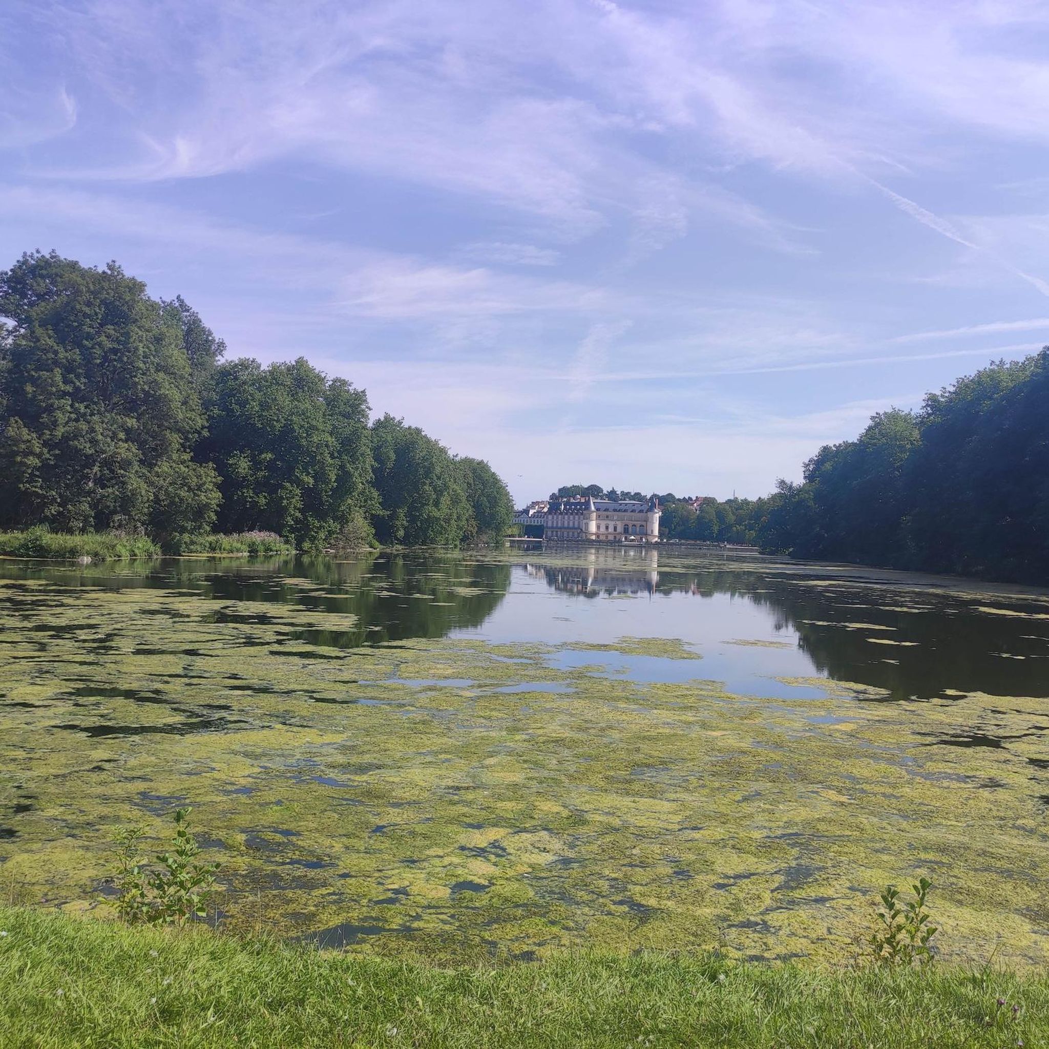
While hiking near Raizeux, you can discover several points of interest. The area is close to the Rompu Pond, and you might encounter historical sites like the Dolmens of Changé or the Dolmen de la Grenouille. The region's varied terrain also includes the Guesle river and sandstone heights.
What do other hikers say about the trails in Raizeux?
The trails in Raizeux are highly rated by the komoot community, with an average score of 4.4 stars from over 200 reviews. Hikers often praise the varied terrain, the tranquility of the woodlands, and the well-maintained paths that make exploring the region enjoyable.
Is Raizeux a good place for wildlife spotting?
With its diverse habitats, including forests, wet marshes, and the Guesle river, Raizeux provides a rich environment for various flora and fauna. Hikers often have opportunities for natural discovery, making it a good area for observing local wildlife.
Are there options for longer hikes in the Raizeux area?
While Raizeux itself offers routes up to 10.5 km, its proximity to the vast Forêt de Rambouillet (just 16km away) provides extensive opportunities for longer and more challenging hikes. The Saint Peter's Church, Épernon loop from Épernon is a moderate 7.5-mile (12.0 km) path within the immediate area, offering a longer excursion.
What is the best time of year to go hiking in Raizeux?
Raizeux is suitable for hiking throughout much of the year. The varied terrain, with its forests and cultivated plateaus, offers different charms in each season. Spring and autumn provide pleasant temperatures and beautiful foliage, while summer is ideal for enjoying the full greenery. Even in winter, the wooded areas can offer serene walks.
Is there public transport access to hiking trails in Raizeux?
Raizeux is a rural commune, and while specific public transport links directly to trailheads might be limited, it is located just 13km from Rambouillet, which is a larger hub. For detailed public transport information, it's advisable to check local transport schedules for connections to Raizeux.
Where can I find parking for hiking trails in Raizeux?
Given Raizeux's commitment to hiking, many trailheads or starting points within the commune and its hamlets likely offer local parking facilities. It's recommended to check specific route descriptions on komoot for details on parking availability at the start of your chosen hike.
Most popular attractions around Raizeux

Get inspired with the komoot mobile app


Explore more
Browse the best Hikes in other regions.
