The best walks and hikes around Arcinges
4.5
(103)
538
hikers
99
hikes
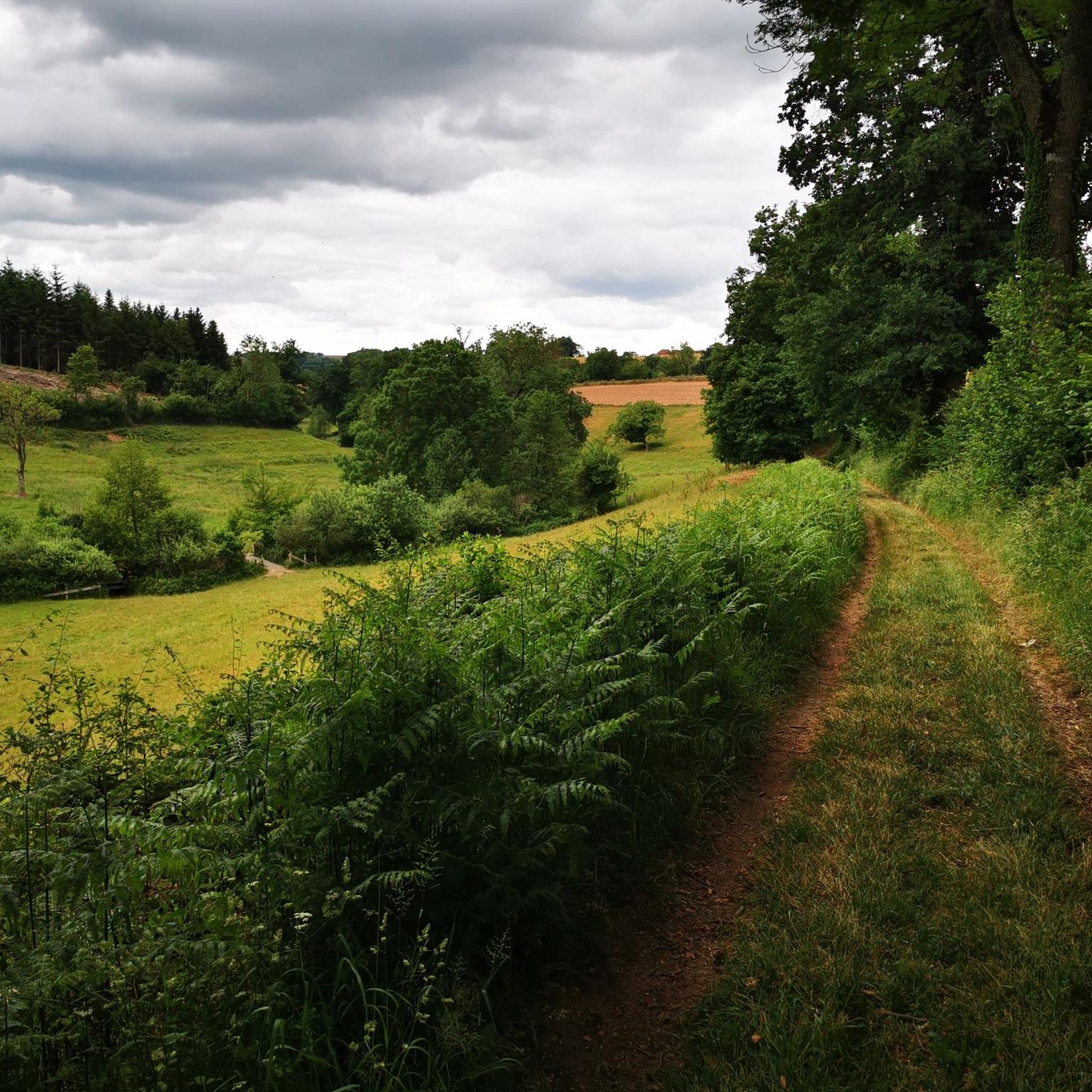
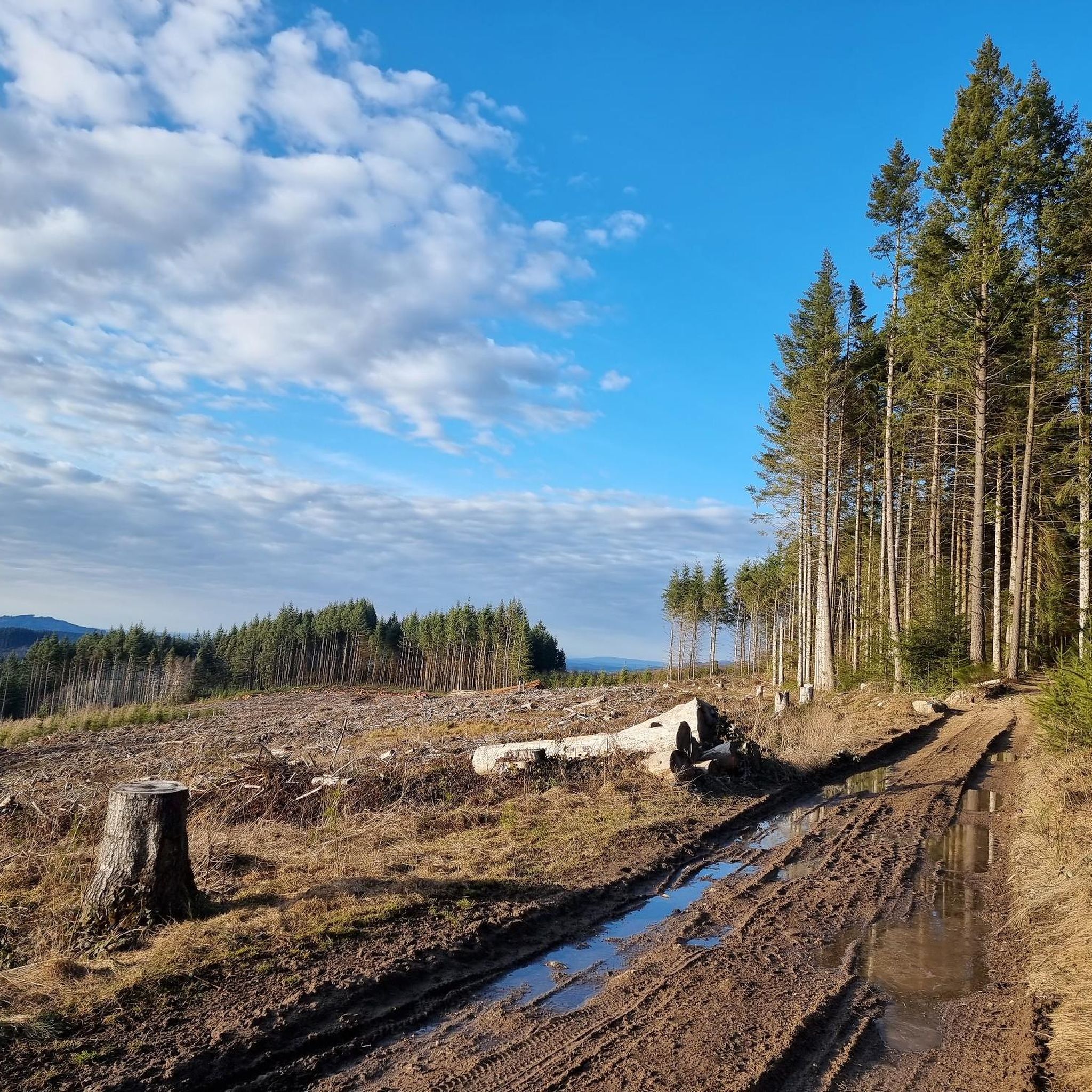
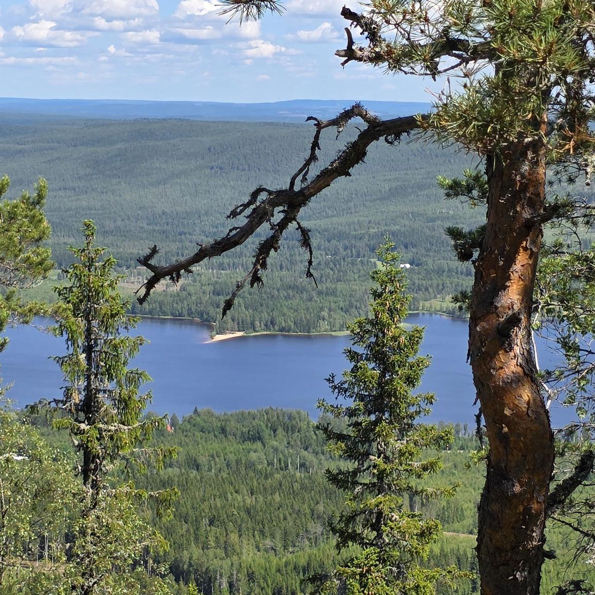
Hiking around Arcinges offers varied terrain, including wooded areas and open paths with views of the Beaujolais Vert region. The landscape is characterized by the presence of the Chandonnet river, providing riverside trails, and the Forêt de Foupeysson, which offers shaded paths. Trails often feature slight ascents and descents around points like Mont Pinay. The area provides a mix of natural beauty and historical elements.
Best hiking trails around Arcinges
- The most popular hiking route is Our Lady of Fatima…
Last updated: November 1, 2026
4.5
(2)
12
hikers
5.61km
01:37
140m
140m
Easy hike. Easily walkable paths.
4.0
(1)
3
hikers
5.19km
01:30
140m
140m
Easy hike. Easily walkable paths.

8
hikers
3.92km
01:09
110m
110m
Easy hike. Easily walkable paths.
5.0
(1)
10
hikers
20.1km
05:56
580m
580m
Hard hike. Very good fitness required. Easily walkable paths.
3.0
(1)
4
hikers
9.43km
02:46
260m
260m
Moderate hike. Good fitness required. Easily walkable paths.
Get access to more routes and recommendations from other explorers.
Already have an account?
Our route recommendations are based on thousands of hikes, rides, and runs completed by other people on komoot.
Start today with a free account
Your next adventure awaits.
Tips from the Community

Wonderful stage stop on my Camino https://huettemann.eu/de/2023/10/von-cluny-an-die-loire-berndscamino/
0
0


Difficult climb to La Chapelle du Calvaire, rest area with tables and benches once at the top
0
0


Point of view on the Roannaise coast
0
0

Carpe Diem! Seating, let alone rest areas, are few and far between and are usually only found in and around the villages along the way, but then more often.
7
0
It is really impressive how in almost every small town the fallen of the war are commemorated and how lovingly these memorials are cared for.
7
0
All the more valuable, since rest areas are really few and far between. And you can sit and pause on the two benches at the entrance
6
0
Frequently Asked Questions
How many hiking trails are available around Arcinges?
Arcinges offers a wide selection of routes, with over 80 hiking trails to explore. These range from easy strolls to more challenging treks, ensuring options for various fitness levels.
What kind of terrain and views can I expect on hikes in Arcinges?
Hikers in Arcinges will encounter diverse landscapes, including extensive wooded areas and open paths that provide scenic views of the Beaujolais Vert region. Many trails feature slight ascents and descents, particularly around Mont Pinay, offering varied perspectives of the natural surroundings.
Are there family-friendly hiking options in Arcinges?
Yes, Arcinges has several easy trails suitable for families. For example, the Eau potable – Église Saint-Paul Le Cerne loop from Le Cergne is a 2.4-mile (3.9 km) route with varied terrain, often completed in about 1 hour 10 minutes, making it a good choice for a shorter family outing.
Can I bring my dog on the hiking trails in Arcinges?
Many trails in Arcinges are suitable for dogs, especially those through the wooded areas like the Forêt de Foupeysson. It's always recommended to keep your dog on a leash, especially near livestock or in populated areas, and to check local regulations for specific routes.
Are there any circular hiking routes in Arcinges?
Yes, Arcinges features many circular routes. A popular easy option is the Picnic – Le Calvaire Chapel loop from Arcinges, a 3.3-mile (5.3 km) path that includes a visit to Le Calvaire Chapel, offering both natural beauty and a historical element.
What historical or cultural landmarks can I see while hiking in Arcinges?
Hiking in Arcinges often allows you to discover historical elements. Trails along the Chandonnet river reveal old wells, mills, and sawmills. Additionally, routes like the Our Lady of Fatima – Église Saint-Paul Le Cerne loop from Le Cergne connect cultural sites such as the Chapel of Fatima and Le Calvaire Chapel.
Are there any challenging hikes for experienced trekkers?
Yes, for more experienced hikers, there are challenging options available. The Le Calvaire Chapel – Église Saint-Paul Le Cerne loop from Cuinzier is a difficult 12.4-mile (20 km) trail with significant elevation gain, providing a substantial workout and rewarding views.
What is the best time of year to go hiking in Arcinges?
Arcinges offers pleasant hiking conditions throughout much of the year. Spring and autumn provide comfortable temperatures and beautiful scenery with changing foliage or blooming wildflowers. Summer is also suitable, especially in the shaded forest areas, while winter can offer crisp, quiet walks, though some paths might be muddy or icy.
Are there any trails with waterfalls in Arcinges?
The region around Arcinges is characterized by the Chandonnet river and its historical elements like mills, but specific trails featuring prominent waterfalls are not a primary highlight mentioned in the area's natural features.
What do other hikers say about the trails in Arcinges?
The hiking trails in Arcinges are highly regarded by the komoot community, holding an average rating of 4.5 out of 5 stars from nearly 60 reviews. Hikers often praise the varied terrain, the mix of wooded and open paths, and the blend of natural beauty with historical points of interest.
Where can I find parking for hiking trails in Arcinges?
Parking is generally available near the starting points of many trails in and around Arcinges and nearby villages like Le Cergne. Specific parking information is often detailed on individual route descriptions on komoot, or you can check local signage upon arrival.
Are there any moderate difficulty hikes for those looking for a bit more challenge?
Yes, there are several moderate trails. The Église Saint-Paul Le Cerne – Le Calvaire Chapel loop from Le Cergne is a good example, covering 5.8 miles (9.4 km) with moderate elevation changes, offering a more extended and engaging experience than the easy routes.
Most popular attractions around Arcinges

Get inspired with the komoot mobile app


Explore more
Browse the best Hikes in other regions.
