The best running trails around Grosrouvre
4.4
(117)
3,879
runners
346
runs
Jogging around Grosrouvre offers a diverse landscape characterized by a mix of woodlands, open fields, and serene pond areas. The region provides varied terrain suitable for different running preferences, from gentle paths around water bodies to more undulating routes through forested sections. These natural features create an engaging environment for running, with elevation changes typically remaining moderate, making it accessible for many.
Best jogging routes around Grosrouvre
- The most popular jogging route is Hollande Pond – Hollande Pond loop from…
Last updated: October 8, 2026
4.0
(2)
283
runners
16.4km
01:52
260m
260m
Hard run. Very good fitness required. Mostly paved surfaces. Suitable for all skill levels.
45
runners
14.3km
01:36
60m
60m
Moderate run. Good fitness required. Mostly paved surfaces. Suitable for all skill levels.

5.0
(1)
46
runners
10.8km
01:08
70m
70m
Moderate run. Good fitness required. Mostly paved surfaces. Suitable for all skill levels.
2.0
(1)
31
runners
16.2km
01:53
130m
130m
Hard run. Very good fitness required. Mostly paved surfaces. Suitable for all skill levels.
24
runners
27.9km
03:17
280m
280m
Hard run. Very good fitness required. Mostly paved surfaces. Suitable for all skill levels.
Get access to more routes and recommendations from other explorers.
Already have an account?
Our route recommendations are based on thousands of hikes, rides, and runs completed by other people on komoot.
Start today with a free account
Your next adventure awaits.


Tips from the Community

Nice spot when the weather is nice for a bike ride or a nice hike!
0
0

great race which alternates between dirt roads, small tarmac paths in the forest and around ponds
0
0

Wild... as long as the tourists aren't there.
0
0

Excellent for taking a break and recharging your batteries in front of a beautiful landscape, possibility of going for a swim within 10€
0
0

Bridge overlooking the Etang de Hollande in the Cheuvreuse
1
0

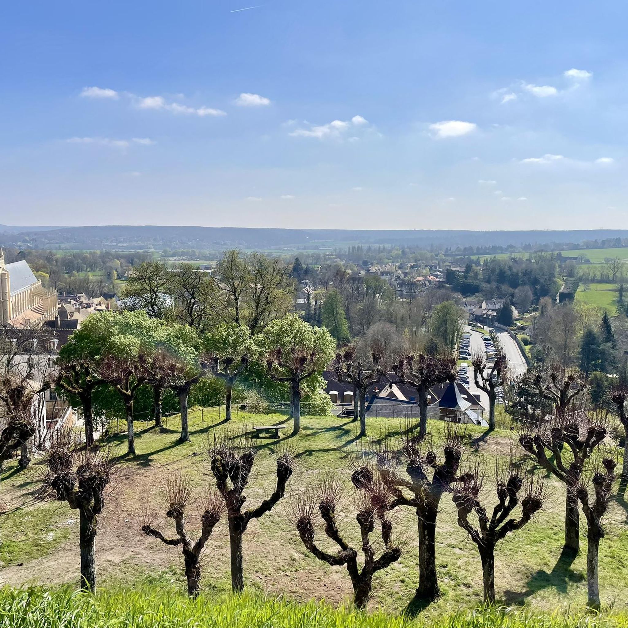
Historical documents attest to the construction of the first fortifications from the year 996 on the hill known as "Montfortis". The city then became the stronghold of the Montfort family and Amaury I had the ramparts built, of which some vestiges can still be seen. At the end of the 13th century, the county of Montfort joined the Duchy of Brittany following the marriage of Yolande de Montfort with Arthur II of Brittany for an allegiance that would last two centuries. During the Hundred Years War (1337-1453), the fortified castle was destroyed by the English and all that remains of the latter are the ruins of the keep, now called Tour Anne de Bretagne, because it was built under his reign. It can be seen when arriving in the city, and climbing this road which bypasses it. Once you have reached the top of the hill, you can take the small dirt road which starts from the intersection with the road to St Léger in order to go through the park to the foot of the keep, if the few hundred meters in gravel do not don't scare you. At the foot of the keep, being 183 meters above sea level, you can contemplate the panoramic view of the town and its surroundings. It is therefore easy to understand why this mound was an ideal place to establish a fortified castle. It is a perfect place for a break after climbing.
0
0

This tower was built in the 15th century by Anne de Bretagne, from whom it takes its name. This is the only remnant of the old castle. It offers a beautiful view of Montfort-l'Amaury. The Duchess of Brittany, who was also the Countess of Monfort, chose this location precisely to dominate the village.
0
0

Located at an altitude of 154 meters1, the pond covers an area of 0.8 hectares. The “Ponts-Quentin stream” flows into the Rompu pond — coming from the Holland ponds located about 1 km upstream to the east — and comes out to flow, about ten kilometers further to the west, in the Vesgre, having previously changed its name twice: first under the name of “Etang-Neuf stream” then under that of “Grapelin”. The Ponts-Quentin stream passes under departmental road 138 before flowing into the pond, which justifies the undulation of the road and its bend. The pond is part of the Rambouillet national forest, a private state domain. As such, its management is ensured by the National Forestry Office (ONF). Wikipedia
1
0
Frequently Asked Questions
What kind of terrain can I expect on the running trails around Grosrouvre?
The running trails in Grosrouvre offer a varied landscape, characterized by a mix of woodlands, open fields, and serene pond areas. You'll find paths ranging from gentle routes around water bodies to more undulating sections through forests. Elevation changes are generally moderate, making the area accessible for many runners.
Are there easy running routes suitable for beginners in Grosrouvre?
Yes, Grosrouvre offers a good selection of easy running routes. Out of nearly 300 trails, 23 are specifically rated as easy, providing gentle paths perfect for beginners or those looking for a relaxed jog. The region's generally moderate elevation changes also contribute to its beginner-friendly nature.
Are there any circular running routes in Grosrouvre?
Many of the running routes in Grosrouvre are designed as loops, offering convenient circular experiences. For example, the popular Hollande Pond – Hollande Pond loop from Montfort-l'Amaury is a great option, providing waterside views and varied terrain. Another excellent choice is the La Plaine Pond loop from Montfort-l'Amaury, which takes you through wooded areas and around the pond.
What are the typical distances and elevations for running routes in Grosrouvre?
Running routes in Grosrouvre vary in length and elevation. You can find shorter loops like the Running loop from La Queue-les-Yvelines, which is about 5.5 km with moderate elevation. Longer routes, such as the Carrefour de Bourdonné – Singletrack Above Gambaiseuil loop from Gambaiseuil, can extend to nearly 15 km with more significant elevation gains, offering a challenge for experienced runners.
What can I see along the running routes in Grosrouvre?
Grosrouvre's running routes often feature beautiful natural attractions. You'll frequently encounter serene ponds like Étang de Hollande, Rompu Pond, and Étang de Saint-Hubert. The area also boasts natural monuments such as the impressive Ascension Oak and the tranquil Ponts Quentin Stream, providing scenic points of interest during your run.
What do other runners enjoy most about jogging in Grosrouvre?
The komoot community highly rates the running experience in Grosrouvre, with an average score of 4.2 stars from over 80 reviews. Runners often praise the diverse terrain, including quiet woodlands and scenic pond areas, as well as the variety of paths suitable for different fitness levels. The engaging environment and well-maintained trails are frequently highlighted.
Are there any challenging running routes for experienced runners in Grosrouvre?
Yes, for those seeking a greater challenge, Grosrouvre offers several difficult running routes. For instance, the Étang de Hollande loop from Montfort-l'Amaury is rated as difficult, covering approximately 15.5 km with over 110 meters of elevation gain, providing a demanding workout amidst beautiful scenery.
What is the best time of year for running in Grosrouvre?
The diverse landscape of Grosrouvre makes it suitable for running throughout much of the year. Spring and autumn offer pleasant temperatures and vibrant scenery, with changing foliage in the woodlands. Summer is also enjoyable, especially on shaded trails. Winter running is possible, but conditions may vary, so checking local weather and trail reports is advisable.
How many running routes are available in the Grosrouvre area?
There are over 290 running routes available in the Grosrouvre area, catering to a wide range of preferences and fitness levels. This extensive network includes 23 easy routes, 223 moderate routes, and 48 difficult routes, ensuring there's always a new trail to explore.
Are there any specific routes that offer waterside views?
Absolutely! Grosrouvre is known for its serene pond areas, and many routes incorporate these features. The Hollande Pond – Hollande Pond loop from Montfort-l'Amaury is particularly renowned for its beautiful waterside views, offering a refreshing experience as you run alongside the pond.
What kind of natural features define the running experience in Grosrouvre?
The running experience in Grosrouvre is largely defined by its beautiful natural features, including numerous ponds, extensive woodlands, and varied singletrack paths. These elements combine to create an engaging environment, offering both tranquil waterside jogs and invigorating runs through forested sections.
Most popular routes around Grosrouvre
Most popular attractions around Grosrouvre

Get inspired with the komoot mobile app


Explore more
Browse the best Running Trails & Routes in other regions.
