The best running trails around Le Tartre-Gaudran
4.5
(19)
585
runners
115
runs
Jogging routes around Le Tartre-Gaudran traverse a rural landscape characterized by its proximity to the vast Forêt de Rambouillet, offering extensive woodland paths. The terrain is generally slightly hilly, particularly around areas like the "Buttes de Queue Noire," providing varied elevation for runners. This commune in the Yvelines department is surrounded by natural features, ensuring a tranquil environment for outdoor activities.
Best jogging routes around Le Tartre-Gaudran
- The most popular jogging route is La Maltorne loop from La Boissière-École,…
Last updated: June 27, 2026
7
runners
11.7km
01:14
110m
110m
Moderate run. Good fitness required. Mostly paved surfaces. Suitable for all skill levels.
5
runners
7.35km
00:46
60m
60m
Moderate run. Good fitness required. Mostly paved surfaces. Suitable for all skill levels.

Sign up for free
7
runners
5.91km
00:37
40m
40m
Moderate run. Good fitness required. Mostly paved surfaces. Suitable for all skill levels.
4
runners
4.95km
00:31
30m
30m
Easy run. Great for any fitness level. Mostly paved surfaces. Suitable for all skill levels.
3
runners
6.17km
00:45
50m
50m
Moderate run. Good fitness required. Mostly paved surfaces. Suitable for all skill levels.
Get access to more routes and recommendations from other explorers.
Sign up for free
Already have an account?
Our route recommendations are based on thousands of hikes, rides, and runs completed by other people on komoot.
Start today with a free account
Your next adventure awaits.
Login or Signup



Tips from the Community

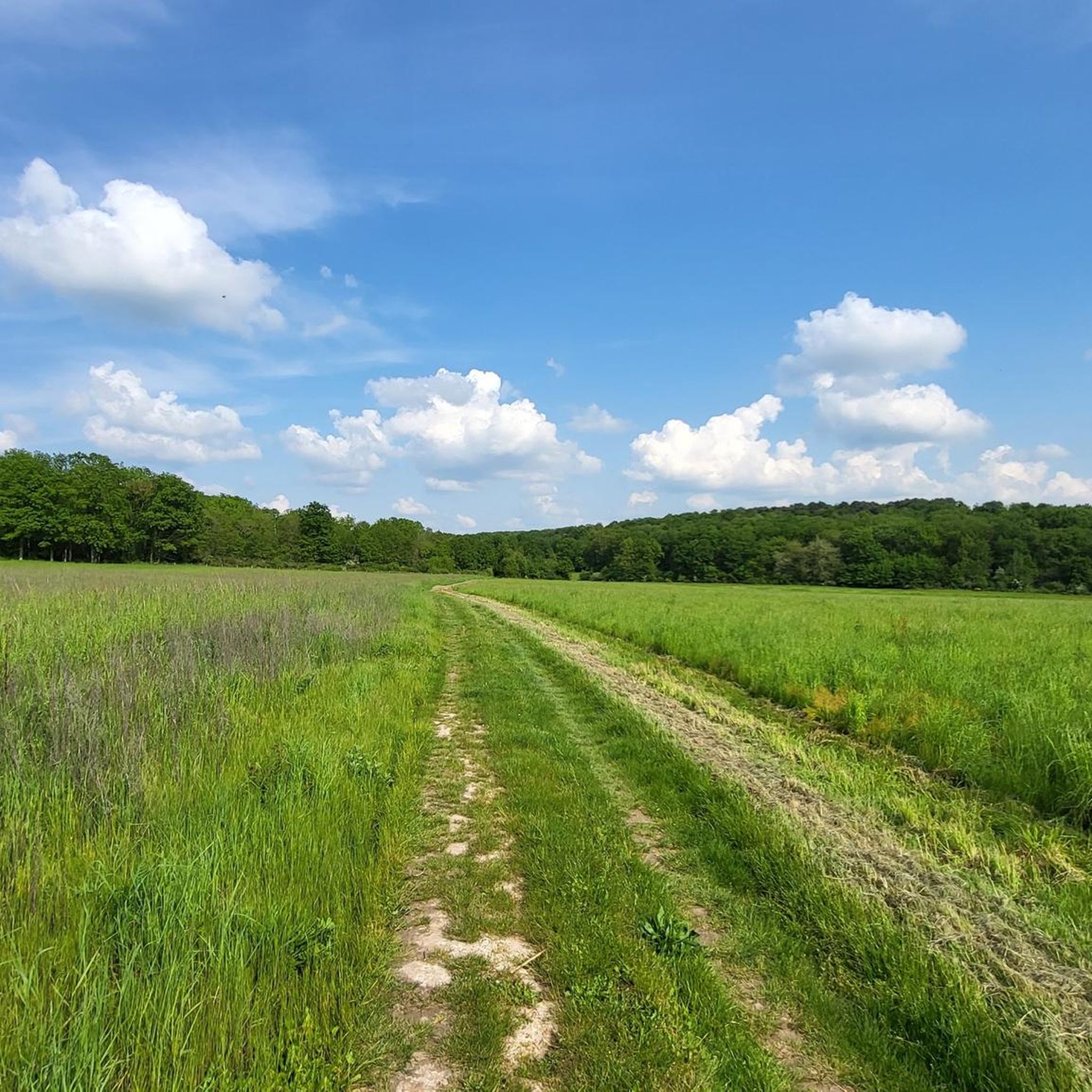
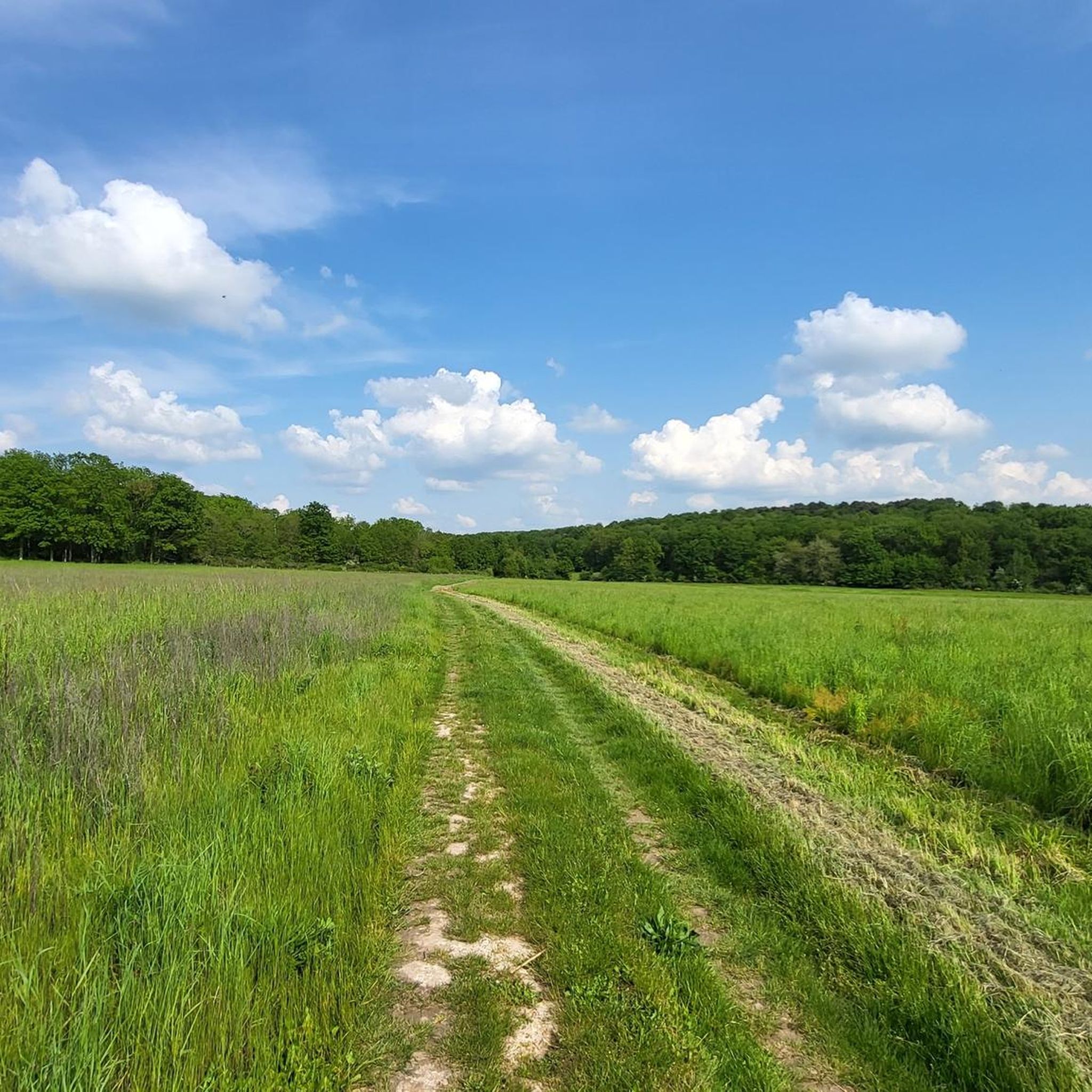
Very peaceful village and rolling countryside landscape
0
0

On the borders of Yvelines is Tartre Gaudran, the smallest town in Île de France with its 36 inhabitants (according to the 2018 census) and at least as many horses. Logically, the town hall is also one of the smallest there is ... and there is talk of horse problems.
2
1
Frequently Asked Questions
How many running routes are available around Le Tartre-Gaudran?
There are over 100 running routes around Le Tartre-Gaudran, offering a wide variety of options for different preferences and fitness levels. The komoot community has explored these routes extensively, with more than 500 runners using komoot to discover the area.
What kind of terrain can I expect on the running routes near Le Tartre-Gaudran?
The running routes in Le Tartre-Gaudran primarily traverse a rural landscape, with significant sections within the vast Forêt de Rambouillet. You can expect extensive woodland paths and a generally slightly hilly terrain, particularly around areas like the "Buttes de Queue Noire." This provides a varied and engaging experience for runners.
What do other runners say about the routes in Le Tartre-Gaudran?
The routes in Le Tartre-Gaudran are highly rated by the komoot community, with an average score of 4.4 stars from nearly 20 reviews. Runners often praise the tranquil rural environment, the extensive forest paths, and the varied terrain that offers options for different ability levels.
Are there running routes suitable for beginners or those looking for an easier run?
Yes, among the over 100 routes, there are 8 routes classified as easy. These paths are generally shorter and have less elevation gain, making them ideal for beginners or those seeking a more relaxed run. While most routes are moderate, you can find suitable options for a gentler experience.
Are there any challenging running routes in the Le Tartre-Gaudran area?
For runners seeking a challenge, there are 13 routes classified as difficult. These typically feature more significant elevation changes or longer distances. For instance, the La Maltorne loop from La Boissière-École is a moderate 7.3-mile (11.7 km) trail with over 100 meters of elevation gain, winding through countryside and forested sections, offering a good workout.
Are there circular running routes available around Le Tartre-Gaudran?
Yes, many of the running paths around Le Tartre-Gaudran are designed as circular routes, allowing you to start and finish at the same point. For example, the Le Tartre Gaudran loop from Le Tartre-Gaudran is a 3.6-mile (5.8 km) trail that takes you through the commune's rural environment and brings you back to your starting point.
What natural features or landmarks can I see along the running routes?
The routes often pass through the scenic Forêt de Rambouillet and the slightly hilly "Buttes de Queue Noire." While running, you might encounter historical sites like the Château de Mormoulins or the Donjon of Houdan. Some routes, like the Château de la Boissière loop from La Hauteville, offer views of the historic Château de la Boissière itself.
Are there any running routes that are particularly scenic or offer good viewpoints?
The entire region is known for its natural beauty, especially within the Forêt de Rambouillet and the "Buttes de Queue Noire" area, which features a slightly hilly landscape. These areas provide picturesque settings for your run. While specific viewpoints aren't detailed for every route, the rural and forested environment ensures a tranquil and scenic backdrop throughout.
Is public transport available to access the running trails in Le Tartre-Gaudran?
Le Tartre-Gaudran is a small, rural commune. While specific public transport links directly to trailheads might be limited, the region is accessible. It's advisable to check local bus schedules or consider driving to access the starting points of the running routes, especially those deeper within the Forêt de Rambouillet.
Are there parking facilities near the running routes?
Given the rural nature of Le Tartre-Gaudran and its proximity to the Forêt de Rambouillet, you can typically find parking near the starting points of many routes, particularly in the villages like Le Tartre-Gaudran, La Boissière-École, or La Hauteville. However, specific parking details for each individual trailhead may vary.
Can I find long-distance running options in the area?
Yes, the vast Forêt de Rambouillet, which borders Le Tartre-Gaudran, offers an extensive network of paths and trails suitable for longer runs. While individual routes listed might be shorter, the interconnectedness of the forest allows for extended exploration and combining paths for a longer distance if desired.
Are there any specific trails that are good for a family run?
While specific 'family-friendly' designations aren't provided, the 8 easy routes available would be the most suitable for families, especially those with younger children or strollers. These routes typically have less elevation and are shorter in distance, providing a more manageable experience for everyone. The tranquil, forested environment is generally pleasant for family outings.
Most popular routes around Le Tartre-Gaudran
Most popular attractions around Le Tartre-Gaudran

Get inspired with the komoot mobile app


Explore more
Browse the best Running Trails & Routes in other regions.
