The best walks and hikes around Le Clerjus
4.2
(287)
1,379
hikers
100
hikes
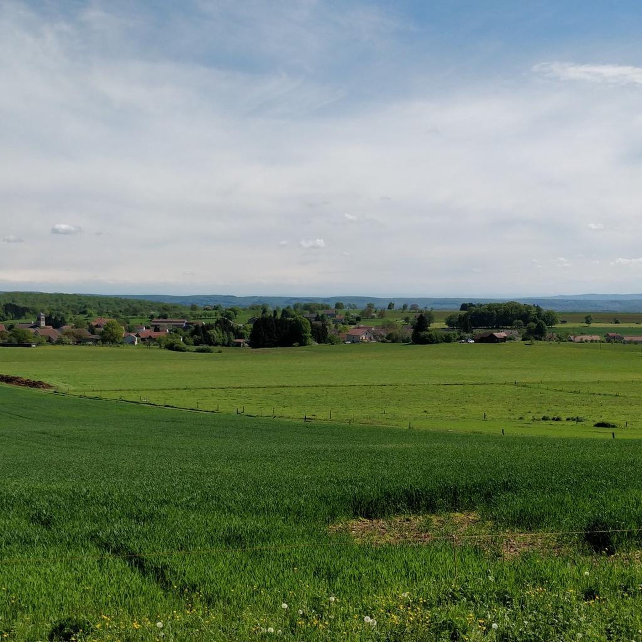
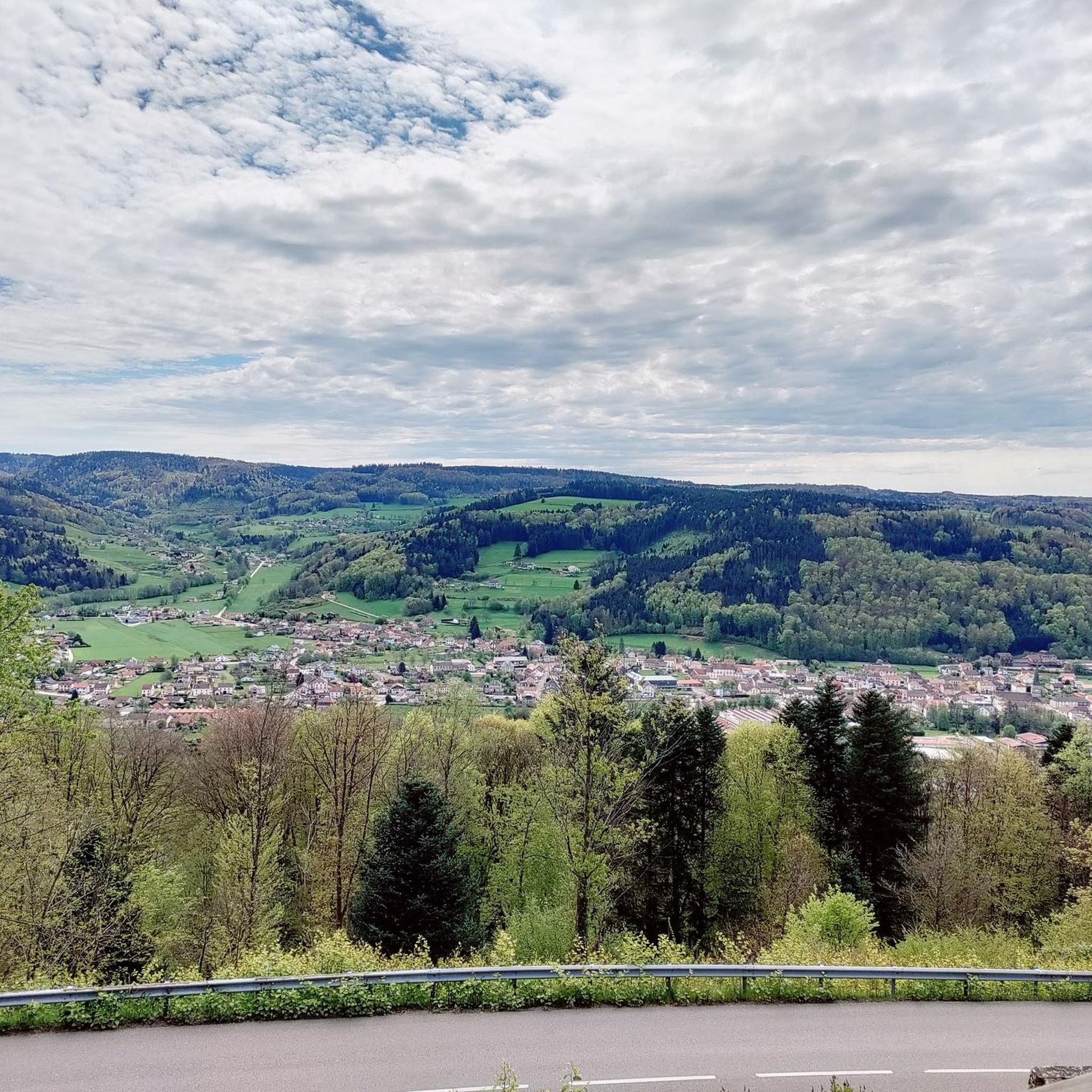
Hiking around Le Clerjus offers a network of trails through varied terrain. The region is characterized by its numerous lakes, such as Étang de la Ruinée and Étang Lallemand, and features natural attractions like the Gué du Saut Waterfall. Forested areas and rolling hills define much of the landscape, providing diverse environments for outdoor exploration.
Best hiking trails around Le Clerjus
- The most popular hiking route is Étang de la Ruinée loop from Bains-les-Bains, a 5.8 miles (9.3 km)…
Last updated: July 9, 2026
4.3
(8)
35
hikers
9.14km
02:34
180m
180m
Moderate hike. Good fitness required. Easily-accessible paths. Suitable for all skill levels.
4.7
(3)
26
hikers
9.49km
02:35
130m
130m
Moderate hike. Good fitness required. Easily-accessible paths. Suitable for all skill levels.

Sign up for free
4.6
(5)
10
hikers
15.3km
04:12
240m
240m
Moderate hike. Good fitness required. Easily-accessible paths. Suitable for all skill levels.
4.8
(4)
18
hikers
9.69km
02:37
130m
130m
Moderate hike. Good fitness required. Easily-accessible paths. Suitable for all skill levels.
4.6
(5)
10
hikers
Moderate hike. Good fitness required. Easily-accessible paths. Suitable for all skill levels.
Get access to more routes and recommendations from other explorers.
Sign up for free
Already have an account?
Our route recommendations are based on thousands of hikes, rides, and runs completed by other people on komoot.
Start today with a free account
Your next adventure awaits.
Login or Signup



Tips from the Community

The turnaround point after crossing the road is a very narrow and overgrown path. I wouldn't recommend walking this path in rain or after long periods of rain.
0
0

inconspicuous spring with various inscriptions and a bust of the composer Hector Berlioz
0
0

Pretty waterfall in peace and shade. You will have to get off your bike to enjoy the picnic tables located below the road.
1
0

Somehow Komoot doesn't know many of the trails of this trek. It is an official circle, well marked with black O rings.
1
0
A charming little church, restored in 1985. More information: https://www.pop.culture.gouv.fr/notice/merimee/IA88000542
0
0
Frequently Asked Questions
How many hiking trails are available around Le Clerjus?
There are nearly 100 hiking trails around Le Clerjus. This includes 42 easy routes, 48 moderate routes, and 5 more challenging options, offering a wide variety for all skill levels.
Are there easy hiking trails suitable for beginners or families in Le Clerjus?
Yes, Le Clerjus offers 42 easy hiking routes, many of which are suitable for beginners and families. These trails often feature gentle terrain around lakes and through forests, providing a pleasant outdoor experience. A good example is the Étang de la Ruinée loop from Bains-les-Bains, which is a moderate 5.8-mile (9.3 km) trail that is generally accessible.
Are there any circular hiking routes in Le Clerjus?
Many of the trails around Le Clerjus are circular, allowing you to start and end at the same point. Popular options include the Étang Lallemand loop from Bains-les-Bains, which is 6.0 miles (9.7 km) long, and the Gué du Saut Waterfall loop from Xertigny, a 9.3-mile (14.9 km) moderate route.
Can I hike with my dog in Le Clerjus?
Yes, many trails in Le Clerjus are dog-friendly, allowing you to enjoy the natural beauty with your canine companion. It's always recommended to keep dogs on a leash, especially in forested areas or near wildlife, and to check for any specific local regulations on individual routes.
Are there any waterfalls to see on the hiking trails?
Yes, the region is home to the notable Gué du Saut Waterfall. You can experience this natural attraction on routes such as the Gué du Saut Waterfall loop from Xertigny, which is a 9.3-mile (14.9 km) moderate hike through forested areas.
What are the best seasons for hiking in Le Clerjus?
Spring, summer, and autumn are generally the best seasons for hiking in Le Clerjus. Spring brings blooming flora, summer offers warm weather for lakeside walks, and autumn showcases vibrant fall foliage. While winter hiking is possible, be prepared for colder temperatures and potentially icy or snowy conditions, especially on less-maintained paths.
What interesting landmarks or attractions can I explore near the hiking trails?
Beyond the trails, you can explore several interesting sites. These include the historic The Royal Factory of Bains-les-Bains, the serene Planey Spring, and the architectural Saint-Amé-et-Saint-Blaise Church. These attractions offer a glimpse into the region's history and natural beauty.
Is public transport available to access hiking trailheads in Le Clerjus?
Public transport options directly to specific trailheads in Le Clerjus can be limited. It is often more convenient to reach the starting points by car. However, some routes may be accessible from nearby towns that have bus services. We recommend checking local bus schedules for Bains-les-Bains or Xertigny if you plan to rely on public transport.
Where can I find parking for hiking trails in Le Clerjus?
Parking is generally available near popular trailheads and in the villages surrounding Le Clerjus, such as Bains-les-Bains and Xertigny. Many routes, especially those starting from lakes or specific attractions, will have designated parking areas. Always look for local signage for parking information.
What do other hikers enjoy most about hiking in Le Clerjus?
The area is highly rated by the komoot community, with an average score of 4.2 stars from over 270 reviews. Reviewers often praise the quiet woodlands, the scenic beauty of the lakes like Étang de la Ruinée and Étang Lallemand, and the well-marked paths that make for enjoyable and accessible hiking experiences.
Are there any less crowded hiking trails in Le Clerjus?
While popular routes like the Étang de la Ruinée loop can see more visitors, Le Clerjus has nearly 100 trails, offering many opportunities to find quieter paths. Exploring some of the less-known forest trails or hiking during off-peak hours (early morning or late afternoon) can provide a more solitary experience.
Are there cafes or restaurants near the hiking paths in Le Clerjus?
You'll find cafes and restaurants in the main towns and villages surrounding Le Clerjus, such as Bains-les-Bains and Xertigny. While direct access to cafes on the trails themselves is rare, many routes start or pass through areas where you can find refreshments before or after your hike.
Most popular routes around Le Clerjus
Most popular attractions around Le Clerjus

Get inspired with the komoot mobile app


Explore more
Browse the best Hikes in other regions.
