The best MTB trails around Luriecq
4.4
(264)
1,420
riders
179
rides
Mountain biking around Luriecq is characterized by a mountainous topography with significant elevation changes, ranging from 477 meters to 1101 meters. The landscape features extensive forests covering 42% of the commune, alongside pastures and varied agricultural zones. Volcanic peaks, locally known as "sucs," such as Suc du Châtelard, Suc Gros, and Suc de Montpéroux, contribute to the dramatic scenery and offer elevated viewpoints. The diverse terrain includes rocky, stony, ground, and grit surfaces, providing a variety of riding experiences.
Best…
Last updated: July 1, 2026
4.3
(4)
41
riders
Hard mountain bike ride. Very good fitness required. Suitable for all skill levels.
3.6
(8)
21
riders
23.0km
01:59
300m
300m
Easy mountain bike ride. Great for any fitness level. Suitable for all skill levels.

Sign up for free
5.0
(4)
7
riders
31.2km
02:37
600m
590m
Moderate mountain bike ride. Good fitness required. Advanced riding skills necessary.
5.0
(1)
5
riders
33.5km
03:16
820m
820m
Moderate mountain bike ride. Good fitness required. Advanced riding skills necessary.
5.0
(2)
7
riders
Moderate mountain bike ride. Good fitness required. Suitable for all skill levels.
Get access to more routes and recommendations from other explorers.
Sign up for free
Already have an account?
Our route recommendations are based on thousands of hikes, rides, and runs completed by other people on komoot.
Start today with a free account
Your next adventure awaits.
Login or Signup

Tips from the Community

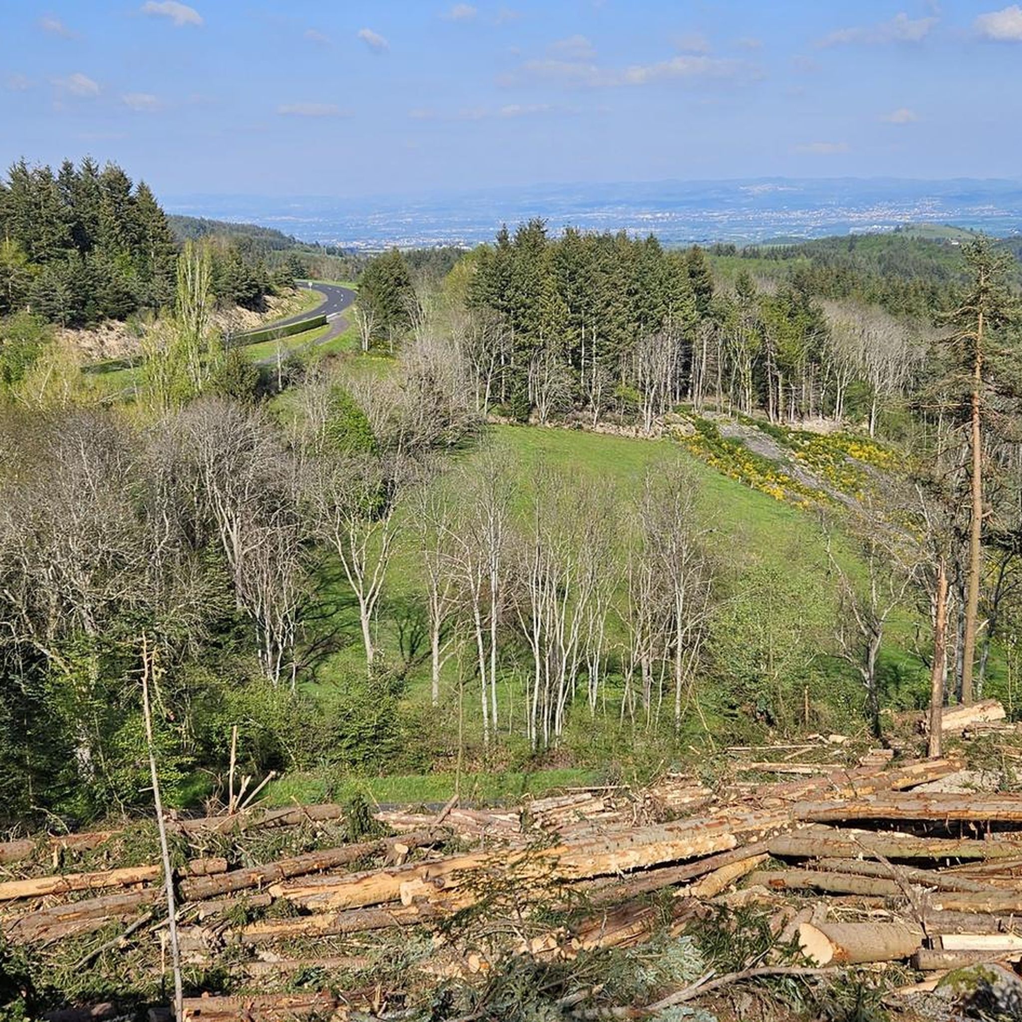
Former St-Marcellin / Estivareilles railway line. Average gradient 2%
0
0

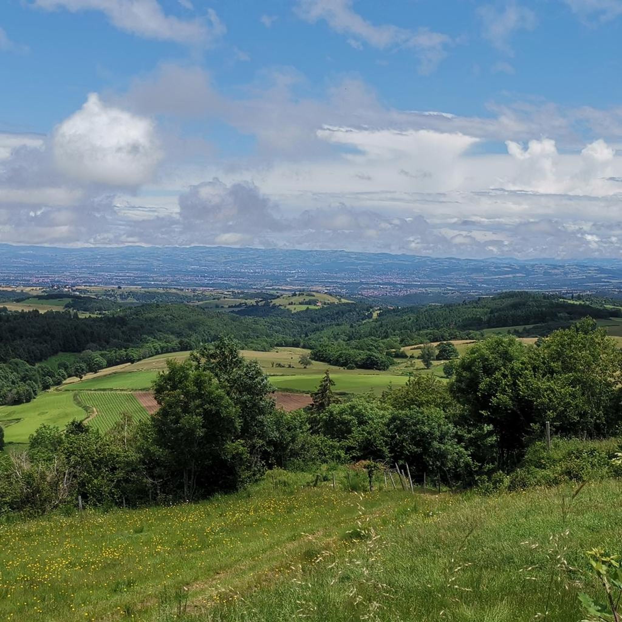
From Montarcher you have a breathtaking view of the Loire Valley all the way to the Alps
0
0

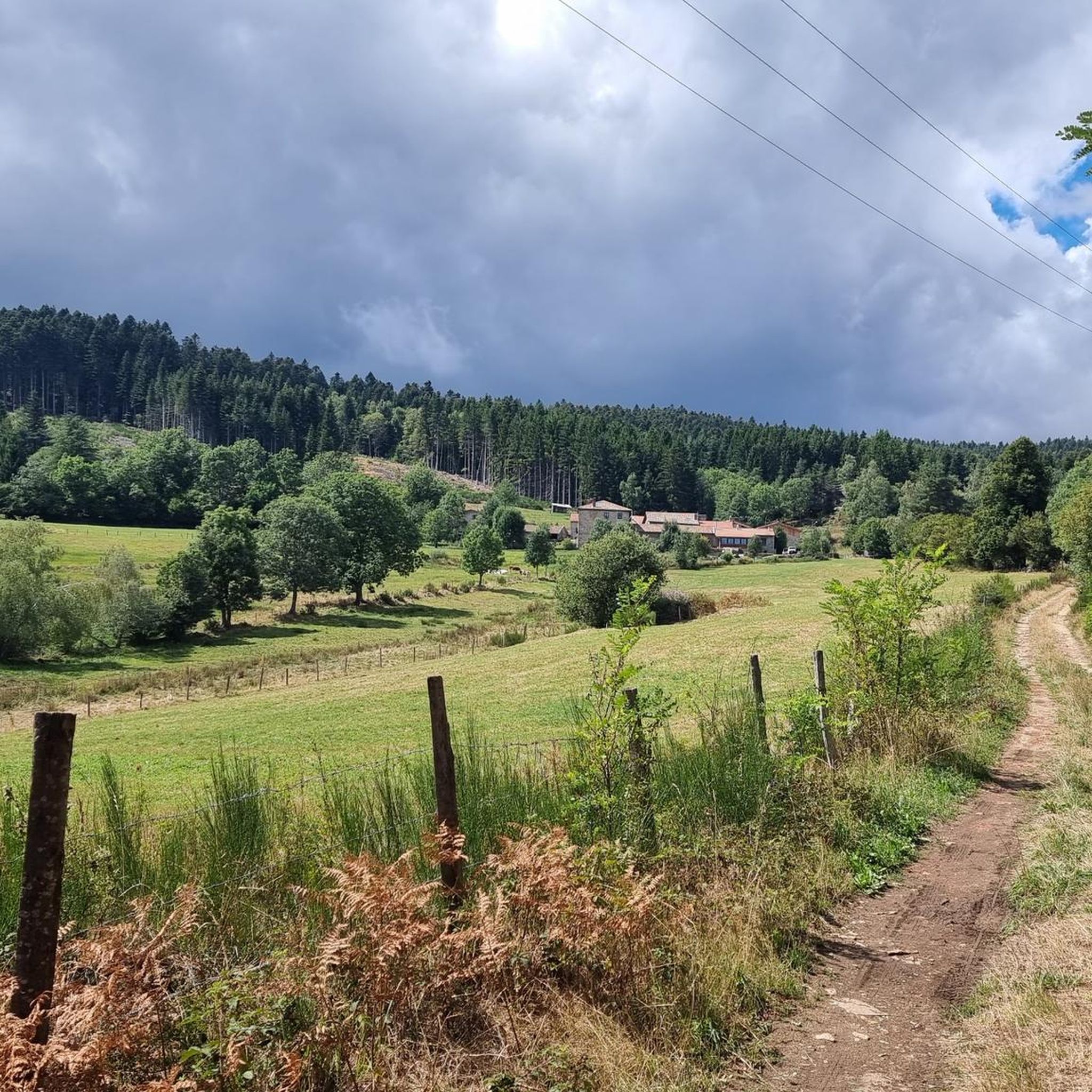
Bezan is a pleasant little lake, lined with walking paths which invite you to discover its history. Among other things, a pitch oven is open to the public and allows you to better understand how pitch was used to polish ropes and laces, but also to caulk barrels, boats and houses.
0
0


Montarcher, a small town in the heart of southern Haut-Forez, perched at 1162 meters, offers an exceptional panorama over the Velay and the Forez. Registered site, Montarcher is classified "Village of character" and has a remarkable heritage.
4
0

beautiful course even if sometimes we get lost
0
0


On a clear day, there is a fantastic view from up here.
8
0
Frequently Asked Questions
How many mountain bike trails are available around Luriecq?
There are over 170 mountain bike trails around Luriecq. These routes cater to various skill levels, with nearly 30 easy trails, over 120 moderate options, and 20 difficult routes for experienced riders.
What kind of terrain can I expect on mountain bike trails in Luriecq?
The terrain around Luriecq is diverse, characterized by a mountainous topography with significant elevation changes. You'll encounter extensive forests, pastures, and varied agricultural zones. The trails feature a mix of rocky, stony, ground, and grit surfaces, providing a stimulating and varied riding experience.
Are there any easy mountain bike trails suitable for beginners or families in Luriecq?
Yes, Luriecq offers nearly 30 easy mountain bike trails. An excellent option for a less challenging ride is the Roche-Cubertelle Dolmen – The green lane and the dolmen loop from Sommeriecq, which is 22.9 km long and typically takes under 2 hours to complete.
What are some notable natural features or viewpoints I can see while mountain biking in Luriecq?
Luriecq's landscape is rich with natural features, including several volcanic peaks known as "sucs," such as Suc du Châtelard, Suc Gros, and Suc de Montpéroux. These formations offer elevated viewpoints and dramatic scenery. The area also features extensive forests, covering 42% of the commune, providing beautiful wooded trails.
Are there any historical or cultural landmarks near the mountain bike trails in Luriecq?
Yes, the region around Luriecq has several interesting landmarks. You can explore the rare megalithic dolmen, Pierre Cubertelle, which is near routes like the Roche-Cubertelle Dolmen – The green lane and the dolmen loop from Chenereilles. Other nearby points of interest include the charming settlements of Montarcher and St Bonnet-le-Château, and the historic Saint-Thomas Church.
What do other mountain bikers say about the trails in Luriecq?
The mountain bike routes in Luriecq are highly rated by the komoot community, with an average score of 4.4 stars from over 280 reviews. Over 1400 mountain bikers have used komoot to explore the varied terrain, often praising the diverse landscapes and well-maintained paths.
Are there any circular mountain bike routes around Luriecq?
Many of the mountain bike trails around Luriecq are designed as loops. For example, the The green lane and the dolmen – Roche-Cubertelle Dolmen loop from Luriecq is a moderate 31.2 km circular route that takes about 2 hours 36 minutes to complete, offering varied terrain.
What is a good moderate mountain bike trail for an intermediate rider?
For intermediate riders, the La sambonitaine – Tour of Saint-Bonnet loop from Saint-Bonnet-le-Château is a popular choice. This moderate 34.9 km path offers scenic views of the surrounding countryside and forests, typically taking around 3 hours 12 minutes.
Are there any challenging mountain bike trails for advanced riders?
Yes, Luriecq offers 20 difficult mountain bike trails for advanced riders seeking a challenge. These routes often feature significant elevation changes and more technical terrain, capitalizing on the region's mountainous topography.
Can I find mountain bike routes that offer extensive views?
Absolutely. The volcanic peaks, or "sucs," such as Suc du Châtelard, Suc Gros, and Suc de Montpéroux, provide excellent elevated viewpoints. A route like the Tour of Saint-Bonnet – View of the Montarcher Valley loop from Taillefer is a moderate 33.5 km trail that offers expansive views, including those of the Montarcher Valley.
Most popular attractions around Luriecq

Get inspired with the komoot mobile app


Explore more
Browse the best MTB trails in other regions.
