The best running trails around La Faurie
4.3
(19)
745
runners
74
runs
Jogging routes around La Faurie are set within the mountainous Hautes-Alpes department of southeastern France, offering diverse terrain for runners. The region features elevations ranging from 780 to over 2,000 meters, providing varied paths from forest tracks to trails along ridges. Significant portions of the land are covered by forests and semi-natural environments, alongside waterways like the Buëch river. This landscape provides a mix of challenging climbs and more gentle trails.
Best jogging routes around La Faurie
- The most popular…
Last updated: July 1, 2026
4.0
(2)
114
runners
9.71km
01:01
60m
60m
Moderate run. Good fitness required. Mostly paved surfaces. Suitable for all skill levels.
4.7
(3)
39
runners
9.66km
01:18
300m
300m
Hard run. Very good fitness required. Mostly accessible paths. Some sure footedness required.

Sign up for free
5.0
(1)
40
runners
12.6km
01:31
230m
230m
Moderate run. Good fitness required. Mostly accessible paths. Some sure footedness required.
5.0
(2)
29
runners
7.30km
00:58
200m
200m
Moderate run. Good fitness required. Mostly accessible paths. Some sure footedness required.
3.0
(2)
20
runners
5.52km
00:42
170m
170m
Moderate run. Good fitness required. Mostly accessible paths. Some sure footedness required.
Get access to more routes and recommendations from other explorers.
Sign up for free
Already have an account?
Our route recommendations are based on thousands of hikes, rides, and runs completed by other people on komoot.
Start today with a free account
Your next adventure awaits.
Login or Signup
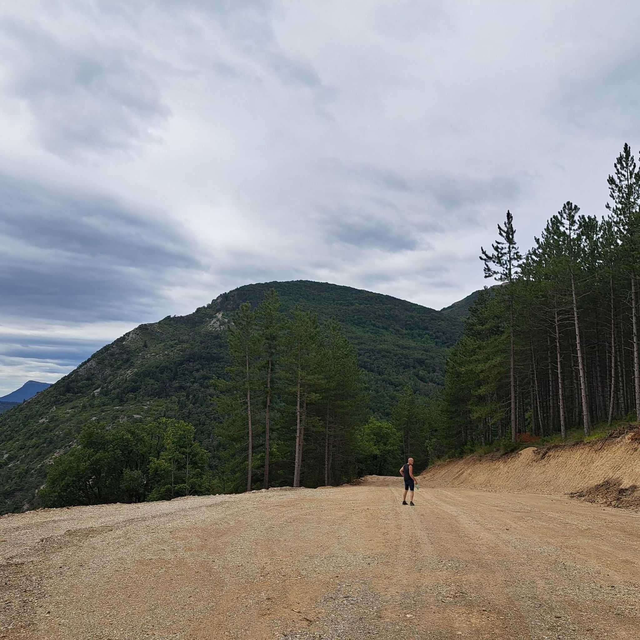
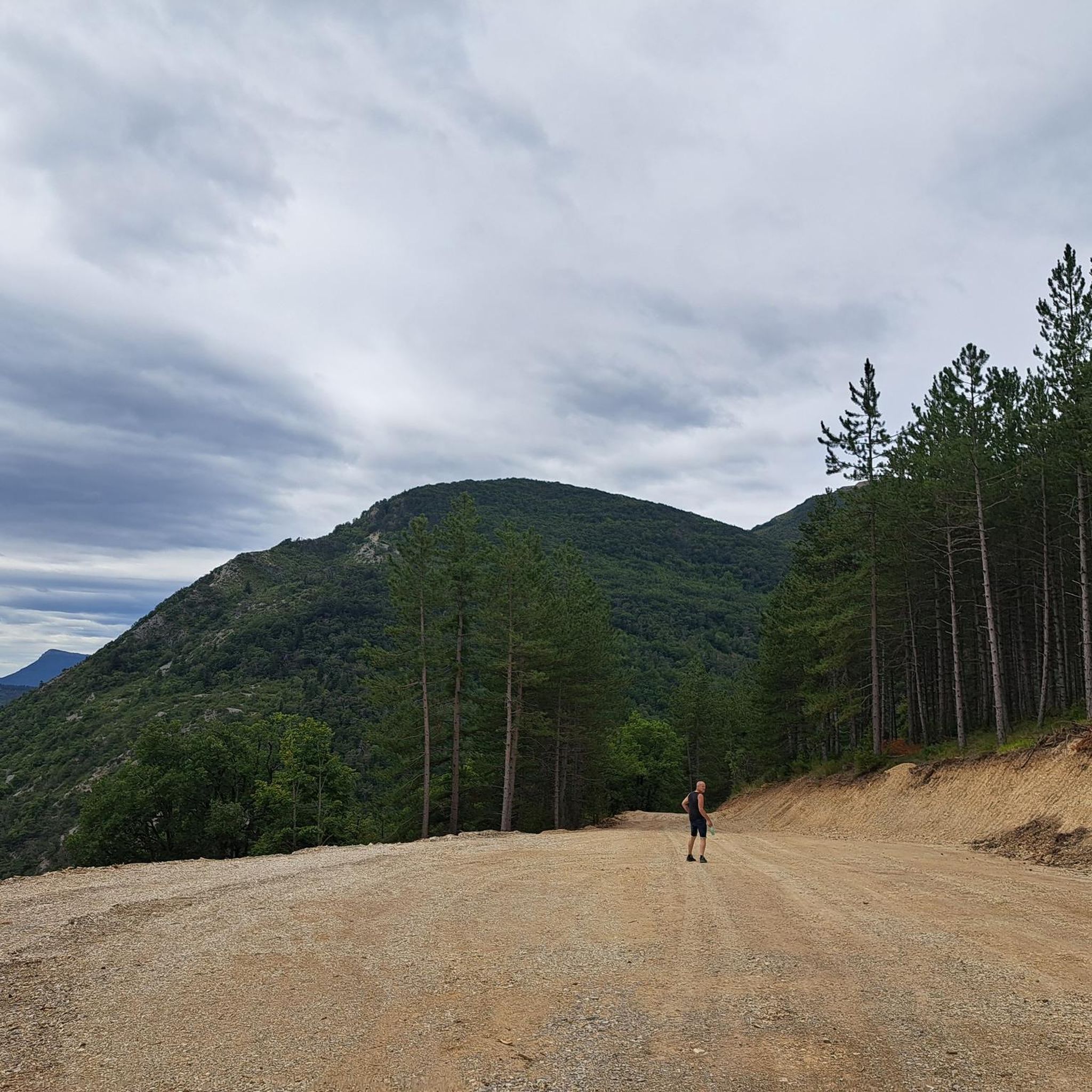
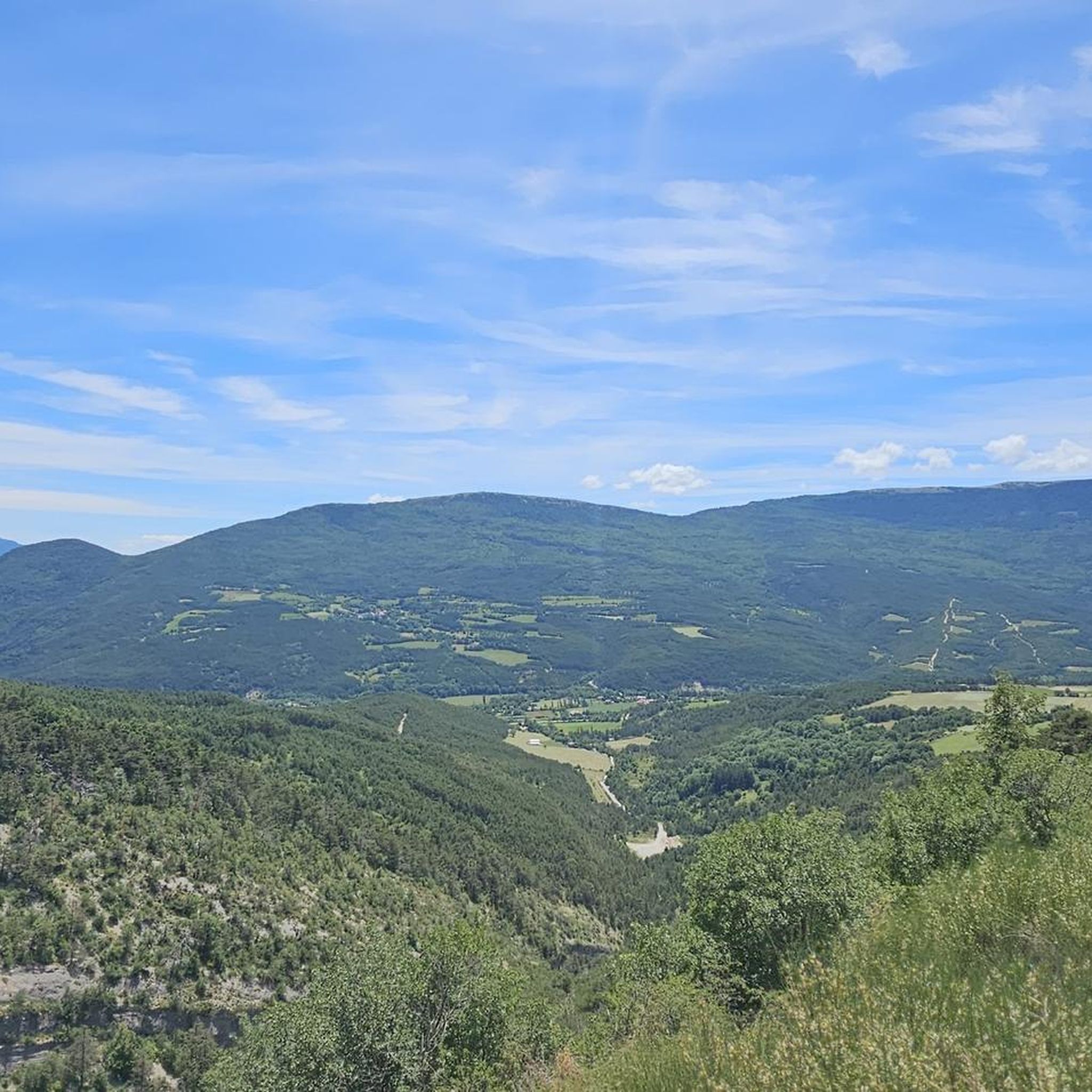
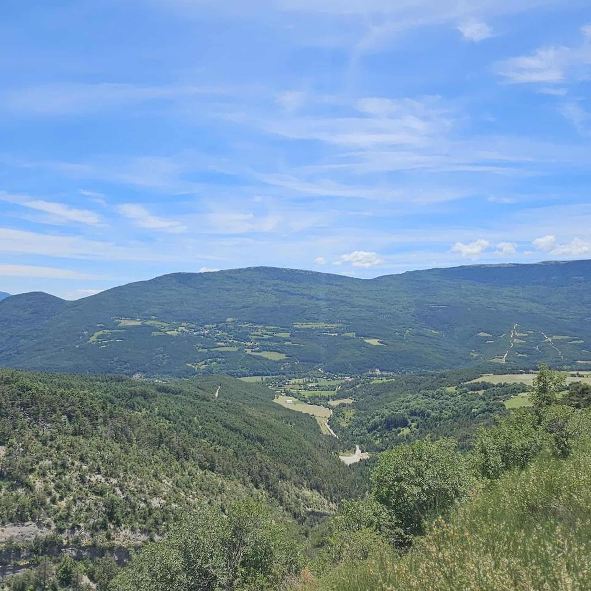

Tips from the Community

"Saint-Marcellin" is a common name for several small villages in France, but in the regions of Alpes-de-Haute-Provence and Hautes-Alpes (near you) it mainly indicates a typical mountain hamlet, present in municipalities such as Vars or Châteauroux-les-Alpes.
10
0


mythical village to see absolutely
1
0

Hamlet of Saint Marcellin, full of charm, with its old church and its tiny streets.
1
0
Body of water in the Buëch plain, at the foot of the Bure mountain. Swimming allowed, many amenities, great spot for a break!
2
0
Frequently Asked Questions
How many running routes are available around La Faurie?
There are over 70 running routes available around La Faurie, catering to various fitness levels. These include a mix of easy, moderate, and difficult trails through the region's diverse landscapes.
What kind of terrain can I expect on jogging trails in La Faurie?
Jogging trails in La Faurie offer a varied terrain, from forest tracks and paths along ridges to routes with significant elevation changes. The region is characterized by its mountainous landscape, with elevations ranging from 780 to over 2,000 meters, providing both challenging climbs and more gentle trails through wooded areas and along waterways like the Buëch river.
Are there any easy or beginner-friendly running routes in La Faurie?
Yes, La Faurie offers several easier running options. While many routes feature mountainous terrain, there are at least 10 routes classified as easy, often found in the more gentle forest trails or along river valleys. These provide a good starting point for beginners or those looking for a less strenuous run.
Can I find circular running routes in the La Faurie area?
Yes, many of the running routes around La Faurie are designed as loops, allowing you to start and finish at the same point. For example, the Iscles Pond loop from Veynes-Dévoluy is a popular circular option, offering a challenging run around the scenic pond.
What are some scenic viewpoints or natural features I can see while running in La Faurie?
La Faurie's mountainous setting provides numerous scenic viewpoints. You can expect panoramic views from ridges like Les Crêtes de la Longeagne, and the Gorges d'Agnielles offer dramatic cliffs. The Iscles Pond – View of the Crest loop from Oze is specifically noted for its panoramic views of the crest. Additionally, you might encounter unique geological formations like the "Marmites du Diable" (Devil's Pots) in the surrounding natural areas.
Are there any notable landmarks or attractions near the running routes?
Yes, several notable landmarks and natural attractions are accessible near the running routes. You can explore mountain passes such as Col du Festre, Col de Carabès, and Verniers Pass. The area also features The Shores of the Lake, offering a different natural setting.
What do other runners say about the trails in La Faurie?
The running routes in La Faurie are highly rated by the komoot community, with an average score of 4.1 stars from over 15 reviews. Runners often praise the diverse terrain, the sense of escape in the wild nature, and the variety of options for different ability levels, from challenging climbs to more accessible forest trails.
Are there any running routes suitable for families or those with children?
While many routes in La Faurie involve significant elevation, the region's extensive network includes easier trails through forests and along river valleys that can be more suitable for families. Look for routes classified as 'easy' to find options with less challenging terrain and shorter distances.
What is the best time of year to go running in La Faurie?
La Faurie offers pleasant running conditions throughout much of the year. The significant forest cover provides shaded trails, which can be particularly enjoyable during warmer months. The mountainous terrain means that spring and autumn offer cooler temperatures and vibrant scenery, while winter running might be possible on lower elevation trails, though higher passes could be snow-covered.
Are there options for parking near the running trailheads in La Faurie?
While specific parking details for every trailhead are not listed, La Faurie is a village well-equipped for outdoor enthusiasts. Given the popularity of hiking and running, it is generally possible to find parking near the starting points of many routes, especially in or around the village and at popular access points to natural sites.
Can I bring my dog on the running trails in La Faurie?
Many natural areas and trails in France, including those in the Hautes-Alpes, are generally dog-friendly, especially if dogs are kept on a leash. Given La Faurie's 'wild nature' and extensive forest paths, it's likely that many running trails are suitable for dogs. However, always check local signage for any specific restrictions, especially in protected areas or near livestock.
Are there any running routes that pass by the Buëch river or other waterways?
Yes, La Faurie is watered by the Buëch river and its tributary, the Aiguebelle. Running alongside these waterways can provide flatter, more serene jogging routes compared to the mountainous climbs. These riverine paths offer a different experience, often through shaded areas.
What is a moderately challenging running route I could try in La Faurie?
For a moderately challenging run, consider the Iscles Pond – Hameau de Saint-Marcellin loop from Veynes. This 7.8-mile (12.6 km) trail leads through varied terrain and is often completed in about 1 hour 31 minutes, offering a good balance of distance and elevation.
Most popular attractions around La Faurie

Get inspired with the komoot mobile app


Explore more
Browse the best Running Trails & Routes in other regions.
