The best road cycling routes around Suriauville
4.2
(83)
935
riders
170
rides
Road cycling routes around Suriauville offer a diverse landscape in the Vosges department of northeastern France. The terrain features elevations ranging from 345 to 484 meters, providing a mix of gentle slopes and more challenging ascents. The area is characterized by forests and is drained by several streams, including the Froide Fontaine and Suriauville streams. This varied topography makes it suitable for different road cycling preferences.
Best road cycling routes around Suriauville
- The most popular road cycling route is Vosges…
Last updated: July 5, 2026
11
riders
Moderate road ride. Good fitness required. Some segments of this route may be unpaved and difficult to ride.
8
riders
126km
05:43
1,090m
1,090m
Hard road ride. Very good fitness required. Mostly well-paved surfaces and easy to ride.

Sign up for free
8
riders
54.5km
02:20
450m
450m
Moderate road ride. Good fitness required. Mostly well-paved surfaces and easy to ride.
7
riders
87.3km
04:06
820m
820m
Moderate road ride. Good fitness required. Some segments of this route may be unpaved and difficult to ride.
7
riders
Moderate road ride. Good fitness required. Mostly well-paved surfaces and easy to ride.
Get access to more routes and recommendations from other explorers.
Sign up for free
Already have an account?
Our route recommendations are based on thousands of hikes, rides, and runs completed by other people on komoot.
Start today with a free account
Your next adventure awaits.
Login or Signup
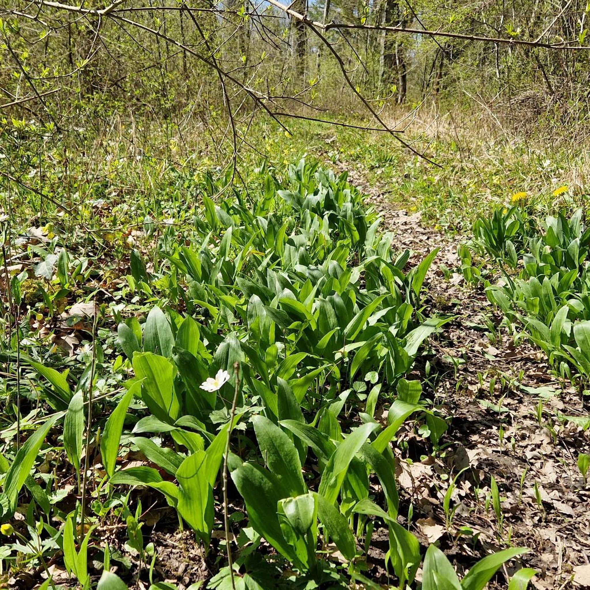


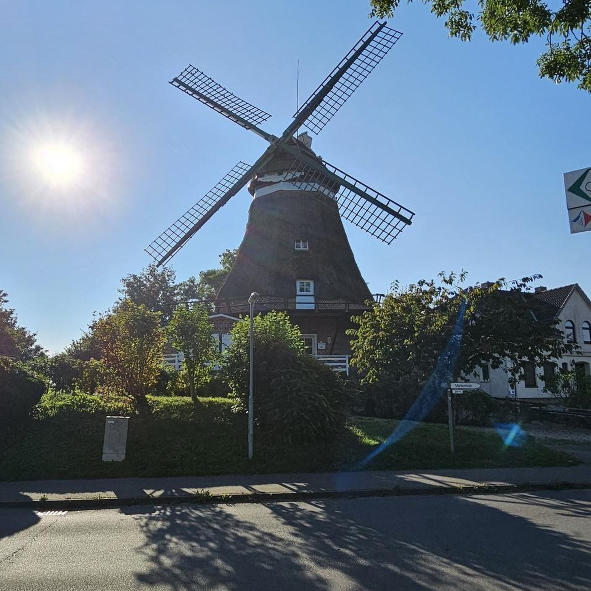
Tips from the Community

road a little damaged on the back but good exit
0
0

The river here is beautiful. Beautiful cliffs, a superb bridge, a bucolic place where sometimes cows cool off. Circourt-sur-Mouzon is very pleasant.
1
0

At this fountain you can tap the good Vittel water
1
0

Attigny is a pretty little village on the banks of the Saône.
3
0
Frequently Asked Questions
How many road cycling routes are available around Suriauville?
There are over 170 road cycling routes around Suriauville, offering a wide range of options for different skill levels and preferences.
What is the typical terrain like for road cycling in the Suriauville area?
The terrain around Suriauville, nestled in the Vosges department, is quite varied. You'll encounter elevations ranging from 345 to 484 meters, providing a mix of gentle slopes and more challenging ascents. The area is characterized by forests and is drained by several streams, offering a scenic and diverse riding experience.
What are the difficulty levels of road cycling routes in Suriauville?
The routes around Suriauville cater to various abilities. There are 27 easy routes, 136 moderate routes, and 13 difficult routes, ensuring options for beginners to experienced cyclists looking for a challenge.
What do other road cyclists enjoy most about the routes in Suriauville?
The road cycling routes in Suriauville are highly rated by the komoot community, with an average score of 4.1 stars from over 50 reviews. Cyclists often praise the varied terrain, the scenic forested areas, and the proximity to thermal towns like Vittel, which add to the overall experience.
Are there circular road cycling routes available around Suriauville?
Yes, many of the road cycling routes around Suriauville are designed as loops. For example, the Vosges canal – Croix Blosse loop from Contrexéville and the Vittel Public Water Fountain – Dirt Trail in the Forest loop from Contrexéville are popular circular options.
What landmarks or natural features can I see along road cycling routes near Suriauville?
As you cycle around Suriauville, you can explore several interesting points. Notable attractions include the Thermes de Contrexéville, the serene Folie Lakes, and the Vittel Thermal Park. You might also pass historical sites like the Ancient Roman Road or the Sandaucourt Castle.
Are there family-friendly road cycling routes in Suriauville?
While specific 'family-friendly' designations for road cycling can vary, the area offers 27 easy routes that are generally suitable for less experienced riders or families. These routes typically feature gentler slopes and shorter distances, allowing for a more relaxed pace.
What is the best time of year for road cycling in Suriauville?
The Vosges region experiences an oceanic degraded climate with continental influences. Spring and autumn generally offer pleasant temperatures and beautiful scenery for road cycling. Summer can also be enjoyable, though it might be warmer. It's always advisable to check local weather forecasts before heading out.
Where can I find parking for road cycling routes in Suriauville?
Many routes start from towns like Contrexéville, which typically offer public parking facilities. For specific trailheads, it's recommended to check the individual route details on komoot, as parking information is often provided there. The Vittel Thermal Park is also a known parking location.
Can I find cafes or places to stop along the road cycling routes?
Yes, the region around Suriauville includes thermal towns like Vittel and Contrexéville, which offer amenities such as cafes, restaurants, and shops. Many routes pass through or near these towns, providing opportunities for refreshment and breaks. The Vittel Public Water Fountain – Dirt Trail in the Forest loop from Contrexéville, for instance, passes by a public water fountain.
Are there challenging routes for experienced road cyclists?
Absolutely. For experienced road cyclists seeking a challenge, there are 13 difficult routes available. An example is the Vosges canal – Croix Blosse loop from Contrexéville, which covers 77.1 miles (124.0 km) with significant elevation gain, taking approximately 6 hours to complete. Another demanding option is the Views of Circourt-sur-Mouzon – frebecourt castle loop from Contrexéville, a 78.4-mile (126.1 km) trail with over 1000 meters of elevation gain.
How long do road cycling routes near Suriauville typically take to complete?
The duration of routes varies significantly based on distance and elevation. Shorter, easier routes might take a couple of hours, while longer, more challenging ones can take half a day or more. For example, the Roadbike loop from Contrexéville is a moderate 54.5 km route that takes around 2 hours 20 minutes, whereas the Frebecourt castle – The First Bridge over the Meuse loop from Contrexéville is 85.9 km and takes about 3 hours 35 minutes.
Most popular attractions around Suriauville

Get inspired with the komoot mobile app


Explore more
Browse the best Road cycling routes in other regions.
