The best walks and hikes around Xertigny
4.3
(415)
1,916
hikers
138
hikes
Hiking around Xertigny offers varied and verdant landscapes in the Vosges department of Grand Est, France. The region is characterized by rolling, wooded terrain, transitioning from cultivated low plateaus to heavily forested high plateaus reaching up to 600 meters in altitude. Numerous rivers and streams, such as the Ruisseau de Rechentreux, add to the natural features, providing diverse environments for outdoor activities.
Best hiking trails in Xertigny
- The most popular hiking route is Gué du Saut Waterfall loop from Xertigny…
Last updated: May 24, 2026
4.6
(5)
10
hikers
15.3km
04:12
240m
240m
Moderate hike. Good fitness required. Easily-accessible paths. Suitable for all skill levels.
4.6
(5)
10
hikers
Moderate hike. Good fitness required. Easily-accessible paths. Suitable for all skill levels.

Sign up for free
3.0
(2)
5
hikers
Easy hike. Great for any fitness level. Easily-accessible paths. Suitable for all skill levels.
14
hikers
19.3km
05:17
300m
300m
Hard hike. Very good fitness required. Easily-accessible paths. Suitable for all skill levels.
4.0
(1)
10
hikers
12.7km
03:27
190m
190m
Moderate hike. Good fitness required. Easily-accessible paths. Suitable for all skill levels.
Get access to more routes and recommendations from other explorers.
Sign up for free
Already have an account?
Our route recommendations are based on thousands of hikes, rides, and runs completed by other people on komoot.
Start today with a free account
Your next adventure awaits.
Login or Signup
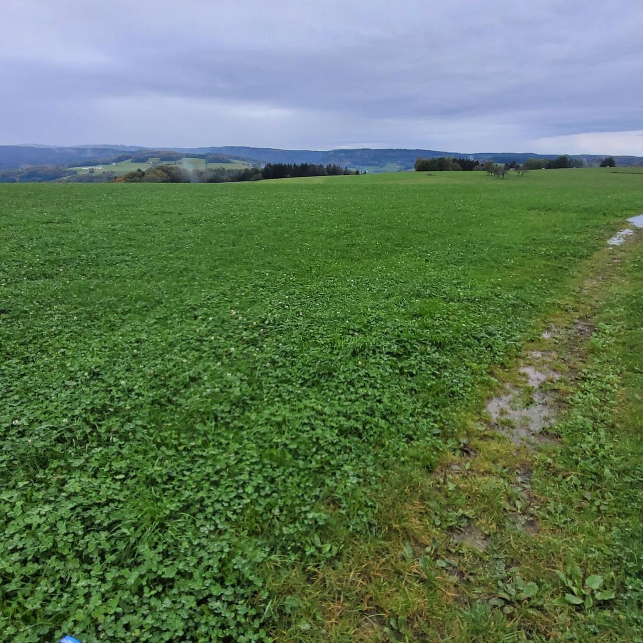
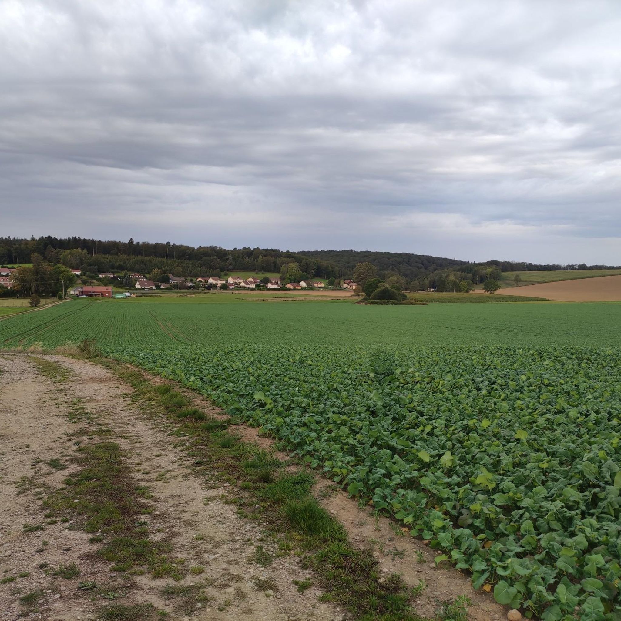
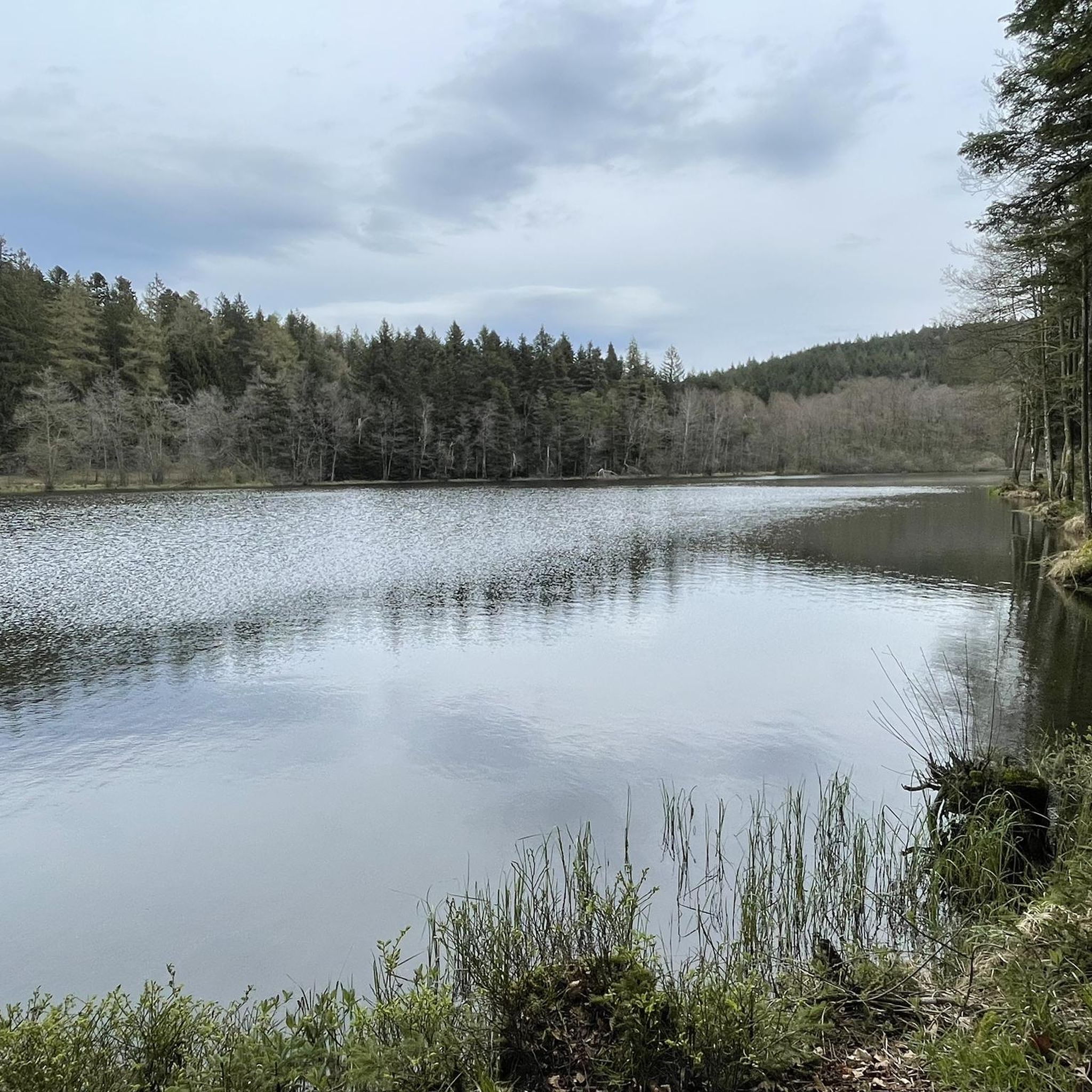
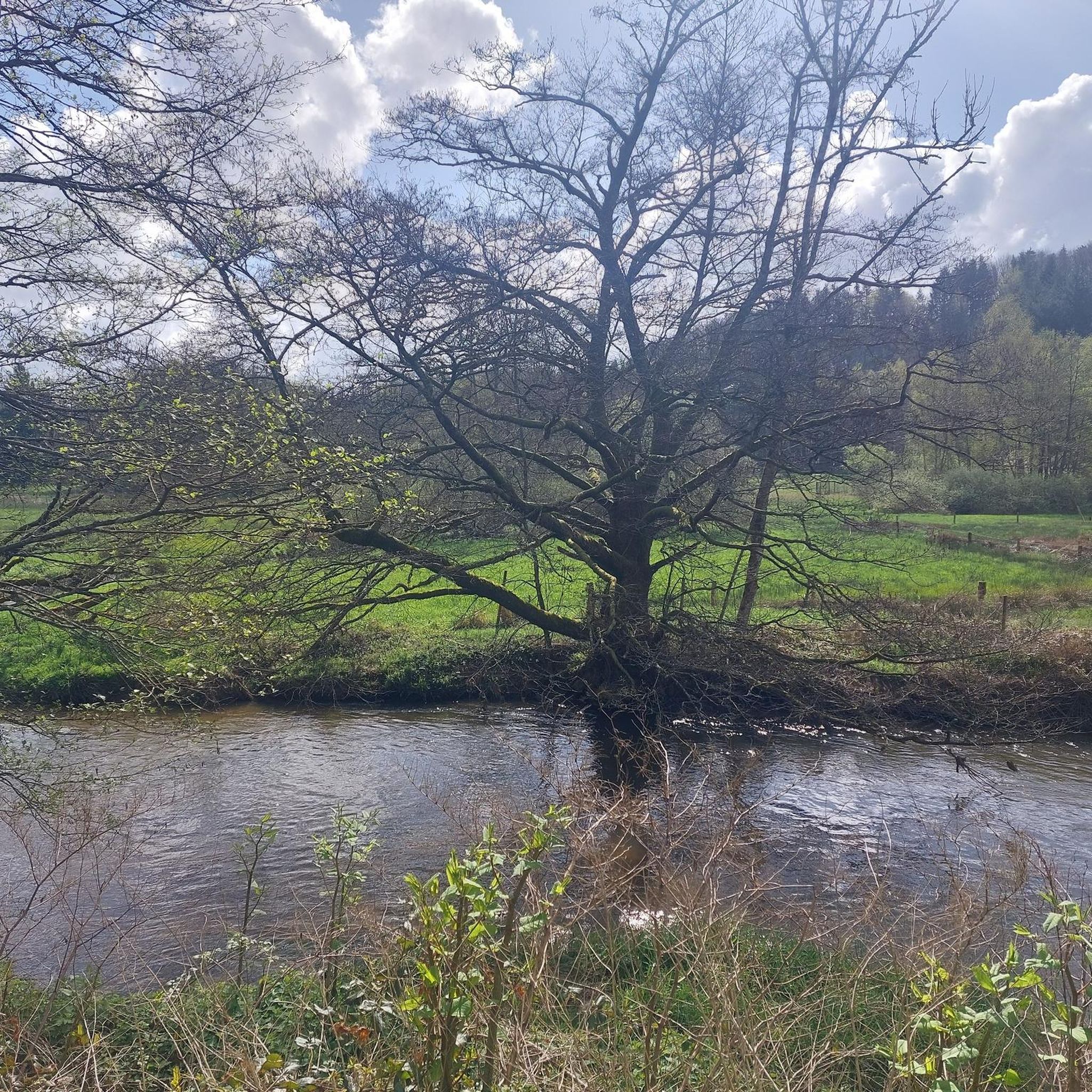

Tips from the Community

The turnaround point after crossing the road is a very narrow and overgrown path. I wouldn't recommend walking this path in rain or after long periods of rain.
0
0

Pretty waterfall in peace and shade. You will have to get off your bike to enjoy the picnic tables located below the road.
1
0
Frequently Asked Questions
How many hiking trails are available around Xertigny?
Xertigny offers an extensive network of over 130 marked hiking trails, catering to various skill levels. You'll find everything from easy strolls to more challenging routes, allowing you to explore the diverse landscapes of the Vosges department.
What do other hikers enjoy most about the trails in Xertigny?
The trails in Xertigny are highly rated by the komoot community, with an average score of 4.3 stars from over 390 reviews. Hikers frequently praise the serene, diverse forests, the well-maintained paths, and the charming natural features like the Cascade du Gué du Saut.
Are there any easy hiking options suitable for families or beginners?
Yes, Xertigny has over 50 easy hiking routes. For a short and pleasant walk, consider the Gué du Saut Waterfall – Gué du Saut Waterfall loop from Cascade du Gué du Saut, which is 1.2 miles (1.9 km) and takes about 33 minutes, leading directly through forested paths to the waterfall.
Can I find any waterfalls on the hiking trails in Xertigny?
Absolutely! The charming Cascade du Gué du Saut is a central feature of many popular loops. You can experience it on routes like the Gué du Saut Waterfall loop from Xertigny, a 9.3-mile (14.9 km) trail. Another waterfall to explore is the Cascade Gandon, accessible via the Cascade Gandon loop from Harsault.
What kind of natural landmarks or viewpoints can I discover while hiking?
Beyond the waterfalls, Xertigny's forests hide several natural gems. You can find the impressive Roches d'Olima, rock formations nearly 20 meters high offering seasonal panoramic views. The tranquil Étang de la Comtesse, a protected botanical site with unique pond and peatland plants, is also worth exploring for nature observation.
Are there any circular hiking routes available?
Yes, many of the trails in Xertigny are designed as circular routes, making them convenient for day trips. The 'Xertigny Tour' project alone includes 15 distinct loops, ranging from 1 to 15 km, including a 45 km circuit that encompasses the entire commune.
Are there any historical sites or points of interest along the trails?
Xertigny blends nature with history. The 'L'Histoire en Marche' trail guides visitors through the village and forest with discovery panels narrating the area's past. You can also visit the historic Château des Brasseurs (now the town hall) and explore the nearby Arboretum and Bois Beaudouin, which features ponds historically used for ice cutting. For other historical points of interest, consider visiting Fort du Parmont or The Royal Factory of Bains-les-Bains.
What is the typical duration for a moderate hike in Xertigny?
For a moderate hike, you can expect durations ranging from 3 to 5 hours. For example, the Restaurant Maison Carmen – Gué du Saut Waterfall loop from Cascade du Gué du Saut is a 7.1-mile (11.4 km) path that typically takes around 3 hours and 6 minutes to complete.
Is there parking available near the trailheads?
Yes, parking is generally available at various starting points for the trails. Many routes, especially those leading to popular spots like the Cascade du Gué du Saut, have designated parking areas nearby to facilitate access for hikers.
What kind of landscapes can I expect to see while hiking in Xertigny?
Xertigny offers a diverse and verdant landscape. You'll hike through serene, hilly countryside, transitioning from cultivated lowlands to heavily forested high plateaus reaching up to 600 meters. The forests are particularly notable, featuring magnificent beech woods, ancient oaks, ash trees, spruces, and firs.
Are there any longer or more challenging routes for experienced hikers?
Yes, for those seeking a greater challenge, there are several difficult routes. An example is the Gué du Saut Waterfall – Restaurant Maison Carmen loop from Xertigny, which covers 21.1 miles (34 km) and involves significant elevation changes, typically taking over 5 hours to complete.
Most popular attractions around Xertigny

Get inspired with the komoot mobile app


Explore more
Browse the best Hikes in other regions.
