The best road cycling routes around Saint-Cyr-Les-Vignes
4.0
(72)
1,507
riders
198
rides
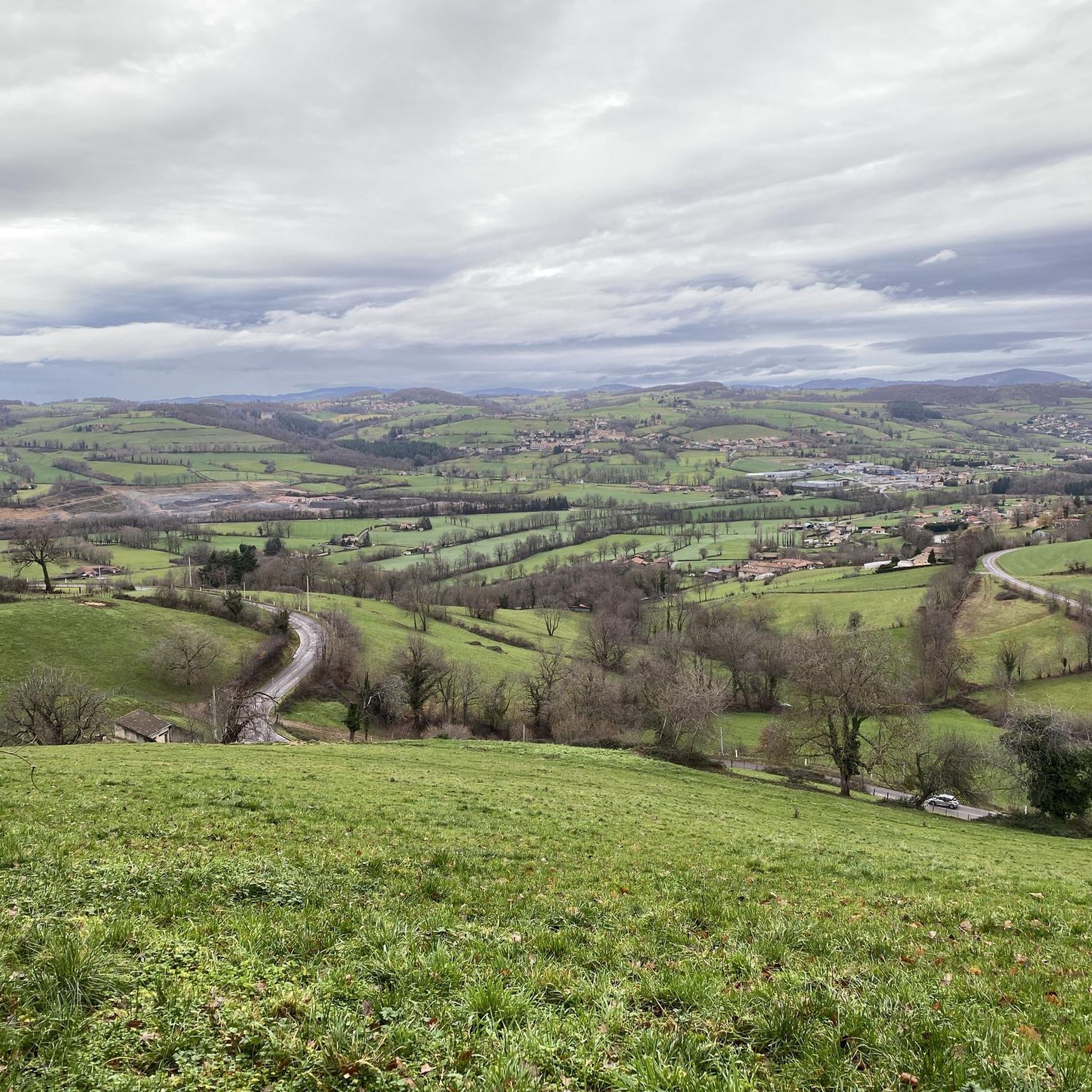
Road cycling routes around Saint-Cyr-Les-Vignes traverse a landscape characterized by rolling agricultural plains, river valleys, and numerous ponds. The region offers a mix of flatter sections ideal for steady rides and gentle hills that provide varied terrain. This area, situated within the Loire department, features a network of quiet country roads suitable for road cyclists.
Best road cycling routes around Saint-Cyr-Les-Vignes
- The most popular road cycling route is Saint-Laurent-la-Conche and Ponds of Feurs Loop, a 24.9 miles (40.1 km)…
Last updated: May 23, 2026
4.8
(4)
13
riders
40.1km
01:38
120m
120m
Easy road ride. Great for any fitness level. Mostly well-paved surfaces and easy to ride.
54
riders
Easy road ride. Great for any fitness level. Mostly well-paved surfaces and easy to ride.

Sign up for free
3.0
(1)
44
riders
30.2km
01:20
260m
260m
Easy road ride. Great for any fitness level. Mostly well-paved surfaces and easy to ride.
25
riders
49.9km
02:34
640m
640m
Moderate road ride. Good fitness required. Some segments of this route may be unpaved and difficult to ride.
26
riders
51.9km
02:42
750m
750m
Moderate road ride. Good fitness required. Some segments of this route may be unpaved and difficult to ride.
Get access to more routes and recommendations from other explorers.
Sign up for free
Already have an account?
Our route recommendations are based on thousands of hikes, rides, and runs completed by other people on komoot.
Start today with a free account
Your next adventure awaits.
Login or Signup


Tips from the Community

asphalt, part on a shared lane on the St André side
0
0

Along the road to Chazelle, a small green setting is offered to nature lovers: the Hurongues lake. This ideal place for a walk and for a family picnic. Swimming is prohibited for the moment but a project is being studied to make this activity authorized in the summer of 2024.
0
0

The road along the Etang des Buillons is both pretty and quiet. There is not much traffic in this direction and the scenery is very pleasant.
1
0

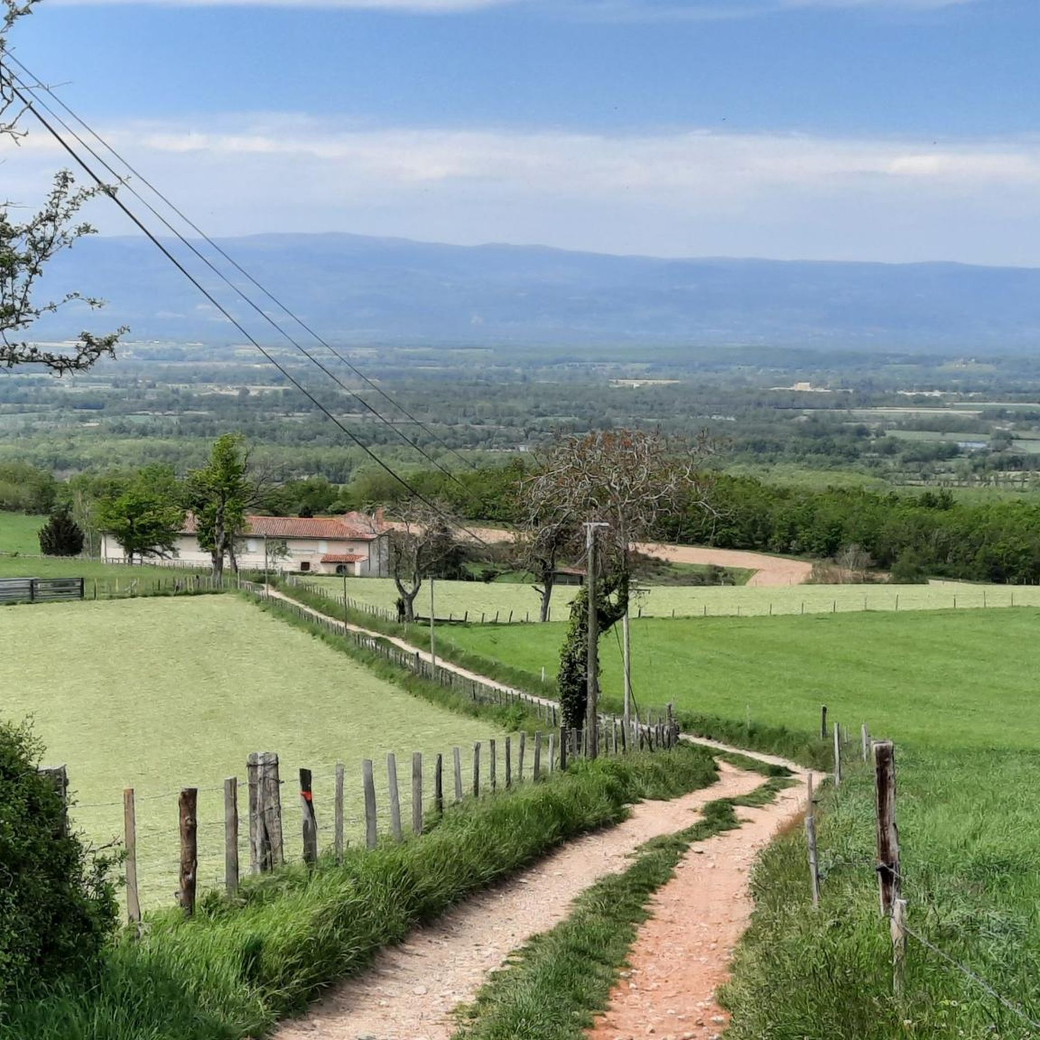
It is a bucolic path, shaded and asphalted, between the Bruyères pond and the Vieux pond. The views are truly magnificent!
1
0
View of the Motasse pond and the Desert pond, on the pretty pond road.
1
0
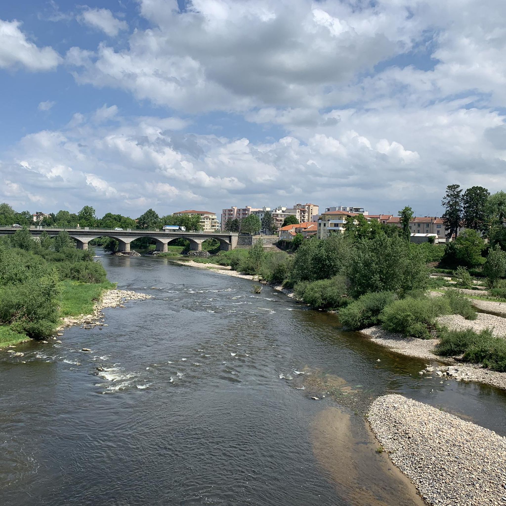
Montrond les Bains greenway, along the river.
1
0
Frequently Asked Questions
How many road cycling routes are available around Saint-Cyr-Les-Vignes?
There are over 200 road cycling routes in the Saint-Cyr-Les-Vignes area, offering a wide range of options for different skill levels. You'll find approximately 30 easy routes, over 120 moderate routes, and nearly 50 challenging options.
Are there easy road bike routes suitable for beginners in Saint-Cyr-Les-Vignes?
Yes, Saint-Cyr-Les-Vignes offers several easy road cycling routes perfect for beginners or those seeking a relaxed ride. An excellent option is the Saint-Laurent-la-Conche and Ponds of Feurs Loop, which covers about 40 km with gentle gradients around the scenic Ponds of Feurs.
What are the elevation gains like on road cycling routes in this region?
The elevation gains vary significantly across the region. Easy routes, like the Saint-Laurent-la-Conche and Ponds of Feurs Loop, feature minimal climbs around 120 meters. Moderate routes, such as The curist trail – Montrond-les-Bains loop, can involve around 650 meters of ascent, while more difficult routes, like the Hill climb alongside the Loire – Loire Bridge loop, can exceed 970 meters.
Are there any family-friendly road biking options around Saint-Cyr-Les-Vignes?
The region's landscape of rolling agricultural plains and quiet country roads makes it suitable for family-friendly road biking, especially on the easier, flatter sections. Routes around the Ponds of Feurs, such as The ponds of Feurs loop from Virigneux, offer pleasant rides with scenic views and less traffic.
What kind of scenery can I expect on road cycling routes in Saint-Cyr-Les-Vignes?
Road cycling routes in Saint-Cyr-Les-Vignes offer diverse scenery, including tranquil agricultural plains, picturesque river valleys, and numerous ponds. You'll often ride on quiet country roads, passing through charming villages and enjoying views of the Loire department's gentle hills and natural landscapes.
Are there any circular road cycling routes in the area?
Yes, many of the road cycling routes around Saint-Cyr-Les-Vignes are designed as loops, allowing you to start and finish at the same point. Examples include the popular Saint-Laurent-la-Conche and Ponds of Feurs Loop and Hurongues Pond – Panoramic View loop from Montrond-les-Bains.
What are some interesting landmarks or attractions to see along the road cycling routes?
While cycling, you can explore several interesting landmarks. Consider visiting the historic town of Montrond-les-Bains with its impressive Montrond-les-Bains Castle. The Gimond Dam and the serene Hurongues Pond are also notable points of interest.
What do other road cyclists enjoy most about cycling in Saint-Cyr-Les-Vignes?
The komoot community highly rates road cycling in Saint-Cyr-Les-Vignes, with an average score of 3.9 stars from over 80 reviews. Cyclists often praise the region's network of quiet country roads, the scenic beauty of the ponds, and the varied terrain that caters to different ability levels.
Are there challenging road cycling routes for advanced riders?
Yes, advanced riders will find challenging routes with greater elevation gain. For instance, the Hill climb alongside the Loire – Loire Bridge loop from Montrond-les-Bains is a difficult route spanning over 80 km with nearly 1000 meters of climbing, offering a significant test for experienced cyclists.
What is the best time of year for road cycling in Saint-Cyr-Les-Vignes?
The best time for road cycling in Saint-Cyr-Les-Vignes is typically from spring through early autumn. During these seasons, the weather is generally mild and pleasant, making for ideal riding conditions on the region's quiet roads and through its agricultural landscapes.
Are there routes that offer panoramic viewpoints?
Yes, some routes provide excellent panoramic views of the surrounding countryside. The Hurongues Pond – Panoramic View loop from Montrond-les-Bains is specifically designed to include scenic vistas, allowing you to appreciate the rolling hills and natural beauty of the Loire department.
Can I find routes that pass by the Loire River?
Absolutely. The region is situated within the Loire department, and some routes will take you alongside the river. The Hill climb alongside the Loire – Loire Bridge loop from Montrond-les-Bains is one such route that features sections along the Loire, offering unique riverside cycling experiences.
Most popular routes around Saint-Cyr-Les-Vignes
Most popular attractions around Saint-Cyr-Les-Vignes

Get inspired with the komoot mobile app


Explore more
Browse the best Road cycling routes in other regions.
