The best running trails around Frières-Faillouël
4.3
(25)
1,058
runners
200
runs
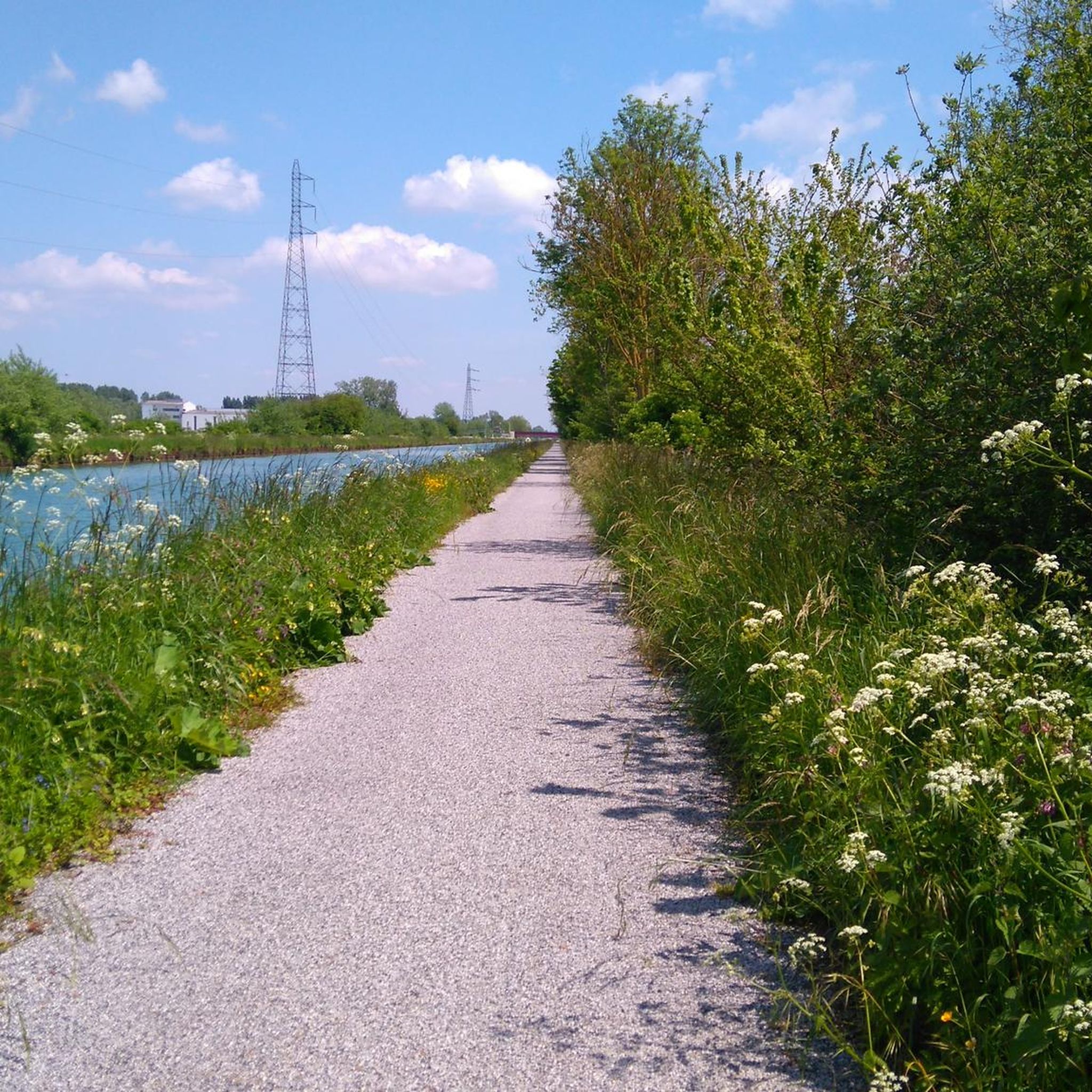
Jogging routes Frières-Faillouël traverse a landscape characterized by diverse terrain, including fields and forests. The commune's altitude ranges from 57 to 108 meters, offering a mix of flat sections and gentle inclines. This topography provides varied running experiences within a natural and serene environment, with extensive woodlands like the Grand Bois Des Housseaux.
Best jogging routes around Frières-Faillouël
- The most popular jogging route is Tergnier – Veltin School bell tower loop from Tergnier, a 7.4 miles (11.8 km) trail…
Last updated: June 30, 2026
5.0
(1)
28
runners
11.7km
01:12
20m
20m
Moderate run. Good fitness required. Mostly paved surfaces. Suitable for all skill levels.
11
runners
Moderate run. Good fitness required. Mostly paved surfaces. Suitable for all skill levels.

Sign up for free
10
runners
Hard run. Very good fitness required. Mostly paved surfaces. Suitable for all skill levels.
9
runners
7.63km
00:47
40m
40m
Moderate run. Good fitness required. Mostly paved surfaces. Suitable for all skill levels.
8
runners
Moderate run. Good fitness required. Mostly paved surfaces. Suitable for all skill levels.
Get access to more routes and recommendations from other explorers.
Sign up for free
Already have an account?
Our route recommendations are based on thousands of hikes, rides, and runs completed by other people on komoot.
Start today with a free account
Your next adventure awaits.
Login or Signup


Tips from the Community

The bell tower of the Veltin School, visible from the Rue de la Famille Sauvage (Quessy-Cité), still marks the time of the bombing that devastated the city during the night of 10 to 11 April 1944.
7
0

Tergnier where Art Deco is omnipresent. Its most representative examples are Place Carnégie (classified as a historic monument), the Town Hall and the Fargniers church. The media library, a former station buffet, is a site that became historic with the arrival of Victor Hugo in 1870 who had his first meal on French soil there upon his return from exile. The bell tower of the Veltin school, visible from rue de la Famille Sauvage (Quessy-Cité), still indicates the time of the bombing which ravaged the city on the night of April 10 to 11, 1944. Seven tourist signs, located in the city to constitute the Trails of Memory, retrace acts of war or resistance during the Second World War which took place in the territory.
6
0

The clock of this bell tower still marks the time of the dramatic bombardment of the night of April 10 to 11, 1944 which destroyed three quarters of this wonderful city of railway workers.
2
0

Tergnier is a garden city for railway workers. After the First World War, the completely destroyed city had to be rebuilt: Tergnier thus became the site of the construction of the largest garden city of the railway company. It was created in 1919 to accommodate railway workers (hence its name). Very influenced by the art deco style of these years of the beginning of the 20th century, one finds there more surprisingly many Masonic symbols while browsing its streets.
3
0
Frequently Asked Questions
How many running routes are available in Frières-Faillouël?
There are nearly 200 running routes around Frières-Faillouël documented on komoot, offering a wide variety of options for joggers of all levels. This includes 23 easy routes, 144 moderate routes, and 26 more challenging trails.
What kind of terrain can I expect on the jogging trails in Frières-Faillouël?
The jogging trails in Frières-Faillouël feature a diverse landscape of open fields and extensive forests, such as the Grand Bois Des Housseaux. The topography includes both flat sections and gentle inclines, with altitudes ranging from 57 to 108 meters, providing varied experiences for runners.
Are there any easy running routes for beginners in the area?
Yes, Frières-Faillouël offers 23 easy running routes suitable for beginners or those looking for a less strenuous jog. An example is the Running loop from Tergnier, which is 3.3 km long with minimal elevation changes.
What do other runners think about the trails in Frières-Faillouël?
The running routes in Frières-Faillouël are highly rated by the komoot community, with an average score of 4.4 out of 5 stars from over 20 reviews. More than 1000 runners have used komoot to explore the varied terrain, often praising the tranquil environment and diverse scenery.
Are there any circular running paths in Frières-Faillouël?
Many of the running routes in Frières-Faillouël are circular, allowing you to start and finish at the same point. For instance, the Veltin School bell tower loop from Tergnier is a moderate 6.5 km circular route.
What can I see or explore along the jogging routes?
While jogging, you can enjoy scenic views of the Oise slopes and potentially observe local wildlife, especially within the extensive woodlands. Nearby attractions include the town of Tergnier, the Cycle path along the Canal de Saint-Quentin, and the Seraucourt le Grand British Cemetery.
Are there any routes that offer particularly scenic views?
Yes, the natural environment of Frières-Faillouël, with its fields and forests, provides many scenic opportunities. The
What is the best time of year to go jogging in Frières-Faillouël?
The extensive woodlands, such as the Grand Bois Des Housseaux, offer shaded paths and a refreshing atmosphere, making them ideal for longer runs or during warmer weather. Generally, spring and autumn provide pleasant temperatures for outdoor activities, while shaded forest paths can be enjoyable in summer.
Are there any family-friendly running trails?
While specific 'family-friendly' designations are not provided, the area's gentle topography and numerous easy routes make many trails suitable for families. The shorter, less challenging loops through fields and forests are generally a good choice for a family outing.
Can I bring my dog on the running trails?
The natural environment of Frières-Faillouël, with its fields and forests, is generally welcoming for dogs. However, it's always recommended to keep your dog on a leash, especially in areas with wildlife or near agricultural land, and to check local regulations for specific trails.
How long are the running trails typically in Frières-Faillouël?
The running trails vary in length. For example, the Tergnier – Veltin School bell tower loop from Tergnier is 11.8 km (7.4 miles), while the Running loop from Tergnier is 3.3 km (2.1 miles). You can find routes ranging from short, easy loops to longer, moderate runs.
Are there any specific landmarks or points of interest near the running routes?
Beyond the natural beauty, you can find points of interest like the town of Tergnier, which is a common starting point for several routes. The Seraucourt-le-Grand area also offers historical sites such as the Seraucourt le Grand British Cemetery.
Most popular attractions around Frières-Faillouël

Get inspired with the komoot mobile app


Explore more
Browse the best Running Trails & Routes in other regions.
