The best running trails around Thal Bei Maursmünster
4.5
(126)
7,347
runners
323
runs
Jogging routes around Thal Bei Maursmünster traverse a diverse landscape characterized by forests, river valleys, and varied elevations. The region features a network of paths suitable for running, from flat towpaths along canals to more challenging trails with significant climbs through wooded areas. Natural features like the Canal de la Marne au Rhin and the surrounding Naturpark Thal provide scenic backdrops for running. This area offers a range of terrain, including gentle paths and more strenuous routes leading past historical…
Last updated: July 5, 2026
127
runners
16.2km
02:09
480m
480m
Hard run. Very good fitness required. Mostly paved surfaces. Suitable for all skill levels.
28
runners
20.6km
02:23
370m
370m
Hard run. Very good fitness required. Mostly paved surfaces. Suitable for all skill levels.

Sign up for free
5.0
(1)
62
runners
6.90km
00:56
240m
240m
Moderate run. Good fitness required. Mostly paved surfaces. Suitable for all skill levels.
9
runners
15.3km
02:02
460m
460m
Hard run. Very good fitness required. Sure-footedness, sturdy shoes and alpine experience required.
16
runners
10.3km
01:24
330m
330m
Hard run. Very good fitness required. Mostly paved surfaces. Suitable for all skill levels.
Get access to more routes and recommendations from other explorers.
Sign up for free
Already have an account?
Our route recommendations are based on thousands of hikes, rides, and runs completed by other people on komoot.
Start today with a free account
Your next adventure awaits.
Login or Signup



Tips from the Community

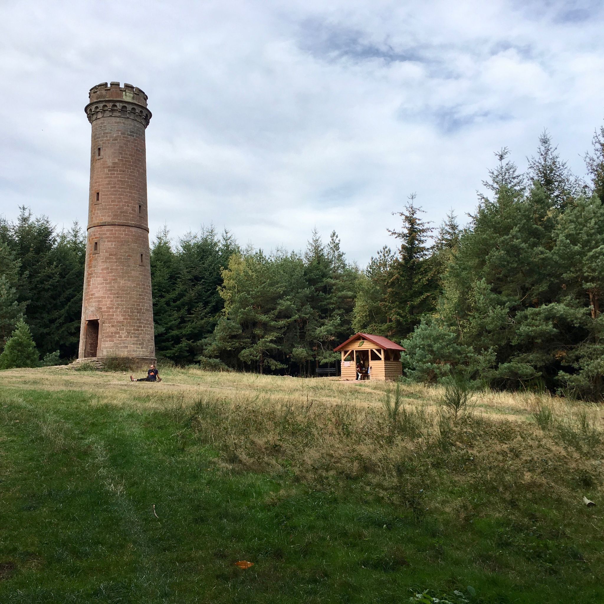
Old Telegraph, a visit is possible during the summer months
0
0


This small castle is nowhere near as impressive as its two neighboring castles. But the climb is still worth it.
0
0
Fantastic view. Anyone attempting this should be free from vertigo. The descent is very steep and deep.
1
0
The view from the tower is excellent. The climb is definitely worth it. Be careful when climbing the stairs. At times (at window level), some steps are longer than others.
1
0

Unfortunately, the stairs to the Petit Ochsenstein have been dismantled 😢
0
0
Unfortunately, the iron ladder at the Petit Ochsenstein was dismantled 😢
0
0

Be sure to climb the Krappenfels here. The view of Dabo is fantastic. The few meters of elevation gain are definitely worth it.
0
0
Frequently Asked Questions
How many running routes are available around Thal Bei Maursmünster?
There are over 300 running routes in the Thal Bei Maursmünster area. These include a wide variety of options, with 12 easy routes, 160 moderate routes, and 141 difficult routes, ensuring choices for all fitness levels.
What kind of terrain can I expect on the running trails near Thal Bei Maursmünster?
The region offers diverse terrain, from flat and scenic towpaths along the Canal de la Marne au Rhin and the Valley of the Lock Keepers, to more challenging trails with significant elevation changes through dense woodlands and the beautiful Jura landscapes of Naturpark Thal. You'll find paths suitable for gentle jogs as well as strenuous runs past historical sites.
Are there family-friendly running routes in the Thal Bei Maursmünster area?
Yes, the area offers routes suitable for families. While specific 'family-friendly' routes are not explicitly categorized, the 12 easy routes available are generally well-suited for a more relaxed pace, often featuring less challenging terrain and shorter distances. Look for paths along the canal towpaths for flatter, more accessible options.
Can I bring my dog on the running trails around Thal Bei Maursmünster?
Many trails in the Thal Bei Maursmünster region are dog-friendly, especially those through natural areas like the Naturpark Thal. It's always recommended to keep your dog on a leash, especially in areas with wildlife or near other trail users, and to check local regulations for specific routes.
What are some notable landmarks or points of interest I might see while jogging?
You can encounter several interesting landmarks. The Haut-Barr Castle offers fantastic views, and the Château du Grand Géroldseck is another impressive historical site. For natural features, you might pass by the Falkenfels Cliffs or the Geisterfelsen. Some routes also lead past unique sites like the Saint-Vit Cave: Chapel and Garden.
Are there any circular running routes available?
Yes, many of the running routes around Thal Bei Maursmünster are designed as loops. For example, the Petit Geroldseck Castle – Château du Grand Géroldseck loop from Reinhardsmunster is a popular moderate circular path, and the Geissfels Viewpoint – Geissfels loop from Reinhardsmunster offers a challenging circular experience through woodlands.
What do other runners enjoy most about jogging in Thal Bei Maursmünster?
The running routes in Thal Bei Maursmünster are highly rated by the komoot community, with an average score of 4.5 stars from over 120 reviews. Runners often praise the diverse terrain, from scenic canal towpaths to challenging forest trails, and the opportunity to pass by historic castles and enjoy beautiful viewpoints.
Are there running routes that offer significant elevation gain for a more challenging workout?
Absolutely. The region is known for its varied terrain, including routes with substantial elevation changes. For instance, the Brotsch Cave – Brotsch Tower loop from Reinhardsmunster is a difficult route with over 480 meters of elevation gain, providing a demanding and rewarding experience for those seeking a strenuous run.
Can I access the running trails using public transport?
While specific public transport connections to every trailhead are not detailed, the region around Thal Bei Maursmünster is generally accessible. For routes starting from towns like Reinhardsmunster or Haegen, it's advisable to check local bus or train schedules to see if they connect to your desired starting point. Parking is often available near popular trailheads for those traveling by car.
What is the best time of year to go jogging in Thal Bei Maursmünster?
The region offers enjoyable jogging conditions throughout much of the year. Spring and autumn provide pleasant temperatures and beautiful scenery with blooming flowers or vibrant foliage. Summer is also great, though it's best to run in the mornings or evenings to avoid the midday heat. Winter jogging is possible, especially on lower elevation paths, but be mindful of potential snow or ice on higher, more exposed trails.
Are there any longer running routes for endurance training?
Yes, there are several longer routes suitable for endurance training. The Château du Grand Géroldseck – Petit Geroldseck Castle loop from Thal-Marmoutier is a difficult route spanning over 20 kilometers, offering a significant distance and elevation for a challenging long run.
Most popular routes around Thal Bei Maursmünster
Most popular attractions around Thal Bei Maursmünster

Get inspired with the komoot mobile app


Explore more
Browse the best Running Trails & Routes in other regions.
