The best mountain hikes around Fellering
4.7
(21)
74
hikers
25
hikes
Mountaineering routes near Fellering traverse a diverse landscape characterized by forested slopes, high-altitude lakes, and prominent peaks like the Grand Ballon. The region offers varied terrain, from challenging ascents to more moderate trails through natural features. Elevations vary, providing opportunities for both sustained climbs and scenic loops. The area is well-suited for exploring mountainous environments.
Best mountaineering routes around Fellering
- The most popular mountaineering route is Mountaineering loop from Théâtre du Peuple, a 5.7 miles (9.2 km) trail that…
Last updated: October 8, 2026
4.6
(5)
6
hikers
9.20km
02:44
280m
280m
Moderate mountaineering route. Good fitness required. Easily-accessible paths. Suitable for all skill levels.
14
hikers
2.51km
01:29
220m
220m
Hard mountaineering route. Great for any fitness level. Sure-footedness, sturdy shoes and alpine experience required.

5.0
(2)
6
hikers
Moderate mountaineering route. Great for any fitness level. Mostly accessible paths. Sure-footedness required.
5.0
(1)
4
hikers
3.22km
01:23
210m
210m
Hard mountaineering route. Great for any fitness level. Sure-footedness, sturdy shoes and alpine experience required.
2
hikers
20.4km
07:44
1,090m
1,090m
Hard mountaineering route. Very good fitness required. Sure-footedness, sturdy shoes and alpine experience required.
Get access to more routes and recommendations from other explorers.
Already have an account?
Our route recommendations are based on thousands of hikes, rides, and runs completed by other people on komoot.
Start today with a free account
Your next adventure awaits.

Tips from the Community

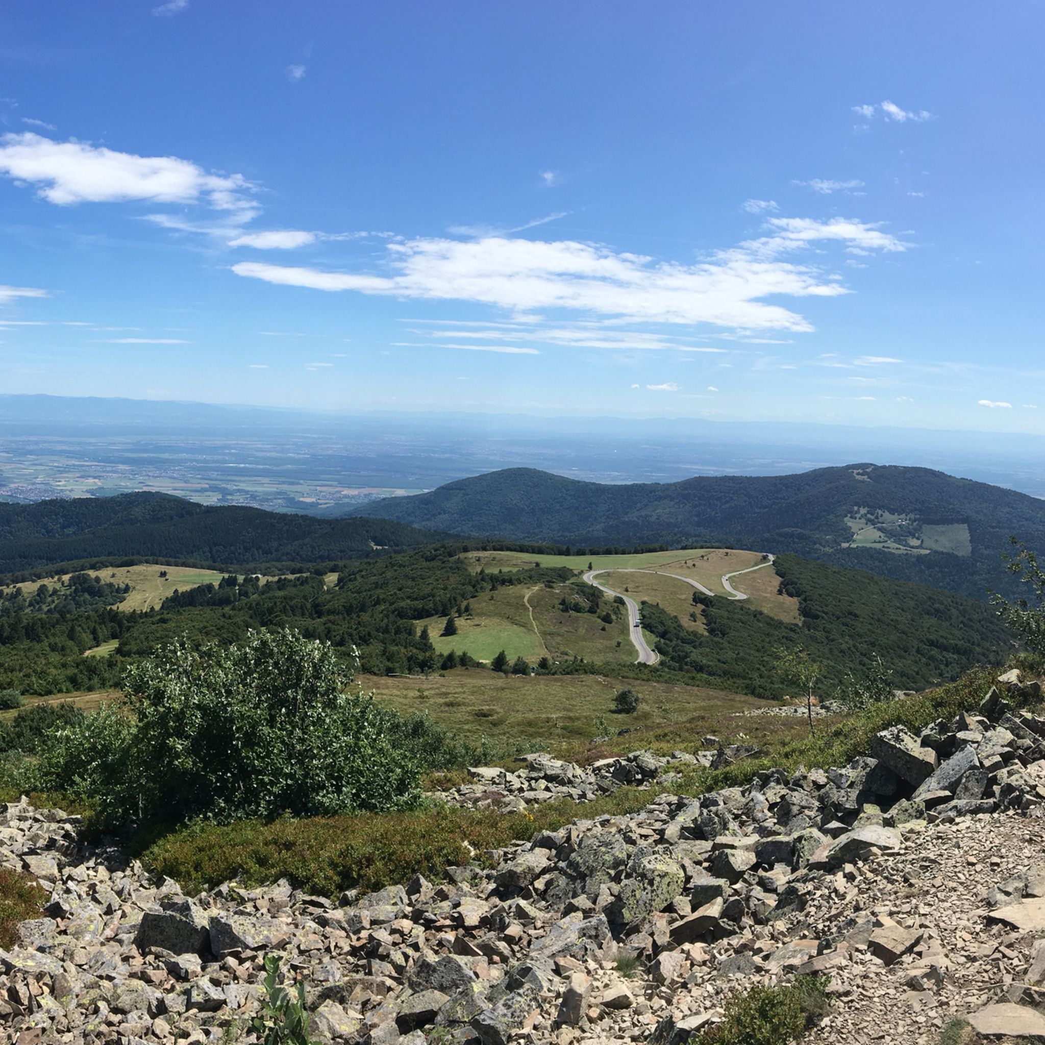
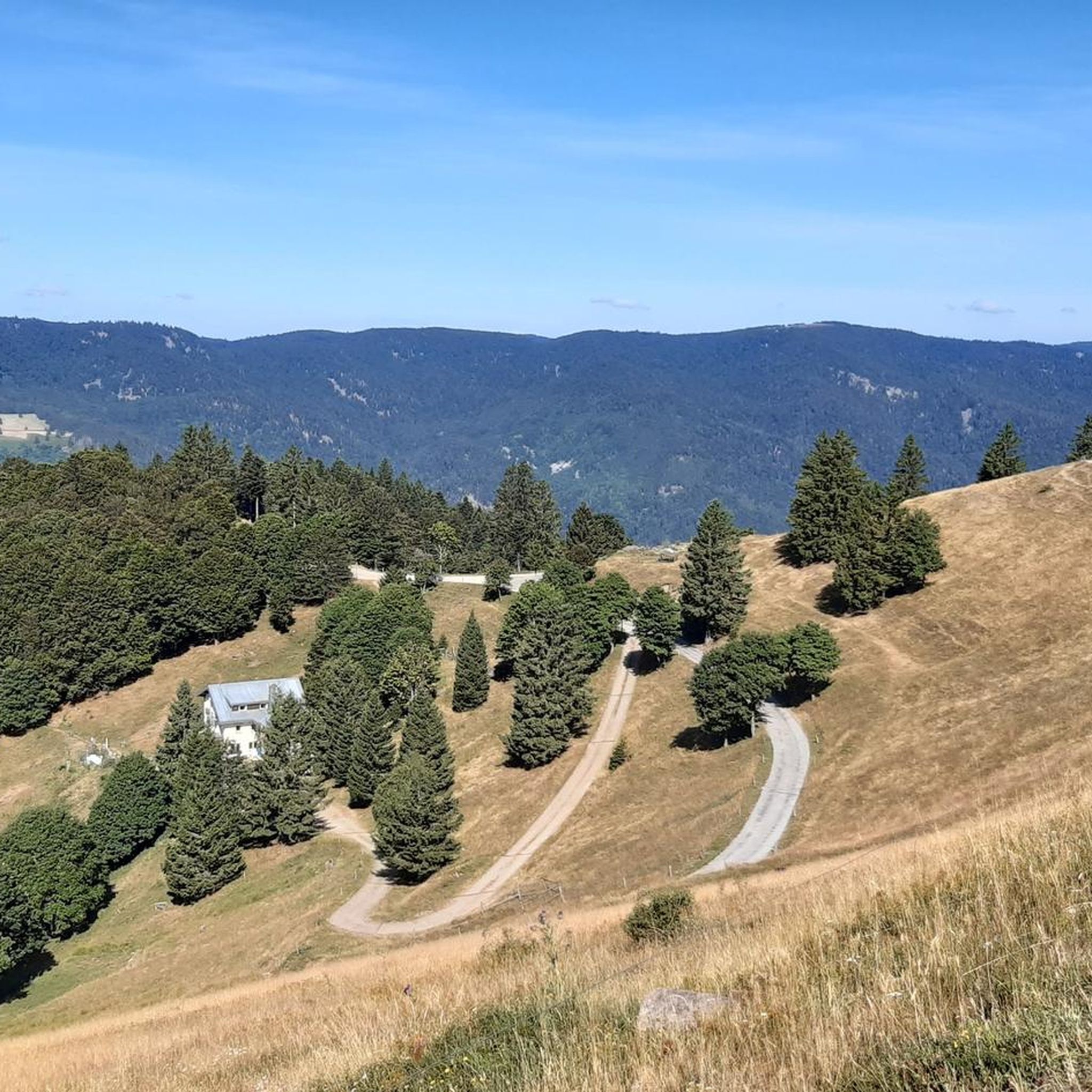
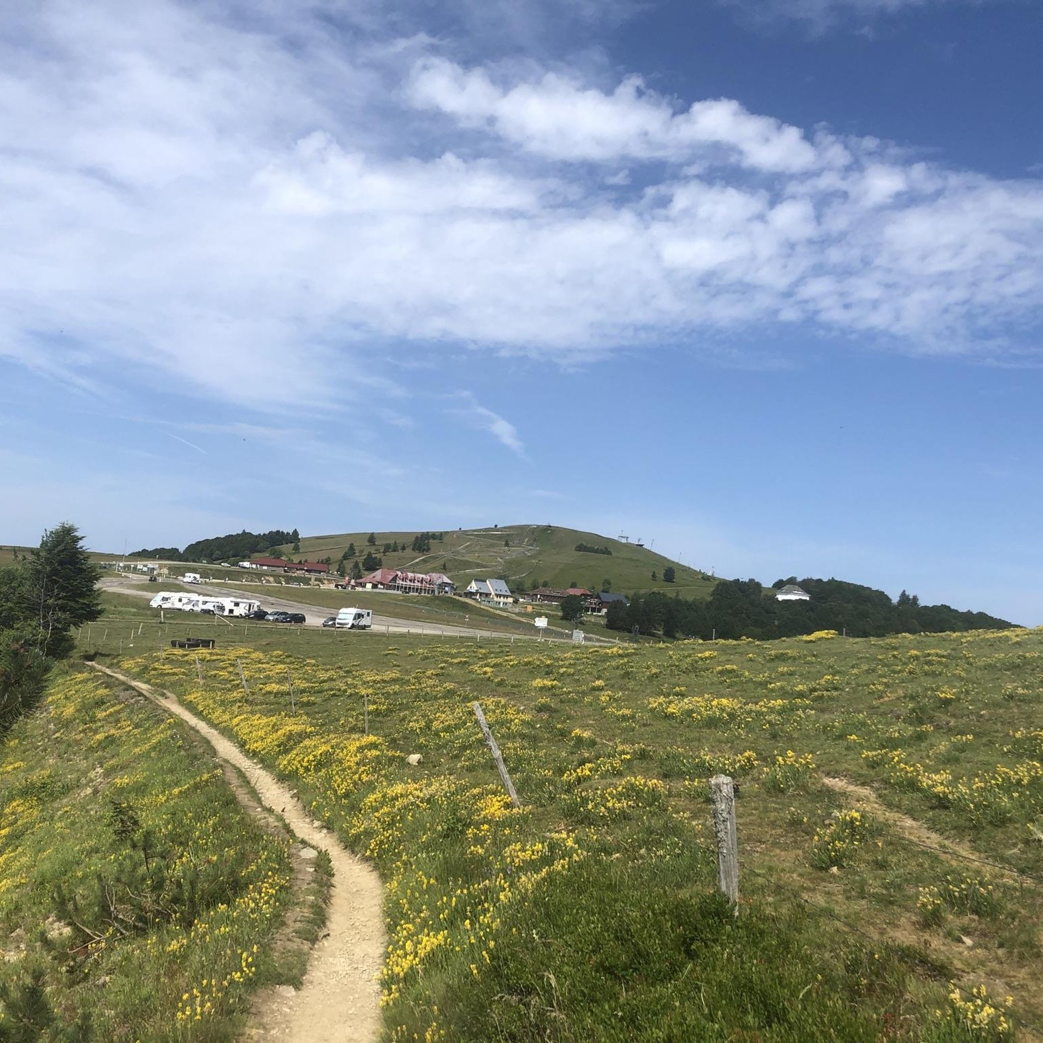
When you drive from the Route des Crêtes towards Le Grand Ballon, you pass the Col du Haag (1233 m) almost unnoticed. Yet, this pass marks a special point on the southern flank of the highest mountain in the Vosges. Here, steep roads from the Thurdal leave the wooded slopes and reach the open heights of the massif. From the col, a typical Vosges landscape unfolds with mountain meadows, scattered farms, and sweeping views. The proximity of the Grand Ballon is felt everywhere: the imposing summit towers above the pass and forms the natural goal of the final climbing kilometers. For cyclists, the Col du Haag is mainly known as the point where difficult climbs from the valleys converge before the road continues to rise to the highest point of the Vosges.
4
0

To get there, the trail is a bit steep.
0
0

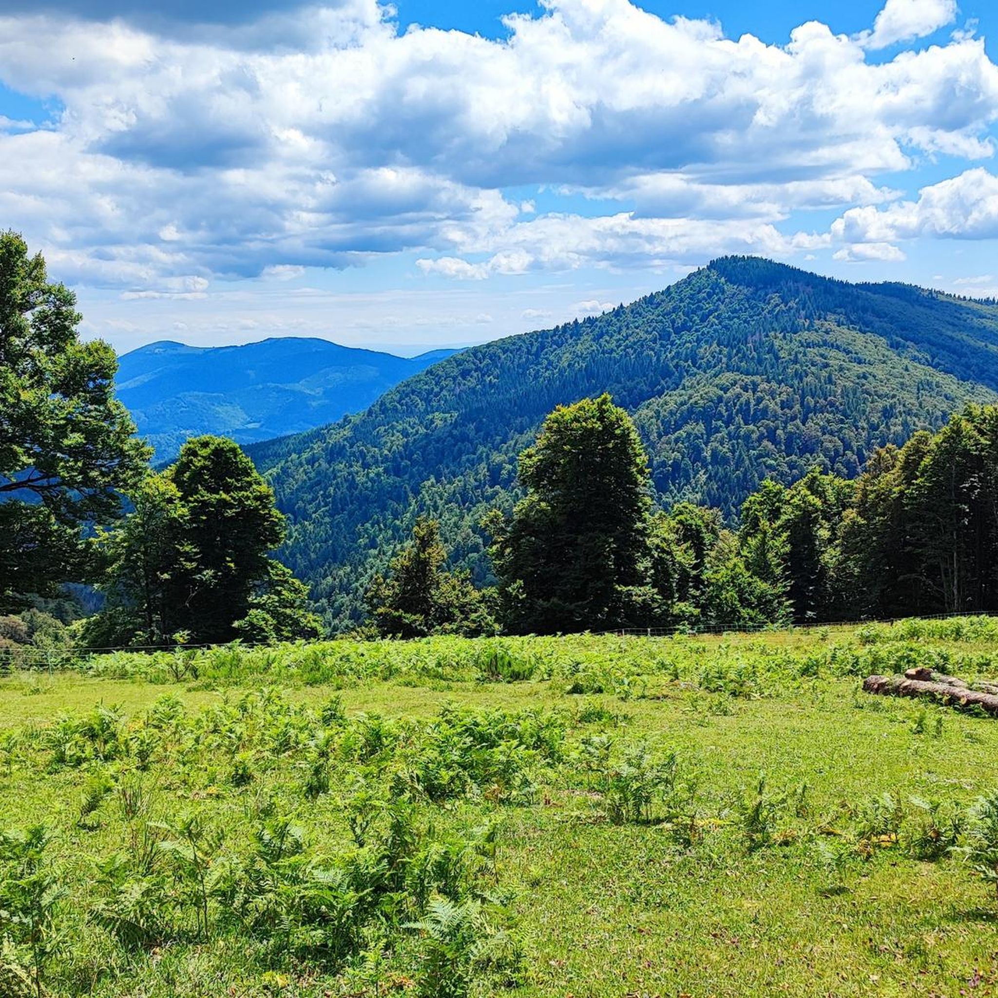
Awesome views that you have earned as a reward through the Felsenland
3
0

In nice weather a view of the Alps
0
0


The radar was designed as an architectural masterpiece by its designer, Claude Vasconi, and was built in 1997. Under the radome, visitors can access an orientation table offering superb views.
0
0

An exciting detour over the Spitzkopf ridge leads over steep, earthy terrain. Parallel to the T4 section is a T6 section that leads directly over the rocky ridge. Therefore, caution is always advised if you want to avoid a branch onto the T6 section. The T4 section is steep, but never leads over exposed, rocky terrain.
0
0
Frequently Asked Questions
What types of mountaineering routes can I find around Fellering?
Fellering offers a diverse range of mountaineering routes, from moderate ascents through forested slopes to more challenging technical paths and high-altitude loops. You'll find a good mix, with 13 moderate and 12 difficult routes, plus one easy option, catering to various skill levels.
Are there any beginner-friendly mountaineering routes in Fellering?
Yes, while many routes are moderate to difficult, there is at least one easy mountaineering route available. For those looking for a slightly more challenging but still manageable experience, consider a moderate route like the Mountaineering loop from Théâtre du Peuple, which offers varied terrain over 5.7 miles.
What are some challenging mountaineering routes near Fellering?
For experienced mountaineers seeking a challenge, Fellering has several difficult routes. The Via ferrata – The beginning loop from Fontaine Minerale is a notable option, featuring technical sections and exposed rock faces. Another demanding route is the Lake Fischboedle – Hohneck loop from Mittlach, a longer expedition covering over 12 miles with significant elevation gain.
Are there any circular mountaineering routes in the Fellering area?
Yes, many mountaineering routes around Fellering are designed as loops, allowing you to start and end at the same point. Examples include the popular Mountaineering loop from Théâtre du Peuple and the scenic Grand Ballon – Panoramic view from the Grand Ballon summit loop from Grand Ballon.
What kind of natural landmarks or attractions can I see along the mountaineering routes?
The routes often pass by beautiful natural features. You can explore several high-altitude lakes, such as Lake Schiessrothried or Lake Fischboedle. Some trails also offer views of prominent mountain passes like Markstein.
What is the best time of year for mountaineering in Fellering?
The prime season for mountaineering in Fellering typically runs from late spring through early autumn (May to October), when weather conditions are generally more stable and trails are clear of snow. However, conditions can vary, especially at higher elevations, so always check the local forecast before heading out.
Are there any routes that offer panoramic views?
Absolutely. The region is known for its stunning vistas. The Grand Ballon – Panoramic view from the Grand Ballon summit loop from Grand Ballon is specifically designed to showcase breathtaking views from the highest peak in the Vosges mountains.
What do other mountaineers say about the routes in Fellering?
The mountaineering routes in Fellering are highly regarded by the komoot community, boasting an average rating of 4.7 stars from over 20 reviews. Mountaineers often praise the varied terrain, the beauty of the high-altitude lakes, and the challenging yet rewarding ascents.
Are there any specific lakes that are popular to visit on a mountaineering tour?
Yes, several lakes are integrated into mountaineering routes. For instance, the difficult Crows' Lake loop from Lac des Corbeaux takes you around Crow Lake, offering a scenic and challenging experience.
Is it possible to find family-friendly mountaineering options around Fellering?
While many routes are moderate to difficult, families with some hiking experience can find suitable options. Look for the easier or shorter moderate loops, especially those that pass by interesting natural features like lakes, which can keep younger adventurers engaged. Always check the route's distance and elevation gain to ensure it matches your family's ability.
What is the typical elevation gain on mountaineering routes in Fellering?
Elevation gains vary significantly across Fellering's routes. You can expect anything from around 200 meters (650 feet) on shorter, moderate loops to over 1000 meters (3,280 feet) on more demanding, difficult expeditions like the Lake Fischboedle – Hohneck loop from Mittlach.
Most popular routes around Fellering
Most popular attractions around Fellering

Get inspired with the komoot mobile app


Explore more
Browse the best Mountain Hikes & Routes in other regions.
