The best running trails around Saint-Brancher
4.3
(25)
1,092
runners
134
runs
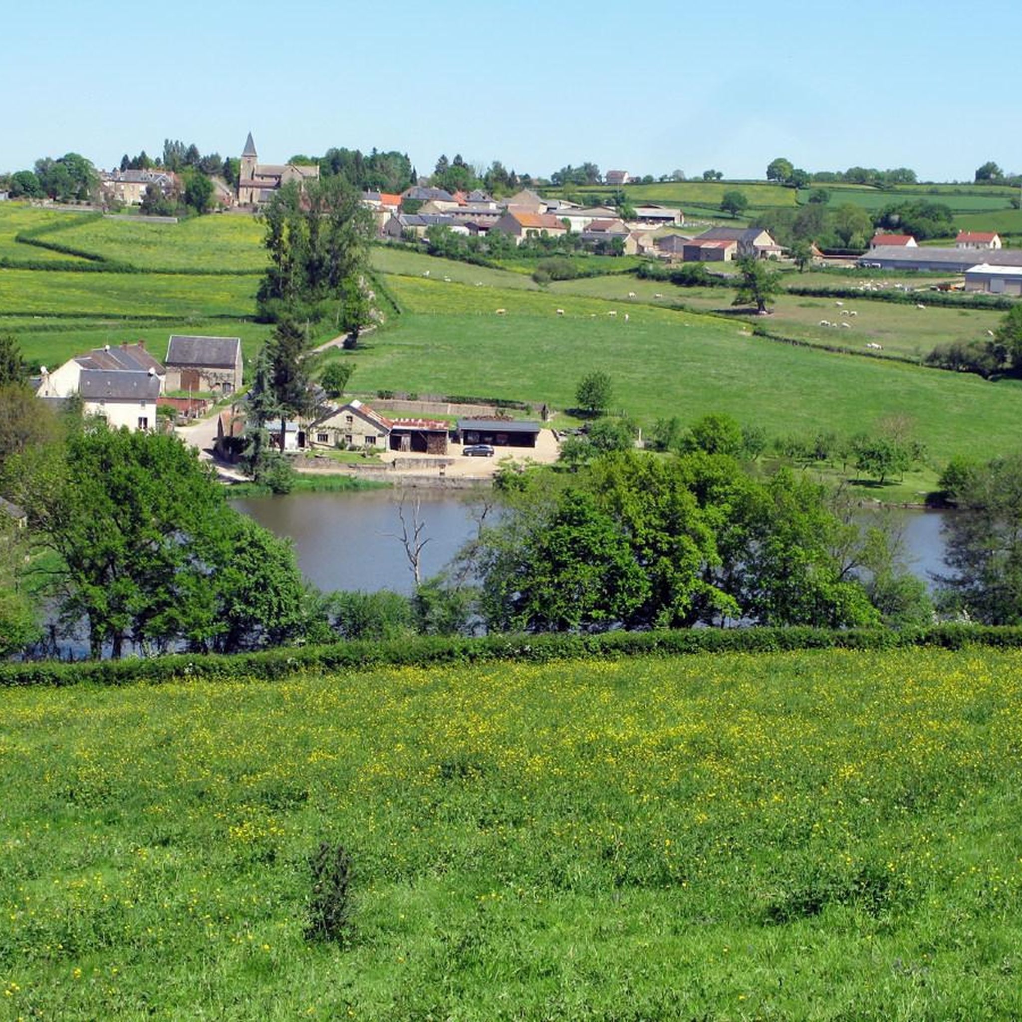
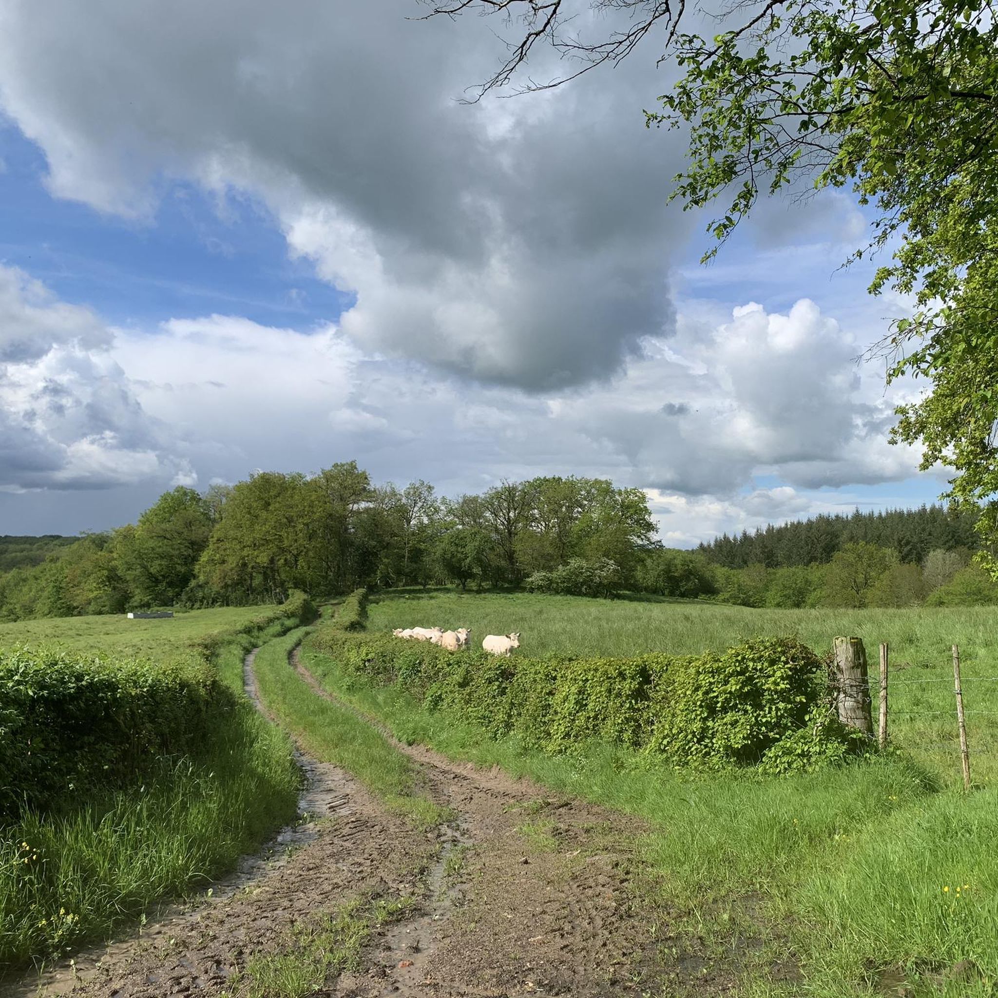
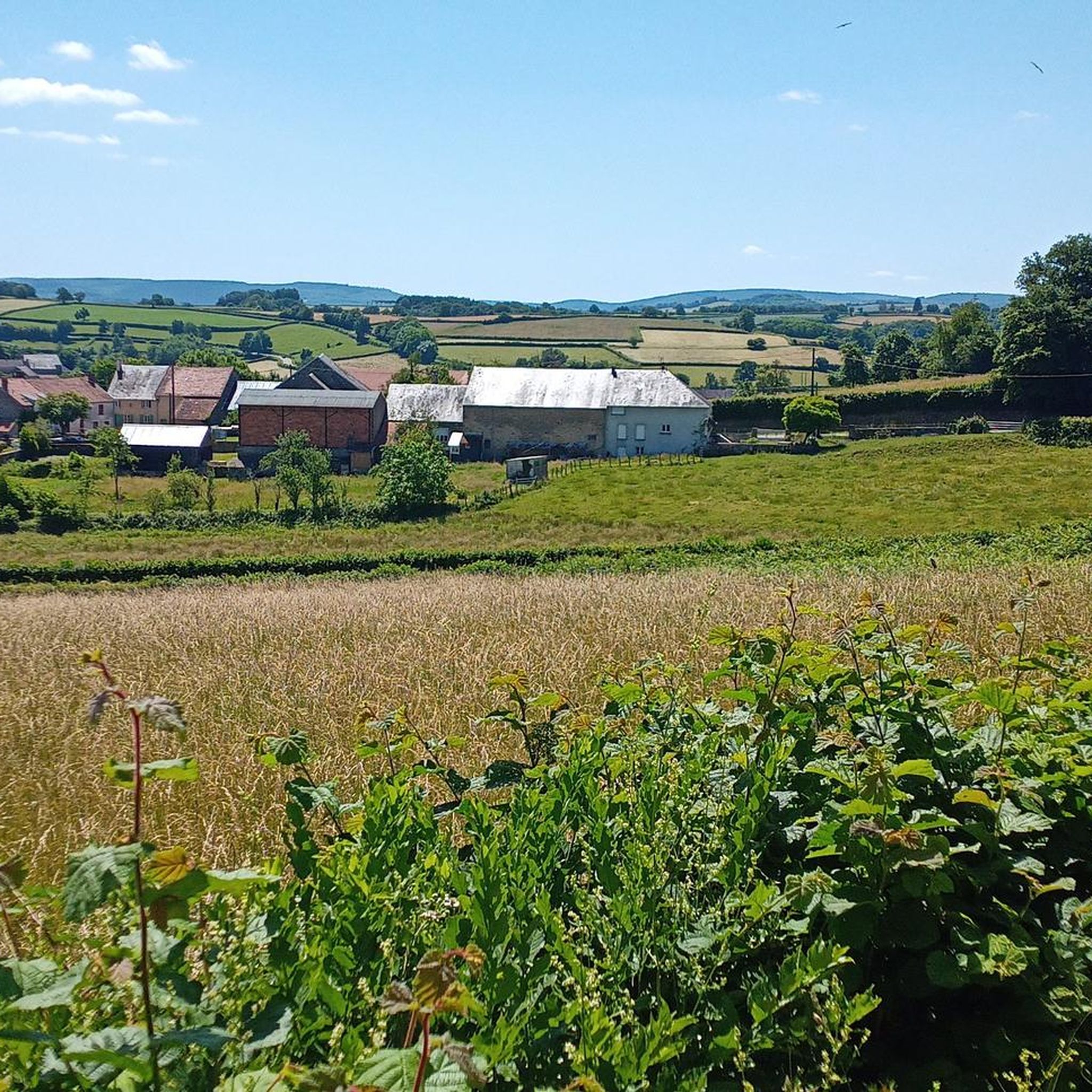
Jogging around Saint-Brancher offers a variety of routes through the region's diverse landscape. The terrain features rolling hills, river valleys like the Cousin Valley, and areas surrounding historical sites such as châteaux. Elevation changes are present, ranging from gentle inclines to more challenging ascents, providing options for different fitness levels.
Best jogging routes around Saint-Brancher
- The most popular jogging route is Cousin Valley Loop, a 5.3 miles (8.6 km) trail that takes 1 hour 2 minutes to complete. This…
Last updated: July 6, 2026
7
runners
8.58km
01:03
130m
120m
Jog this moderate 5.3-mile loop through the scenic Cousin Valley, a Natura 2000 site with forests, historical mills, and diverse wildlife.
1.0
(1)
7
runners
18.9km
02:01
170m
170m
Hard run. Very good fitness required. Mostly paved surfaces. Suitable for all skill levels.

Sign up for free
5.0
(2)
3
runners
10.2km
01:08
190m
200m
Moderate run. Good fitness required. Mostly paved surfaces. Suitable for all skill levels.
3
runners
6.22km
00:42
140m
140m
Moderate run. Good fitness required. Mostly paved surfaces. Suitable for all skill levels.
3
runners
16.6km
01:49
260m
260m
Hard run. Very good fitness required. Mostly paved surfaces. Suitable for all skill levels.
Get access to more routes and recommendations from other explorers.
Sign up for free
Already have an account?
Our route recommendations are based on thousands of hikes, rides, and runs completed by other people on komoot.
Start today with a free account
Your next adventure awaits.
Login or Signup

Tips from the Community

Crescent Lake owes its name to its crescent shape. It is popular with local fishermen and also with swimmers who can visit its beach to cool off. Camping is also permitted. This lake, with its exceptionally bucolic setting, was chosen as the location in 2015 by Michel Gondry for filming his movie Microbe and Gazoil.
1
0

There is no possibility of touring the lake by mountain bike along the banks, but rather by taking the road. However, check that the road that passes over the dam is open (temporarily closed until June 25, 2025 for us!).
1
0

As in probably every other profession, there are a few so-called “black sheep” among the many honorable millers in the milling trade. The popular children's book author Otfried Preußler tells the following short episode in “The Flight into Egypt”: “And they didn't even get all the way to Klostergrätz that evening, but there was a mill on their way, the monastery mill - they stayed there until the next morning. At first the monastery miller was almost shocked when the k.k. Gendarmerie knocks on his door: There had been a certain dispute with a customer last week about a few sacks of milling material which had disappeared in the mill here in a completely inexplicable way […] but it could have been that he had been reported for it anyway – and now they’re coming to pick him up… then of course all the disputed milling sacks had immediately fallen from his mind, the monastery miller, just as [sergeant] Hawlitschek was now simply asking him for a place to stay for the night.”
0
0


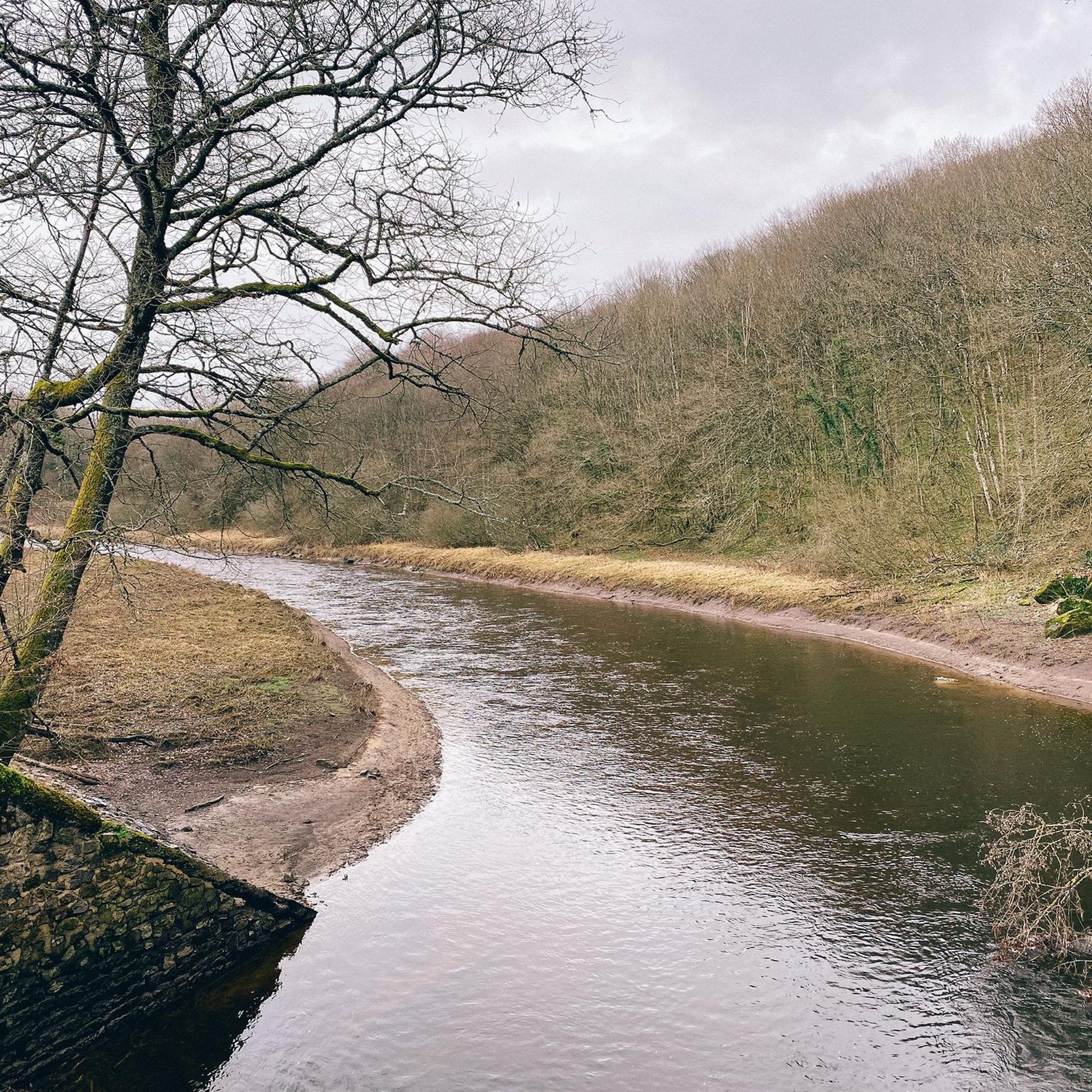
A pretty flat segment along the Le Cousin river from Pontaubert to Avallon. The road is shaded and it is pleasantly cool to cycle along the river. The water is not drinkable, but it is nice to stop for a quick swim (the water is not deep).
1
0

Magnificent site. Very nice surprise while crossing the country!
0
0

The Crescent Dam was built between 1929 and 1932. A gravity dam, it is 330 meters long and 37 meters high. Its width at the base is 24 meters and at the crest 3.5 meters. It was built on the initiative of SA Compagnie HydroElectrique de la Cure and was owned by the City of Paris until 1946. The dam was built to regulate the waters of the Yonne and Seine rivers and thus prevent flooding in Paris, while also producing electricity. More than 165 hectares of cultivated land, hamlets, mills, and paths were flooded to allow the creation of the reservoir (maximum depth of 40 meters). It occupies four municipalities and two departments, and is fed by the Cure and Chalaux rivers. The structure was partly financed by war reparations owed by Germany to France after the First World War. This is why much of the dam's mechanisms are German-made. The road across it is narrow and only allows passage for one vehicle. Fortunately, there is very little traffic.
1
0

Moulin Cadoux dates from the mid 1700s. Many of the mills in the Morvan have disappeared, but this one has been lovingly saved and restored.
3
0
Frequently Asked Questions
How many running routes are available around Saint-Brancher?
There are over 100 running routes in the Saint-Brancher area, offering a wide variety of options for different fitness levels and preferences. You'll find everything from easy jogs to more challenging long-distance trails.
Are there easy running routes suitable for beginners in Saint-Brancher?
Yes, Saint-Brancher offers several easy running routes perfect for beginners or those looking for a relaxed jog. There are 11 routes specifically graded as easy, providing gentle inclines and scenic paths through the region's diverse landscape.
What options are available for long-distance running near Saint-Brancher?
For runners seeking a challenge, Saint-Brancher has 23 difficult routes, many of which are long-distance. An example is the challenging Quarré-les-Tombes – Quarré-les-Tombes loop, which covers over 20 km with significant elevation changes.
Are there any circular running routes in the Saint-Brancher area?
Many of the running trails around Saint-Brancher are circular, allowing you to start and finish at the same point. A popular choice is the Cousin Valley Loop, offering a scenic return to your starting point.
What kind of scenery can I expect on running trails in Saint-Brancher?
The running routes in Saint-Brancher are known for their varied scenery, including river valleys like the Cousin Valley, forested sections, and open countryside. You'll encounter rolling hills and areas surrounding historical sites such as châteaux, providing a picturesque backdrop for your run.
What do other runners enjoy most about jogging in Saint-Brancher?
The komoot community highly rates the running experience in Saint-Brancher, with an average score of 4.6 stars from over 20 reviews. Runners often praise the diverse terrain, the beautiful natural landscapes, and the variety of routes suitable for different abilities.
Are there any interesting landmarks or attractions to see along the running routes?
Yes, several running routes pass by or are near notable attractions. You might encounter historical sites like the La Pierre-qui-Vire Abbey or natural features such as the Crescent Dam and Lake Saint-Agnan. The Château de Sauvigny-le-Bois loop is another route that takes you through landscapes around a historic château.
Is parking available near the running trails in Saint-Brancher?
While specific parking information isn't provided for every route, in rural areas like Saint-Brancher, you can generally find parking in village centers or designated areas near popular trailheads. It's advisable to check the route details on komoot for specific starting points.
Can I find running routes that are suitable for families with children?
Many of the easier and moderate routes in Saint-Brancher, particularly those with less elevation gain and shorter distances, can be suitable for families. Look for routes graded as 'easy' or 'moderate' that explore gentle terrain, such as sections of the Cousin Valley, for a pleasant family outing.
Are there any running routes that offer viewpoints or scenic overlooks?
Given the region's rolling hills and river valleys, many routes naturally offer scenic viewpoints. While not explicitly named as 'viewpoint routes', trails like the Crescent Dam loop provide picturesque views of the surrounding landscape and water features.
What is the best time of year for running in Saint-Brancher?
Saint-Brancher offers enjoyable running conditions throughout much of the year. Spring and autumn provide pleasant temperatures and beautiful foliage, while summer mornings and evenings are ideal for avoiding the midday heat. Winter running is also possible, though some trails might be muddy or require appropriate gear.
Most popular routes around Saint-Brancher
Most popular attractions around Saint-Brancher

Get inspired with the komoot mobile app


Explore more
Browse the best Running Trails & Routes in other regions.
