The best walks and hikes around Les Riceys
4.7
(40)
171
hikers
28
hikes
Hiking around Les Riceys offers routes through the gentle hills and valleys characteristic of the Aube region. The landscape is primarily defined by extensive vineyards, interspersed with patches of forest and agricultural land. Elevations are generally modest, providing accessible paths for various skill levels. The region's geology contributes to a varied terrain suitable for walking.
Best hiking trails around Les Riceys
- The most popular hiking route is Cadole – Wegkreuz loop from Les Riceys, a 4.6 miles (7.5 km)…
Last updated: June 25, 2026
4.5
(4)
9
hikers
7.48km
02:06
150m
150m
Moderate hike. Good fitness required. Easily-accessible paths. Suitable for all skill levels.
5.0
(2)
11
hikers
Easy hike. Great for any fitness level. Easily-accessible paths. Suitable for all skill levels.

Sign up for free
3.7
(3)
11
hikers
17.1km
04:45
310m
310m
Moderate hike. Good fitness required. Easily-accessible paths. Suitable for all skill levels.
4.7
(3)
7
hikers
10.6km
02:57
200m
200m
Moderate hike. Good fitness required. Easily-accessible paths. Suitable for all skill levels.
3.0
(1)
5
hikers
9.81km
02:42
170m
170m
Moderate hike. Good fitness required. Easily-accessible paths. Suitable for all skill levels.
Get access to more routes and recommendations from other explorers.
Sign up for free
Already have an account?
Our route recommendations are based on thousands of hikes, rides, and runs completed by other people on komoot.
Start today with a free account
Your next adventure awaits.
Login or Signup



Other adventures around Les Riceys

Frequently Asked Questions
How many hiking trails are available around Les Riceys?
There are nearly 30 hiking trails in the Les Riceys area, offering a variety of options for different skill levels. You'll find routes ranging from easy strolls through vineyards to more challenging, longer excursions.
What makes hiking in Les Riceys unique?
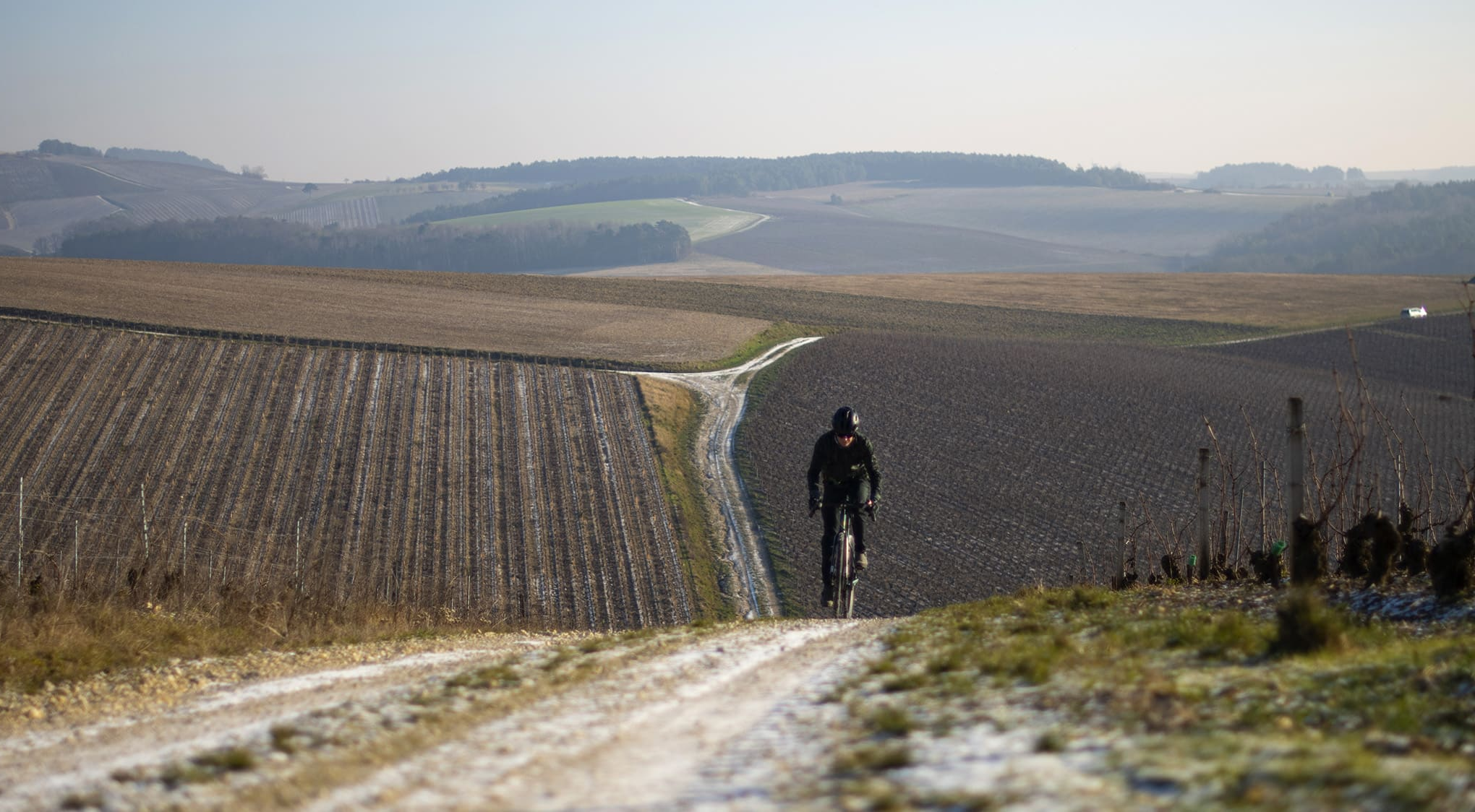
Hiking in Les Riceys is characterized by its picturesque vineyard landscapes, rolling hills, and the presence of traditional 'cadoles' – small stone huts found in the vineyards. The region's geology also contributes to a varied terrain, providing a distinct experience within the Aube department.
Are there easy hiking trails suitable for beginners or families in Les Riceys?
Yes, Les Riceys offers 5 easy hiking trails perfect for beginners or families. An excellent option is the Vineyards of Les Riceys – View of wineyards loop from Émetteur des Riceys, which is 3.6 miles (5.8 km) long and provides panoramic views over the vineyards without significant elevation changes.
Are there any circular hiking routes around Les Riceys?
Many of the trails around Les Riceys are circular, allowing you to start and end at the same point. A popular circular route is the Cadole – Wegkreuz loop from Les Riceys, which is 4.6 miles (7.5 km) long and passes by traditional cadoles.
What kind of views can I expect on hikes in Les Riceys?
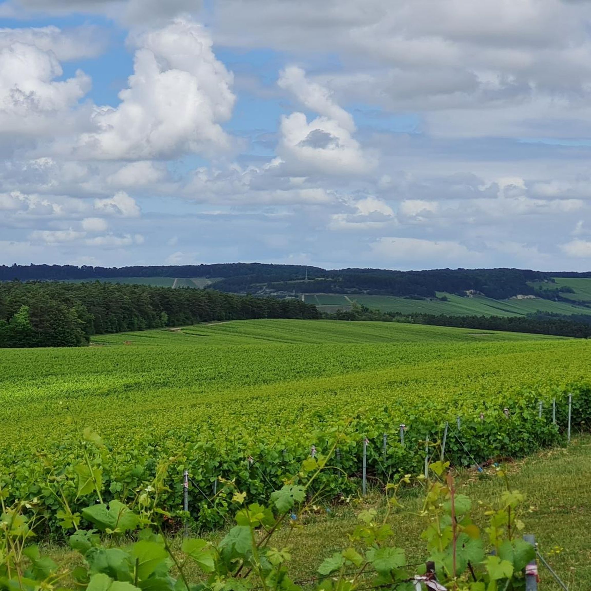
The primary views you'll encounter are expansive vineyards stretching across gentle hills, interspersed with patches of forest and agricultural land. Routes like the Vineyards of Les Riceys – View of wineyards loop from Émetteur des Riceys specifically highlight these panoramic vineyard vistas.
What are some interesting landmarks or places to see near the hiking trails?
While hiking, you can explore the charming village of Les Riceys itself, known for its three churches. Other nearby points of interest include the historic Sainte Beline Chapel and the Museum of the Resistance of Aube.
What is the best time of year to go hiking in Les Riceys?
The best time to hike in Les Riceys is typically from spring to autumn. Spring offers blooming landscapes, while autumn provides stunning colors in the vineyards and comfortable temperatures for walking. Summer is also pleasant, though it can be warmer.
Are there any longer or more challenging hikes for experienced hikers?
Yes, for experienced hikers looking for a longer challenge, the Courtenot Town Hall – View of wineyards loop from Les Riceys is an excellent option. This route spans 11.2 miles (18.1 km) and takes approximately 5 hours to complete, traversing varied vineyard and rural landscapes.
What do other hikers enjoy most about the trails in Les Riceys?
The trails in Les Riceys are highly rated by the komoot community, with an average score of 4.7 stars from over 30 reviews. Hikers frequently praise the beautiful vineyard scenery, the well-maintained paths, and the peaceful atmosphere of the Aube countryside.
Are there options for dog-friendly hikes in Les Riceys?
Many of the trails in Les Riceys are suitable for hiking with dogs, especially those that traverse vineyards and rural paths. It's always recommended to keep your dog on a leash, especially near agricultural areas or livestock, and to carry water for both yourself and your pet.
Is parking available at the trailheads in Les Riceys?
Yes, parking is generally available in and around the villages of Les Riceys, often near the starting points of popular trails. Specific parking details can usually be found on individual route descriptions on komoot or local signage.
Are there any moderate difficulty trails around Les Riceys?
Yes, the majority of trails in Les Riceys are rated as moderate, offering a good balance of distance and elevation. The Courtenot Town Hall – Saint John the Baptist Church loop from Les Riceys is a moderate 6.6-mile (10.6 km) route that provides a rewarding experience through the local landscape.
Most popular routes around Les Riceys
Most popular attractions around Les Riceys

Get inspired with the komoot mobile app


Explore more
Browse the best Hikes in other regions.
