The best walks and hikes around Cernay-Lès-Reims
4.4
(536)
3,330
hikers
226
hikes
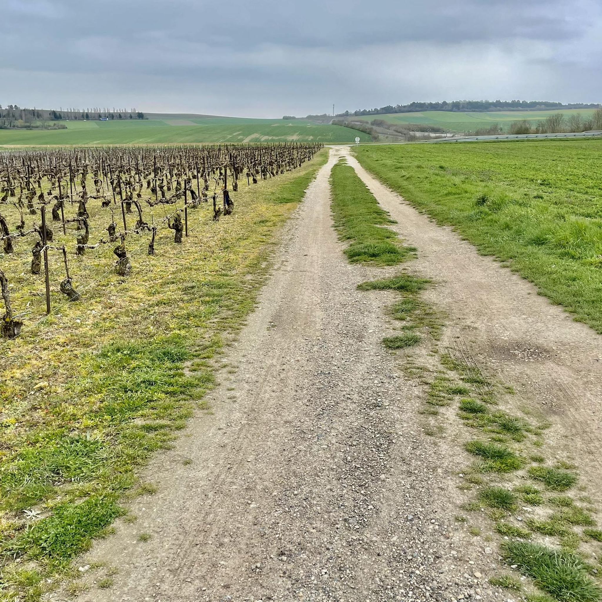
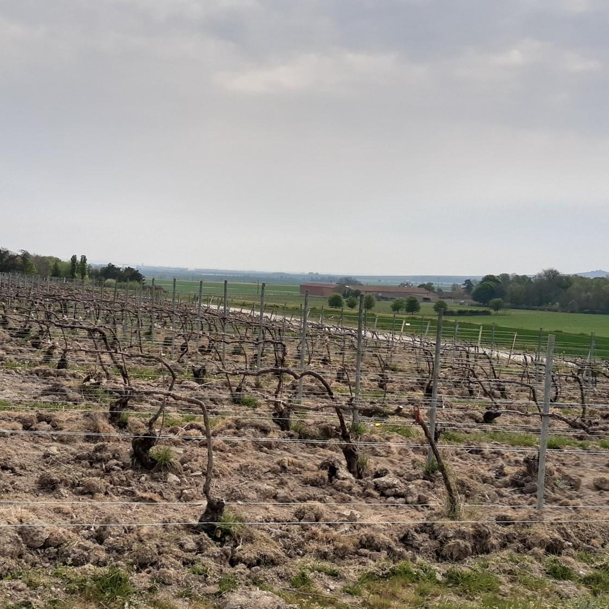
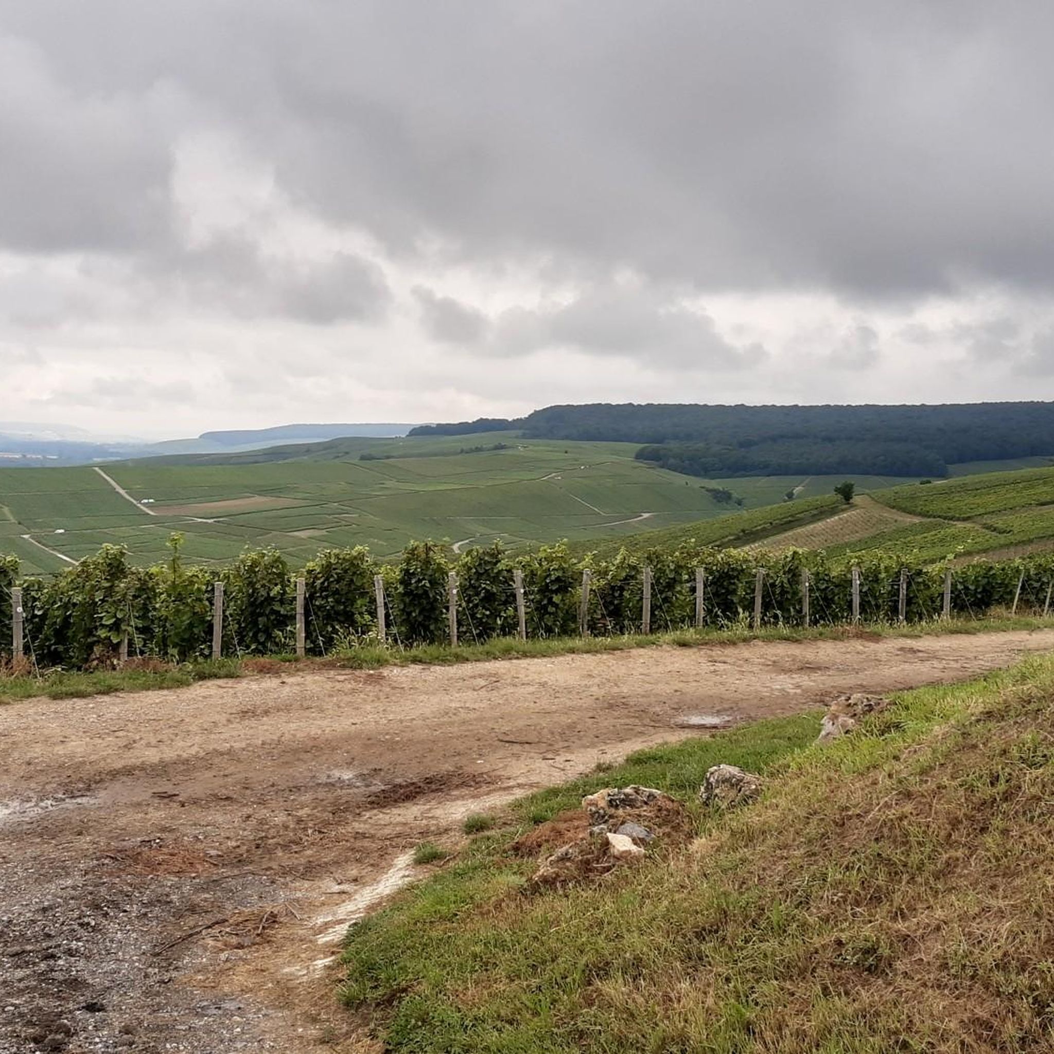
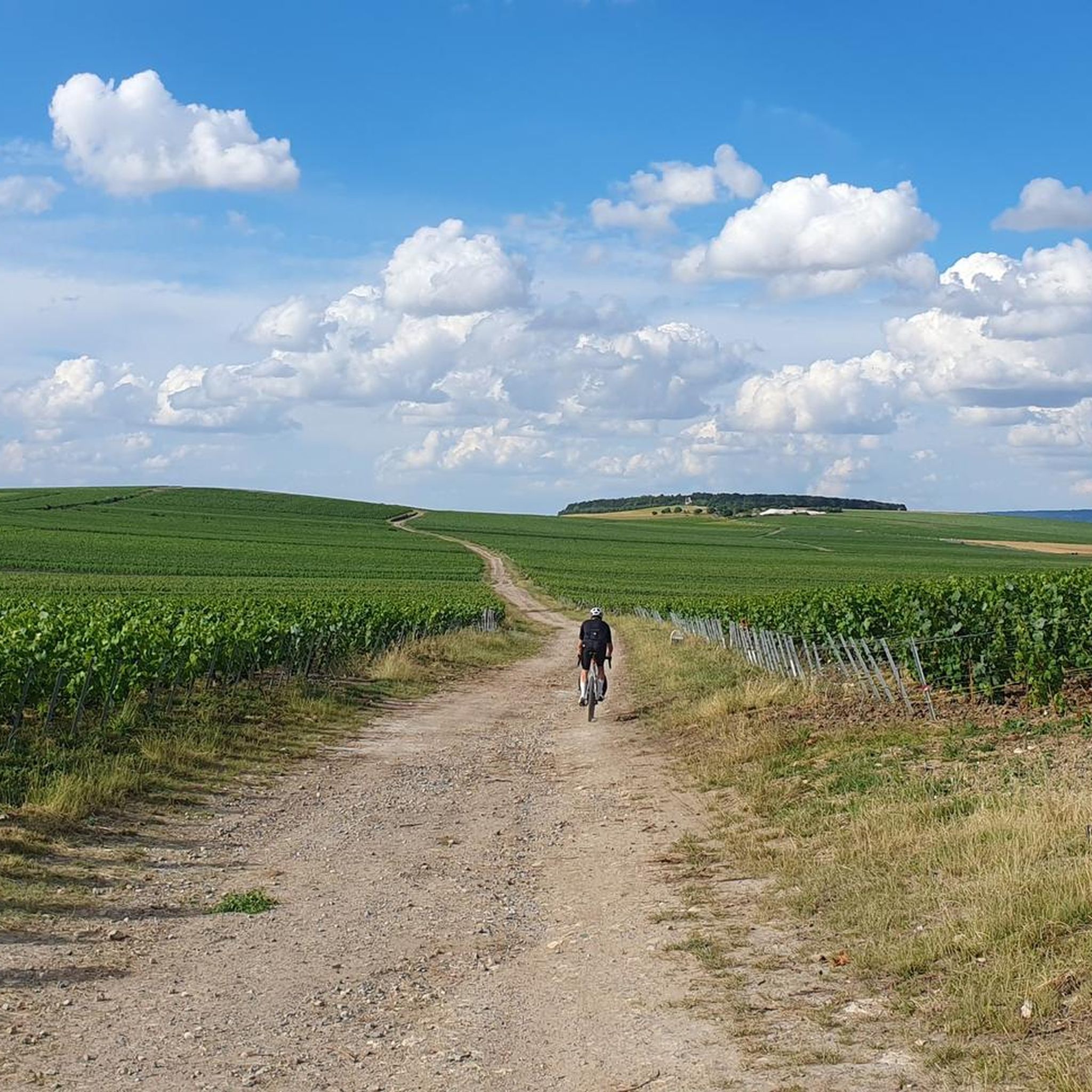
Hiking trails around Cernay-lès-Reims are primarily located within the Montagne de Reims Regional Nature Park, offering a diverse landscape of vineyards, forests, and significant natural features. The region is characterized by rolling hills, including Mont de Berru at 267 meters, and unique chalk pits. This area provides varied terrain for outdoor activities, from shaded forest paths to open vineyard vistas.
Best hiking trails around Cernay-lès-Reims
- The most popular hiking route is Berru sandpit loop from Cernay-lès-Reims, a 8.4 miles…
Last updated: July 5, 2026
4.5
(10)
38
hikers
13.4km
03:40
200m
200m
Moderate hike. Good fitness required. Easily-accessible paths. Suitable for all skill levels.
5.0
(2)
23
hikers
10.2km
02:34
20m
20m
Moderate hike. Good fitness required. Easily-accessible paths. Suitable for all skill levels.

Sign up for free
4.0
(1)
12
hikers
8.46km
02:19
130m
130m
Moderate hike. Good fitness required. Easily-accessible paths. Suitable for all skill levels.
4.0
(1)
29
hikers
Easy hike. Great for any fitness level. Easily-accessible paths. Suitable for all skill levels.
4.5
(4)
10
hikers
7.62km
02:04
110m
110m
Moderate hike. Good fitness required. Easily-accessible paths. Suitable for all skill levels.
Get access to more routes and recommendations from other explorers.
Sign up for free
Already have an account?
Our route recommendations are based on thousands of hikes, rides, and runs completed by other people on komoot.
Start today with a free account
Your next adventure awaits.
Login or Signup

Tips from the Community

The sight of hundreds of war graves is moving, but it also inspires confidence in a Europe that has learned from the tragedies of its history.
0
0

The cycle path offers the possibility to park outside and cycle into the city in a relaxed manner.
0
0

A lovely walk, but also a great place for cycling. You can watch the rowers on the canal.
0
0

The Coulée verte de Reims is a beautiful green strip that stretches for about 24 kilometers along the banks of the canal and the River Vesle. This green corridor offers a variety of recreational options, such as walking, cycling, and jogging. The area has been carefully landscaped to facilitate both relaxation and sporting activities.
11
1
On the other side of the bank is the cycle path along which the V30 (Véloroute de la Somme à la Marne) runs.
8
0

Cimetière military de Sillery is a military cemetery in the municipality of Sillery, in the Grand Est region. It is one of the largest French necropolises from the First World War, with 11,259 graves of soldiers who died mainly in the defense of Reims, a city that symbolizes the Great War. The cemetery was constructed between 1923 and 1933, and also contains a monument to the 97th division, a mausoleum for the fallen without a grave, and a memorial stone for Lumir Brezovsky, the first Czechoslovak volunteer who died in 1914. The cemetery is a place of memory and tribute to the victims of the bloody battles of Champagne.
9
0

Frequently Asked Questions
How many hiking trails are available around Cernay-lès-Reims?
There are over 220 hiking routes around Cernay-lès-Reims, primarily located within the Montagne de Reims Regional Nature Park. These trails offer a diverse range of experiences, from easy strolls to more challenging moderate hikes.
What types of landscapes can I expect to see while hiking in this region?
The region offers a rich tapestry of landscapes, including picturesque vineyards, lush forests, and rolling hills. You'll also encounter unique features like historic chalk pits and the significant ecological site of Mont de Berru, providing varied scenery for your walks.
Are there easy hiking options suitable for beginners or families?
Yes, Cernay-lès-Reims offers many easy hiking options. Out of the over 220 routes, 142 are classified as easy. An example is the Coulée Verte de Reims – Canal de l'Aisne à la Marne loop from Reims, an easy 7.4 km path, or the Hiking loop from Berru, which is 5.2 km and also easy.
What are some notable natural features or attractions to look out for on the trails?
Hikers can explore the unique chalk pits, which offer panoramic views, or discover the ecological richness of Mont de Berru, a Natura 2000 site. The Coulée Verte de Reims, a green corridor along the canal, is also a popular spot for walking. Additionally, the 'Îlot de Fraîcheur' offers a refreshing retreat with orchards and relaxation zones.
Can I bring my dog on the hiking trails around Cernay-lès-Reims?
Many trails within the Montagne de Reims Regional Nature Park are dog-friendly, but it's always recommended to keep your dog on a leash, especially in areas with wildlife or near vineyards. Always check local signage for specific restrictions.
Are there any circular hiking routes available?
Yes, many of the trails around Cernay-lès-Reims are circular, offering convenient starting and ending points. For instance, the Hiking loop from Cernay-lès-Reims is an 8.5 km moderate route that takes you through local forests and open landscapes.
What do other hikers say about the trails in Cernay-lès-Reims?
The hiking trails in Cernay-lès-Reims are highly rated by the komoot community, with an average score of 4.4 stars from over 480 reviews. Hikers often praise the diverse scenery, well-maintained paths, and the peaceful atmosphere of the Montagne de Reims Regional Nature Park.
Is public transport available to access hiking trailheads?
While Cernay-lès-Reims itself has limited public transport options directly to trailheads, the nearby city of Reims is well-connected. From Reims, you may find local bus services or other transport to reach specific starting points within the Montagne de Reims Regional Nature Park. Planning ahead is advisable.
Are there any historical sites or landmarks near the hiking routes?
Yes, some routes, like the Sillery National Necropolis loop from Taissy, offer views of historical sites. In the broader Reims area, you can find significant landmarks such as Place Royale, the Subé fountain, and the ancient Mars Gate.
What kind of wildlife can be observed in the Montagne de Reims Regional Nature Park?
The Montagne de Reims Regional Nature Park is rich in biodiversity. It is home to 59 species of insects, 36 mammal species, and 22 species of fish and crustaceans. Protected amphibians, birds, and reptiles also inhabit the park, with specific areas like Mont de Berru known for species such as the black woodpecker, sand lizard, marten, and marsh fritillary butterfly.
Are there any specific regulations or permits needed for hiking in the Montagne de Reims Regional Nature Park?
Generally, no specific permits are required for hiking on marked trails within the Montagne de Reims Regional Nature Park. However, it's always important to respect local regulations, stay on marked paths, and protect the natural environment. For detailed information on park rules, you can consult the official Montagne de Reims Regional Nature Park website.
What is the best time of year to go hiking around Cernay-lès-Reims?
The spring and autumn months are generally ideal for hiking around Cernay-lès-Reims. Spring brings blooming wildflowers and pleasant temperatures, while autumn offers stunning vineyard colors. Summer can also be enjoyable, especially in the shaded forest areas, but be prepared for warmer weather. Winter hikes are possible, though some paths might be muddy or slippery.
Most popular routes around Cernay-Lès-Reims
Most popular attractions around Cernay-Lès-Reims

Get inspired with the komoot mobile app


Explore more
Browse the best Hikes in other regions.
