The best walks and hikes around Maursmünster
4.6
(1730)
8,799
hikers
34
hikes
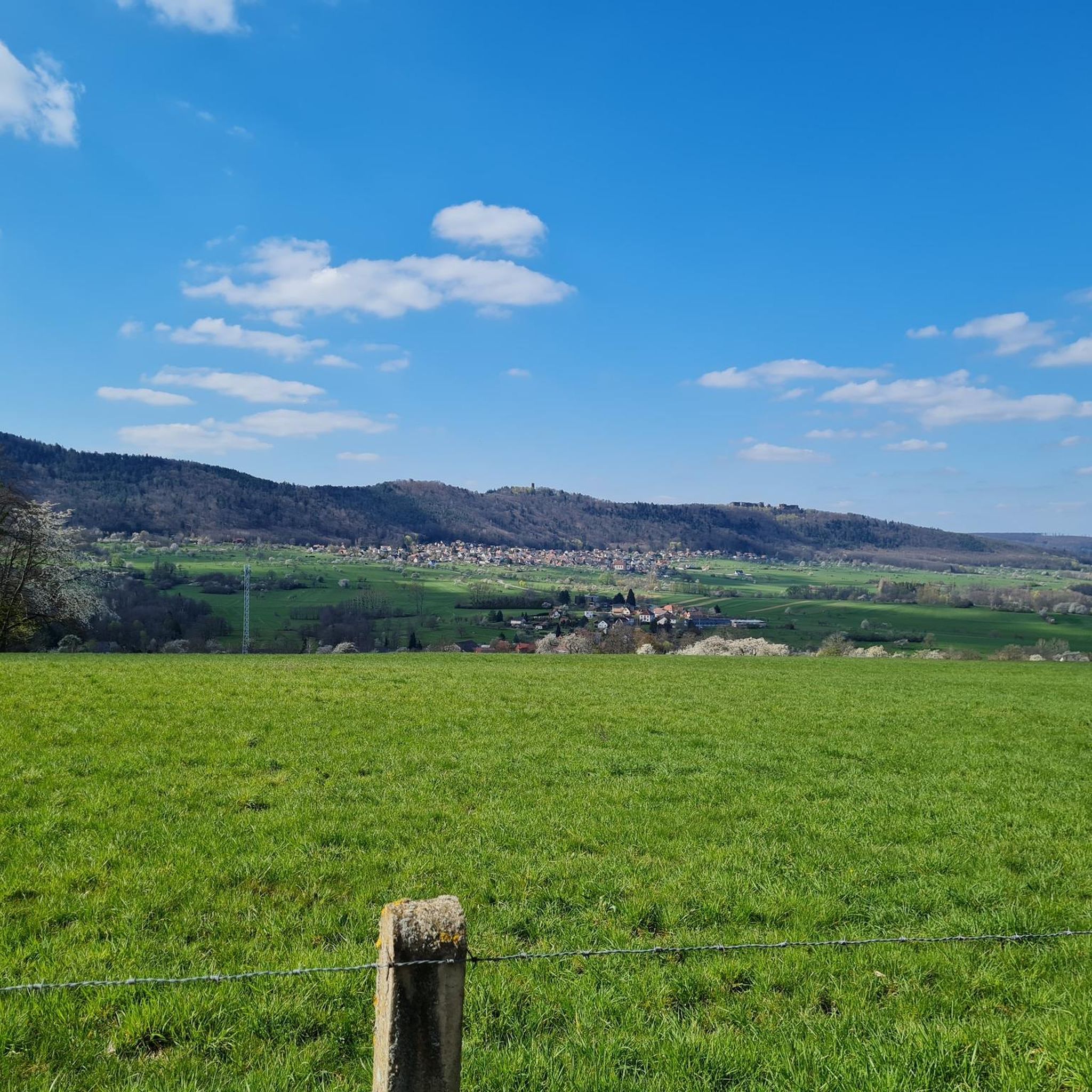
Hiking around Maursmünster, officially Marmoutier, in the Bas-Rhin department of Grand Est, northeastern France, offers diverse landscapes for outdoor activities. The region features wooded hills, extensive forests, and orchards, characteristic of the Vosges piedmont. Hikers can explore a variety of terrain, from gentle slopes to higher elevations with panoramic views, often encountering impressive rock formations and historical ruins.
Best hiking trails around Maursmünster
- The most popular hiking route is Ochsenstein Castle – Krappenfels Pass loop from Reinhardsmunster, a 10.7…
Last updated: July 9, 2026
4.9
(40)
203
hikers
17.2km
05:21
660m
660m
Hard hike. Very good fitness required. Easily-accessible paths. Suitable for all skill levels.
4.3
(3)
38
hikers
11.9km
03:19
240m
240m
Moderate hike. Good fitness required. Easily-accessible paths. Suitable for all skill levels.

Sign up for free
5.0
(3)
34
hikers
12.6km
03:32
240m
240m
Moderate hike. Good fitness required. Easily-accessible paths. Suitable for all skill levels.
4.0
(2)
15
hikers
10.1km
02:51
220m
220m
Moderate hike. Good fitness required. Easily-accessible paths. Suitable for all skill levels.
5.0
(3)
20
hikers
29.2km
08:33
810m
810m
Hard hike. Very good fitness required. Easily-accessible paths. Suitable for all skill levels.
Get access to more routes and recommendations from other explorers.
Sign up for free
Already have an account?
Our route recommendations are based on thousands of hikes, rides, and runs completed by other people on komoot.
Start today with a free account
Your next adventure awaits.
Login or Signup

Tips from the Community

Old Telegraph, a visit is possible during the summer months
0
0


This small castle is nowhere near as impressive as its two neighboring castles. But the climb is still worth it.
0
0

Unfortunately, the stairs to the Petit Ochsenstein have been dismantled 😢
0
0
Unfortunately, the iron ladder at the Petit Ochsenstein was dismantled 😢
0
0

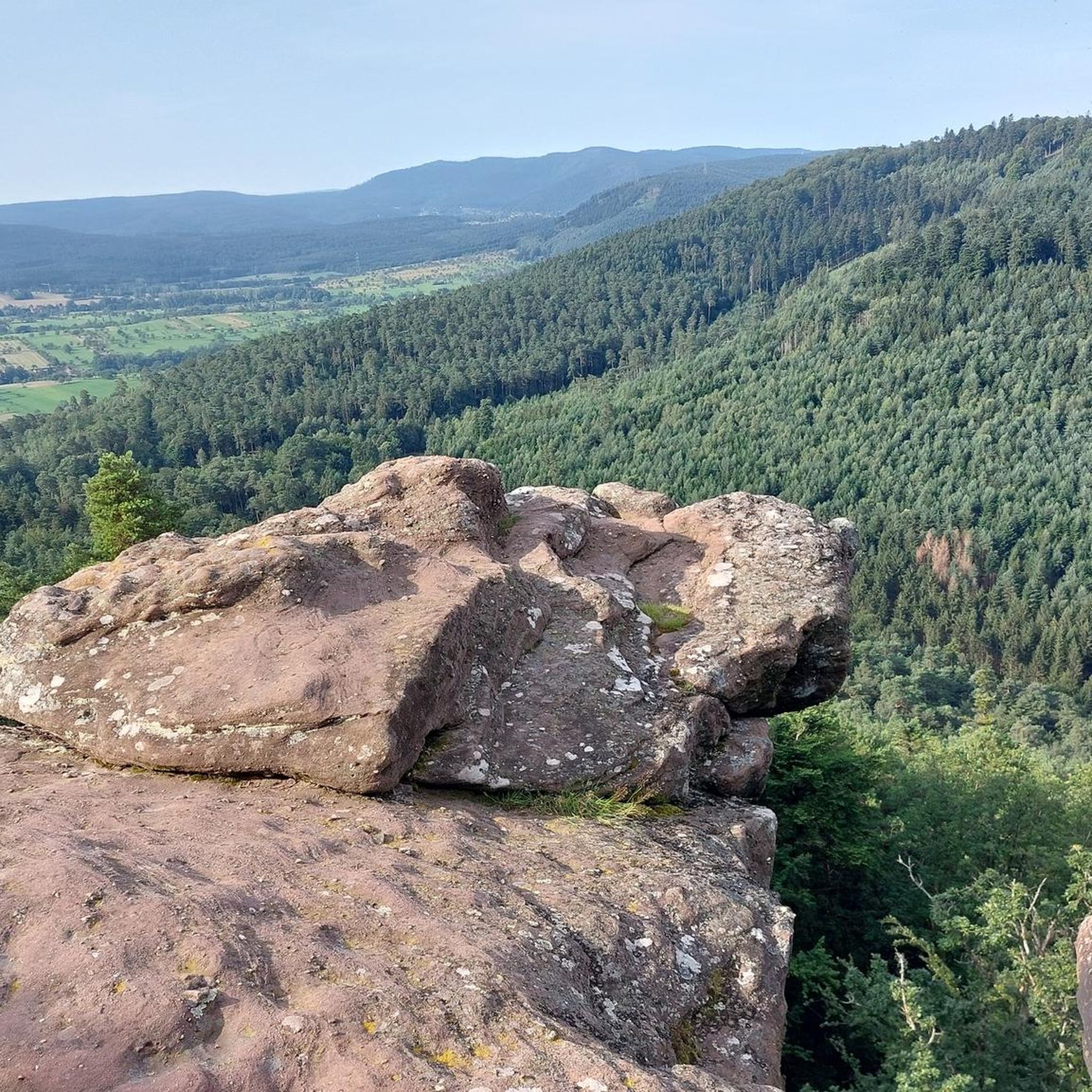
Be sure to climb the Krappenfels here. The view of Dabo is fantastic. The few meters of elevation gain are definitely worth it.
0
0
Unfortunately, the stairs up to the observation tower are closed. At least, that was the case today, September 17, 2025. However, I expect this closure to last longer. Nevertheless, the structure is worth seeing.
0
0

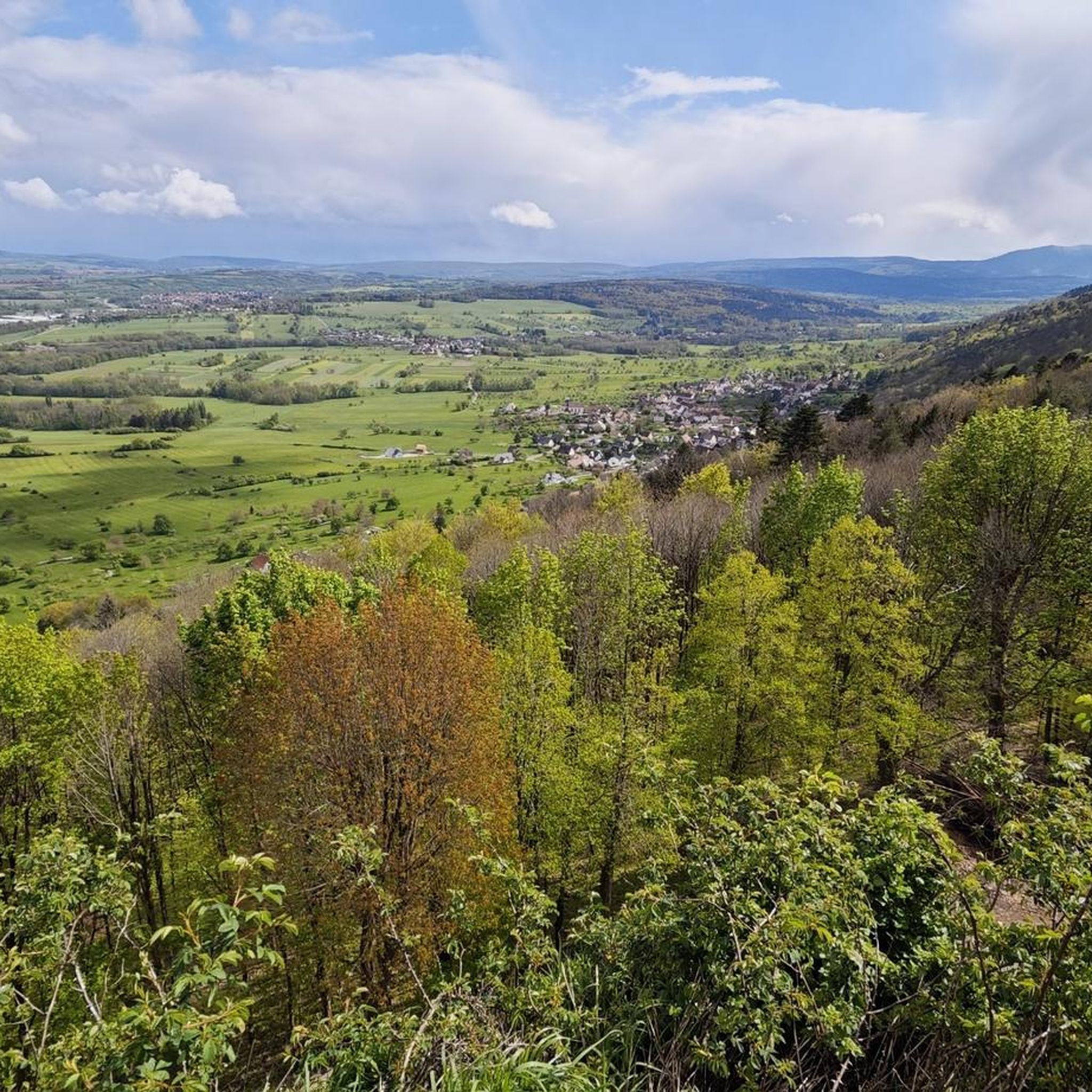
Elongated rock castle above the Zorn valley, southwest of Saverne. After a varied history, it has been state property for approx. 150 years. Varied structures from different eras in the inner courtyard. Great view over the Rhine valley and the northern Vosges.
3
0
Frequently Asked Questions
How many hiking trails are available around Maursmünster?
There are over 30 hiking routes available around Maursmünster, catering to various preferences and skill levels. These include a mix of easy, moderate, and difficult trails through the region's diverse landscapes.
Are there any circular hiking routes in Maursmünster?
Yes, many trails around Maursmünster are circular, allowing you to start and end at the same point. For example, the Marmoutier Abbey Church – View of Saverne loop from Marmoutier is a popular moderate circular route, and the View of Saverne – Pine Forest loop from Thal-Marmoutier offers an easier option.
What kind of terrain and elevation can I expect on hikes near Maursmünster?
The terrain around Maursmünster is characterized by wooded hills, extensive forests, and orchards, typical of the Vosges piedmont. You'll find a range of elevations, from gentle slopes suitable for easy walks to more challenging routes with significant elevation gains, such as the Ochsenstein Castle – Krappenfels Pass loop from Reinhardsmunster which features over 650 meters of ascent.
What notable landmarks or viewpoints can I discover on the hiking trails?
Hiking trails around Maursmünster often lead to impressive rock formations and historical sites. You can explore the ruins of Ochsenstein Castle and enjoy stunning vistas from the Krappenfels. Other notable viewpoints include Rappen Rock and the Brotschberg Observation Tower. The Marmoutier Abbey Church – View of Saverne loop from Marmoutier also offers views of Saverne.
Are there family-friendly hiking options in the Maursmünster area?
Yes, Maursmünster offers several easy trails suitable for families. The Tannenwald Forest, with its gentle slopes, is particularly well-suited for leisurely walks. Routes like the View of Saverne – Pine Forest loop from Thal-Marmoutier are considered easy and can be a good choice for families.
What is the best time of year to go hiking in Maursmünster?
The region is beautiful throughout the warmer months. Spring brings blooming orchards and fresh greenery, while autumn offers vibrant fall foliage in the extensive forests. Summer is also popular, but it's advisable to start early to avoid the midday heat on longer routes.
Are there dog-friendly trails around Maursmünster?
Many of the trails in the Maursmünster region are suitable for hiking with dogs, especially those through the Tannenwald Forest and other wooded areas. It's always recommended to keep dogs on a leash, especially near wildlife or in agricultural areas, and to check local regulations for specific routes.
Where can I find parking for hiking trails in Maursmünster?
Parking is generally available at the starting points of many popular trails and in the villages surrounding Maursmünster, such as Marmoutier and Reinhardsmunster. Specific parking information is often detailed on individual route descriptions on komoot.
What do other hikers enjoy most about hiking in Maursmünster?
The area is highly rated by the komoot community, with an average score of 4.6 stars from over 1500 reviews. Reviewers often praise the diverse landscapes, the mix of historical sites and natural beauty, and the well-maintained network of trails that cater to various fitness levels.
Can I reach hiking trailheads in Maursmünster using public transport?
While public transport options exist to reach Maursmünster (Marmoutier) itself, access to specific trailheads outside the main villages might be limited. It's advisable to check local bus schedules or consider driving to the starting points of more remote routes.
Are there any easy hiking trails suitable for beginners or a relaxed walk?
Yes, there are several easy trails perfect for beginners or those seeking a relaxed walk. The Tannenwald Forest offers gentle paths, and routes like the View of Saverne – Pine Forest loop from Thal-Marmoutier are classified as easy, providing pleasant experiences without significant elevation challenges.
What kind of natural features can I expect to see on the trails?
Beyond the extensive forests and orchards, you'll encounter impressive rock formations like the Krappenfels, which offers panoramic views. The region's diverse natural environment includes rolling hills and varied flora and fauna, especially within the Tannenwald Forest and the foothills of the Vosges piedmont.
Most popular routes around Maursmünster
Most popular attractions around Maursmünster

Get inspired with the komoot mobile app


Explore more
Browse the best Hikes in other regions.
