The best walks and hikes around Oissery
4.5
(132)
720
hikers
53
hikes
Hiking around Oissery offers access to a landscape characterized by regional forests and agricultural fields. The terrain is generally gentle, with modest elevation changes, making it suitable for various activity levels. Trails often traverse woodlands and open countryside, providing opportunities to experience the local natural environment. The region's routes are well-suited for exploring the rural setting of Seine-et-Marne.
Best hiking trails around Oissery
- The most popular hiking route is Forêt régionale de Montgé loop from Cuisy, a 4.3 miles…
Last updated: July 2, 2026
5.0
(1)
2
hikers
24.8km
06:31
200m
210m
Hard hike. Very good fitness required. Easily-accessible paths. Suitable for all skill levels.
4.7
(6)
37
hikers
6.87km
01:50
70m
70m
Easy hike. Great for any fitness level. Easily-accessible paths. Suitable for all skill levels.

Sign up for free
4.7
(3)
13
hikers
12.7km
03:28
190m
190m
Moderate hike. Good fitness required. Easily-accessible paths. Suitable for all skill levels.
2.5
(2)
8
hikers
8.30km
02:14
100m
100m
Moderate hike. Good fitness required. Easily-accessible paths. Suitable for all skill levels.
2.0
(1)
5
hikers
8.90km
02:17
30m
30m
Moderate hike. Good fitness required. Easily-accessible paths. Suitable for all skill levels.
Get access to more routes and recommendations from other explorers.
Sign up for free
Already have an account?
Our route recommendations are based on thousands of hikes, rides, and runs completed by other people on komoot.
Start today with a free account
Your next adventure awaits.
Login or Signup

Tips from the Community

Nice, yes, calm and peaceful... 4 km in line with the runway of CDG airport, the noise of planes taking off every 2 minutes at an altitude of a few hundred meters is infernal, even during breaks. How the locals manage 24/7 is beyond me...
0
0

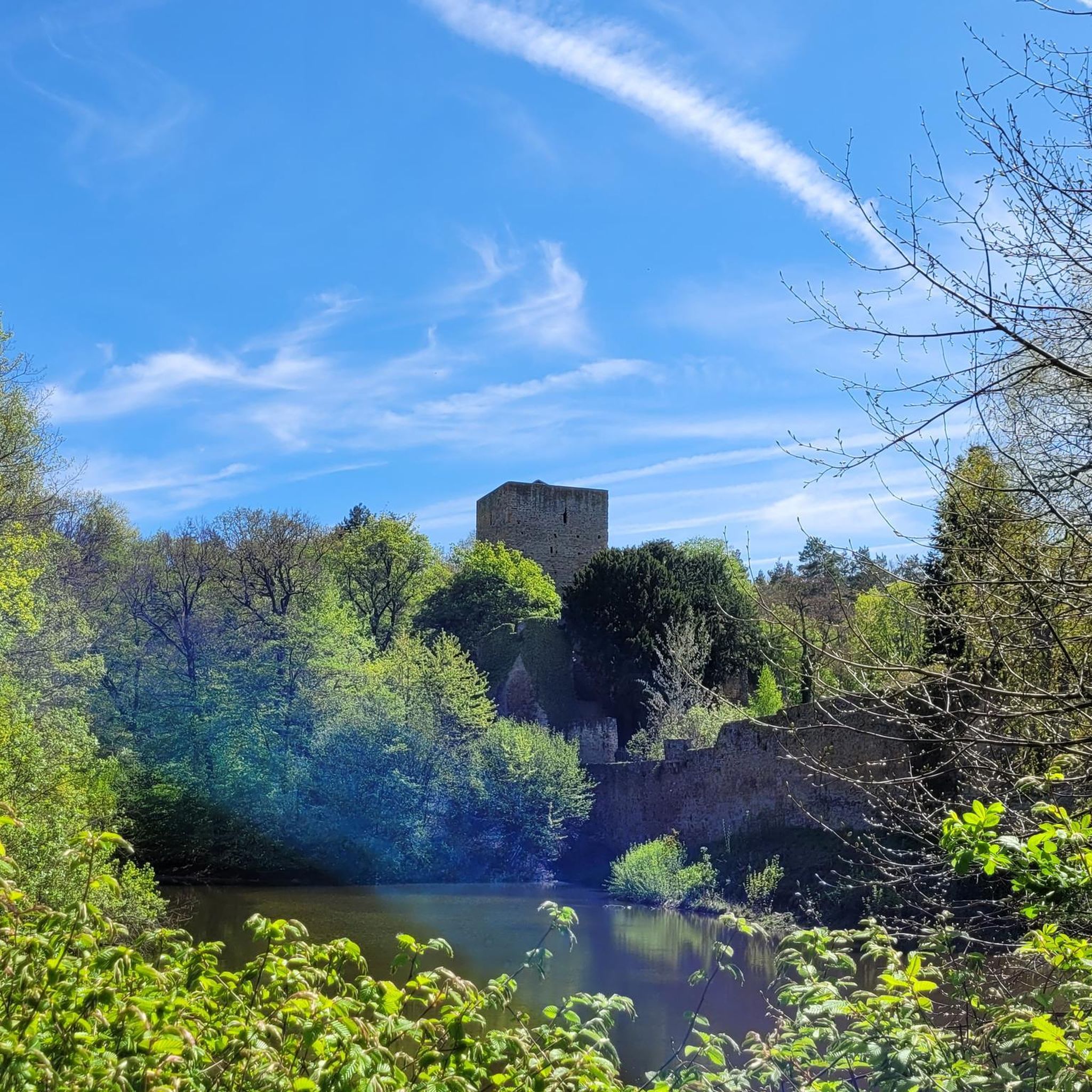
Superb in spring!
0
0


Imposing Renaissance-style castle dating from the 16th century, classified as a historical monument despite its degraded state.
1
0

Ballad in paths, accessible to all.
0
0

A Renaissance castle of which there is not much left: https://fr.wikipedia.org/wiki/Ch%C3%A2teau_de_Nantouillet
1
1

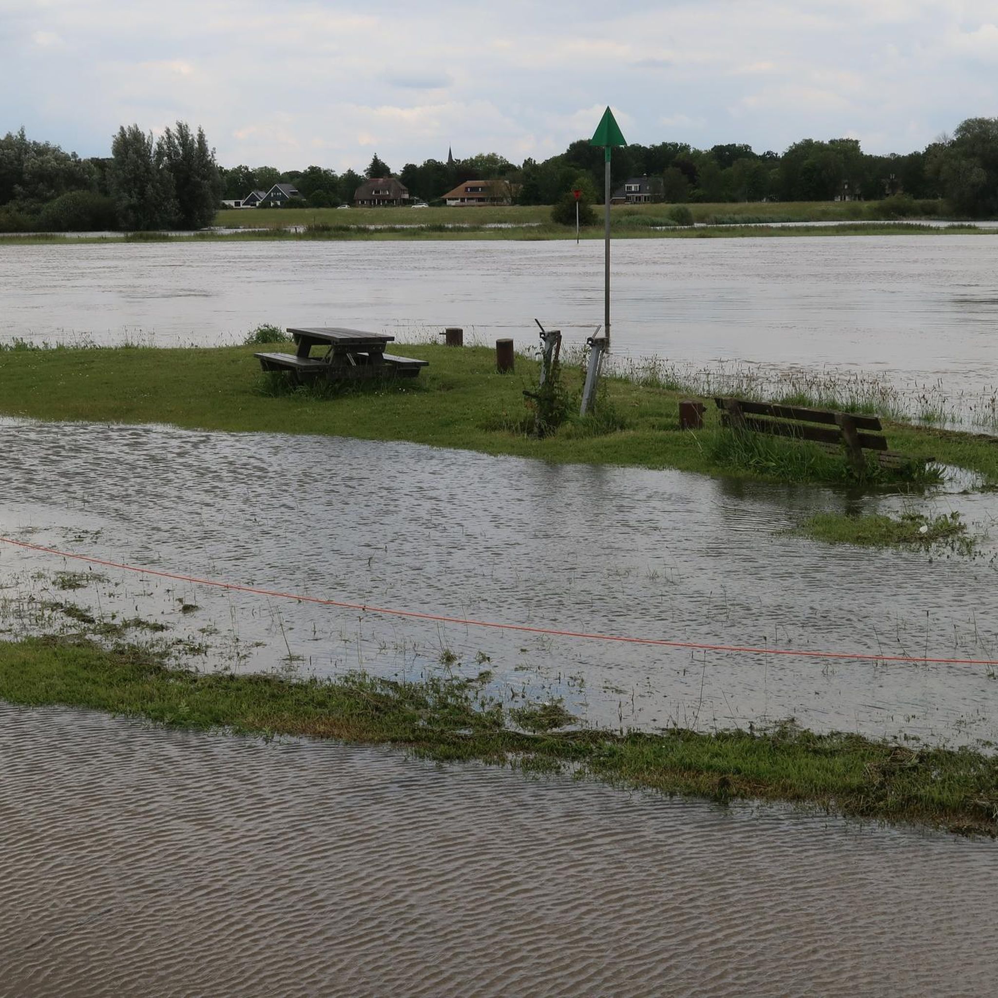
The Etang de la Grue is part of the municipality of Monthyon. It is a site very frequented by fishermen and therefore peaceful. It is an ideal place to refuel and observe the body of water.
1
0
Frequently Asked Questions
How many hiking trails are available around Oissery?
There are over 45 hiking trails around Oissery, offering a variety of options for different skill levels. This includes 20 easy routes and 24 moderate trails.
Are there easy hiking trails suitable for beginners or families in Oissery?
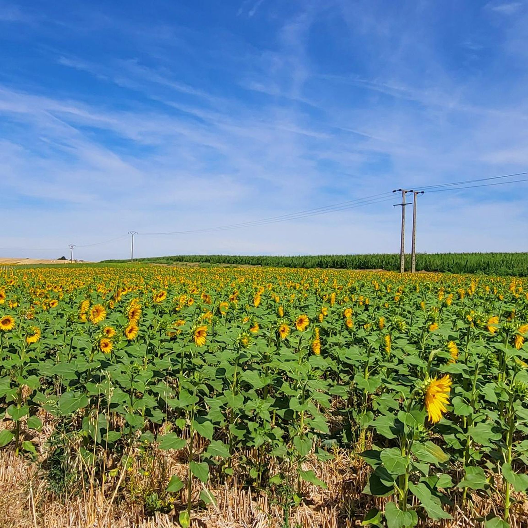
Yes, Oissery offers several easy hiking trails perfect for beginners and families. For example, the Forêt régionale de Montgé loop from Cuisy is an easy 4.3-mile (6.9 km) route through tranquil woodlands. Another great option is the Sunflower fields loop from Oissery, which is 3.6 miles (5.7 km) and also considered easy.
What is the typical length of hiking trails around Oissery?
The hiking trails around Oissery vary in length. Many popular routes range from 3 to 8 miles (5 to 13 km). For instance, the Forêt régionale de Montgé loop from Montgé-en-Goële is 4.6 miles (7.4 km), while the Mémorial US air force loop from Montgé-en-Goële extends to 7.9 miles (12.7 km).
Are dogs allowed on the hiking trails around Oissery?
Generally, dogs are welcome on hiking trails in the Oissery region, especially in rural and forest areas, provided they are kept under control, often on a leash. It's always a good idea to check specific local regulations or signage, particularly in nature reserves or protected areas.
What kind of terrain can I expect on hikes in Oissery?
The terrain around Oissery is characterized by gentle rolling hills, regional forests, and open agricultural fields. You can expect mostly well-maintained paths, forest tracks, and country lanes, with modest elevation changes, making it suitable for various activity levels.
Are there any circular hiking routes in Oissery?
Yes, many of the hiking routes around Oissery are circular, allowing you to start and end at the same point. Examples include the Forêt régionale de Montgé loop from Cuisy and the Sunflower fields loop from Saint-Pathus, both offering convenient loop options.
What can I see along the hiking trails around Oissery?
Beyond the natural beauty of forests and fields, you can discover historical landmarks and points of interest. Notable attractions include the impressive Château d'Ermenonville and the historic Nantouillet Castle. The region also features unique natural spots like Les Bruyères de Frais-Vent.
What do other hikers enjoy most about hiking in Oissery?
The Oissery region is highly rated by the komoot community, with an average score of 4.5 stars from over 100 reviews. Hikers often praise the tranquil woodland experiences, the peaceful open countryside, and the well-suited routes for exploring the rural setting of Seine-et-Marne.
Is public transport available to reach hiking trailheads in Oissery?
While Oissery is a rural area, some local bus services might connect to nearby towns. However, for direct access to many trailheads, especially those deeper in the countryside, driving is often the most convenient option. It's advisable to check local bus schedules for specific routes.
Are there any cafes or places to eat near the hiking trails in Oissery?
Oissery and its surrounding villages offer local amenities, including cafes and small restaurants where you can refuel after your hike. It's recommended to check opening hours in advance, especially in smaller communities, or pack your own refreshments for longer excursions.
What is the best season for hiking around Oissery?
Hiking around Oissery is enjoyable throughout much of the year. Spring brings blooming fields and fresh forest air, while autumn offers beautiful foliage. Summer is pleasant, especially in the shaded forest sections. Winter hikes are also possible, though paths might be muddy or occasionally frosty.
Most popular attractions around Oissery

Get inspired with the komoot mobile app


Explore more
Browse the best Hikes in other regions.
