The best mountain hikes around Égliseneuve-D'Entraigues
4.5
(7)
42
hikers
3
hikes
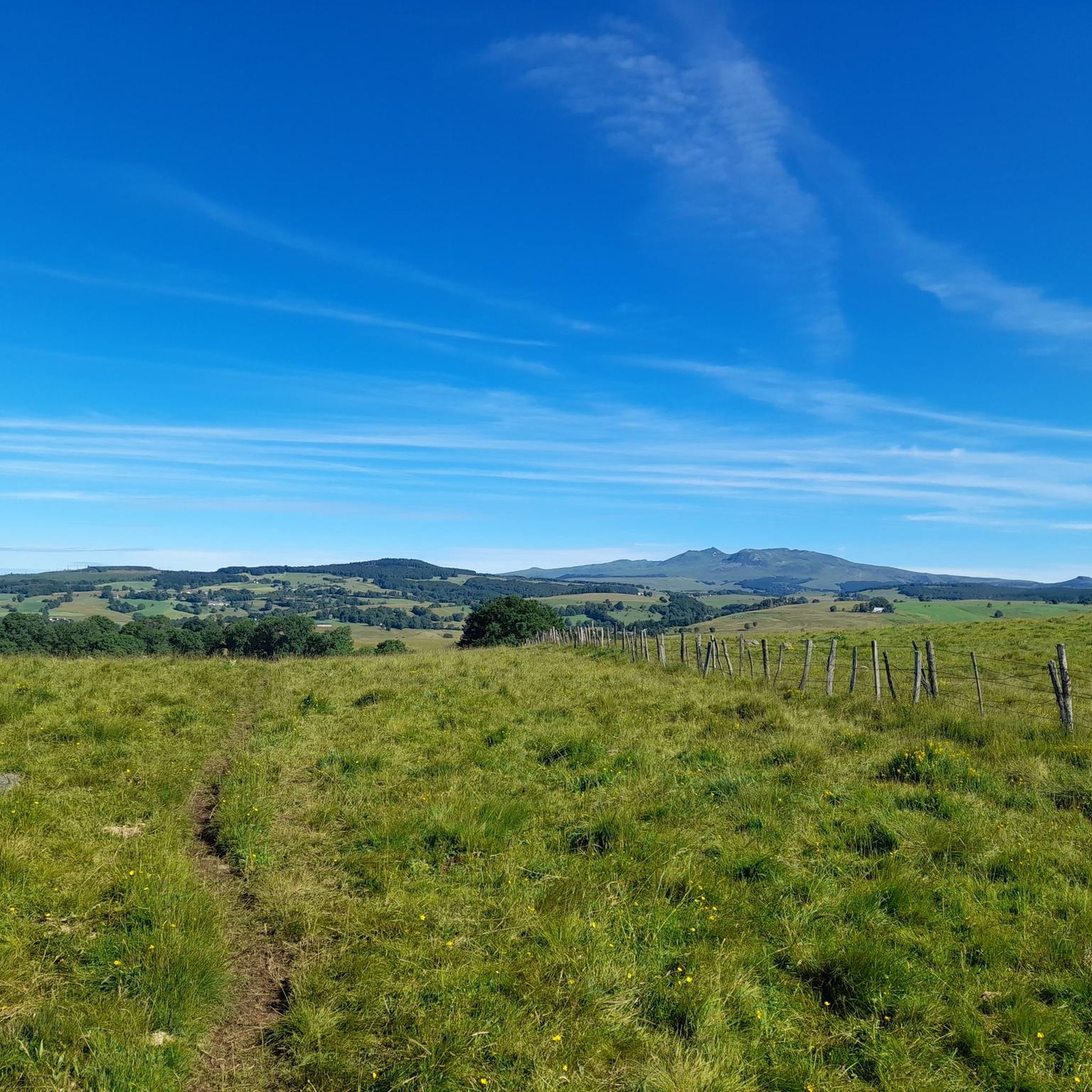
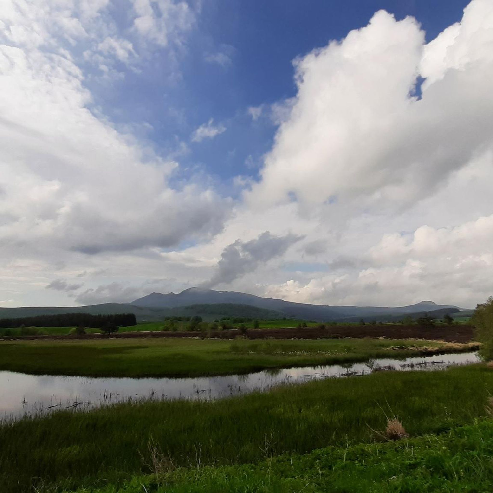
Mountaineering routes around Égliseneuve-D'Entraigues are situated within the Auvergne Volcanoes Regional Natural Park, offering a diverse and rugged natural landscape. The area is characterized by its volcanic origins, featuring high-altitude peaks such as Puy Redon and Puy des Crebasses, and distinctive formations like the Dent de la Rancune. The Artense plateau, at over 1000 meters, provides expansive views of the Puy de Sancy and the Cantal Massif, with varied terrain including pastures, peat bogs, and forests.
Best mountaineering routes around…
Last updated: October 30, 2026
4.3
(4)
19
hikers
8.04km
03:00
510m
510m
Moderate mountaineering route. Good fitness required. Mostly walkable paths. Sure-footedness required.
4.7
(3)
9
hikers
11.0km
04:23
580m
580m
Moderate mountaineering route. Good fitness required. Mostly walkable paths. Sure-footedness required.

8
hikers
6.49km
02:36
510m
510m
Moderate mountaineering route. Good fitness required. Easily walkable paths.
4
hikers
5.60km
01:44
210m
210m
Easy mountaineering route. Easily walkable paths.
3
hikers
18.3km
06:09
860m
860m
Hard mountaineering route. Very good fitness required. Mostly walkable paths. Sure-footedness required.
Our route recommendations are based on thousands of hikes, rides, and runs completed by other people on komoot.
Start today with a free account
Your next adventure awaits.
Popular around Égliseneuve-D'Entraigues
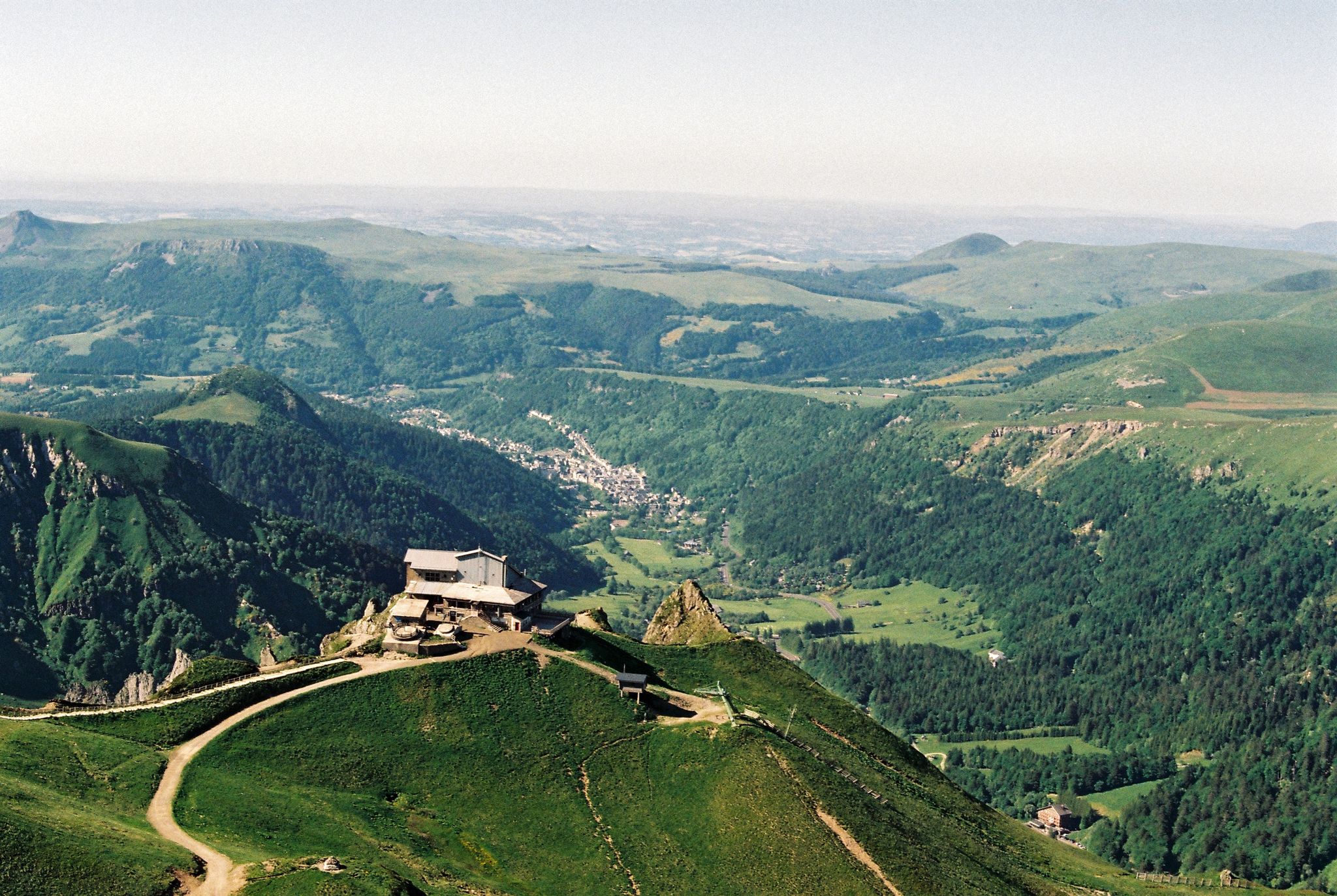
Crossing the volcanoes of Auvergne – Stromboliens, peléens and maars
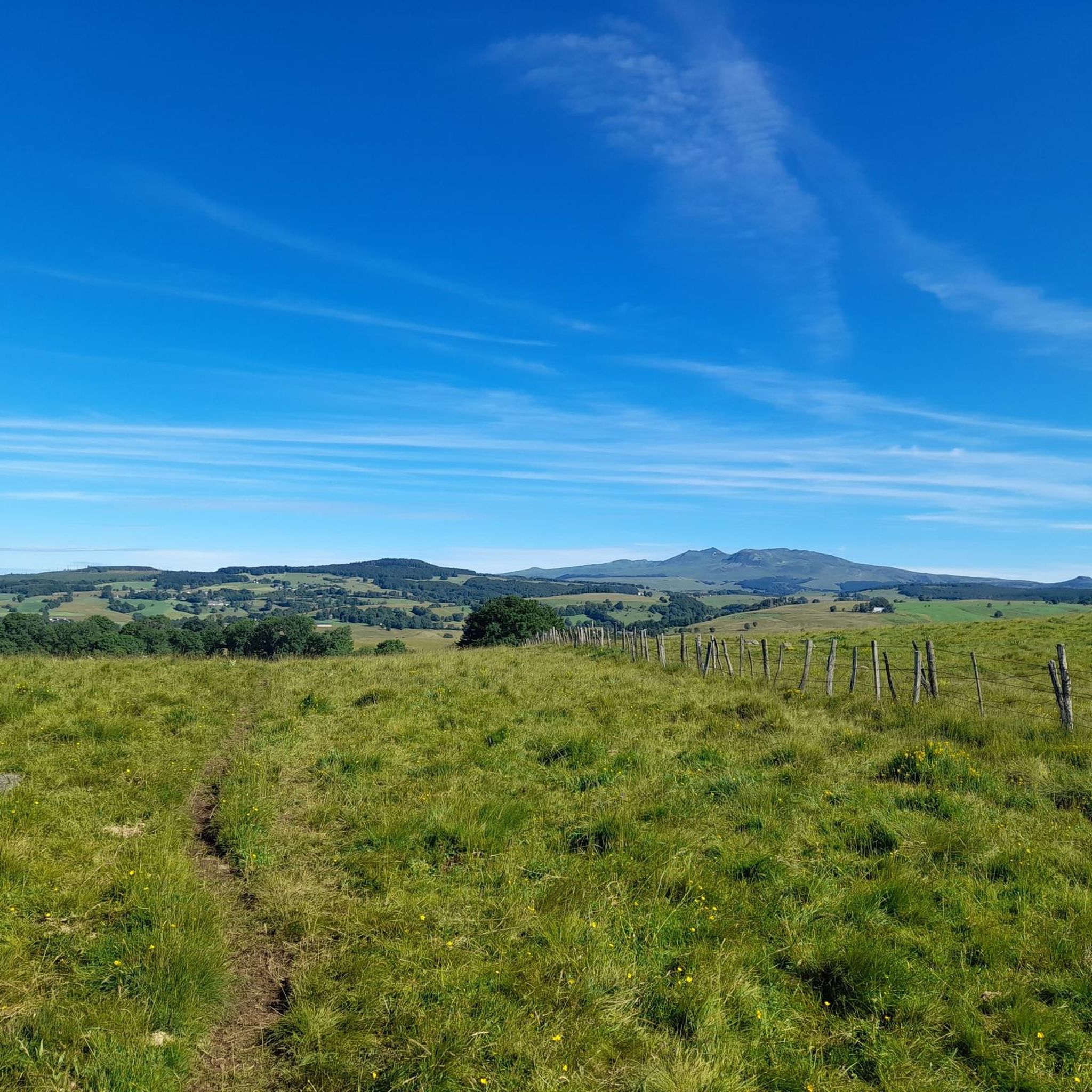
Hiking around Égliseneuve-D'Entraigues
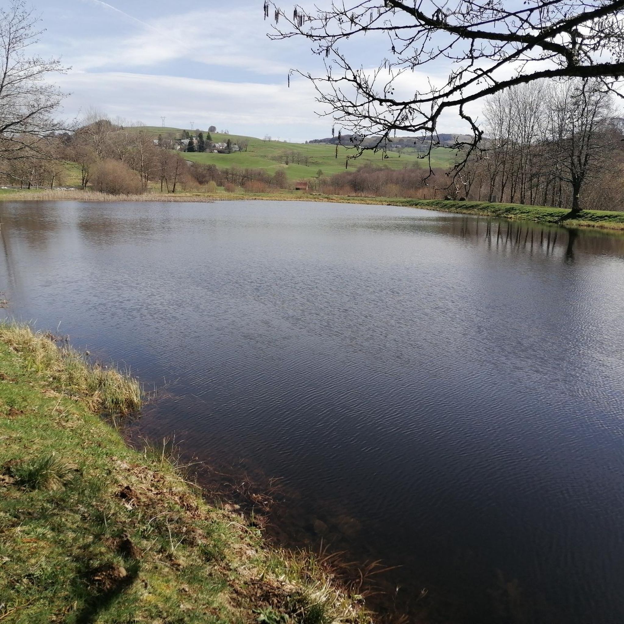
Road Cycling Routes around Égliseneuve-D'Entraigues
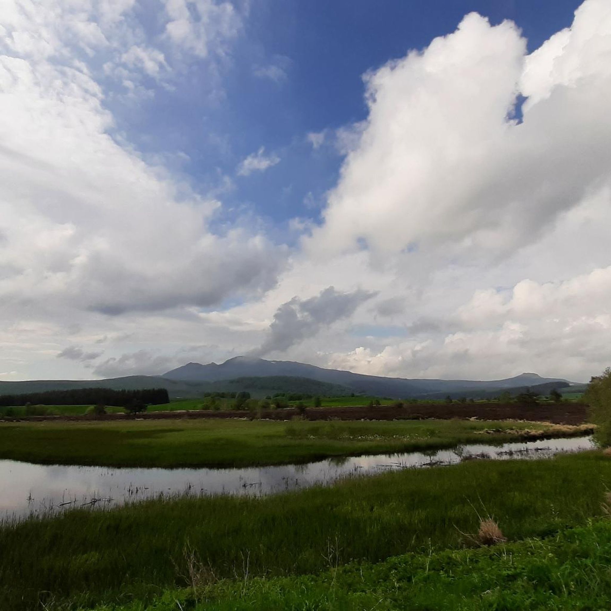
MTB Trails around Égliseneuve-D'Entraigues
Cycling around Égliseneuve-D'Entraigues
Running Trails around Égliseneuve-D'Entraigues
Gravel biking around Égliseneuve-D'Entraigues
Other adventures around Égliseneuve-D'Entraigues

Tips from the Community

you have to have ridden it to understand
0
1

It's amazing how these puny source streams can become such a magnificent river, until it flows into the Atlantic as the Gironde.
0
0
This is a popular hiking area in the Auvergne Volcanoes Nature Park. Those who want to hike in nature should set off early.
1
0


Very impressive prospects, good to go.
0
0
Very impressive prospects, good to go.
1
0
Frequently Asked Questions
Are there mountaineering routes suitable for beginners around Égliseneuve-D'Entraigues?
Yes, beginners can find suitable options. For an accessible introduction to the region's volcanic landscapes, consider the Puy Montchal – Lake Pavin loop from Besse. This easy route covers 3.5 miles (5.6 km) and offers a gentle ascent, making it a great choice for those new to mountaineering.
What kind of terrain can I expect on mountaineering routes in this area?
The terrain around Égliseneuve-D'Entraigues is diverse, shaped by its volcanic origins and high-altitude setting within the Auvergne Volcanoes Regional Natural Park. You'll encounter a mix of green pastures, peat bogs, and forests, leading up to rugged volcanic peaks. Routes often feature significant elevation changes, offering panoramic views of the Puy de Sancy and the Cantal Massif.
Are there any circular mountaineering routes available?
Many of the mountaineering routes in the region are designed as loops, allowing you to start and finish at the same point. For example, the Puy de Sancy – Col de la Cabane loop from Puy de Sancy is a moderate 4.8-mile (7.7 km) circular trail that offers stunning views of the Sancy massif.
What are some notable natural features or landmarks I might see along the routes?
The region is rich in natural beauty. You can expect to see dramatic volcanic formations, high-altitude lakes, and expansive plateaus. Highlights include the majestic Puy de Sancy, the highest peak in the Massif Central, and the distinctive Puy des Crebasses. The Courre Pass also offers breathtaking vistas.
What do other mountaineers say about the routes in Égliseneuve-D'Entraigues?
The mountaineering routes around Égliseneuve-D'Entraigues are highly regarded by the komoot community, with an average rating of 4.6 stars from over 7 reviews. Users often praise the stunning volcanic landscapes, the challenging yet rewarding ascents, and the panoramic views from the peaks.
Are there any routes that offer panoramic views of the surrounding area?
Absolutely. Many routes provide expansive views, especially from the higher elevations. The Puy Redon loop from Puy de Sancy is a moderate 3.2-mile (5.2 km) path that ascends Puy Redon, offering superb panoramic vistas of the surrounding volcanic landscape and the Cantal Massif.
What is the best time of year for mountaineering in Égliseneuve-D'Entraigues?
The best time for mountaineering typically spans from late spring to early autumn (May to October) when the weather is generally more stable and trails are clear of snow. During these months, you'll experience lush green pastures and comfortable temperatures. Winter offers opportunities for snow sports, but requires specialized gear and experience due to snow and ice conditions.
Are there any longer or more challenging mountaineering routes for experienced hikers?
While the listed routes are primarily moderate, they offer significant elevation gain and rugged terrain suitable for experienced mountaineers. For a longer and more demanding experience, consider the Puy de Sancy – Crêtes du Sancy loop from Super Besse. This 6.9-mile (11.2 km) route takes you along the Sancy ridges, providing a sustained challenge and spectacular views.
Are there any specific climbing spots or rock formations mentioned in the area?
Yes, the region's volcanic geology has created unique formations. The Dent de la Rancune is specifically highlighted as a 'playground for climbing enthusiasts,' indicating opportunities for rock climbing. While specific routes aren't detailed here, its presence suggests challenging ascents for those with appropriate skills and gear.
What kind of wildlife might I encounter on the mountaineering trails?
The Auvergne Volcanoes Regional Natural Park is home to diverse wildlife. You might spot local cattle breeds like Salers and Aubrac cows grazing in the pastures. The varied habitats, including forests and peat bogs, support a range of bird species and smaller mammals. Keep an eye out for raptors soaring above the peaks.
Are there any routes that pass by waterfalls?
While specific mountaineering routes listed here don't explicitly mention waterfalls, the region is known for its numerous bodies of water, including the Cascades du Bois de Chaux and d'Entraigues. Marked paths from Lac d'Entraigues lead to these waterfalls, suggesting that some hiking trails in the broader area will allow you to experience these natural wonders.
Is there a route that takes me to the Col de Courre?
Yes, the Puy de Sancy – Col de Courre loop from Puy de Sancy is a moderate 4.0-mile (6.4 km) route that will lead you to the Courre Pass. This pass, peaking at 1,720 meters, is a significant junction for paths leading towards the Sancy massif and offers impressive views.
Most popular routes around Égliseneuve-D'Entraigues
Most popular attractions around Égliseneuve-D'Entraigues

Get inspired with the komoot mobile app


Explore more
Browse the best Mountain Hikes & Routes in other regions.
