The best walks and hikes around Coulanges-Sur-Yonne
4.4
(191)
657
hikers
44
hikes
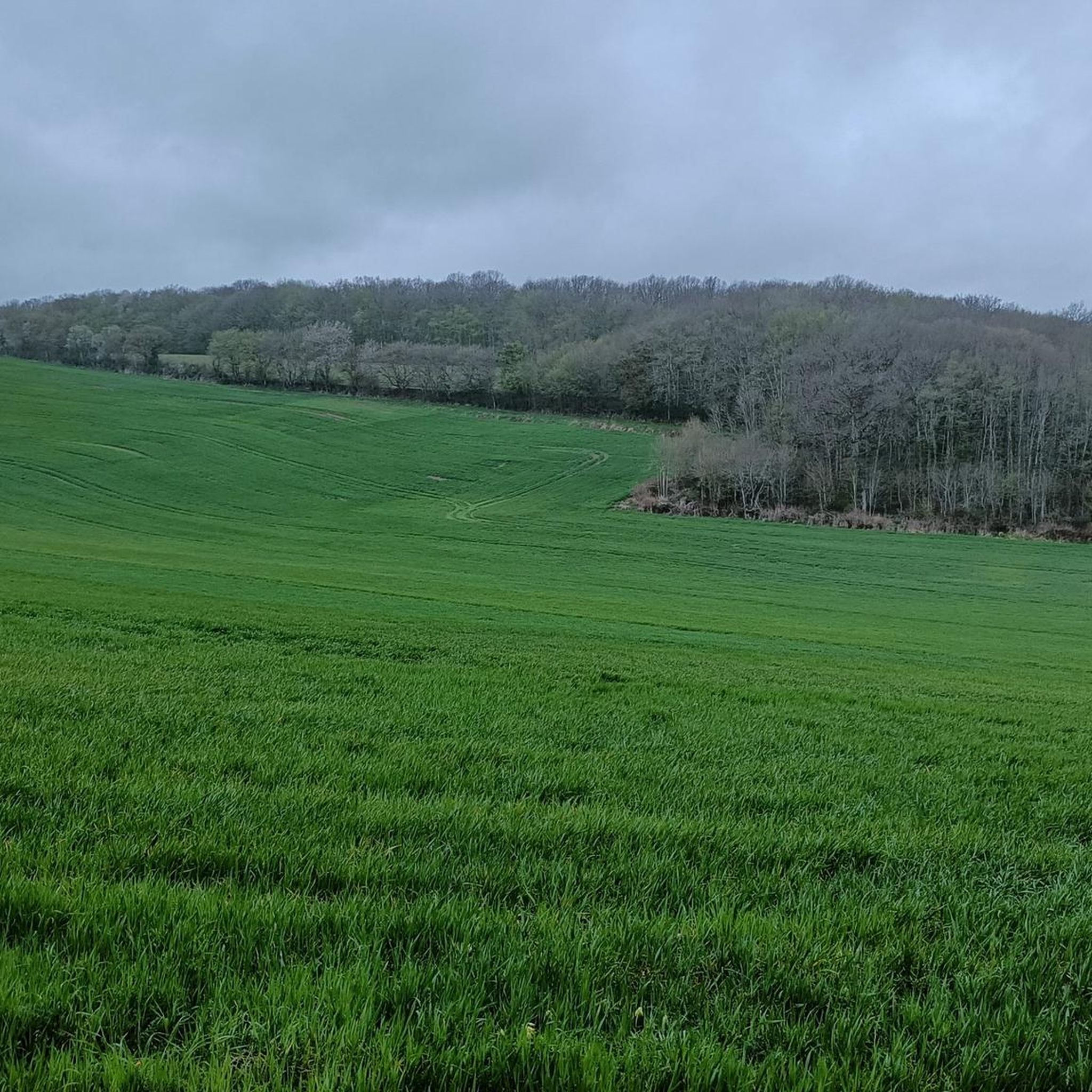
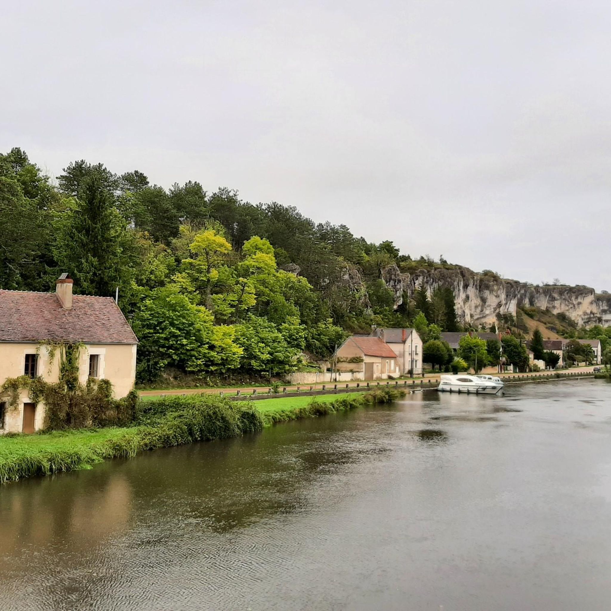
Hiking around Coulanges-Sur-Yonne offers diverse landscapes, characterized by rolling plateaus and the deeply incised valley of the Yonne River. The region features extensive networks of rural and agricultural paths, with minimal paved roads. Hikers can explore the banks of the Yonne River and the Canal du Nivernais, as well as areas with vineyards, cherry orchards, and the Druyes Marshes. These natural features provide varied terrain for outdoor activities.
Best hiking trails around Coulanges-Sur-Yonne
- The most popular hiking route is Porte de la Ville Parking Loop, a 4.0 miles (6.5 km) trail that takes 1 hour 6 minutes to complete. This easy route explores the immediate surroundings of Coulanges-sur-Yonne.
- Another top favourite among local hikers is Basseville Rocks – Prachtige bloemen loop from Andryes, a moderate 6.2 miles (9.9 km) path. This trail leads through natural rock formations and diverse floral landscapes.
- Local hikers also love the Prachtige bloemen – Basseville Rocks loop from Surgy, a 5.6 miles (9.1 km) trail leading through scenic rural paths and natural rock formations, often completed in about 2 hours 25 minutes.
- Hiking around Coulanges-Sur-Yonne is defined by river valleys, rolling plateaus, and agricultural paths. The extensive network of trails offers options for various ability levels, from easy walks to moderate excursions.
- The routes in Coulanges-Sur-Yonne are highly rated by the komoot community with an average score of 4.5 stars from over 170 reviews. More than 600 hikers have used komoot to explore Coulanges-Sur-Yonne's varied terrain.
Last updated: July 2, 2026
4.7
(10)
24
hikers
4.03km
01:06
60m
70m
Easy hike. Great for any fitness level. Easily-accessible paths. Suitable for all skill levels.
4.1
(11)
34
hikers
9.93km
02:41
130m
130m
Moderate hike. Good fitness required. Easily-accessible paths. Suitable for all skill levels.

Sign up for free
4.2
(10)
29
hikers
9.10km
02:26
100m
100m
Moderate hike. Good fitness required. Easily-accessible paths. Suitable for all skill levels.
4.6
(5)
22
hikers
Easy hike. Great for any fitness level. Easily-accessible paths. Suitable for all skill levels.
9
hikers
Moderate hike. Good fitness required. Easily-accessible paths. Suitable for all skill levels.
Get access to more routes and recommendations from other explorers.
Sign up for free
Already have an account?
Our route recommendations are based on thousands of hikes, rides, and runs completed by other people on komoot.
Start today with a free account
Your next adventure awaits.
Login or Signup


Tips from the Community


City of character which deserves to be among the most beautiful villages in France with a little more development. To have : 1 - the castle and the small surrounding village after a beautiful climb from the village. 2 - the pond hidden behind the houses in the center. A quiet corner with a beautiful overview of the village. There you will understand where the name Belles Fontaines comes from.
0
0
It was only at the end of the 12th century that the current castle of Druyes appears in the texts. Previously, during the 11th century, a first wooden castle would have been built on the site of the said castle. Druyes is part of the first generation of castles from the time of King Philippe Auguste. It is built on a square plan of 52.3 meters per side. It is an imposing building which is one of the most important specimens of military architecture from the Romanesque period in Burgundy. Private property, the castle is open to visitors. It is reached by crossing the postern which is the gateway to the fortified village, where absolute calm seems to reign. The castle dominates the town of character of Druyes Les Belles Fontaines, which deserves to be listed among the most beautiful villages in France, if it were a little better highlighted. Note a beautiful climb to climb from the village to the castle
1
0
beautifull short walk mainly under the trees. The climb is steep with a staircase, but feasable with small children (+3 year). Coming back is easier.
0
0

Very nice walk made in May 2019. I recommend!
0
0

Fortified Gate - classified as a historic monument. This gate is part of the enclosure of the lower courtyard of the castle which crowned the rock overlooking the valley and dominating the only possible crossing of the river. A second gate existed on the current rue de la Rampe. The enclosure dates from the 12th century. It was protected, to the east, by four still visible towers, one of which has just been restored. On the west coast, the enclosure appears as a very large wall, 2 m thick and 4 m high. It is incorporated into gardens and houses, but still visible. It was lined with a dry ditch. The postern did not include a drawbridge. It was closed by a heavy double door, the stone pivot cups of which can still be seen in the lower part. The machicolations made it possible to throw stones at the attackers. They probably date from the 14th century. This door has been classified as a historic monument since May 9, 1888.
7
0
6th century: primitive church built by Saint-Romain, destroyed by a fire at the end of the 11th century. 12th century: current Romanesque church: very pure plan, three-bay nave with apses in the extension. Flat transsept. 14th century: construction of the Notre-Dame de la Pitié chapel on the lower north side. 15th century: construction of the defense tower enclosing the staircase, raising of the transept with the incorporation of Gothic glass roofs. 19th century: construction of the sacristy, installation of stained glass windows, transfer of the cemetery surrounding the church. Decoration in the portal and capitals, borrows from Arab and Roman styles. Bell installed in 1881 "Constance", diameter: 1.215 m, weight: 1066 kg replaces "Perette", dating from 1642. The church was classified as a historic monument on May 9, 1888.
6
0
Beautiful 12th century castle visible from afar. Entrance costs 5 euros (as of 2021). Out of season the castle is only open on weekends. There is even a circular hiking trail where the castle is almost always visible. www.chateau-de-druyes.com
7
0
Frequently Asked Questions
What kind of terrain can I expect on hiking trails around Coulanges-sur-Yonne?
The hiking trails around Coulanges-sur-Yonne feature diverse terrain, characterized by rolling plateaus and the deeply incised valley of the Yonne River. You'll primarily find rural and agricultural paths, with minimal paved roads, offering an immersive natural experience. Many routes follow the banks of the Yonne River and the Canal du Nivernais, and some pass through vineyards and cherry orchards.
Are there many hiking trails available in the Coulanges-sur-Yonne region?
Yes, the Coulanges-sur-Yonne region, including the surrounding Pays Coulangeois, offers an extensive network of hiking paths. There are over 40 routes available on komoot, and the local network boasts 20 circuits ranging from 4 to 18 kilometers, totaling 195 kilometers of dedicated trails. These connect with larger routes like the GR 13, and those in the Vermentonnais and Auxerrois regions.
What are some natural features or landmarks I can see while hiking in the area?
Hikers can explore several notable natural features and landmarks. The Rochers du Saussois are a significant natural attraction, known for their unique rock formations and protected flora. You can also discover the Druyes Marshes, rich in wildflowers and bird species. Additionally, trails often provide picturesque views of the Yonne River's meanders and pass by historic sites like the Château de Druyes.
Are there any easy hiking trails suitable for beginners or a relaxed walk?
Yes, Coulanges-sur-Yonne offers several easy trails. A great option for a relaxed walk is the Porte de la Ville Parking Loop, which is 6.5 km long and takes about 1 hour 6 minutes to complete, exploring the immediate surroundings of Coulanges-sur-Yonne. Another easy route is The Druyes Viaduct – Bridge Over the Druyes loop from Druyes-les-Belles-Fontaines, which is 6.2 km.
Can I find circular hiking routes in Coulanges-sur-Yonne?
Yes, the region is well-suited for circular hikes. Many of the 20 local circuits are designed as loops, allowing you to start and end at the same point. For example, the Basseville Rocks – Prachtige bloemen loop from Andryes and the Prachtige bloemen – Basseville Rocks loop from Surgy are popular moderate circular trails that showcase natural rock formations and floral landscapes.
What do other hikers say about the trails in Coulanges-sur-Yonne?
The trails in Coulanges-sur-Yonne are highly regarded by the komoot community, with an average rating of 4.5 stars from over 170 reviews. Hikers often praise the diverse landscapes, the tranquility of the river and canal paths, and the well-preserved natural environment, making for an enjoyable outdoor experience.
Are there any family-friendly hiking options in the area?
Many of the easier and moderate trails are suitable for families. The extensive network of rural paths and the relatively gentle elevation changes on many routes make them accessible. Shorter loops like the Porte de la Ville Parking Loop are excellent choices for families with children.
Is Coulanges-sur-Yonne a good destination for dog-friendly hiking?
Yes, the natural and rural character of the trails around Coulanges-sur-Yonne makes it a great place for hiking with dogs. The extensive network of agricultural paths and riverside routes provides ample space for your canine companion to explore. Always ensure your dog is under control and respect local wildlife and agricultural areas.
What is the best time of year to go hiking in Coulanges-sur-Yonne?
The region is enjoyable for hiking throughout much of the year. Spring and autumn offer pleasant temperatures and beautiful scenery, with wildflowers in spring and vibrant foliage in autumn. Summer is also popular, especially along the shaded riverbanks. Even winter can be suitable for hiking, though some paths might be muddy, and you should check local conditions.
Are there any longer or more challenging hikes available for experienced hikers?
While many trails are easy to moderate, the region's network connects to larger routes like the GR 13, offering options for longer excursions. The local circuits themselves range up to 18 kilometers, providing opportunities for extended walks. For a moderate challenge, consider the Hiking loop from Clamecy, which is nearly 10 km long.
Where can I park when accessing hiking trails in Coulanges-sur-Yonne?
Many trails in the region, especially those starting from villages or popular points of interest, offer designated parking areas. For instance, the Porte de la Ville Parking Loop implies a starting point with parking facilities. It's advisable to check the specific tour details on komoot for parking information at your chosen trailhead.
Can I reach hiking trails in Coulanges-sur-Yonne using public transport?
While the region is primarily rural, some villages and towns that serve as trailheads may have limited public transport connections. For specific routes, it's best to research local bus services or regional trains that might connect to larger towns like Clamecy or Auxerre, from which you might then need to arrange further transport to the trailhead.
Most popular routes around Coulanges-Sur-Yonne
Most popular attractions around Coulanges-Sur-Yonne

Get inspired with the komoot mobile app


Explore more
Browse the best Hikes in other regions.
