Top 5 Mountain Passes around Marchastel
Best mountain passes around Marchastel are located in the Aubrac region of Lozère, France, characterized by elevated points and scenic routes. This area offers a mountainous landscape with rewarding hiking experiences and panoramic views of the Aubrac plateau. The region features unique geological formations, including volcanic hills and basaltic structures. Marchastel provides access to diverse routes that showcase the natural beauty and heritage of the area.
Best mountain passes around Marchastel
- The most popular mountain passes is Highest point of…
Last updated: June 26, 2026
Bonnecombe Pass
Highlight • Mountain Pass
Translated by Google •
Tip by

Highest point of the Via Podiensis
Highlight • Mountain Pass
Translated by Google •
Tip by

Sign up now to discover places like this
Get recommendations on the best single tracks, peaks, & plenty of other exciting outdoor places.
Sign up for free
Aubrac Pass
Highlight • Mountain Pass
Translated by Google •
Tip by

Trébatut Pass
Highlight • Mountain Pass
Translated by Google •
Tip by

Café-Bar Aligot Relais des Lacs Bonnecombe
Highlight • Cafe
Translated by Google •
Tip by
Start today with a free account
Your next adventure awaits.
Login or Signup
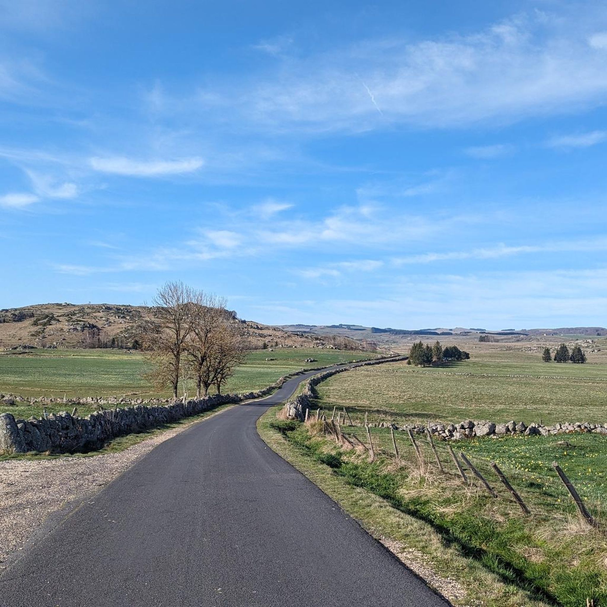
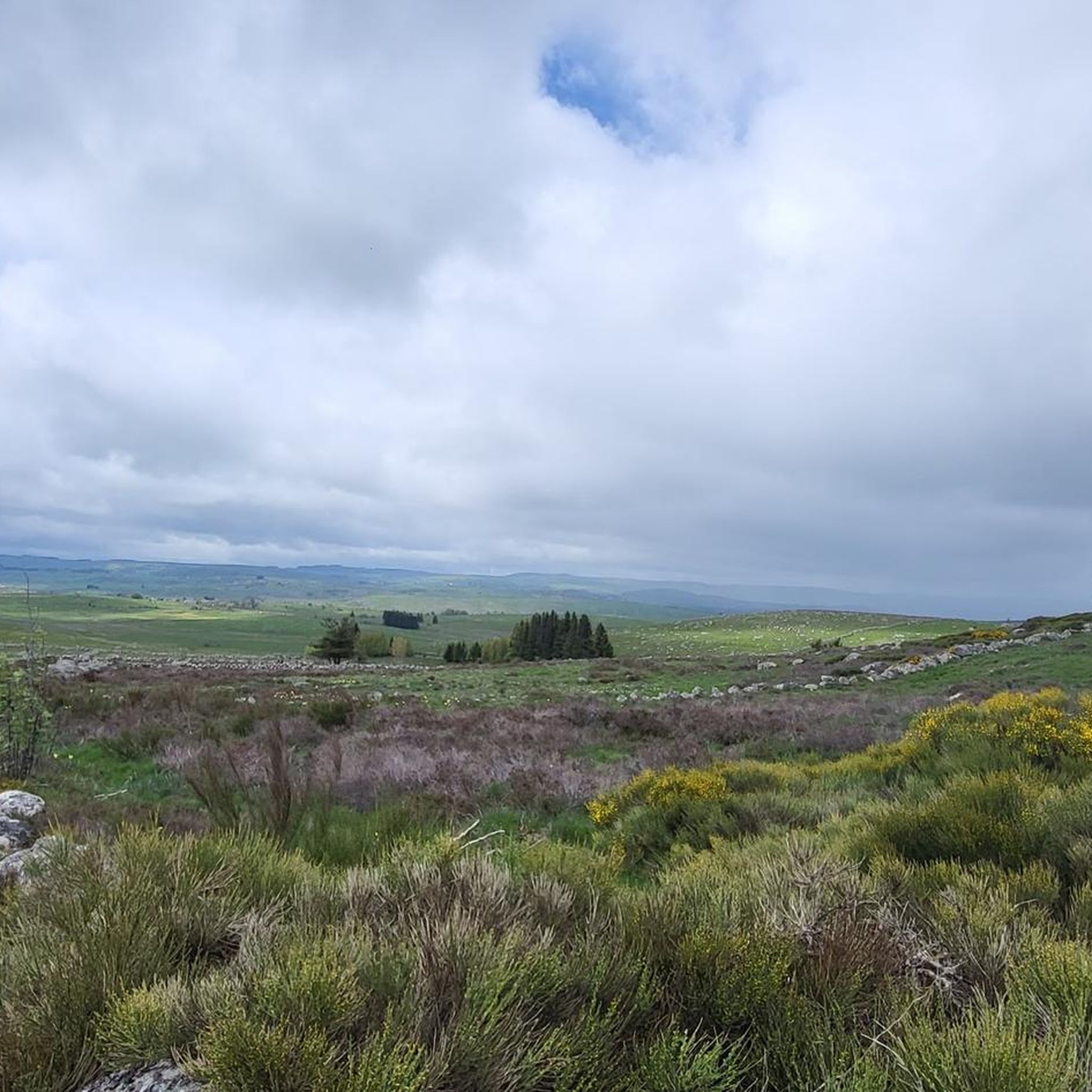
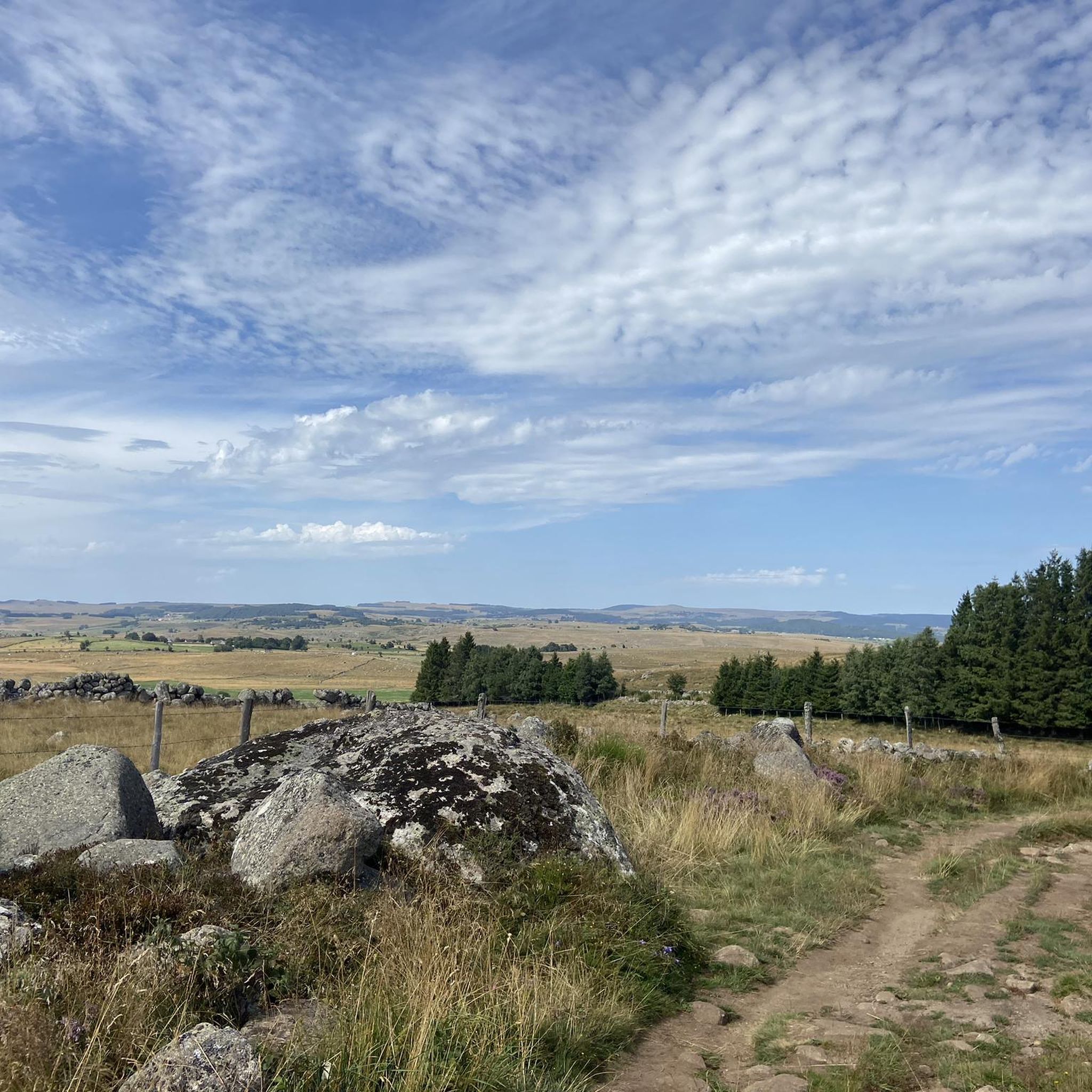

Tips from the Community

9km of climbing, perfect for training sessions of one or 45 minutes
0
0

The Col du Trébatut is 10.5 km long with an average gradient of 5.1% and maximum gradients of 8%. There is 535m of elevation gain.
2
0

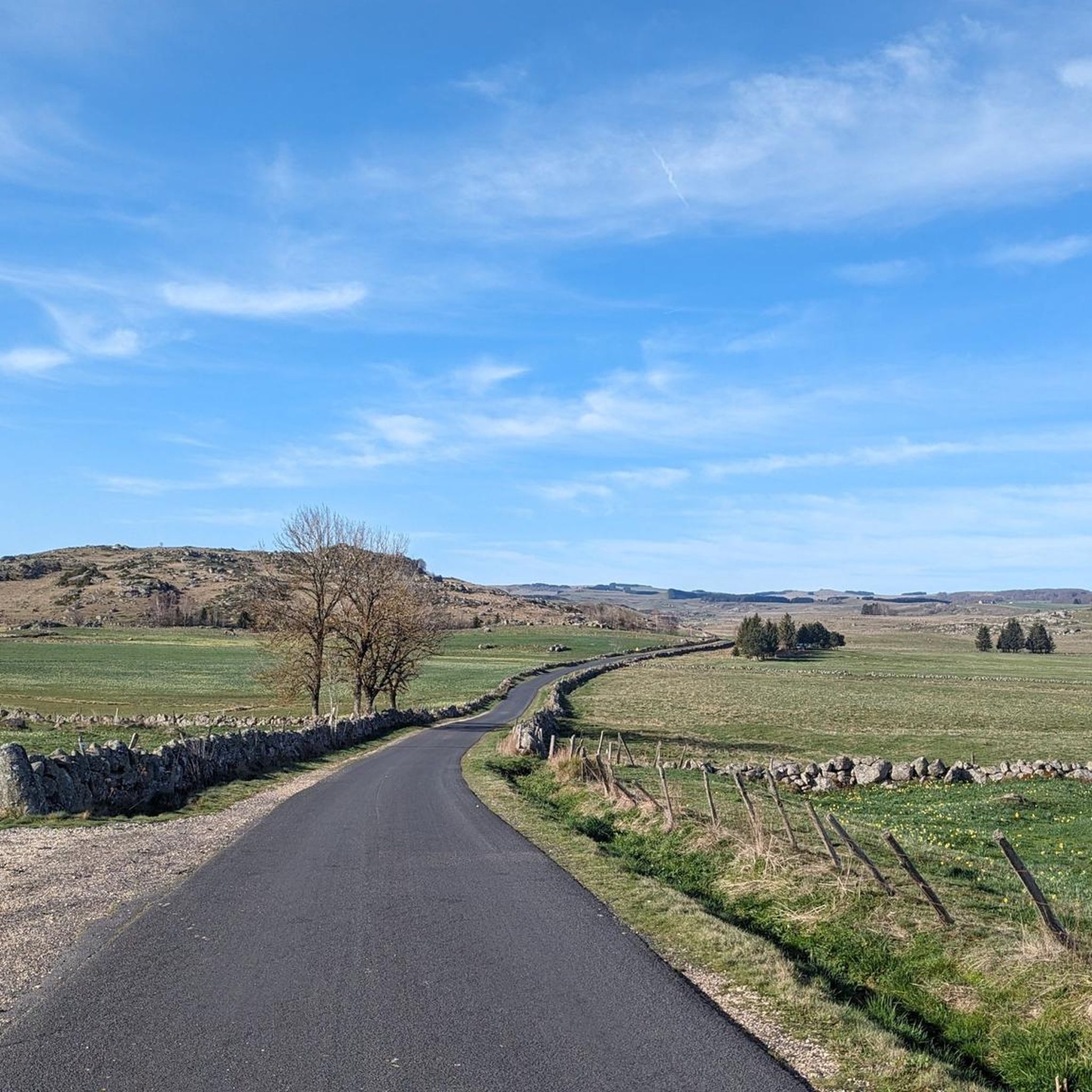
Aubrac welcomes you in all its splendour. The ascent of the Col de Bonnecombe is regular, and I assure you that this plateau is worth all the effort.
0
0
A pleasant pass, which will take you straight into Aubrac and its magical plateau. We slept at the top in June, it is still cold there.
0
0

This pass which marks the passage between Lozère and Aveyron is with its 1340 meters, the highest in Aubrac.
0
0

To be precise, this pass marks the passage between Lozère and Aveyron
0
3

Le Relais des Lacs, an isolated buron on the Aubrac plateau located at 1343m altitude on the lakes route (D52) at the junction of the GR60, the Aubrac tour, the Saint Guilhem path and Urbain V . Jérôme et Véronique offers you a unique menu, typical of Buronniers. In a unique country where many sporting and cultural activities await you (skiing, hiking, fishing, motorcycling, mountain biking ...), you will be warmly welcomed at the Relais des Lacs.
3
1
The Bonnecombe pass gives access to the southern part of the Aubrac mountains, the highest on the plateau, and is located between the Mailhebiau signal and the Coumborio mountain. It is taken by the D52 road, known as the lakes road and is located in the immediate vicinity of the pond of the same name.
2
1
Frequently Asked Questions
What unique natural features can I expect to see around Marchastel's elevated points?
The region around Marchastel is known for its unique geological formations. You can explore the Rocher de Marchastel, a volcanic neck of basaltic origin, which features impressive prismatic basalt formations on its eastern face. Additionally, the area boasts the stunning Cascade du Déroc, a remarkable waterfall that is a highlight on several local hiking routes.
Are there specific hiking routes that offer panoramic views of the Aubrac plateau?
Yes, several routes provide sweeping vistas. An easier 6.47 km hike, taking about 2 hours and 20 minutes, offers panoramic views of the Aubrac plateau by climbing two volcanic hills. Another option is the Marchastel Bridge – Cascade du Déroc loop, which also provides exceptional views of the local flora and fauna, leading to the impressive Cascade du Déroc.
What are some of the notable mountain passes in the Aubrac region near Marchastel?
Key passes include the Highest point of the Via Podiensis, reaching 1,368 meters with extensive views. The Aubrac Pass, at 1,340 meters, marks the boundary between Lozère and Aveyron and is the highest in Aubrac. Another significant pass is Bonnecombe Pass, which provides access to the southern part of the Aubrac mountains and is located near a pond of the same name on the D52 road.
What is the highest point accessible in the Marchastel area?
The highest point mentioned in the guide is the Highest point of the Via Podiensis, which reaches an elevation of 1,368 meters. This long, flat summit offers a wide panoramic view. Additionally, the Rocher de Marchastel, a prominent local landmark, culminates at 1,266 meters.
When is the best time of year to visit the mountain passes around Marchastel?
While specific seasonal recommendations aren't detailed, the Aubrac region is generally enjoyed for outdoor activities from spring through autumn. Summer offers pleasant temperatures for hiking and cycling, while spring and early autumn can provide beautiful landscapes with wildflowers or changing foliage. Visitors to Bonnecombe Pass have noted that it can still be cold there in June, suggesting that layers are advisable even in warmer months.
Are there family-friendly hiking options around Marchastel's mountain passes?
Yes, there are options suitable for families. The 'Panoramic views of the Aubrac from Marchastel' hike is an easier 6.47 km route, taking about 2 hours and 20 minutes, which is manageable for many families. For more options, you can explore the 'Hiking around Marchastel' guide, which includes easy routes like the 'Rieutort d'Aubrac – Around La Tourre loop' (5.4 km) and 'Roc des Loups loop' (3.5 km).
What outdoor activities can I do near these mountain passes?
The area around Marchastel offers a variety of outdoor activities. You can find numerous hiking trails, such as the 'Marchastel Bridge – Cascade du Déroc loop'. For cyclists, there are road cycling routes, including 'Col de Bonnecombe — Natural regional park of Aubrac' and 'Aubrac Pass – Aubrac loop from Nasbinals'. Mountain biking enthusiasts can explore trails like the 'Marchastel Bridge – Cascade du Déroc loop from Orgues Basaltiques'. For more details on these activities, refer to the Hiking around Marchastel, Road Cycling Routes around Marchastel, and MTB Trails around Marchastel guides.
Are there places to eat or stay near the mountain passes?
Yes, near Bonnecombe Pass, you can find the Café-Bar Aligot Relais des Lacs Bonnecombe. This isolated buron (traditional Aubrac building) at 1343m altitude offers a unique menu typical of Buronniers, with regional cuisine like aligot. It's located at the junction of several hiking paths and provides a warm welcome to visitors.
What is the Marchastel Bridge and why is it significant?
The Marchastel Bridge, built in the 16th century, spans the Bès river. It is significant not only for its historical value but also for providing exceptional views of the local flora and fauna. It's a key landmark on several hiking loops, such as the 'Marchastel Bridge – Cascade du Déroc loop', making it a recommended stop for its natural beauty and heritage. You can find more information about it on Visit Occitanie.
What do visitors enjoy most about the mountain passes around Marchastel?
Visitors particularly appreciate the panoramic views and the sense of immersion in the natural landscape of Aubrac. The Highest point of the Via Podiensis is praised for its wonderful, wide views. The Bonnecombe Pass is described as a pleasant pass that takes you straight into the magical Aubrac plateau. The unique geological features, such as the basaltic formations of Rocher de Marchastel, also draw significant interest.
Are there any challenging routes for experienced hikers or cyclists?
Yes, for those seeking a challenge, the area offers more difficult routes. For hikers, the 'Marchastel Bridge – Cascade du Déroc loop from Puech Palat' is a difficult 21.8 km route. Cyclists can tackle the 'Col de Bonnecombe — Natural regional park of Aubrac' road cycling route, which is rated difficult. The Trébatut Pass, with an average gradient of 5.1% and maximum gradients of 8% over 10.5 km, is also ideal for challenging training sessions.
Most popular routes around Marchastel
Most popular attractions around Marchastel

Get inspired with the komoot mobile app


Explore more
See even more epic mountain passes by checking out these guides around Marchastel:
