The best running trails around Bassurels
5.0
(4)
1,800
runners
64
runs
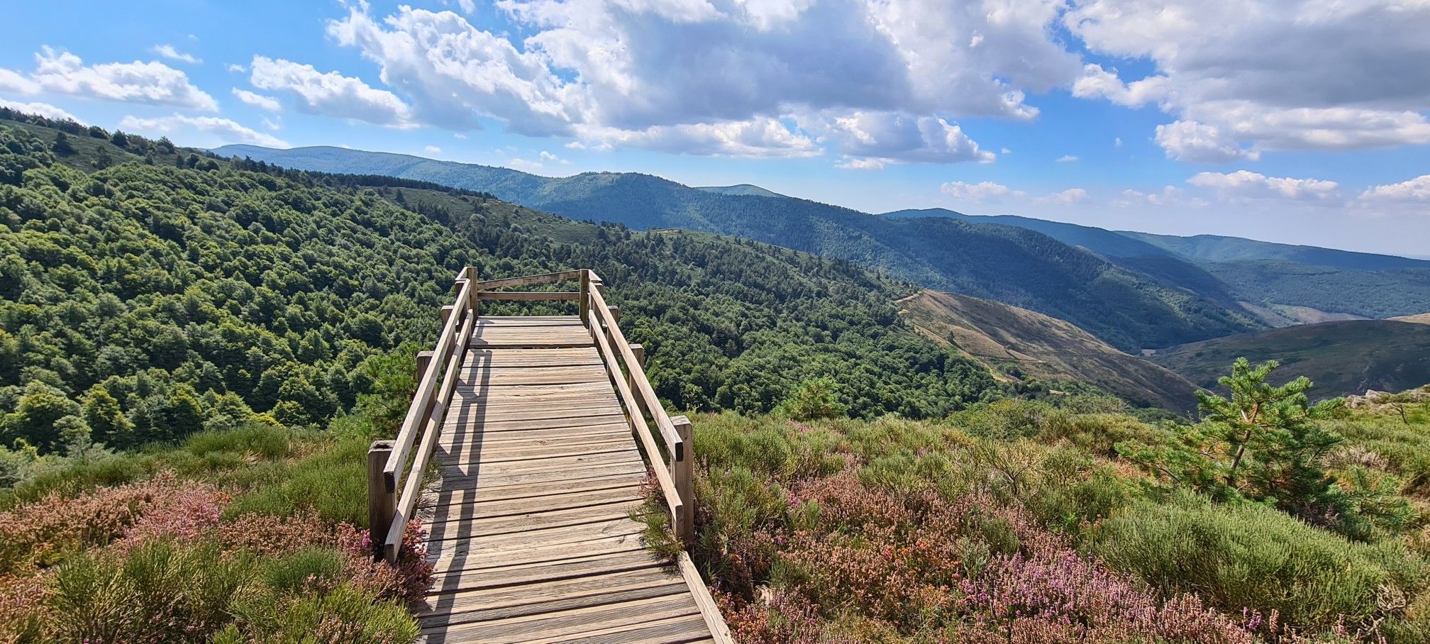
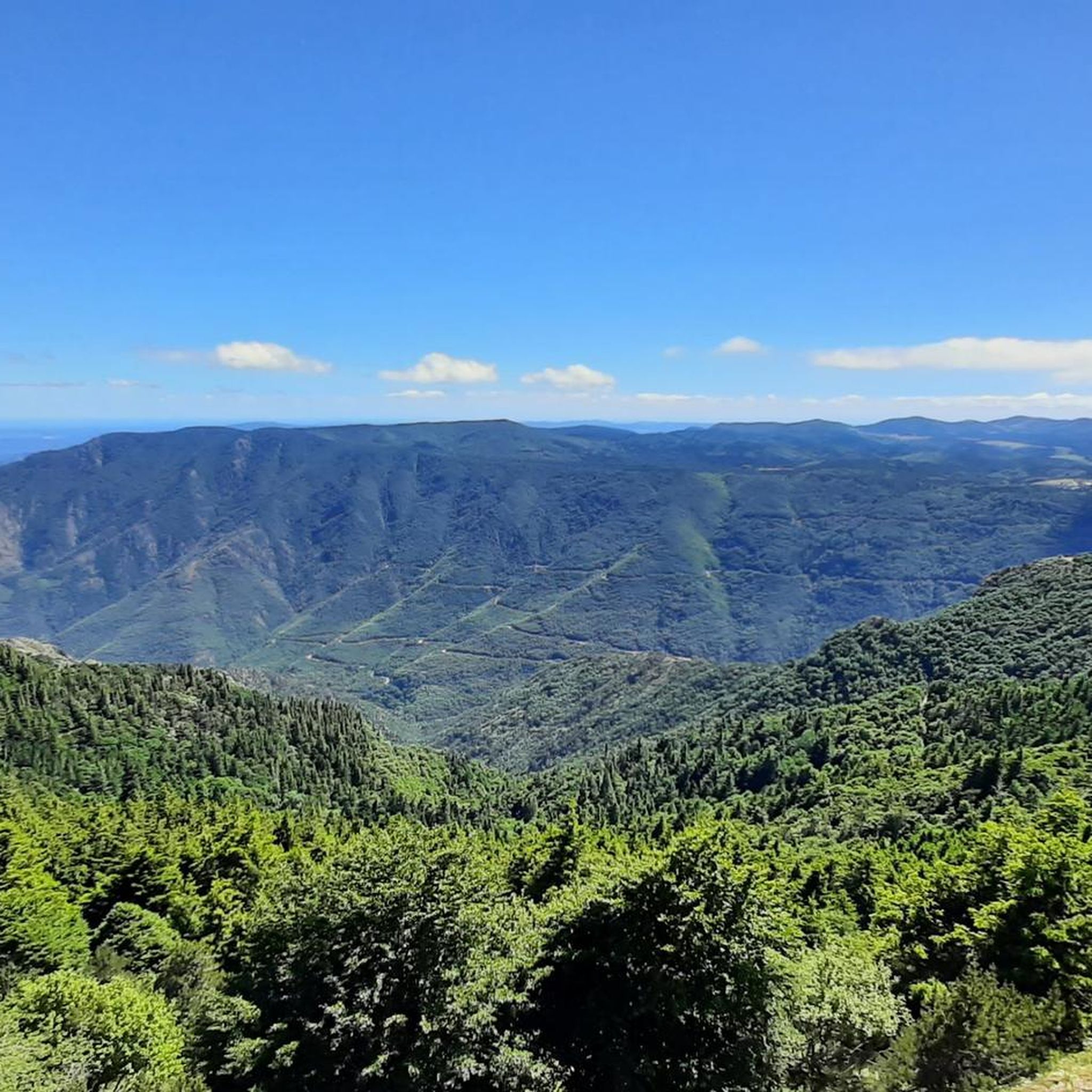
Jogging around Bassurels offers access to the diverse landscapes of the Cévennes National Park, a UNESCO World Heritage site. The region is characterized by its varied topography, including the dominant Mont Aigoual, high valleys, and a mix of Mediterranean and Atlantic influences. Runners can explore trails that traverse wooded areas, open plains, and a unique "bipolar" landscape featuring pastoral terrain on one side and the Aigoual forest on the other.
Best jogging routes around Bassurels
- The most popular jogging route…
Last updated: May 10, 2026
5
runners
16.3km
02:03
370m
370m
Jog the difficult 10.1-mile Bézuc Trail in Cévennes National Park, gaining 1228 feet with views towards La Can de l’Hospitalet.
2
runners
12.7km
01:46
430m
450m
This difficult 7.9-mile jogging loop in Cévennes National Park offers varied forest terrain and 1422 feet of elevation gain.

Sign up for free
321
runners
16.8km
03:19
1,150m
1,160m
Hard run. Very good fitness required. Sure-footedness, sturdy shoes and alpine experience required.
22
runners
13.8km
01:48
420m
420m
Hard run. Very good fitness required. Mostly accessible paths. Some sure footedness required.
22
runners
14.5km
01:47
420m
420m
Hard run. Very good fitness required. Mostly paved surfaces. Suitable for all skill levels.
Get access to more routes and recommendations from other explorers.
Sign up for free
Already have an account?
Our route recommendations are based on thousands of hikes, rides, and runs completed by other people on komoot.
Start today with a free account
Your next adventure awaits.
Login or Signup

Other adventures around Bassurels

Tips from the Community


Wonderful mountain with a wonderful view. We stayed there on our long-distance hike from Tarifa (Spain) to Switzerland and can highly recommend the camp.
4
0

This menhir attests to the presence of humans 5000 years ago.
1
1

Very nice place to contemplate the surrounding landscapes in favorable weather conditions. Presence of a bar/restaurant and a panoramic table at height.
2
0

Mont Aigoual is the second highest peak in the Cévennes after Mont Lozère. Renowned for its meteorological observatory, it offers breathtaking panoramic views. It’s a popular place for mountain bikers!
2
0
Frequently Asked Questions
How many running routes are available around Bassurels, and what's their general difficulty?
Bassurels offers a wide selection of over 60 running routes. While the majority, around 45, are classified as difficult, there are also about 22 moderate and a couple of easy trails, ensuring options for various fitness levels.
What kind of terrain can I expect on the jogging trails in Bassurels?
The terrain around Bassurels is incredibly diverse, ranging from wooded areas and open plains to challenging mountain ascents. You'll encounter the unique 'bipolar' landscape of the Cévennes National Park, with pastoral terrain on one side and the impressive Aigoual forest on the other, providing varied visual and physical experiences.
Are there any running routes that offer significant elevation challenges?
Absolutely. The region, particularly around Mont Aigoual, is known for its challenging ascents. For instance, The Trépaloup menhir – The 4000 Steps loop from Mont Aigoual is a difficult 16.8 km trail with over 1100 meters of elevation gain, offering a truly demanding run through granite and schist massifs.
What natural landmarks or viewpoints can I discover while running in Bassurels?
Many routes offer stunning views and pass by significant natural features. You can run towards Mount Aigoual itself, or explore trails that lead to viewpoints like La Can de l’Hospitalet. The area also features unique geological formations such as the Chaos de Nîmes-le-Vieux, which can be incorporated into longer excursions.
Are there any circular running routes available in the Bassurels area?
Yes, many of the running routes around Bassurels are designed as loops, allowing you to start and finish in the same location. An example is Running loop from Le Pompidou, which offers a 14.5 km circular path through the scenic landscape.
What do other runners say about the trails in Bassurels?
The running routes in Bassurels are highly regarded by the komoot community, boasting an average rating of 5.0 stars from numerous reviews. Runners often praise the diverse landscapes, the challenge of the mountain ascents, and the serene environment of the Cévennes National Park.
Can I find running routes that take me through forests or shaded areas?
Certainly. The region is rich in forested landscapes, particularly around Mont Aigoual. The Forest of l'Aigoual Trail is a prime example, offering a 12.7 km route that winds extensively through the dense woodlands, providing shade and a refreshing running experience.
Are there any easy or beginner-friendly jogging routes near Bassurels?
While many routes are challenging, there are a couple of easier options available. These trails typically feature less elevation gain and more forgiving terrain, perfect for those new to trail running or looking for a more relaxed jog. You can filter for 'easy' routes on komoot to find these specific options.
What is the best time of year for jogging in Bassurels?
The Cévennes National Park experiences a true mountain environment with abundant precipitation, wind, and fog, especially at higher altitudes. Spring and autumn generally offer pleasant temperatures for running, while summer can be warm but provides longer daylight hours. Winter running is possible but requires appropriate gear for potentially cold and wet conditions.
Are there any specific passes or mountain features I can incorporate into my run?
Yes, the area is home to several notable mountain passes. You could include the Minier Pass or the Lusette Pass in your route planning for additional challenge and scenic views. The Salidès Pass is also a well-known trail feature.
Are there any running routes that pass through or near charming villages?
While the focus is on natural landscapes, some routes may offer glimpses of or pass near quaint villages. The broader region includes picturesque places like Meyrueis and Florac, which can serve as starting points or points of interest for longer running excursions, allowing you to combine natural beauty with local culture.
What is a good route for experiencing the varied landscape of Bassurels?
For a route that showcases the diverse topography, consider the Bézuc Trail. This 16.3 km difficult route offers varied terrain, allowing you to experience the natural environment surrounding Bassurels, from its wooded sections to more open areas.
Most popular attractions around Bassurels

Get inspired with the komoot mobile app


Explore more
Browse the best Running Trails & Routes in other regions.
