The best running trails around Poilley
4.1
(64)
3,219
runners
299
runs
Jogging routes around Poilley offer diverse landscapes in the Manche department of Normandy, France. The region features a mix of bocage countryside, marshlands, and hills, with a network of freshwater streams and coastal rivers. Proximity to Mont Saint-Michel Bay and the Couesnon River provides scenic coastal and riverside paths. Runners can also explore natural trails within local forests like Forêt de Fougères.
Best jogging routes around Poilley
- The most popular jogging route is Voie verte de la Véloscénie – Route…
Last updated: October 12, 2026
5.0
(2)
52
runners
12.2km
01:27
50m
50m
Moderate run. Good fitness required. Mostly paved surfaces. Suitable for all skill levels.
80
runners
Moderate run. Good fitness required. Mostly paved surfaces. Suitable for all skill levels.

5.0
(1)
32
runners
Hard run. Very good fitness required. Mostly paved surfaces. Suitable for all skill levels.
24
runners
Hard run. Very good fitness required. Mostly paved surfaces. Suitable for all skill levels.
25
runners
29.9km
03:34
500m
500m
Hard run. Very good fitness required. Sure-footedness, sturdy shoes and alpine experience required.
Get access to more routes and recommendations from other explorers.
Already have an account?
Our route recommendations are based on thousands of hikes, rides, and runs completed by other people on komoot.
Start today with a free account
Your next adventure awaits.

Tips from the Community

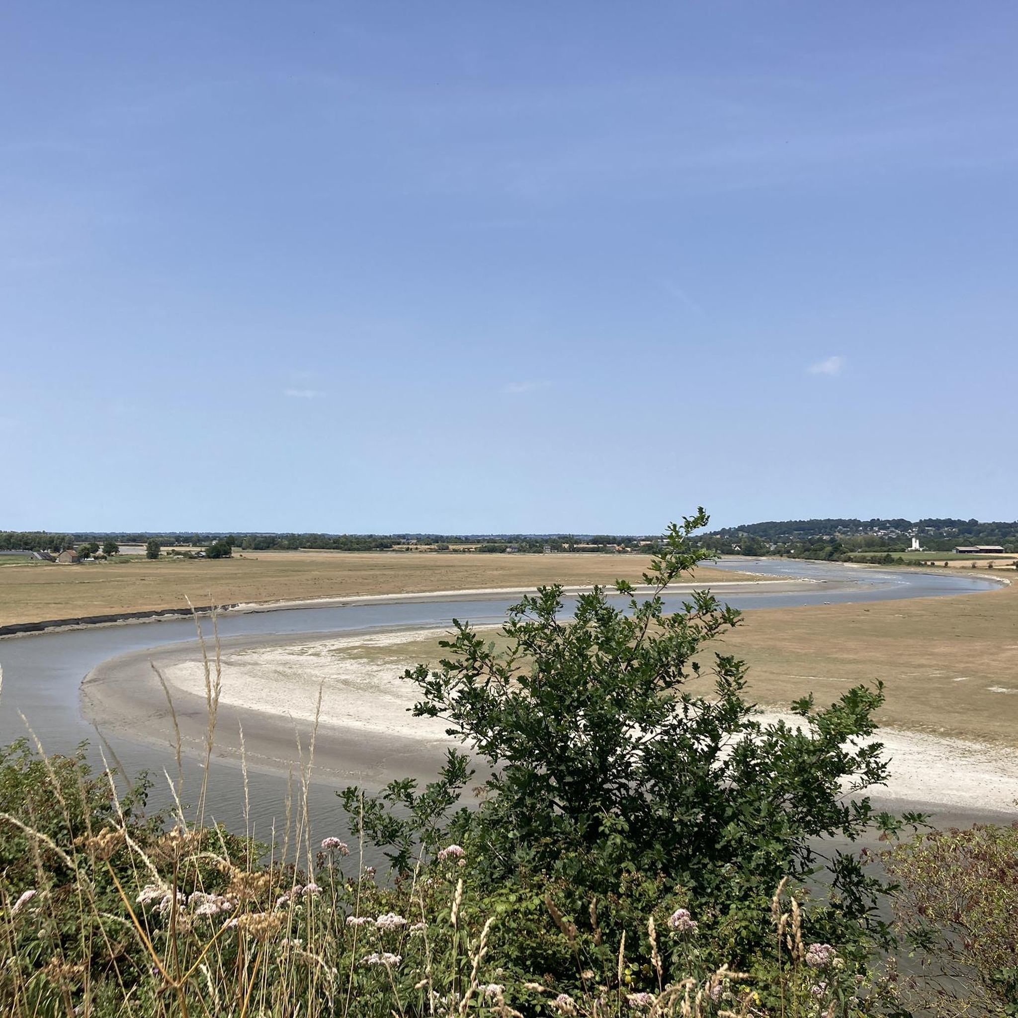
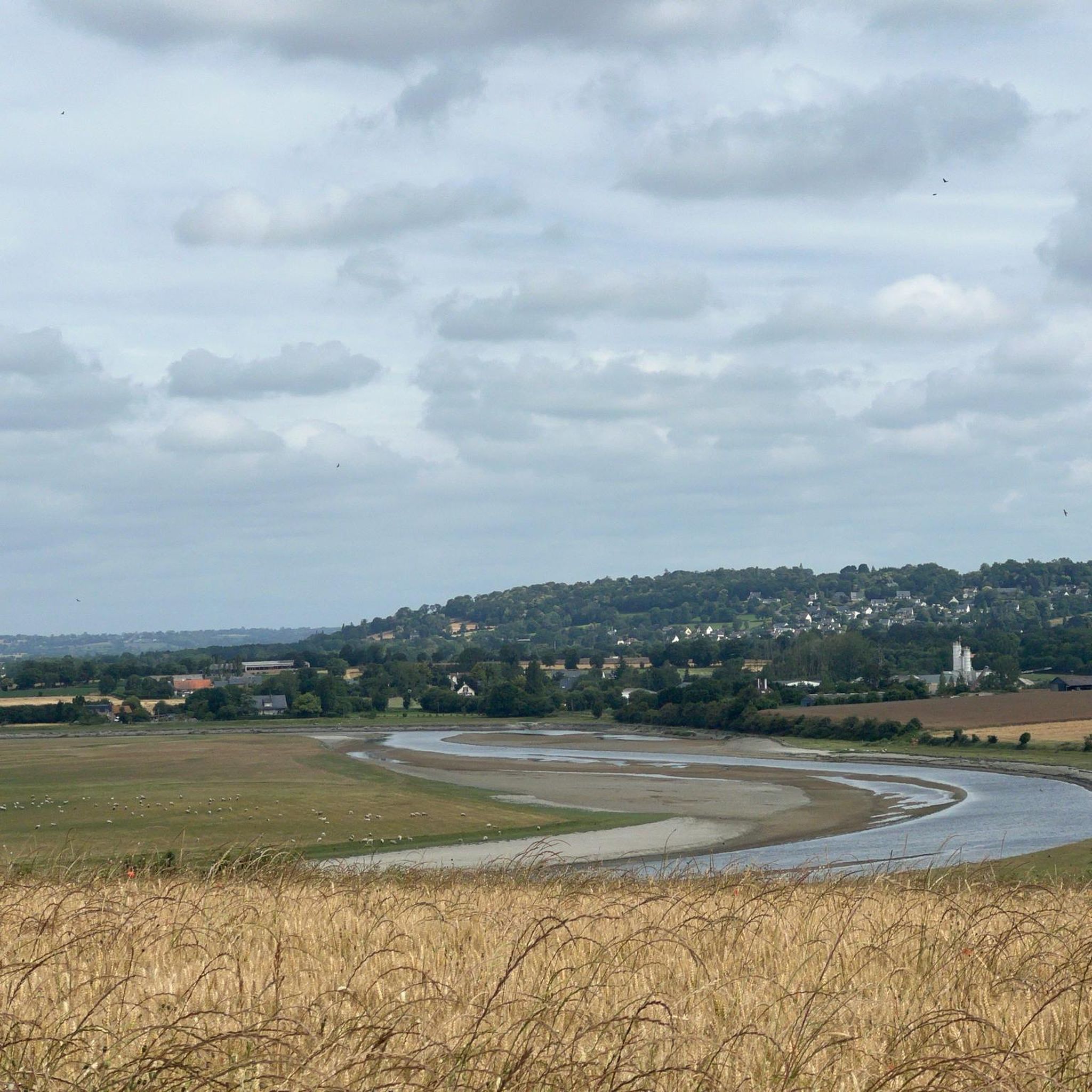
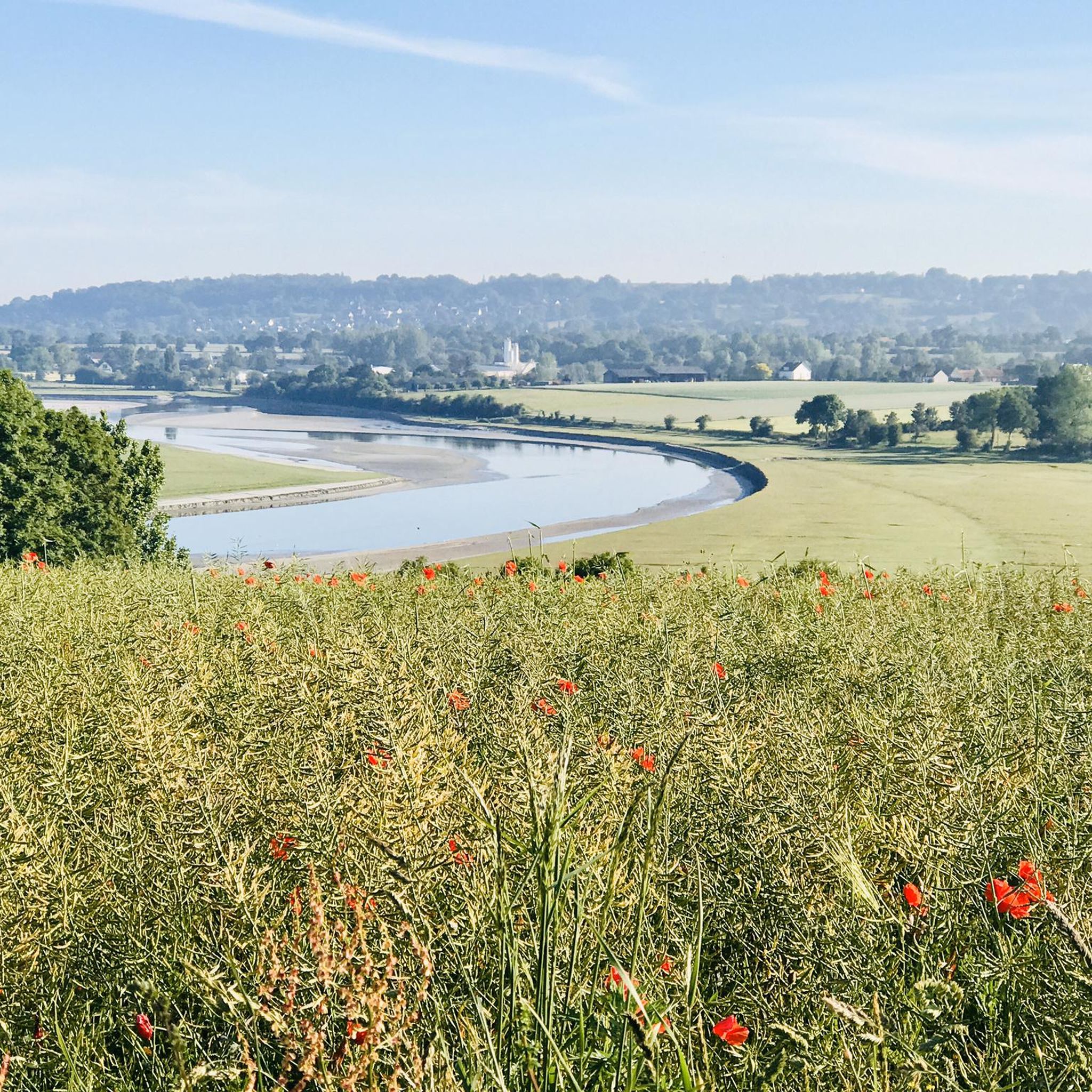
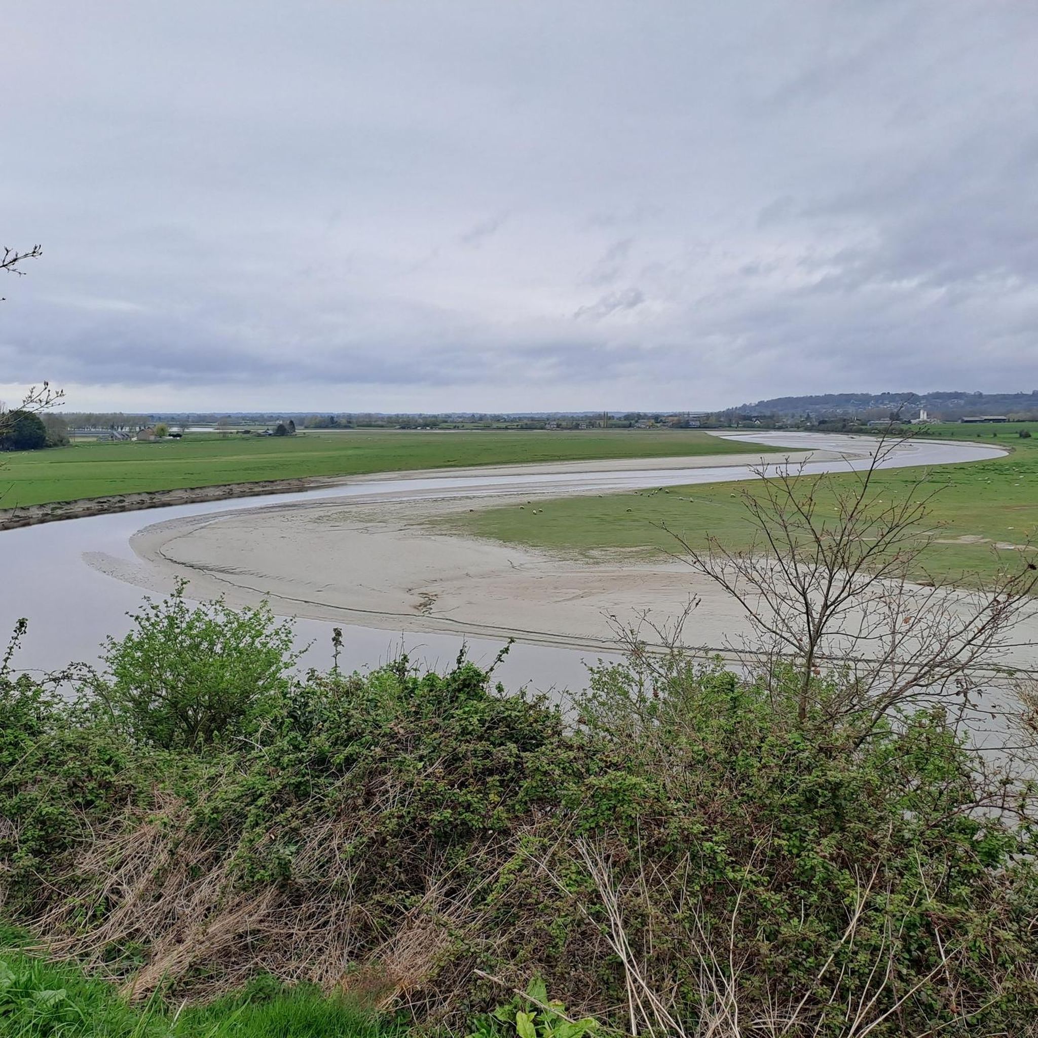
The salt marsh path (* public access is via an unlocked gate) leads through the expansive landscape of the bay and offers a particularly impressive way to experience the famous Klosterberg from a quieter perspective. The paths run through the prés-salés (salt marshes) shaped by the tides, which are crisscrossed by numerous tidal creeks. These small watercourses regularly change their appearance with ebb and flow, creating popular photo opportunities together with the grassy areas and reflections.
33
0

This picnic area is shared with car and camper drivers, but that doesn't matter.
1
0

Beautiful route but there are no water points for the cans! Otherwise it's magnificent
0
0

Magnificent meadow landscape
0
0

great spot just past here to stop for a coffee or 2km further on in Isigby Le but there is a Boulangerie and a tabac for great sandwiches and coffee there is also a coccimarket
0
0

Here you can walk a little away from the tourist crowds. After rainy weather it can be a little muddy and slippery in some places. But the view of Mont Saint Michel is great 🥰.
0
0
Frequently Asked Questions
How many running routes are available around Poilley?
There are over 280 running routes documented around Poilley on komoot, offering a wide variety of options for all fitness levels. This includes nearly 30 easy routes, over 210 moderate trails, and almost 40 more challenging paths.
What makes running in Poilley unique?
Running in Poilley offers a diverse experience, from coastal paths near the iconic Mont Saint-Michel Bay to scenic routes along the Couesnon River. You'll also find natural trails winding through local forests and the charming bocage countryside of Normandy, providing a rich mix of landscapes for your run.
What do other runners say about the trails in Poilley?
The running routes in Poilley are highly rated by the komoot community, with an average score of over 4.1 stars from more than 50 reviews. Over 2500 runners have explored the varied terrain, often praising the scenic views, diverse landscapes, and well-maintained paths.
Are there easy running routes suitable for beginners in Poilley?
Yes, Poilley offers nearly 30 easy running routes perfect for beginners or those looking for a relaxed jog. Many of these routes feature mostly paved surfaces, such as sections of the Voie verte de la Véloscénie – Route de la Veloscénie loop from Ducey-les-Chéris, making them accessible for various fitness levels.
Can I find challenging trails for experienced runners?
Absolutely. For experienced runners seeking a challenge, there are almost 40 difficult routes around Poilley. These trails often feature more varied terrain, including natural paths and greater elevation changes, providing a more demanding workout.
Are there running paths near Mont Saint-Michel Bay?
Yes, the proximity to the iconic Mont Saint-Michel Bay, about 15 km away, offers memorable jogging experiences. You can find routes along the road and pedestrian paths leading to Mont Saint-Michel, providing fantastic views of the Abbey and the coastal plain. The dam on the Couesnon River also offers exceptional views of Mont Saint-Michel from its promenade bridge.
Can I find routes along the Couesnon River?
Yes, paths along the Couesnon River, including the Couesnon dike, offer mostly flat and accessible routes with pleasant views of the water and pastoral countryside. The Couesnon valley itself features swamps with preserved fauna and flora, ideal for a scenic run.
Are there forest trails for jogging near Poilley?
Yes, the region boasts several natural areas perfect for exploration. The Forêt de Fougères, located about 11-27 km from Poilley, offers forest trails and diverse ecosystems for runners seeking a more natural environment. The nearby Réserve naturelle régionale du Marais de Sougeal also provides opportunities for trail running.
What natural landmarks can I see while running in the area?
While jogging around Poilley, you can encounter several natural landmarks. Notable viewpoints like Grouin du Sud and La Roche Torin offer stunning vistas. You might also run past the Banks of the Sélune at Pontaubault or the Sélune Estuary, showcasing the region's beautiful riverine landscapes.
Are the running trails around Poilley dog-friendly?
Many natural trails and paths in the Poilley region are suitable for running with dogs, especially those through forests and the countryside. However, it's always recommended to check local regulations for specific areas, particularly nature reserves, and to keep your dog on a leash where required.
Is parking available near the trailheads?
Yes, many popular running routes around Poilley, especially those starting from towns like Ducey-les-Chéris or Pontaubault, have designated parking areas nearby. For example, routes like the Running loop from Ducey-les-Chéris are easily accessible by car.
What's the best season for running in Poilley?
Poilley offers good running conditions throughout much of the year. Spring and autumn provide pleasant temperatures and beautiful scenery. Summer is also popular, though it can be warmer. Be aware that natural trails, especially those used for events like the 'Course populaire de Poilley,' can be muddy or wet depending on the weather, so appropriate footwear is advisable in wetter seasons.
Are there circular running routes in Poilley?
Yes, many of the running routes around Poilley are designed as loops, allowing you to start and finish at the same point. Examples include the Voie verte de la Véloscénie – Pontaubault Bridge loop from Pontaubault and the Pontaubault Bridge loop from Pontaubault, which are popular choices among local runners.
Most popular attractions around Poilley

Get inspired with the komoot mobile app


Explore more
Browse the best Running Trails & Routes in other regions.
