The best walks and hikes around Villiers-Le-Pré
4.4
(321)
2,010
hikers
37
hikes
Hiking around Villiers-Le-Pré offers access to a network of gentle paths and open countryside. The terrain is generally flat with minimal elevation changes, making it suitable for relaxed walks. Routes often traverse village surroundings and rural landscapes, providing accessible options for various hiking preferences.
Best hiking trails around Villiers-Le-Pré
- The most popular hiking route is Beautiful avenue – Pont d'Orson loop from Pontorson, a 3.6 miles (5.8 km) trail that takes 1 hour 28 minutes to complete, featuring gentle paths and views of the local area.
- Another top favourite among local hikers is Notre-Dame de Pontorson church – Beautiful avenue loop from Pontorson, an easy 2.4 miles (3.8 km) path offering a pleasant walk through village surroundings.
- Local hikers also love the Notre-Dame de Pontorson church – Beautiful avenue loop from Pontorson-Mont-Saint-Michel, a 7.8 miles (12.6 km) trail leading through open countryside and village paths, often completed in about 3 hours 14 minutes.
- Hiking around Villiers-Le-Pré is defined by gentle paths, open countryside, and village surroundings. The network offers options for easy to moderate ability levels.
- The routes in Villiers-Le-Pré are highly rated by the komoot community with an average score of 4.4 stars from over 500 reviews. More than 3,800 hikers have used komoot to explore Villiers-Le-Pré's varied terrain.
Last updated: May 24, 2026
4.0
(2)
13
hikers
5.78km
01:28
10m
10m
Easy hike. Great for any fitness level. Easily-accessible paths. Suitable for all skill levels.
3
hikers
5.83km
01:30
30m
30m
Easy hike. Great for any fitness level. Easily-accessible paths. Suitable for all skill levels.

Sign up for free
3.0
(1)
5
hikers
6.83km
01:45
30m
30m
Easy hike. Great for any fitness level. Easily-accessible paths. Suitable for all skill levels.
4
hikers
Moderate hike. Good fitness required. Easily-accessible paths. Suitable for all skill levels.
2
hikers
10.3km
02:41
80m
80m
Moderate hike. Good fitness required. Easily-accessible paths. Suitable for all skill levels.
Get access to more routes and recommendations from other explorers.
Sign up for free
Already have an account?
Our route recommendations are based on thousands of hikes, rides, and runs completed by other people on komoot.
Start today with a free account
Your next adventure awaits.
Login or Signup

Tips from the Community

The water we crossed was quite muddy, but that's just a side note.
1
0

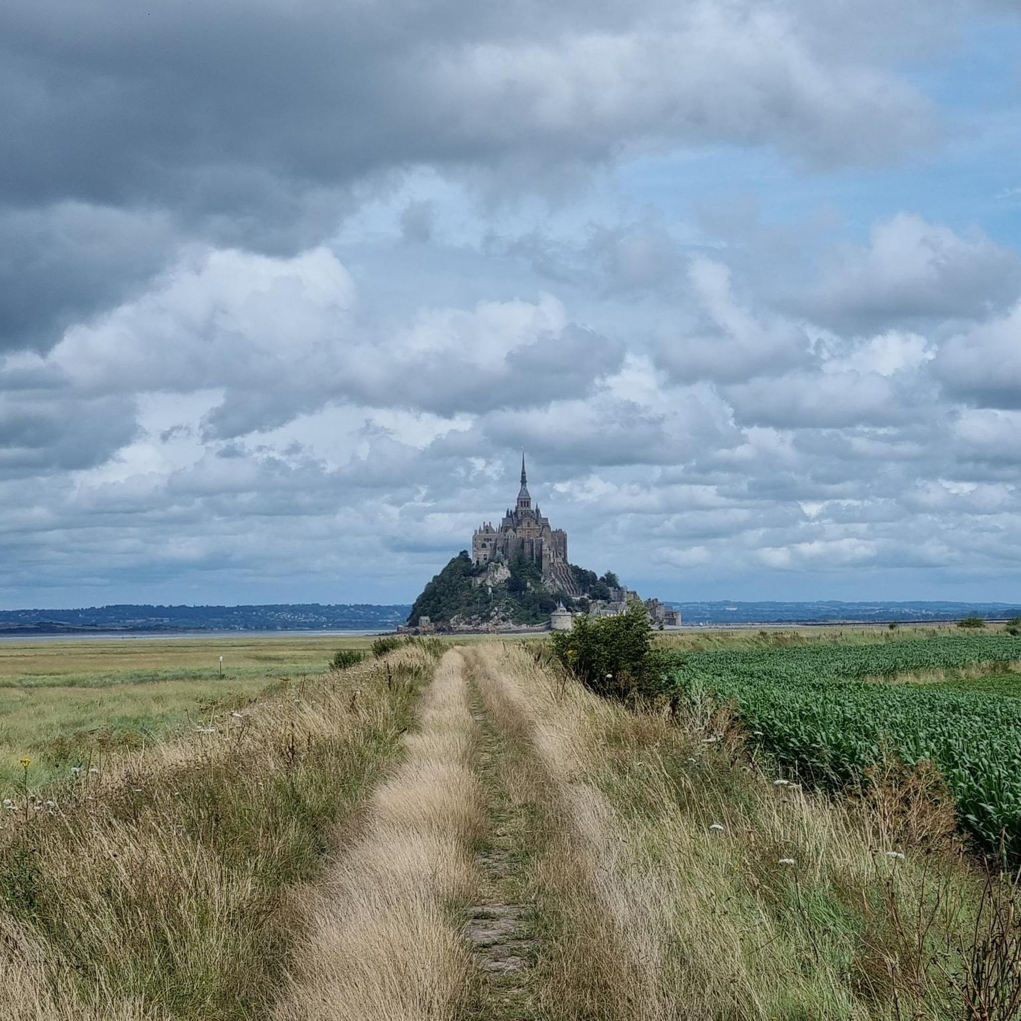
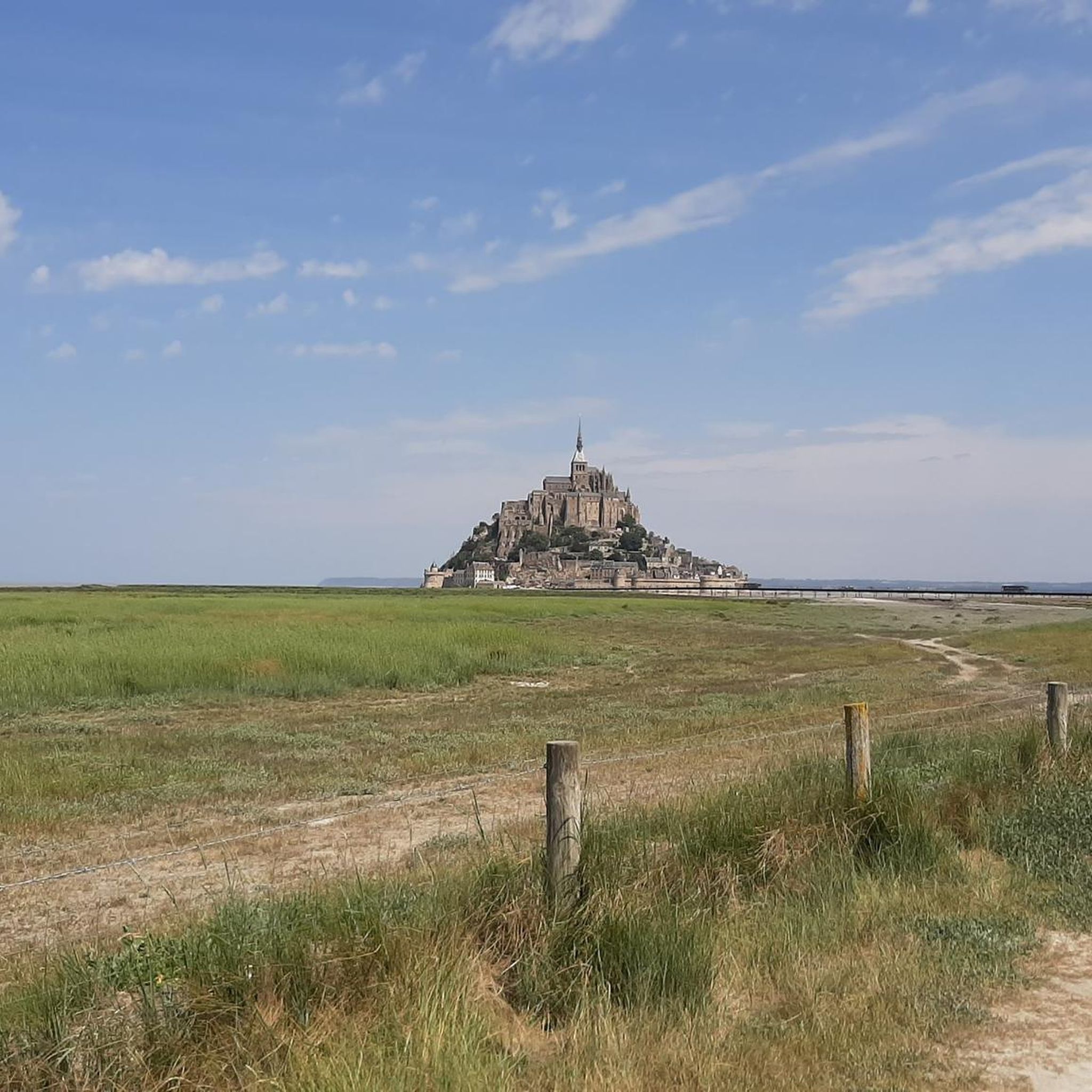
This greenway between Mont Saint-Michel and Pontorson alternates between magnificent stretches with unobstructed views and shaded sections with bucolic charm. Away from road traffic, this section reveals the unique calm of nature.
0
0

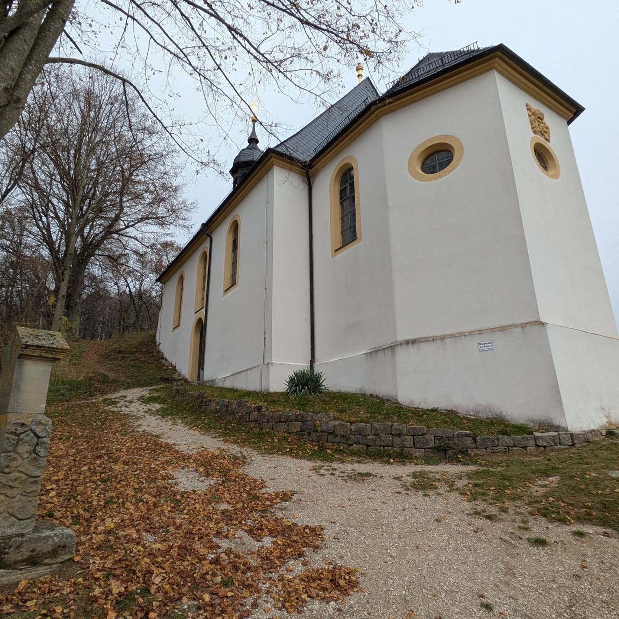
beautiful old town church
1
0
beautiful avenue of weeping willows along the stream
0
0
beautiful avenue of mourning willows along the river
0
0
a bridge over the river is always useful
1
1

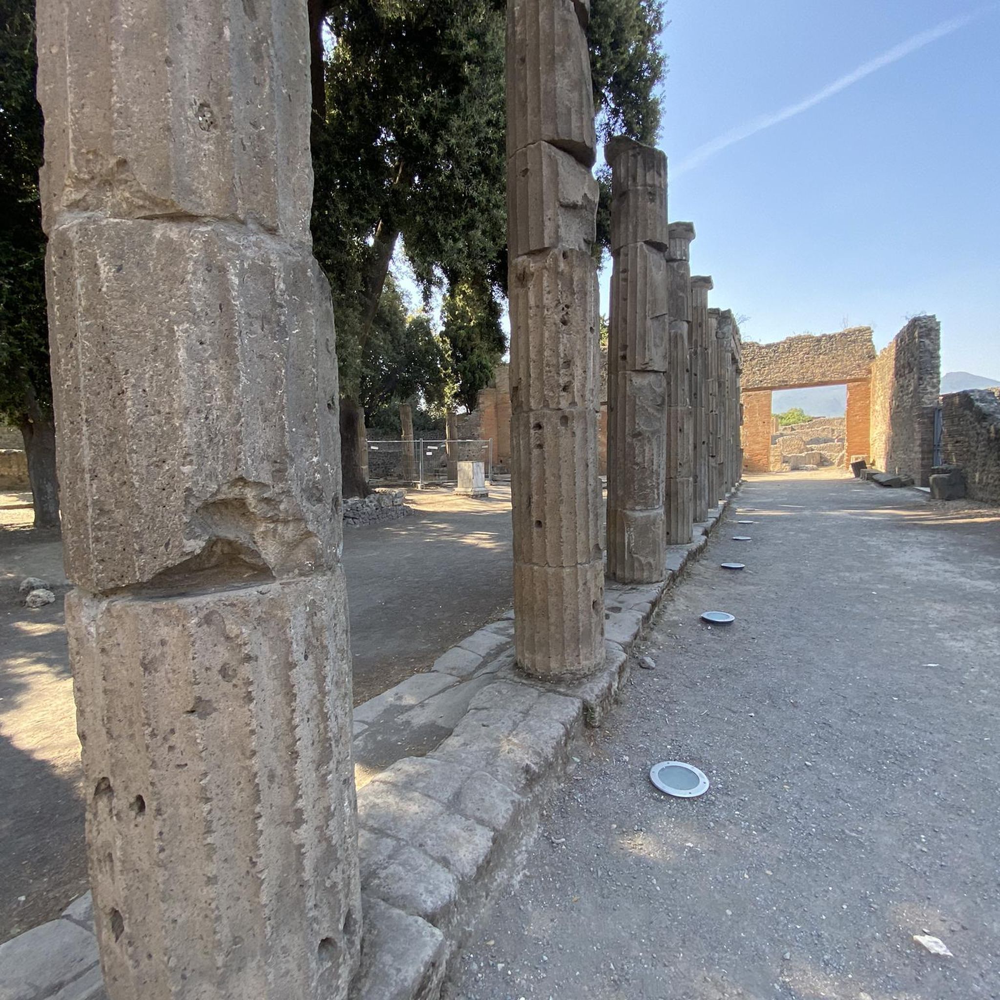
A place steeped in history that makes you think
1
0

The place is easy to explore by bike
2
0
Frequently Asked Questions
How many hiking trails are there in Villiers-Le-Pré?
Villiers-Le-Pré offers a diverse network of over 40 hiking trails. These routes cater to various preferences, from gentle strolls through village surroundings to longer paths across open countryside.
Are there easy hikes suitable for beginners or casual walkers?
Yes, Villiers-Le-Pré is ideal for beginners and casual walkers, with 21 easy routes available. Trails like the Notre-Dame de Pontorson church – Beautiful avenue loop from Pontorson offer pleasant, flat paths through charming village areas, perfect for a relaxed outing.
Are the hiking trails in Villiers-Le-Pré suitable for families with children?
Many of the trails in Villiers-Le-Pré are well-suited for families. The generally flat terrain and minimal elevation changes make for enjoyable walks with children. Look for the 'easy' graded routes for the most family-friendly options.
Can I bring my dog on the hiking trails?
Yes, dogs are generally welcome on the hiking trails around Villiers-Le-Pré. It's always a good idea to keep your dog on a leash, especially when passing through agricultural areas or near livestock, and to carry waste bags.
Are there circular walking routes available?
Yes, many of the trails in Villiers-Le-Pré are circular, allowing you to start and end your hike at the same point. An example is the Beautiful avenue – Pont d'Orson loop from Pontorson, which offers a convenient loop through the local area.
What kind of scenery can I expect on the hikes?
Hikes in Villiers-Le-Pré feature gentle paths, open countryside, and charming village surroundings. You'll experience rural landscapes, often with views of local architecture and natural elements like the Couesnon river.
What are some notable viewpoints or attractions along the trails?
While hiking, you might encounter several interesting spots. Keep an eye out for Pont d'Orson and the scenic The Couesnon at Beauvoir. Some routes also offer a Breathtaking view of Mont Saint-Michel in the distance.
Is there public transport access to the hiking areas?
Villiers-Le-Pré is a rural area, so public transport options directly to trailheads might be limited. It's advisable to check local bus schedules if you plan to rely on public transport. Many routes are accessible from central points like Pontorson.
What about parking facilities near the trailheads?
Parking is generally available in or near the villages and towns from which the trails depart, such as Pontorson. Specific parking information for individual trailheads may vary, so it's good to plan your starting point in advance.
What do other hikers enjoy most about hiking in Villiers-Le-Pré?
The area is highly rated by the komoot community, with an average score of 4.4 stars from over 500 reviews. Hikers often praise the peaceful atmosphere, the well-maintained paths, and the accessibility of the routes for all ability levels.
Are there any longer, more challenging routes for experienced hikers?
While the region is known for its gentle paths, there are a few moderate options for those seeking a longer walk. The Notre-Dame de Pontorson church – Beautiful avenue loop from Pontorson-Mont-Saint-Michel is a 7.8-mile (12.6 km) trail that provides a more extended experience through open countryside.
Are there places to eat or drink near the hiking paths?
You'll find cafes and pubs in the nearby villages and towns, particularly in Pontorson, which serves as a common starting point for many hikes. These establishments offer opportunities to refuel before or after your walk.
What is the best season for hiking in Villiers-Le-Pré?
The gentle nature of the trails makes them enjoyable throughout much of the year. Spring and autumn offer pleasant temperatures and beautiful scenery, while summer is also popular. Even in winter, many paths remain accessible for a crisp walk, though conditions can vary.
Most popular routes around Villiers-Le-Pré
Most popular attractions around Villiers-Le-Pré

Get inspired with the komoot mobile app


Explore more
Browse the best Hikes in other regions.
