The best road cycling routes around La Châtre-Langlin
4.4
(10)
103
riders
35
rides
Road cycling routes around La Châtre-Langlin traverse a diverse landscape, characterized by tranquil bocage scenery, river valleys, and a mix of flatter plains and undulating hills. The region transitions from the Champagne Berrichonne's plains to the more hilly Boischaut Sud, offering varied terrain elevation for road cyclists. Quiet, narrow roads are common, providing a serene cycling experience, with sections becoming increasingly hilly towards the source of the Indre river.
Best road cycling routes around La Châtre-Langlin
- The most popular road…
Last updated: June 27, 2026
19
riders
107km
05:10
1,210m
1,210m
Hard road ride. Very good fitness required. Mostly well-paved surfaces and easy to ride.
4
riders
12.4km
00:30
70m
70m
Easy road ride. Great for any fitness level. Mostly well-paved surfaces and easy to ride.

Sign up for free
8
riders
15.0km
00:39
150m
150m
Easy road ride. Great for any fitness level. Mostly well-paved surfaces and easy to ride.
10
riders
43.1km
01:56
400m
400m
Moderate road ride. Good fitness required. Mostly well-paved surfaces and easy to ride.
4.0
(2)
5
riders
58.7km
02:58
810m
810m
Moderate road ride. Good fitness required. Some segments of this route may be unpaved and difficult to ride.
Get access to more routes and recommendations from other explorers.
Sign up for free
Already have an account?
Our route recommendations are based on thousands of hikes, rides, and runs completed by other people on komoot.
Start today with a free account
Your next adventure awaits.
Login or Signup
Popular around La Châtre-Langlin
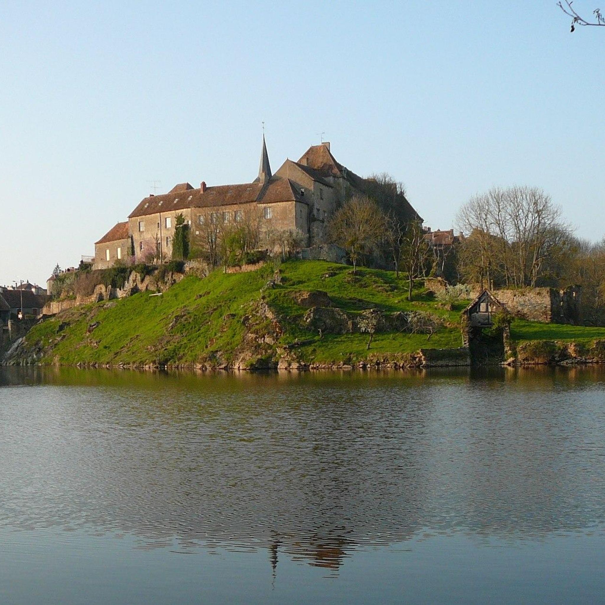

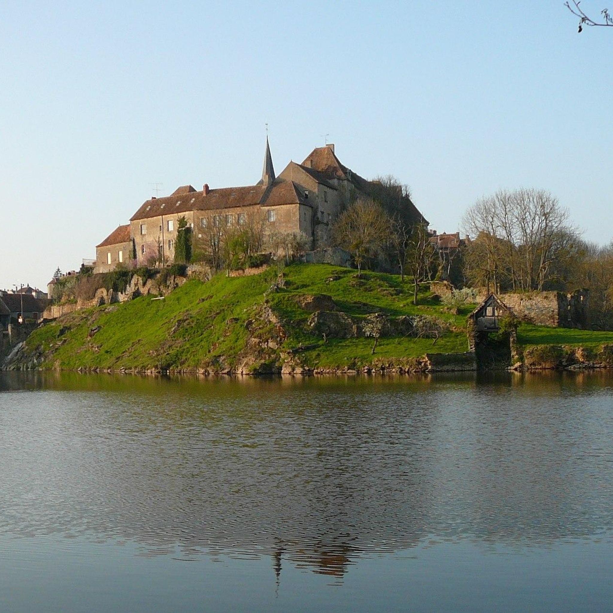
Tips from the Community

The Porte Saint-Jean is one of the old city gates of La Souterraine. What you see now is modest, but in the Middle Ages it was a serious entrance to the walled city. Why it's nice: This was literally the city's checkpoint. Anyone who wanted to enter was examined here. The name probably refers to a nearby chapel or hospital of Saint-Jean. You're essentially walking through a 13th-14th-century section here, without it being ostentatious. What many people miss: La Souterraine was an important stop on a side route of the pilgrimage route to Santiago. It's likely that pilgrims, traders, and soldiers passed through here centuries ago.
3
0
Viewpoint at the Barrage d’Éguzon: impressive views of the dam and lake over the Creuse River. The rushing water and the reflection in the lake create a sense of tranquility and power. A perfect spot to pause and enjoy the combination of nature and technology.
3
0

No comment, I went there in the middle of the night!
0
0

It is impossible to cross the dam. It is a private area that cannot be crossed.
0
0

The Saint-Jean gate is one of the emblems of La Souterraine. It was used to defend the city and was remodeled in the 15th century. We admire the two round turrets visible on the exterior facade. The door can be visited independently. To do this, simply ask for the keys at the Bar du Marché.
0
0

Magnificent water reservoir, a place preserved from mass tourism ;)
0
0

From the bottom of the dam, you will have to carry the bike, then push to swallow the 80 meters of altitude difference and enjoy the view.
1
0

left off the road, then a sharp left will take you into the woods trail.
0
0
Frequently Asked Questions
What kind of terrain can I expect when road cycling around La Châtre-Langlin?
The region offers a diverse landscape for road cyclists. You'll find tranquil 'bocage' scenery with small fields and hedgerows, alongside beautiful river valleys like the Anglin. The topography transitions from flatter plains in the Champagne Berrichonne to more undulating and hilly areas in the Boischaut Sud, providing varied challenges and vistas. Roads are generally quiet and narrow, offering a serene cycling experience.
How many road cycling routes are available in La Châtre-Langlin?
There are over 30 road cycling routes around La Châtre-Langlin, catering to various skill levels. This includes 9 easy routes, 23 moderate routes, and 2 difficult routes, ensuring options for every cyclist.
Are there any easy road cycling routes suitable for beginners or a relaxed ride?
Yes, La Châtre-Langlin offers several easy routes. For a gentle ride, consider Le Bois-du-Recloux loop from Saint-Georges-les-Landes, an easy 7.7-mile (12.4 km) path with minimal elevation, typically completed in about 30 minutes. Another option is the Château de Chazelet loop from Saint-Gilles, an 11.7-mile (18.9 km) trail through varied landscapes.
What are some challenging road cycling routes for experienced riders?
For a more demanding ride, the Wooded Trail – Le Dorat Collegiate Church loop from Saint-Sulpice-les-Feuilles is a difficult 66.7-mile (107.3 km) route with significant elevation gain, taking around 5 hours to complete. This route offers challenging climbs through wooded areas.
What natural features or landmarks can I see along the road cycling routes?
Road cycling routes often pass through charming villages and past historical landmarks. You might encounter sites like Brosse Castle. The scenic views and varied terrain along the Anglin Gorges also offer appealing cycling opportunities. The region's 'bocage' scenery and river valleys are prominent natural features.
Are there any long-distance road cycling routes or loops in the area?
Yes, for longer rides, the Wooded Trail – Le Dorat Collegiate Church loop from Saint-Sulpice-les-Feuilles is a substantial 66.7-mile (107.3 km) route. Another option is the Church of La Chapelle-Baloue loop from Mouhet, a moderate 38.6-mile (62.1 km) route with considerable elevation.
What is the best time of year for road cycling in La Châtre-Langlin?
The region is generally pleasant for road cycling from spring through autumn. The 'bocage' scenery is particularly vibrant in spring and early summer. While specific conditions vary, the quiet roads and diverse landscapes make it enjoyable across these seasons. Always check local weather forecasts before heading out.
What do other cyclists say about road cycling in La Châtre-Langlin?
The road cycling routes in La Châtre-Langlin are highly rated by the komoot community, with an average score of 4.3 stars from over 9 reviews. Cyclists often praise the serene experience on quiet, narrow roads and the diverse terrain, from flatter plains to undulating hills.
Are there any specific cycling routes that connect to the broader Indre department?
Yes, the 'Indre à Vélo' cycle route includes sections that run through the broader Indre department, with parts becoming increasingly hilly as they approach the source of the Indre river beyond La Châtre. For more information on this route, you can visit France Vélo Tourisme.
Are there family-friendly road cycling options in La Châtre-Langlin?
While road cycling generally requires some experience, the easier routes with less elevation are more suitable for families with older children or those looking for a relaxed pace. The Le Bois-du-Recloux loop from Saint-Georges-les-Landes is an easy option with gentle terrain.
Where can I find amenities like cafes or places to rest along the routes?
Cycling routes often pass through charming villages where you may find local cafes or small shops. For example, the nearby town of Saint-Benoît-du-Sault, just 4 km away, is a recommended site for visitors and likely offers amenities. Planning your route with stops in mind is advisable.
Most popular attractions around La Châtre-Langlin

Get inspired with the komoot mobile app


Explore more
Browse the best Road cycling routes in other regions.
