The best walks and hikes around Huisnes-Sur-Mer
4.6
(1861)
25,701
hikers
218
hikes
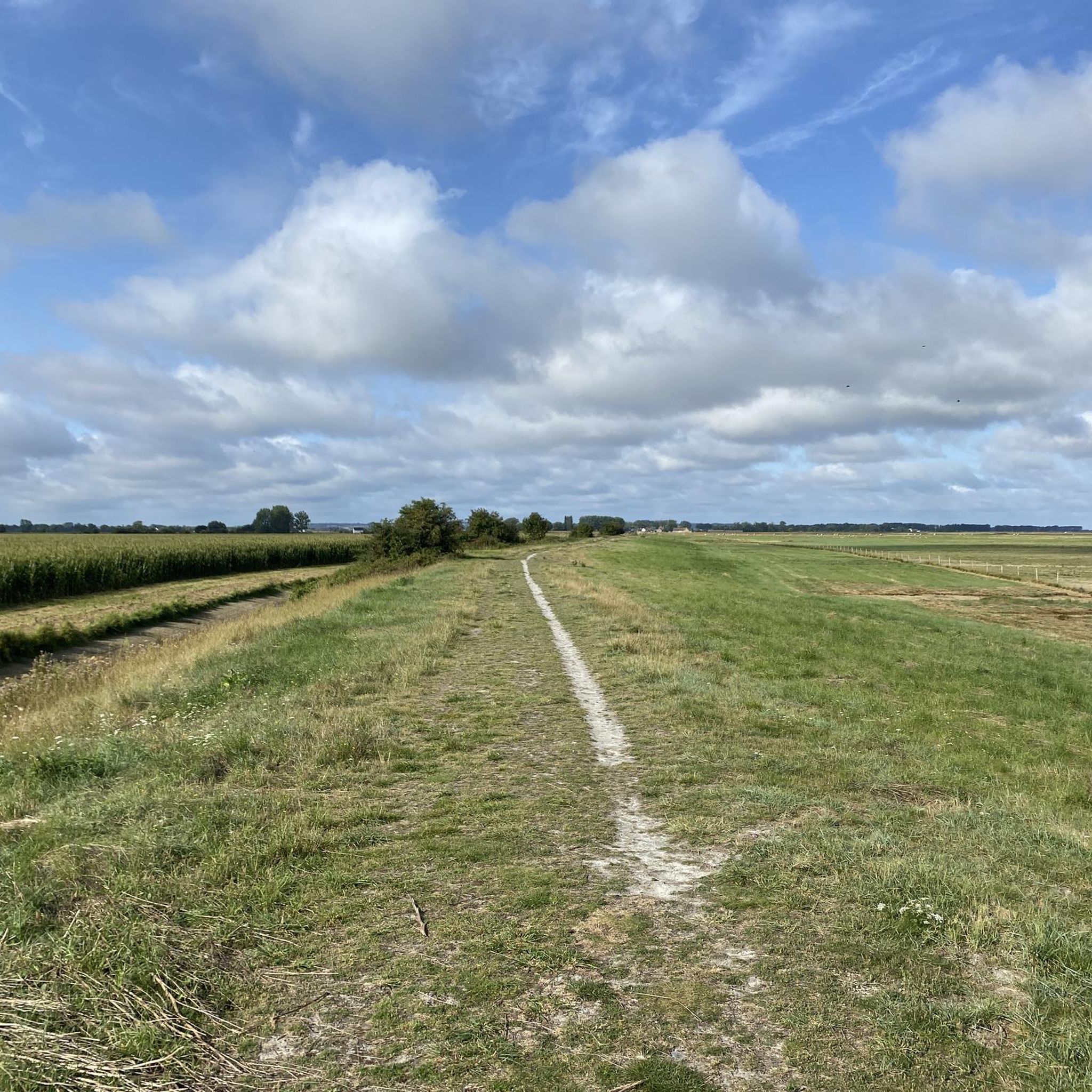
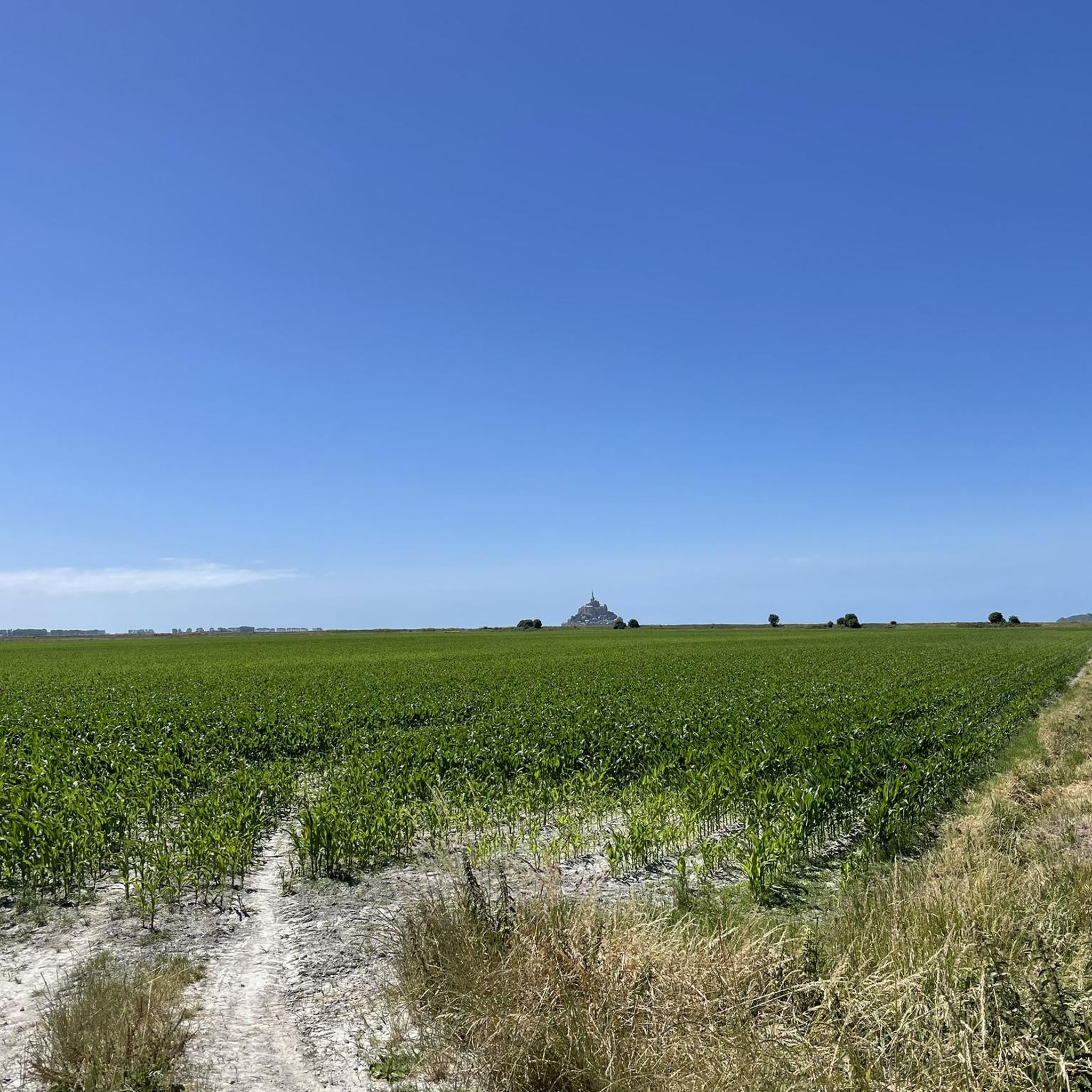
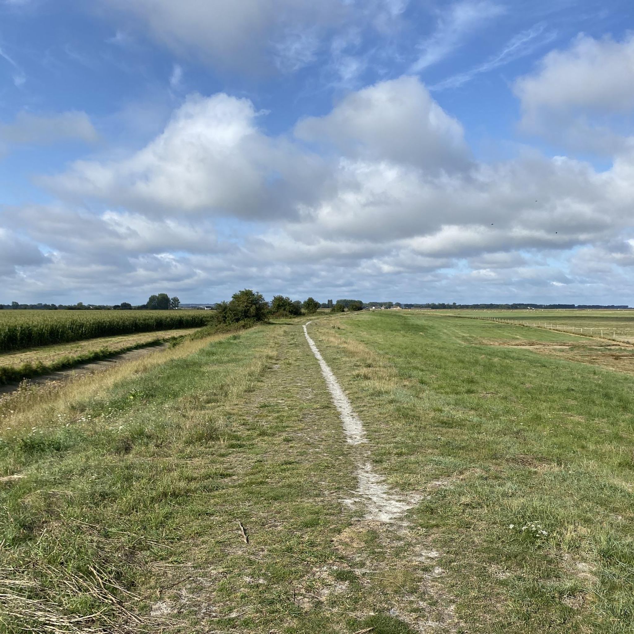
Hiking around Huisnes-Sur-Mer offers diverse terrain with direct views of Mont Saint-Michel. The region features expansive natural foreshores known as the Grèves, and trails often follow the banks of the Couesnon River. Hikers can explore polders and marshland, providing opportunities to observe aquatic birds and experience unique saline meadows. The landscape includes a mix of coastal paths, countryside, wooded areas, and hillsides, with some routes traversing bocage and heathland.
Best hiking trails in Huisnes-Sur-Mer
- The most popular hiking route is…
Last updated: July 5, 2026
4.8
(16)
168
hikers
6.72km
01:42
10m
10m
Easy hike. Great for any fitness level. Easily-accessible paths. Suitable for all skill levels.
4.8
(8)
26
hikers
Moderate hike. Good fitness required. Easily-accessible paths. Suitable for all skill levels.

Sign up for free
5.0
(2)
14
hikers
6.38km
01:37
20m
20m
Easy hike. Great for any fitness level. Easily-accessible paths. Suitable for all skill levels.
5.0
(1)
7
hikers
8.49km
02:09
20m
20m
Moderate hike. Good fitness required. Easily-accessible paths. Suitable for all skill levels.
5.0
(2)
10
hikers
Easy hike. Great for any fitness level. Easily-accessible paths. Suitable for all skill levels.
Get access to more routes and recommendations from other explorers.
Sign up for free
Already have an account?
Our route recommendations are based on thousands of hikes, rides, and runs completed by other people on komoot.
Start today with a free account
Your next adventure awaits.
Login or Signup

Tips from the Community

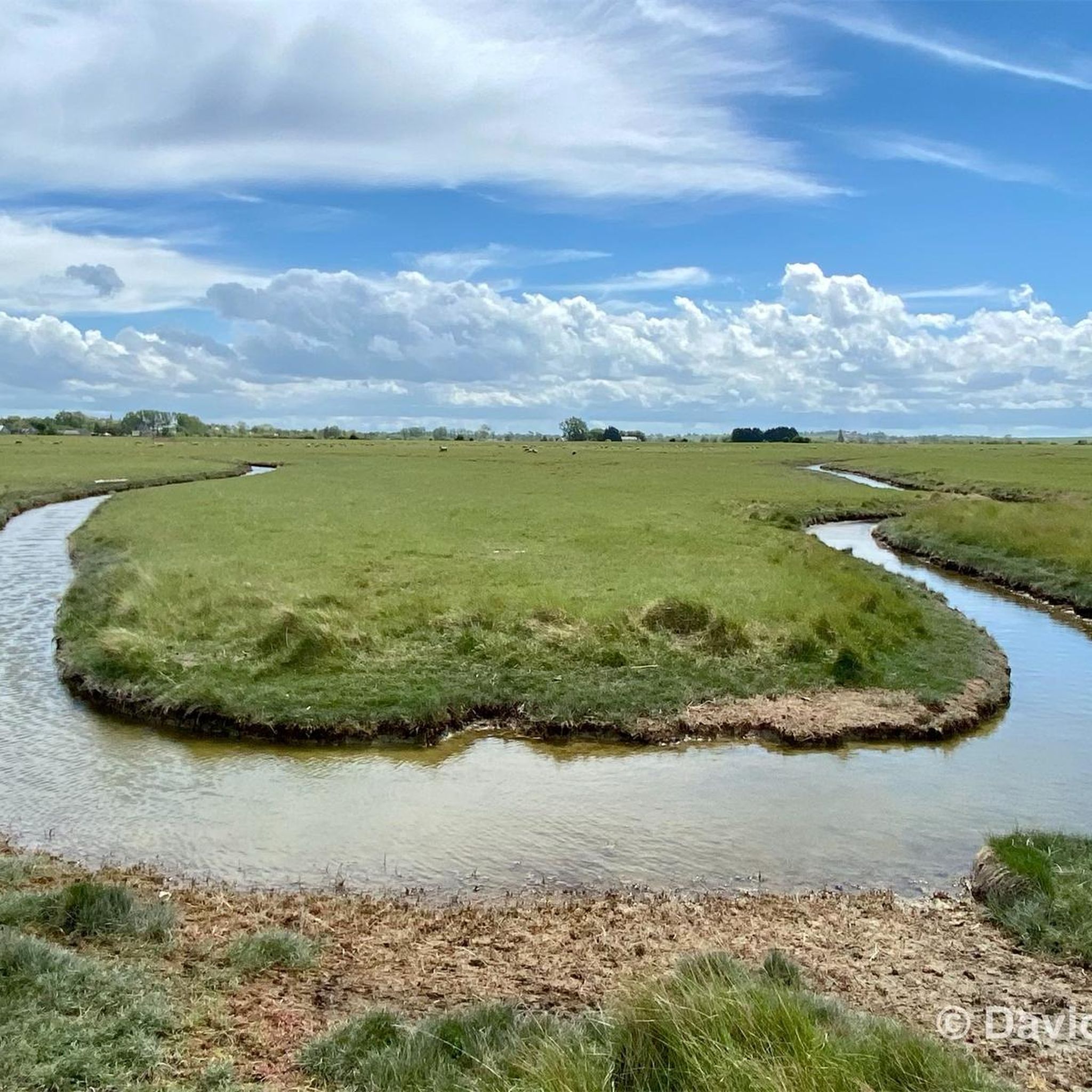
Numerous tidal creeks crisscross the meadows, channeling seawater through the vast area at low and high tide. These small watercourses, with their reflections and wide grassy areas, also form a popular photo spot and offer impressive motifs, especially with Mont-Saint-Michel in the background.
28
0
Numerous inlets criss-cross the meadows and channel seawater through the vast terrain at low and high tide. These small watercourses with their reflections and the wide grassy areas also form a popular photo spot and offer impressive motifs, especially with Mont-Saint-Michel in the background.
1
0
The salt marshes of the Bay of Mont-Saint-Michel shape the unique landscape of Normandy. Regular flooding with seawater creates a special vegetation that is perfectly adapted to the saline conditions. The famous salt marsh sheep (*Prés-salés*), whose meat acquires a special flavor due to their special diet, graze in these meadows. The vast areas are also a valuable habitat for numerous animal and plant species and offer an impressive view of Mont-Saint-Michel at low tide.
1
0
Around Mont Saint-Michel, in addition to the famous salt marsh sheep (Prés-salés), Suffolk sheep or Suffolk crosses can occasionally be found. However, the typical salt marsh sheep of the bay predominantly belong to other, regionally adapted breeds.
26
0
Narrow tidal channels crisscross the salt marshes around Mont-Saint-Michel like fine veins. At high tide, they fill with seawater, and at low tide, they channel the water back to the open mudflats. This constantly changing network of channels shapes the unique landscape of the bay and, from a bird's-eye view, resembles a branching river system.
1
0

Arrive there quite early in the morning, then you will avoid the biggest crowds
1
0

Parts of the route along the sea do not exist or are forbidden for bicycles
0
0
La Roche Torin is a prominent vantage point in the Bay of Mont Saint-Michel. This spot offers a unique view of the bay and is a popular destination for hikers and photographers, especially during strong tides (coefficient over 100). The tidal coefficient is the most important indicator for assessing the dynamics of the bay. A coefficient over 100 indicates spectacular tide conditions and a natural spectacle. Here in the Bay of Mont Saint-Michel, the highest tides in Europe occur, with a tidal range of up to 15 meters between high and low tide. Tidal range Mont Saint-Michel: https://tides4fishing.com/fr/basse-normandie/le-mont-saint-michel#_tidal_coefficient
1
0
Frequently Asked Questions
How many hiking trails are available in Huisnes-Sur-Mer?
Huisnes-Sur-Mer offers a selection of 14 hiking trails, ranging from easy strolls to more challenging long-distance paths. These routes provide diverse terrain and direct views of Mont Saint-Michel.
What kind of terrain can I expect on hikes around Huisnes-Sur-Mer?
The region features a mix of coastal paths, countryside, wooded areas, and hillsides. You'll encounter expansive natural foreshores known as the Grèves, polders, and marshland, as well as trails along the Couesnon River. Some routes also traverse bocage and heathland.
Are there any easy hiking routes suitable for a relaxed walk?
Yes, there are 6 easy hiking routes in Huisnes-Sur-Mer. For example, the La Roche Torin – View of Mont Saint-Michel loop from Huisnes-sur-Mer is an easy 4.4-mile (7.1 km) trail that offers direct Mont Saint-Michel vistas through open areas.
What are the best times of year to go hiking in Huisnes-Sur-Mer?
Autumn is particularly good for observing diverse aquatic birds in the polders and marshlands. Generally, the region's varied terrain and coastal views make it enjoyable throughout the warmer months, but always check local weather conditions before heading out.
Are there any circular walks in Huisnes-Sur-Mer?
Yes, many routes in the area are circular. For instance, the Le Marquis de la Guintré – La Roche Torin loop from Huisnes-sur-Mer is a moderate 8.5-mile (13.6 km) trail offering varied scenery through the local countryside.
What landmarks or viewpoints can I see while hiking?
Many trails offer panoramic views of the iconic Mont Saint-Michel. You can also explore the unique polders and marshland, or walk along the scenic Couesnon River. Other notable points of interest include the Grouin du Sud viewpoint and the Château d'Avranches.
Are there any longer, more challenging hikes in the area?
Yes, for those seeking a challenge, the View of Mont Saint-Michel – The mountain loop from Huisnes-sur-Mer is a difficult 18.3-mile (29.5 km) path. This longer trail provides extensive views of Mont Saint-Michel across the landscape.
What do other hikers enjoy most about Huisnes-Sur-Mer?
The area is highly rated by the komoot community, with an average score of 4.5 stars from over 1500 reviews. Hikers frequently praise the panoramic views of Mont Saint-Michel, the unique polders and marshland, and the scenic walks along the Couesnon River.
Are there family-friendly activities or trails in Huisnes-Sur-Mer?
While specific family-friendly trails are not detailed in the guide, the region is known for offering family-oriented outdoor activities like treasure hunts within the village of Huisnes-Sur-Mer, which incorporate local viewpoints and history. Many of the easier routes would also be suitable for families.
Is there public transport or parking available for hikers?
The guide does not specify public transport options directly to trailheads. However, Huisnes-Sur-Mer is a commune, and parking is generally available within the village or at common starting points for popular trails. It's advisable to check specific route descriptions for parking details.
Can I combine hiking with cultural or historical visits?
Absolutely. Hiking in Huisnes-Sur-Mer can be combined with visits to historical landmarks such as the German Ossuary and the Church of Saint Pierre, adding a cultural dimension to your outdoor activities.
What are the elevation changes like on trails in Huisnes-Sur-Mer?
The elevation changes are generally moderate. For example, the Le Marquis de la Guintré – La Roche Torin loop has an elevation gain of about 41 meters, while the longer View of Mont Saint-Michel – The mountain loop has around 77 meters of ascent. This indicates a relatively gentle landscape with some rolling hills.
Most popular routes around Huisnes-Sur-Mer
Most popular attractions around Huisnes-Sur-Mer

Get inspired with the komoot mobile app


Explore more
Browse the best Hikes in other regions.
