The best walks and hikes around Montauroux
4.4
(937)
4,572
hikers
57
hikes
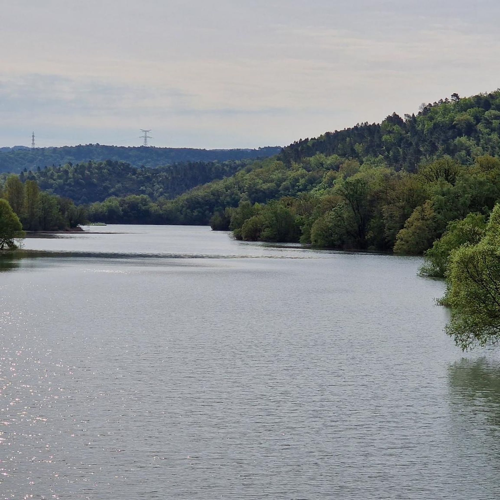
Hiking around Montauroux offers diverse landscapes, from its hilltop village setting to the shores of Lac de Saint-Cassien and the Siagne River valley. The region features extensive forested areas, including the Bois du Défens, and varied elevations ranging from 100 to 400 meters above sea level. Trails often follow riverbanks, traverse woodlands, and provide views over the lake and surrounding Provençal countryside.
Best hiking trails around Montauroux
- The most popular hiking route is Bois du Défens Trail and Pond – Tuves Bridge. loop from Parc de loisirs "Parcabout", a difficult 6.4 miles (10.3 km) trail that takes 3 hours 22 minutes to complete. This route explores forested areas and includes the historic Tuves Bridge.
- Another top favourite among local hikers is Siagne Canal – Tuves Bridge and Cave loop from Pessa, a moderate 5.6 miles (9.1 km) path. This trail follows the Siagne Canal and passes by the Tuves Bridge and local caves.
- Local hikers also love the Siagne River – Tuves Bridge and Cave loop from Parc de loisirs "Parcabout", a 3.6 miles (5.8 km) trail leading through the Siagne River valley, often completed in about 1 hour 58 minutes.
- Hiking around Montauroux is defined by its vast reservoir (Lac de Saint-Cassien), the Siagne River and its gorges, and extensive forested areas. The network offers options for easy strolls, moderate paths, and more challenging treks.
- The routes in Montauroux are highly rated by the komoot community with an average score of 4.4 stars from over 900 reviews. More than 4000 hikers have used komoot to explore Montauroux's varied terrain.
Last updated: May 12, 2026
4.4
(52)
218
hikers
9.18km
02:44
260m
260m
Moderate hike. Good fitness required. Mostly accessible paths. Sure-footedness required.
4.2
(27)
128
hikers
Moderate hike. Great for any fitness level. Mostly accessible paths. Sure-footedness required.

Sign up for free
3.7
(16)
41
hikers
Easy hike. Great for any fitness level. Easily-accessible paths. Suitable for all skill levels.
3.9
(12)
36
hikers
19.5km
05:11
190m
190m
Hard hike. Very good fitness required. Easily-accessible paths. Suitable for all skill levels.
4.7
(27)
146
hikers
9.68km
03:02
290m
280m
Hard hike. Good fitness required. Sure-footedness, sturdy shoes and alpine experience required.
Get access to more routes and recommendations from other explorers.
Sign up for free
Already have an account?
Our route recommendations are based on thousands of hikes, rides, and runs completed by other people on komoot.
Start today with a free account
Your next adventure awaits.
Login or Signup

Other adventures around Montauroux

Tips from the Community

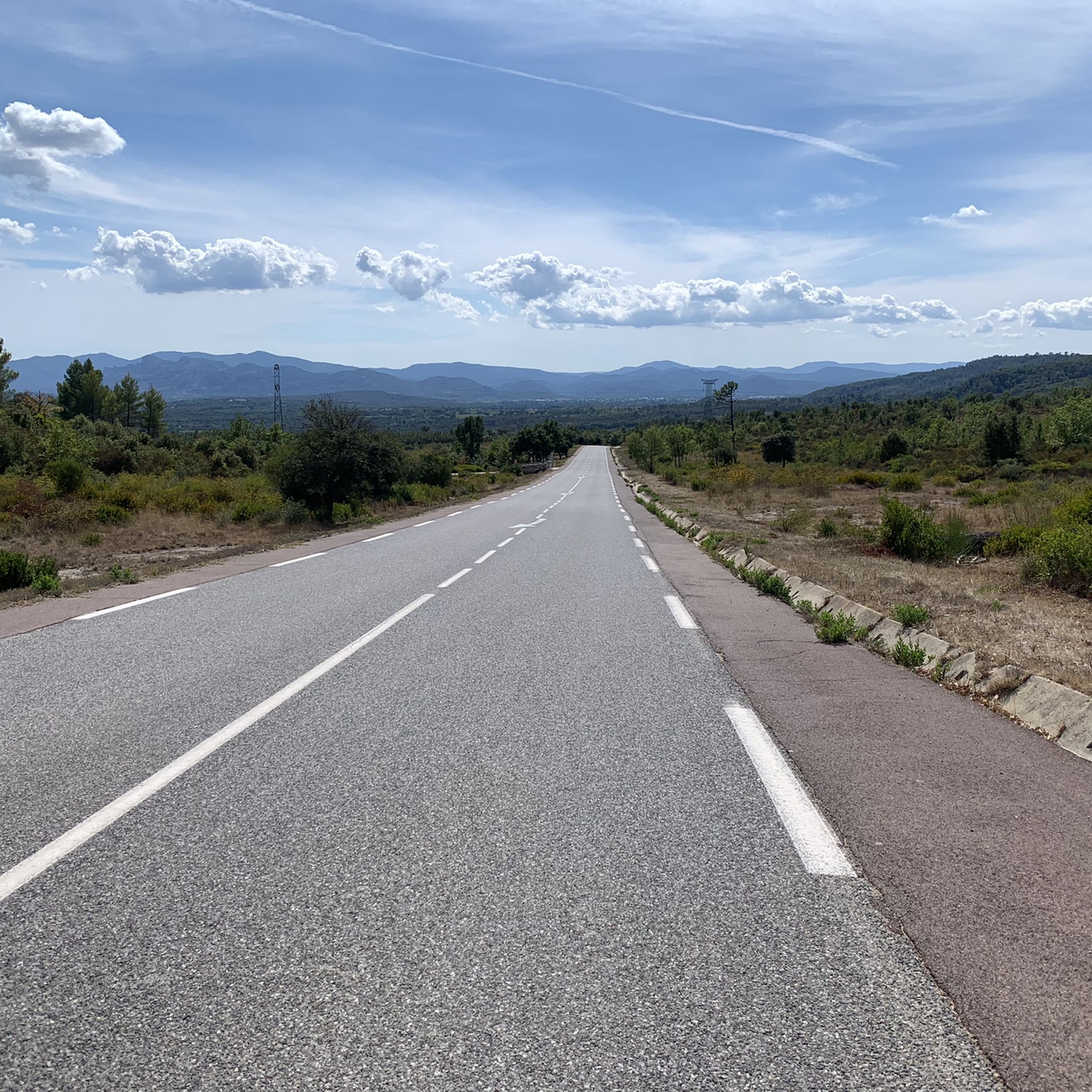
Main road can have a lot of truck traffic.
0
0

We live about 52 km further along the same canal.
0
0
Beautiful pebble beach, lovely water, you really need it after the descent. And later for the climb.
0
0
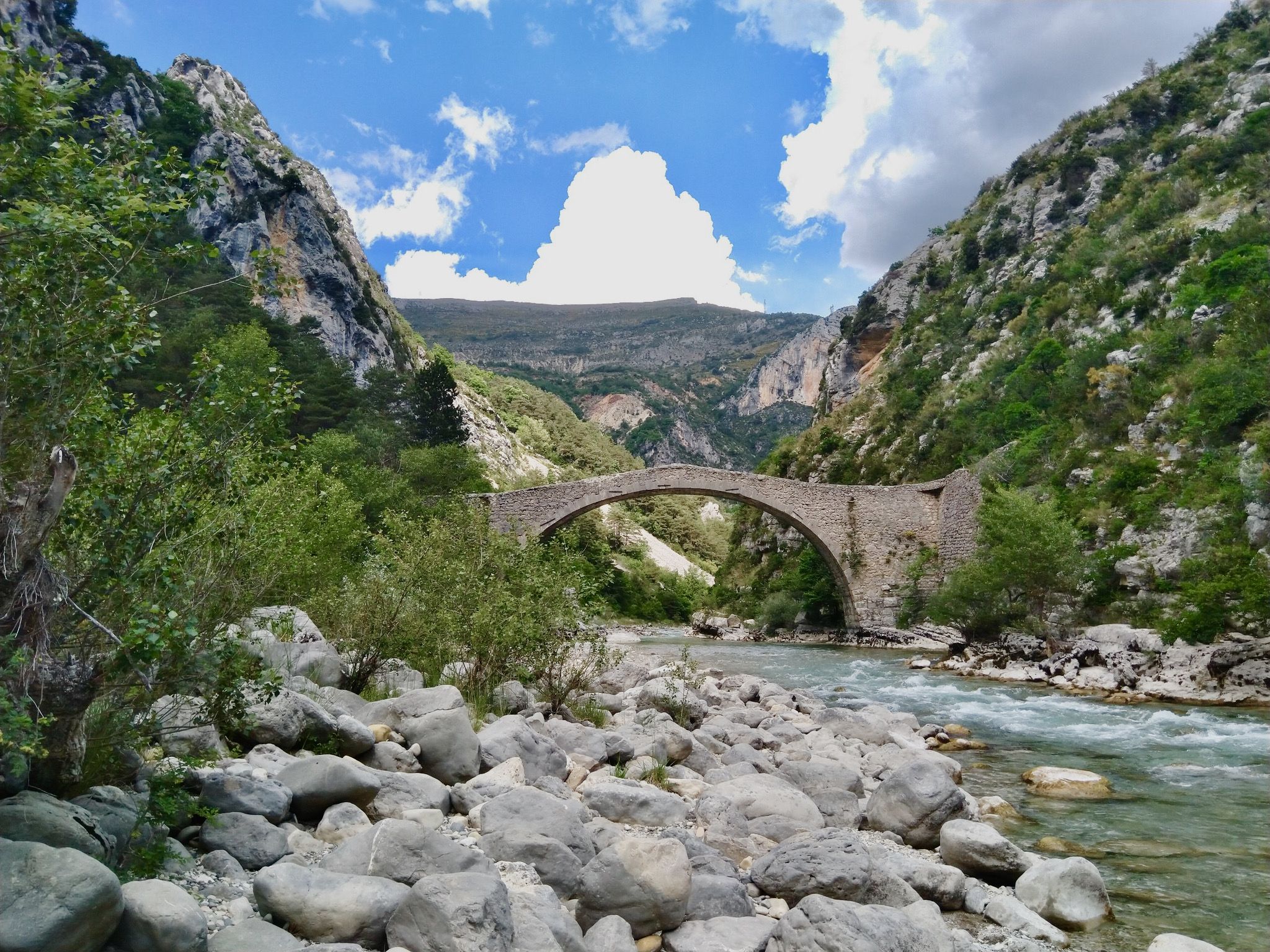
Beautiful spot with a historic bridge. It's a bit of a hike to get there and back up. Beautiful pebble beach.
1
0

Departing now around 9/9:30 a.m. Shaded route.
0
0
This is a good time. Shaded path.
0
0

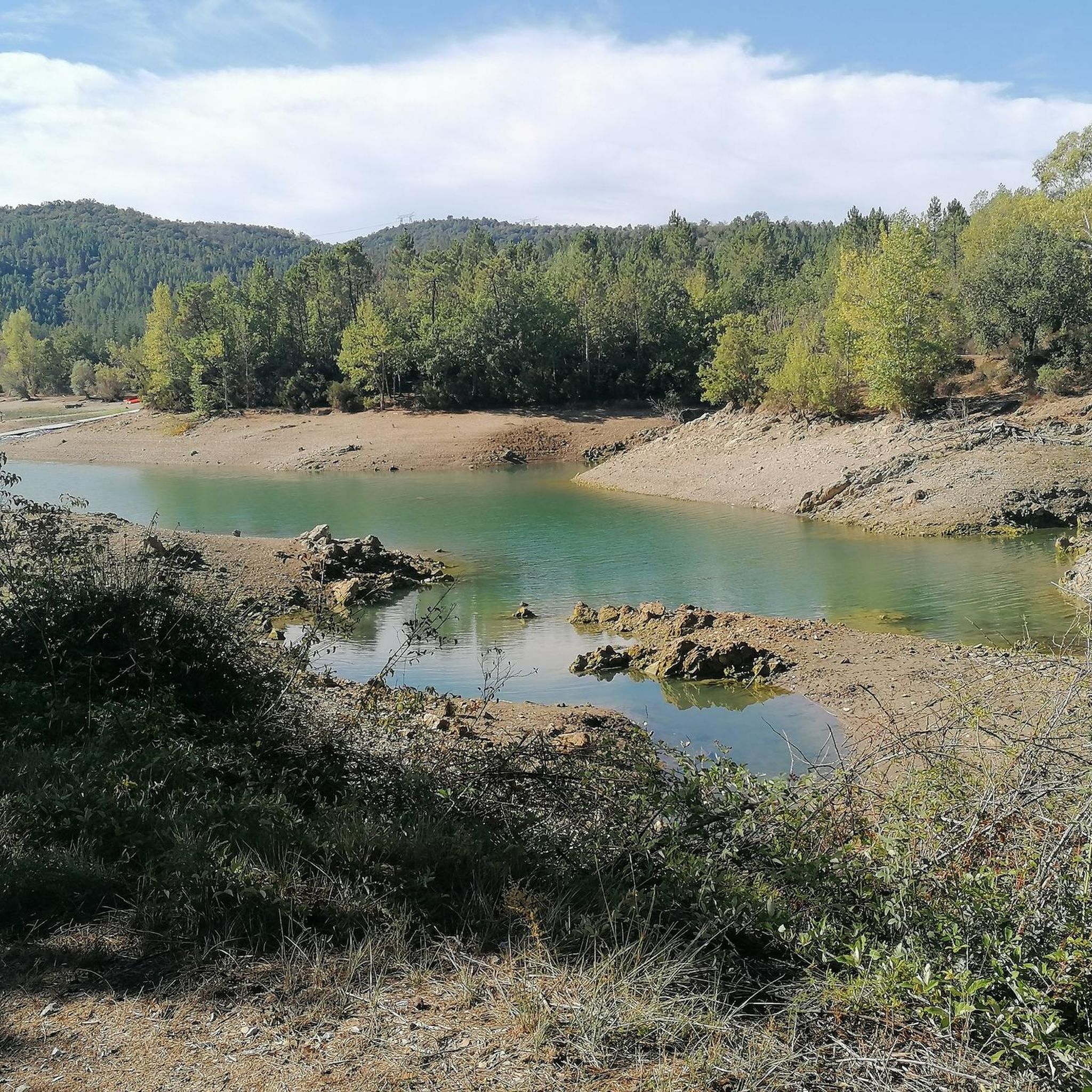
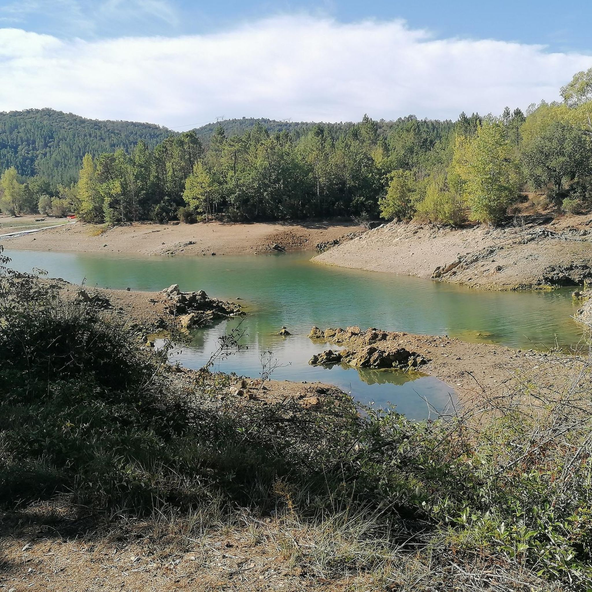
As you skirt around Lake Saint-Cassien, you will see its deep blue waters surrounded by green hills, a real treat in the early morning or at sunset. Along the way, you can stop at one of the lake's secluded coves for a refreshing swim or visit the surrounding cafes and restaurants to sample the local cuisine.
1
0
The most beautiful bridge on the Haute Siagne
2
0
Frequently Asked Questions
What types of landscapes can I expect to see while hiking around Montauroux?
Montauroux offers a diverse range of landscapes, from its charming hilltop village setting to the expansive shores of Lac de Saint-Cassien and the lush valley of the Siagne River. You'll find extensive forested areas, including the Bois du Défens with its centuries-old oak trees, and trails that provide views over the lake and the surrounding Provençal countryside.
Are there any easy hiking trails suitable for beginners or leisurely strolls?
Yes, Montauroux has several easy options. For a pleasant walk with views of the Biançon River, consider the View of the Biançon River loop from Lac de Saint-Cassien. The Bois du Défens also offers shaded and generally easy hiking options, perfect for a relaxed outing.
Can I find circular hiking routes in Montauroux?
Many of the trails around Montauroux are designed as circular routes, allowing you to start and end at the same point. For example, the Bois du Défens Trail and Pond – Tuves Bridge loop and the Siagne Canal – Tuves Bridge and Cave loop are popular circular options that explore different aspects of the region's natural beauty.
What natural features or landmarks can I discover on the trails?
Hiking in Montauroux allows you to explore several notable natural features and landmarks. You can visit the historic Tuves Bridge and Cave, walk along the scenic Siagne Canal, or enjoy the vast Lac de Saint-Cassien. The region also features the Gorges de la Haute-Siagne, a Natura 2000 Park known for its diverse flora and fauna.
Are there any hiking routes that include historical sites?
Yes, Montauroux offers trails that combine natural beauty with historical interest. You can hike to the poignant Ruins of the Malpasset Dam, which provides a historical journey. The village itself also has a heritage trail focusing on its ancient fountains and washhouses.
What is the best time of year to go hiking in Montauroux?
Montauroux is suitable for hiking throughout much of the year. Spring and autumn offer pleasant temperatures and vibrant scenery. Summer provides opportunities for shaded walks along riverbanks and swimming in spots like the Siagne River or Lac de Saint-Cassien. The extensive forested areas, such as the Bois du Défens, offer cooler options during warmer months.
Are there opportunities for wild swimming or water activities along the hiking trails?
Absolutely. The Lac de Saint-Cassien is a central attraction, offering opportunities for swimming, pedal boating, kayaking, and stand-up paddling. The Siagne River also provides shaded walks and refreshing swimming spots, particularly around the Tuves Bridge, which is known for its clear water.
What do other hikers say about the trails in Montauroux?
The hiking routes in Montauroux are highly regarded by the komoot community, with an average score of 4.4 stars from over 900 reviews. Hikers often praise the diverse terrain, from lake views to shaded forest paths, and the well-maintained nature of the trails.
How many hiking trails are available in the Montauroux area?
There are over 50 hiking trails available around Montauroux, catering to various fitness levels. This includes approximately 20 easy routes, 25 moderate paths, and 10 more challenging treks.
Are there any trails that offer significant viewpoints?
Yes, many trails in Montauroux offer excellent viewpoints. Routes along the shores of Lac de Saint-Cassien provide magnificent vistas over the reservoir. The hilltop village setting of Montauroux itself, often referred to as 'the balcony of the Estérel,' means that many walks in the area will offer panoramic views of the surrounding Provençal countryside.
Can I combine hiking with birdwatching in Montauroux?
Yes, the region is excellent for birdwatching. The Fondurane Reserve, located at the bottom of one of Lac de Saint-Cassien's arms, is an ornithological biological reserve and a crucial stopover for migratory birds. It's a protected ecosystem ideal for nature observation throughout the seasons, and trails nearby offer access to this unique habitat.
Most popular routes around Montauroux
Most popular attractions around Montauroux

Get inspired with the komoot mobile app


Explore more
Browse the best Hikes in other regions.
