The best walks and hikes around Courtils
4.5
(1744)
19,418
hikers
16
hikes
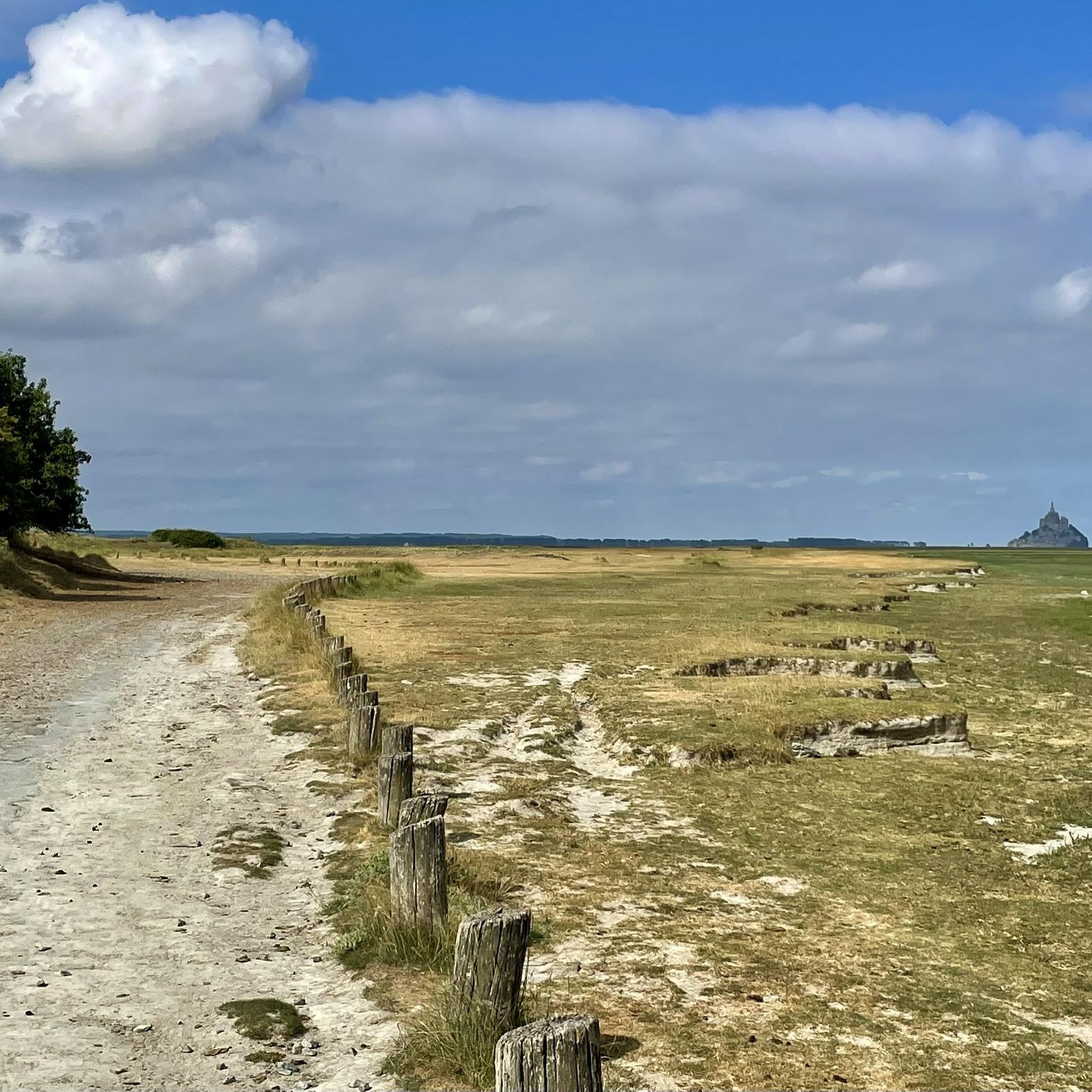
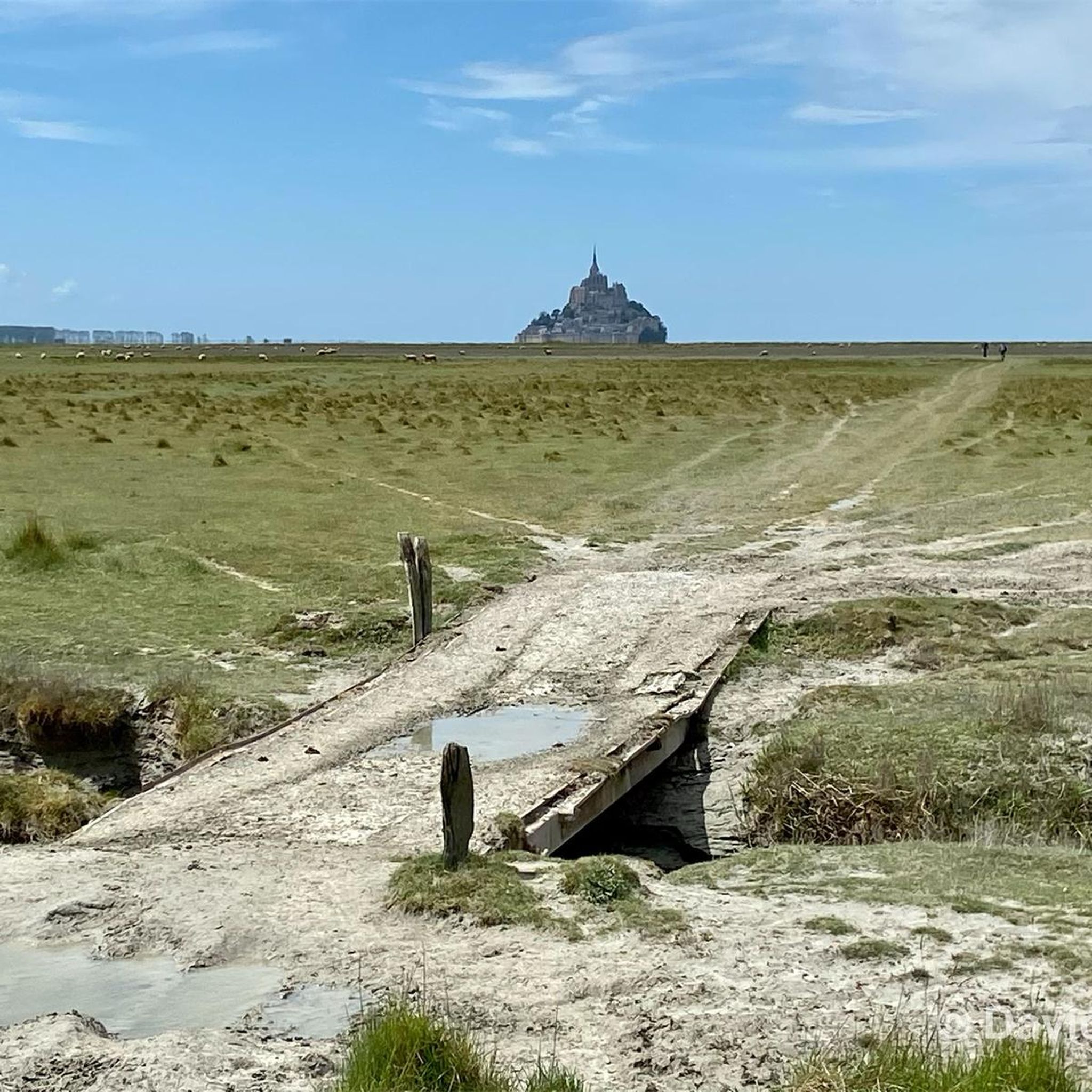
Hiking around Courtils offers access to a network of trails characterized by flat coastal plains and estuarine landscapes, providing open views across the bay. The region's low elevation ensures gentle gradients, making many routes accessible. These paths often feature vistas of Mont Saint-Michel and the surrounding marshlands.
Best hiking trails around Courtils
- The most popular hiking route is Grande Rue – View of Mont Saint-Michel loop from Courtils, a 13.9 miles (22.3 km) trail that takes 5 hours 38 minutes to complete, offering expansive views of Mont Saint-Michel.
- Another top favourite among local hikers is Le Marquis de la Guintré – La Roche Torin loop from Huisnes-sur-Mer, a moderate 8.5 miles (13.6 km) path exploring the area around La Roche Torin.
- Local hikers also love the La Roche Torin – View of Mont Saint-Michel loop from Céaux, a 6.1 miles (9.9 km) trail leading through coastal plains with views towards Mont Saint-Michel and La Roche Torin, often completed in about 2 hours 33 minutes.
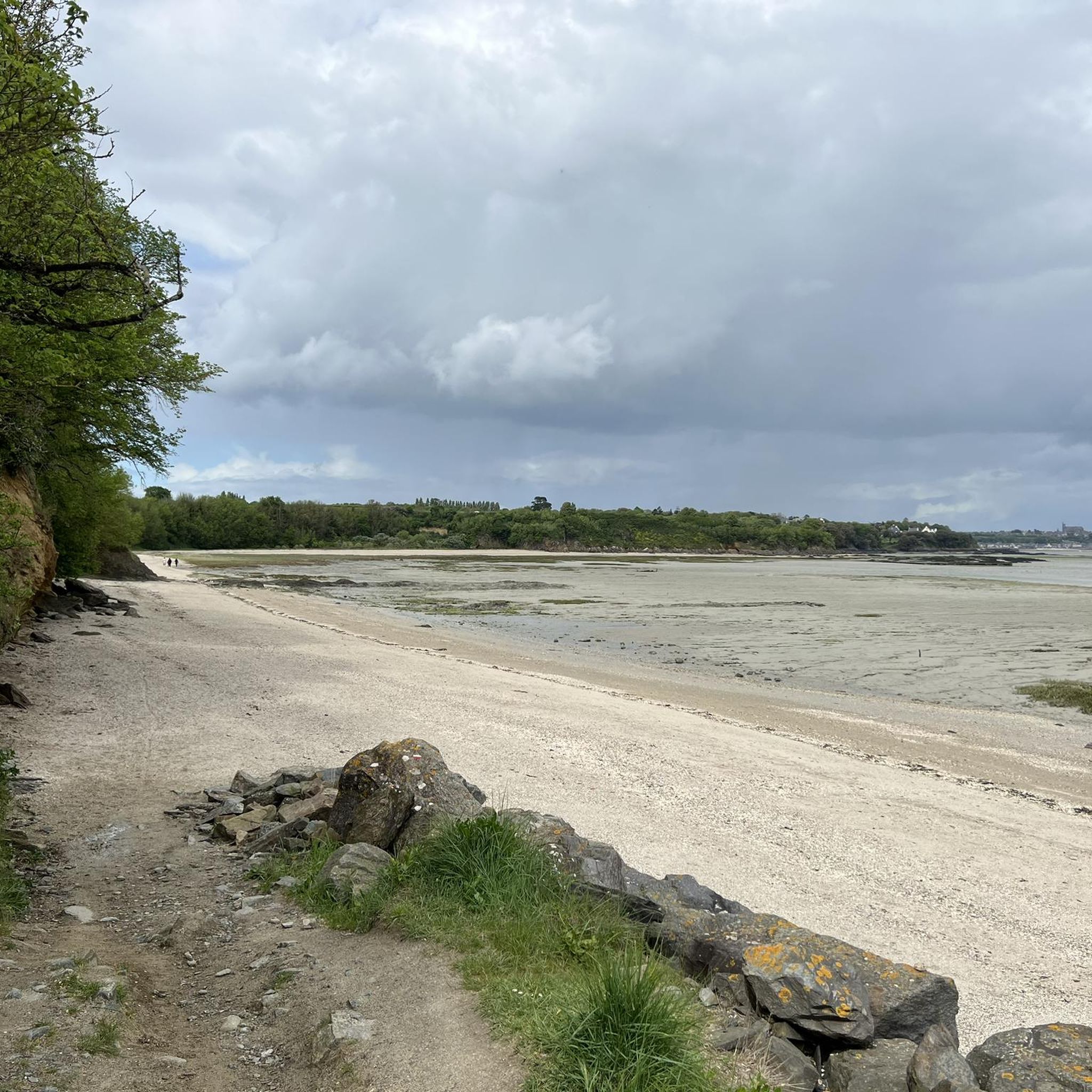
- Hiking around Courtils is defined by coastal plains, estuarine landscapes, and open views of Mont Saint-Michel. The network offers options for different ability levels, from easy walks to more challenging distances.
- The routes in Courtils are highly rated by the komoot community with an average score of 4.5 stars from over 2,100 reviews. More than 27,000 hikers have used komoot to explore Courtils's varied terrain.
Last updated: August 19, 2026
4.6
(18)
47
hikers
Easy hike. Great for any fitness level. Easily-accessible paths. Suitable for all skill levels.
5.0
(2)
35
hikers
18.5km
04:46
90m
90m
Moderate hike. Good fitness required. Easily-accessible paths. Suitable for all skill levels.

Sign up for free
4.8
(4)
18
hikers
6.38km
01:37
20m
20m
Easy hike. Great for any fitness level. Easily-accessible paths. Suitable for all skill levels.
4.8
(8)
28
hikers
10.4km
02:40
30m
30m
Moderate hike. Good fitness required. Easily-accessible paths. Suitable for all skill levels.
4.3
(4)
7
hikers
11.3km
02:54
50m
50m
Moderate hike. Good fitness required. Easily-accessible paths. Suitable for all skill levels.
Get access to more routes and recommendations from other explorers.
Sign up for free
Already have an account?
Our route recommendations are based on thousands of hikes, rides, and runs completed by other people on komoot.
Start today with a free account
Your next adventure awaits.
Login or Signup

Tips from the Community

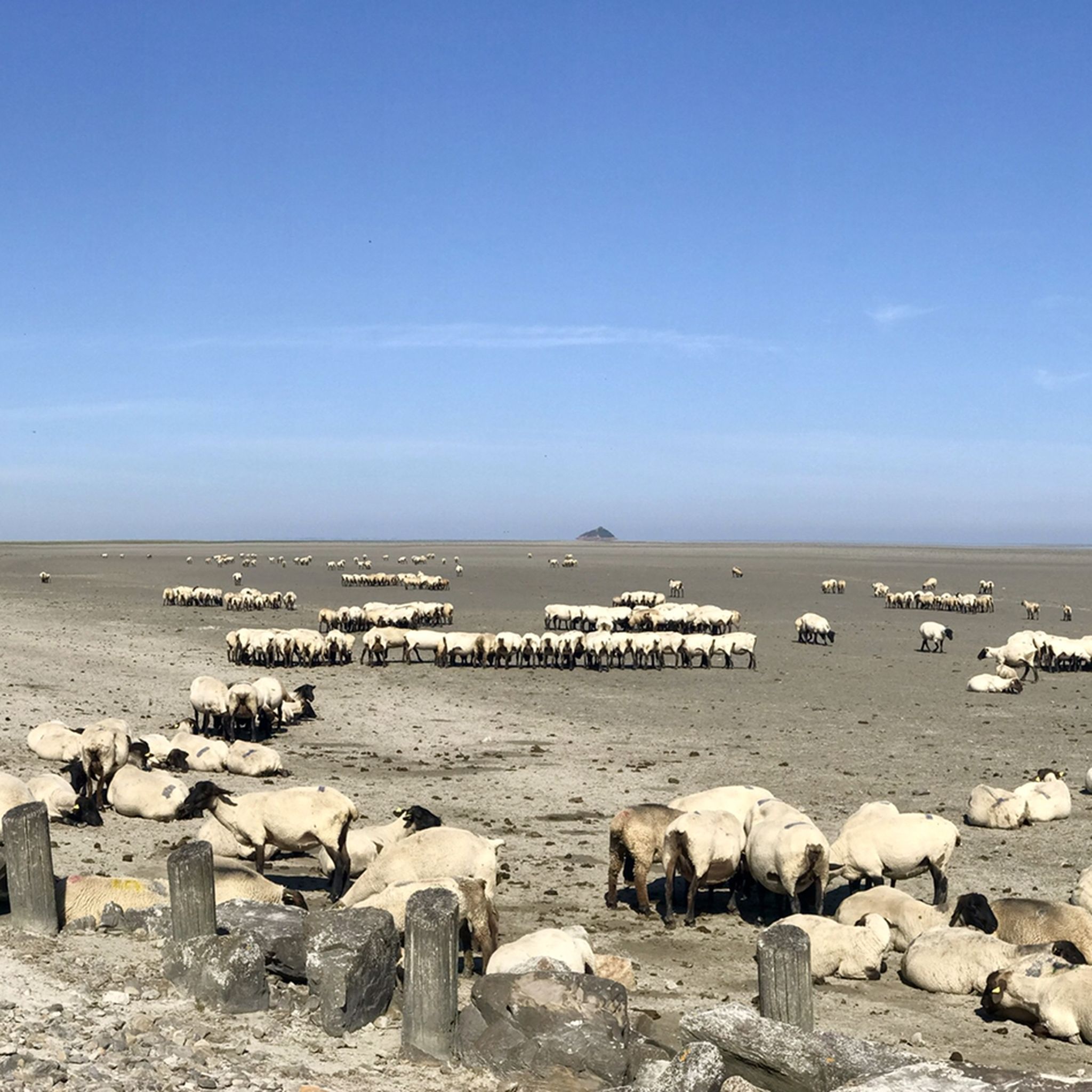
Sometimes the barriers close across the cycleway to allow the sheep to cross from the marshes to the farm. A bit like a level crossing
0
0

La Roche Torin is a prominent vantage point in the Bay of Mont Saint-Michel. This spot offers a unique view of the bay and is a popular destination for hikers and photographers, especially during strong tides (coefficient over 100). The tidal coefficient is the most important indicator for assessing the dynamics of the bay. A coefficient over 100 indicates spectacular tide conditions and a natural spectacle. Here in the Bay of Mont Saint-Michel, the highest tides in Europe occur, with a tidal range of up to 15 meters between high and low tide. Tidal range Mont Saint-Michel: https://tides4fishing.com/fr/basse-normandie/le-mont-saint-michel#_tidal_coefficient
1
0

This picnic area is shared with car and camper drivers, but that doesn't matter.
1
0


A place steeped in history that makes you think
1
0
Magnificent meadow landscape
0
0
Frequently Asked Questions
How many hiking trails are available around Courtils?
Courtils offers a wide selection of hiking opportunities, with over 250 routes recorded on komoot. These trails range from easy strolls to more challenging distances, catering to various fitness levels.
Are there easy hikes suitable for beginners or families in Courtils?
Yes, Courtils is well-suited for beginners and families, with 145 easy routes. The region's low elevation and gentle gradients make many paths accessible. An example is the View of Mont Saint-Michel – La Roche Torin loop from Courtils, an easy 7.7 km (4.8 miles) trail.
What kind of views can I expect on hikes around Courtils?
Hikes around Courtils are renowned for their expansive views across the bay, particularly of the iconic Mont Saint-Michel and the surrounding marshlands. The coastal plains and estuarine landscapes provide open vistas throughout many routes.
Are there circular walks available in Courtils?
Many of the trails in Courtils are designed as circular routes, allowing you to start and end at the same point. For instance, the La Roche Torin – View of Mont Saint-Michel loop from Céaux is a popular circular option exploring the coastal plains.
Can I bring my dog on the hiking trails in Courtils?
While specific regulations can vary, dogs are generally welcome on many trails in the Courtils area, provided they are kept on a leash and you clean up after them. Always be mindful of local signage, especially in nature reserves or protected areas, to ensure a pleasant experience for everyone.
What are some notable landmarks or attractions I can see while hiking?
Beyond the stunning views of Mont Saint-Michel, you can explore areas like Grouin du Sud, a viewpoint offering panoramic vistas. The trails also often pass by the historic Château d'Avranches or the tranquil Banks of the Sélune at Pontaubault.
What is the best time of year to go hiking in Courtils?
The best time to hike in Courtils is typically during spring (April-June) and autumn (September-October) when the weather is mild and pleasant. These seasons offer comfortable temperatures for walking and beautiful natural scenery, while avoiding the peak summer heat and crowds.
Are there any longer or more challenging hikes for experienced hikers?
Yes, for those seeking a greater challenge, Courtils offers several longer routes. The Grande Rue – View of Mont Saint-Michel loop from Courtils is a difficult 22.3 km (13.9 miles) trail that provides an extensive exploration of the area and its views.
What do other hikers enjoy most about the trails in Courtils?
The trails in Courtils are highly rated by the komoot community, with an average score of 4.5 stars from over 2,100 reviews. Hikers frequently praise the unparalleled views of Mont Saint-Michel, the peaceful estuarine landscapes, and the well-maintained paths that make for enjoyable walks.
Are there specific trails that offer the best views of Mont Saint-Michel?
Many routes in the area provide excellent views of Mont Saint-Michel. For a comprehensive experience, consider the La Roche Torin – View of Mont Saint-Michel loop from Courtils, which offers continuous vistas of the iconic landmark across the bay.
Are there any hikes that specifically explore the area around La Roche Torin?
Absolutely. The area around La Roche Torin is a popular starting point and feature for several hikes. The Le Marquis de la Guintré – La Roche Torin loop from Huisnes-sur-Mer is a moderate 13.6 km (8.5 miles) path that specifically explores this scenic part of the region.
Most popular attractions around Courtils

Get inspired with the komoot mobile app


Explore more
Browse the best Hikes in other regions.
