The best running trails around Montlaux
4.4
(43)
1,928
runners
106
runs
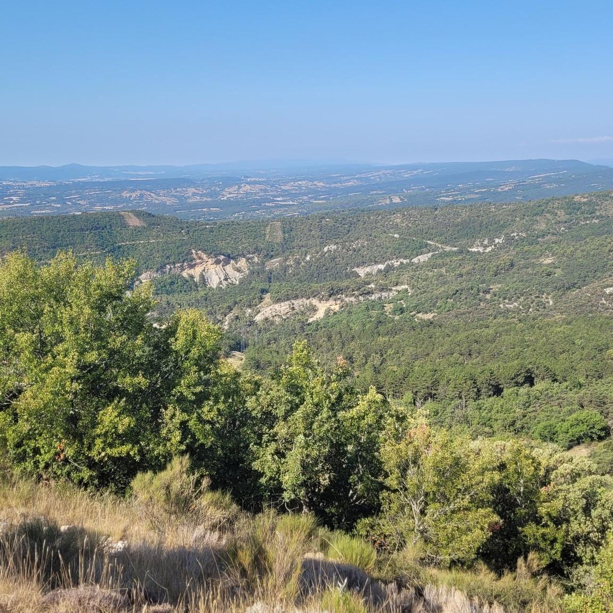
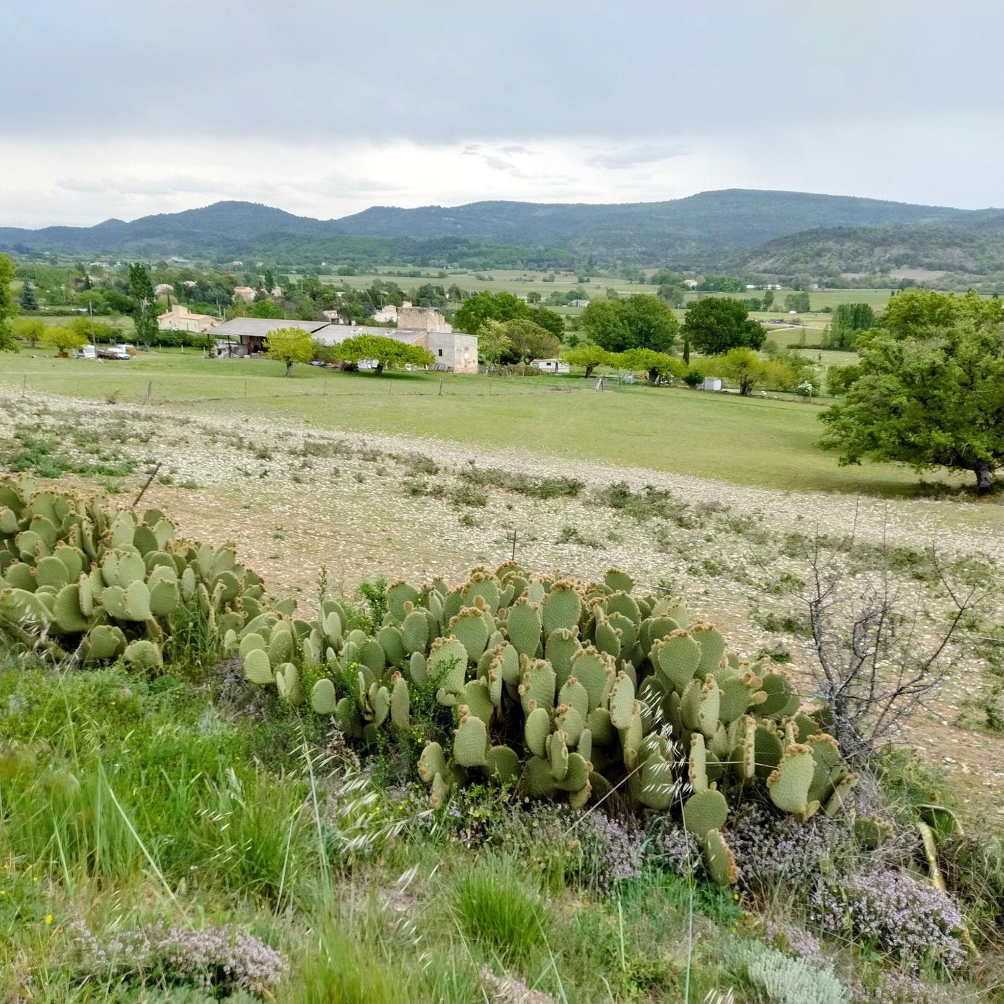
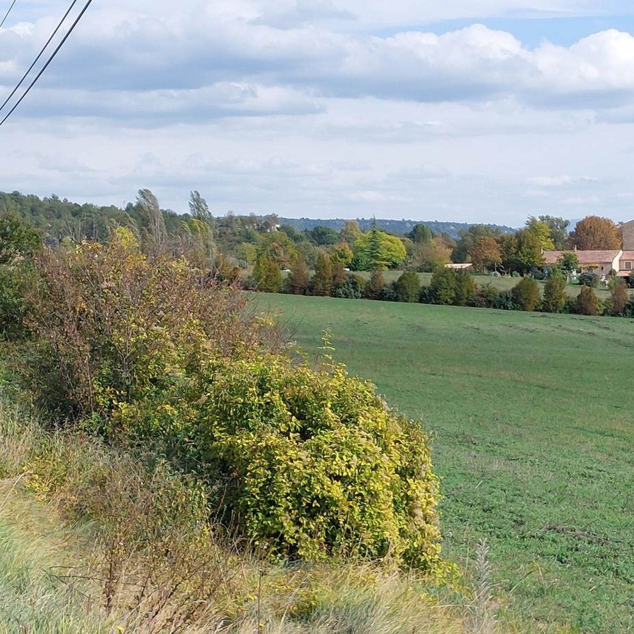
Jogging around Montlaux offers a diverse landscape for runners, characterized by rolling hills and valleys typical of the Alpes-de-Haute-Provence region. The terrain often includes a mix of open areas and forested sections, providing varied running surfaces. Elevation changes are common, ranging from gentle slopes to more challenging ascents, particularly on longer routes. This region provides a natural setting for different levels of running experience.
Best jogging routes around Montlaux
- The most popular jogging route is Saint-Étienne-les-Orgues – Signal de Lure…
Last updated: July 8, 2026
75
runners
31.7km
04:31
1,350m
1,350m
Hard run. Very good fitness required. Mostly paved surfaces. Suitable for all skill levels.
62
runners
36.4km
05:10
1,540m
1,540m
Hard run. Very good fitness required. Mostly paved surfaces. Suitable for all skill levels.

Sign up for free
110
runners
44.2km
05:27
1,240m
1,240m
Hard run. Very good fitness required. Mostly paved surfaces. Suitable for all skill levels.
5
runners
12.1km
01:25
230m
240m
Moderate run. Good fitness required. Mostly paved surfaces. Suitable for all skill levels.
5
runners
9.09km
00:59
150m
150m
Moderate run. Good fitness required. Mostly paved surfaces. Suitable for all skill levels.
Get access to more routes and recommendations from other explorers.
Sign up for free
Already have an account?
Our route recommendations are based on thousands of hikes, rides, and runs completed by other people on komoot.
Start today with a free account
Your next adventure awaits.
Login or Signup

Tips from the Community

best panoramic view, absolutely recommended!
0
0


Indescribable view of the Alps
1
0

The Graille pass is probably the most famous pass in the Alps without even knowing it. So that? Because it is the obligatory step to reach the mountain of Lure. It is one of the first steps of the southern Alps. It is often compared to Mount Ventoux for its easily climbed, bald summit. Also well known to shepherds, the Pas de la Graille has been a path of transhumance since prehistoric times. The D53 connects Saint-Etienne-les-Orgues with Valbelle.
0
0

Stage at 1597 m before the signal from the mountain of Lure. You have a wonderful view of the surrounding landscape.
1
1
Frequently Asked Questions
How many running routes are available around Montlaux?
Montlaux offers a wide selection of running routes, with nearly 100 different trails to explore. These range from easy paths to more challenging, longer runs, catering to various fitness levels.
Are there any easy or beginner-friendly jogging routes in Montlaux?
Yes, Montlaux has several routes suitable for beginners or those looking for an easier run. There are 3 routes specifically rated as easy. While specific names aren't listed here, you can find these shorter, less strenuous options on komoot.
What kind of terrain can I expect on jogging trails in Montlaux?
The terrain around Montlaux is characterized by rolling hills and valleys, typical of the Alpes-de-Haute-Provence region. You'll encounter a mix of open areas and forested sections, with elevation changes ranging from gentle slopes to more challenging ascents, especially on longer routes.
Are there any circular running routes in Montlaux?
Many of the running routes in Montlaux are designed as loops, offering convenient circular paths. For example, the Running loop from Saint-Étienne-les-Orgues and the Running loop from Cruis are popular moderate-difficulty circular options.
What are some notable natural attractions or viewpoints along the jogging routes?
While jogging, you can discover several natural attractions and viewpoints. Highlights include the unique rock formations like The Penitents of Les Mées and The Mourres Rocks. For panoramic views, consider routes that pass by View from the Pas de la Graille.
What do other runners say about the trails in Montlaux?
The running routes in Montlaux are highly regarded by the komoot community, holding an average rating of 4.6 stars from over 30 reviews. Runners often praise the varied terrain, the natural setting, and the options available for different ability levels.
Are there any longer, more challenging running routes for experienced runners?
Absolutely. For experienced runners seeking a challenge, Montlaux offers several difficult routes with significant elevation gain. A prime example is the Saint-Étienne-les-Orgues – Signal de Lure summit loop from Saint-Étienne-les-Orgues, a demanding 19.6-mile trail that takes around 4 hours 30 minutes to complete.
Can I find routes that are longer than a half-marathon distance?
Yes, for those looking for ultra-distance runs, Montlaux has options that extend well beyond a half-marathon. The Lurs – Forcalquier loop from Revest-Saint-Martin is a challenging 38-mile (61.2 km) route with substantial elevation, ideal for long-distance training.
What is a good moderate-difficulty running route for a steady run?
A popular choice for a steady, moderate run is the Running loop from Saint-Étienne-les-Orgues. This 7.5-mile (12.1 km) path offers varied terrain through the local landscape, making it suitable for a consistent pace.
Are there any routes that offer a good workout with significant climbing?
Many routes in Montlaux feature considerable elevation changes. For a challenging climb, consider the Signal de Lure – Cairn 2000 loop from Saint-Étienne-les-Orgues. This 22.6-mile (36.4 km) route includes over 1500 meters of ascent, providing an excellent workout.
What is the best time of year to go jogging in Montlaux?
Montlaux offers a natural setting for running throughout much of the year. Spring and autumn generally provide pleasant temperatures and vibrant scenery. Summer mornings or evenings can also be ideal to avoid the midday heat, while winter runs are possible, though some higher elevation trails might require checking local conditions.
Most popular attractions around Montlaux

Get inspired with the komoot mobile app


Explore more
Browse the best Running Trails & Routes in other regions.
