The best road cycling routes around Pontaubault
4.3
(101)
2,180
riders
199
rides
Road cycling routes around Pontaubault offer diverse landscapes in the Manche department of Normandy, France. The region features varied coastlines, the Sélune River, and the Couesnon River estuary, contributing to picturesque scenery. Cyclists can explore greenways, polders, and traditional Norman bocage landscapes characterized by hedge-divided fields. The area provides access to views of Mont Saint-Michel Bay and its unique ecosystem.
Best road cycling routes around Pontaubault
- The most popular road cycling route is Sélune Riverbank – View of Mont Saint-Michel…
Last updated: October 8, 2026
4.6
(9)
242
riders
106km
04:36
340m
340m
Moderate road ride. Good fitness required. Some segments of this route may be unpaved and difficult to ride.
3.6
(5)
75
riders
51.6km
02:24
330m
330m
Moderate road ride. Good fitness required. Some segments of this route may be unpaved and difficult to ride.

73
riders
52.9km
02:41
320m
320m
Moderate road ride. Good fitness required. Some segments of this route may be unpaved and difficult to ride.
49
riders
Moderate road ride. Good fitness required. Mostly well-paved surfaces and easy to ride.
17
riders
Moderate road ride. Great for any fitness level. Some segments of this route may be unpaved and difficult to ride.
Get access to more routes and recommendations from other explorers.
Already have an account?
Our route recommendations are based on thousands of hikes, rides, and runs completed by other people on komoot.
Start today with a free account
Your next adventure awaits.


Tips from the Community

Mont-Saint-Michel is a world-famous rocky island and commune on the border between Normandy and Brittany in France. Crowned by a monumental, medieval Benedictine abbey, this architectural marvel has been a UNESCO World Heritage site since 1979. The bay of the mount is also known for Europe's strongest tides, with a tidal range of up to 14 meters.
2
0

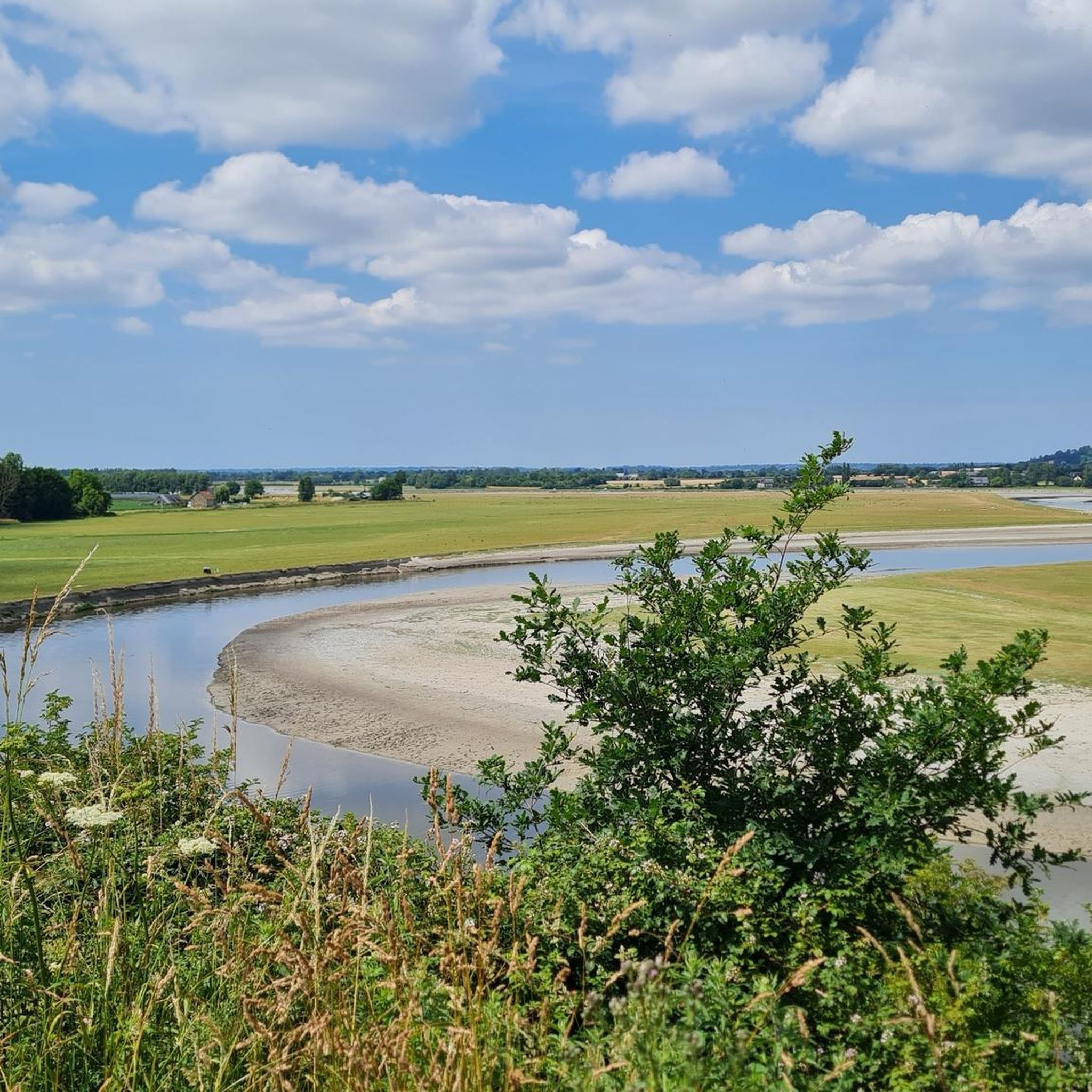
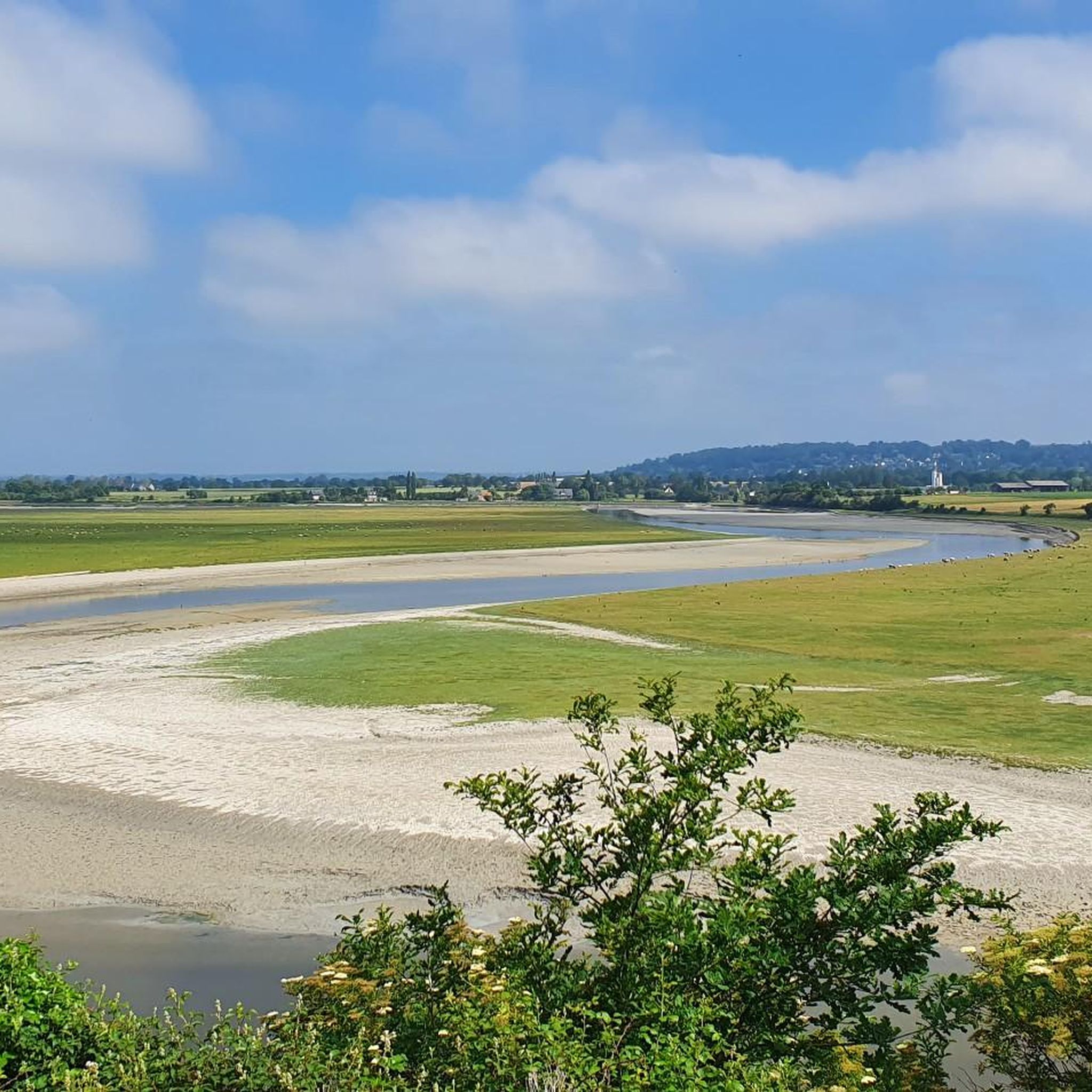
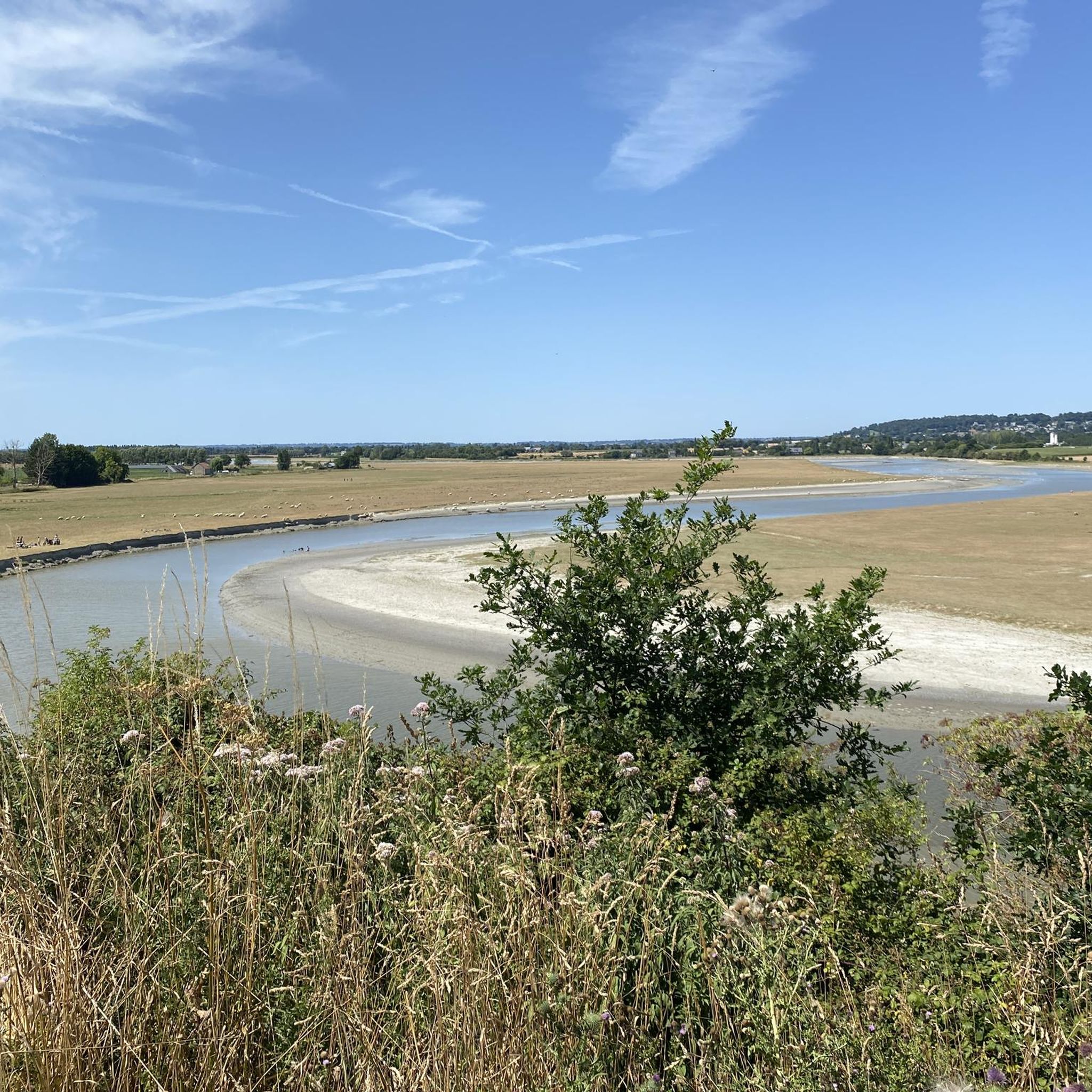
The footpath along the Couesnon to the dam already offers an impressive view of Mont-Saint-Michel. From here, the path with an unobstructed view leads across the salt marshes and the bay, with the landmark of Normandy impressively rising against the wide landscape. Especially in calm weather and with changing light, atmospheric views emerge of Mont-Saint-Michel, the course of the Couesnon river, and the tide-shaped surroundings.
13
0
The Couesnon dam (Barrage du Couesnon) was completed in 2009 and is part of the measures to preserve the bay of Mont-Saint-Michel. The facility regulates the water flow of the Couesnon and supports the natural removal of sediments by the tides. This is intended to counteract the increasing silting up of the bay and preserve the special character of Mont-Saint-Michel as a tidal island. The dam also offers a popular viewpoint with a view of Mont-Saint-Michel and the surrounding salt marshes.
3
0
The city's development was primarily shaped by fishing, seafaring, and oyster farming. As early as the Middle Ages, oysters from Cancale were known beyond the region and later became an important economic sector. The port of La Houle developed into the center of maritime life. Today, Cancale, with its coastal landscape, port facilities, and vibrant oyster tradition, recalls its long history as a fishing and port town.
14
0

From there it looks the strongest !!!
2
0

This is all about oysters. The bay is full of oyster beds, which are immediately consumed at the harbor.
0
0

Lovely route, first along the coast on good cycle paths, then after the large car park via all sorts of narrow roads and villages back to the campsite in Ceaux.
0
0

Parts of the route along the sea do not exist or are forbidden for bicycles
0
0
Frequently Asked Questions
How many road cycling routes are available around Pontaubault?
There are over 200 road cycling routes around Pontaubault, offering a wide variety of options for different skill levels and preferences. The komoot community has explored more than 2000 kilometers of road cycling trails in the area.
What kind of terrain can I expect on road cycling routes near Pontaubault?
Road cycling routes in Pontaubault feature diverse landscapes, including varied coastlines, riverbanks along the Sélune and Couesnon rivers, and traditional Norman bocage with hedge-divided fields. You'll also find dedicated greenways (Voies vertes) and sections along the Couesnon dike, offering views of the Mont Saint-Michel Bay and its polders.
Are there road cycling routes suitable for beginners or families in Pontaubault?
Yes, Pontaubault offers several easy road cycling routes, including greenways that provide accessible rides away from heavy traffic. For example, the Château d'Avranches loop from Le Val-Saint-Père is an easy 26.4 km route with moderate elevation, suitable for those looking for a less strenuous ride.
What scenic viewpoints or landmarks can I see while road cycling around Pontaubault?
Many routes offer breathtaking views of Mont Saint-Michel and its bay. You can also pass by historical sites like the Pontaubault Bridge, or enjoy natural viewpoints such as Grouin du Sud and La Roche Torin. The Banks of the Sélune at Pontaubault and the Sélune Estuary also offer picturesque riverine landscapes.
What is the best time of year for road cycling in Pontaubault?
The region is generally pleasant for cycling from spring through autumn. Summer offers longer daylight hours, but spring and early autumn can provide milder temperatures and fewer crowds. Always check local weather conditions, as coastal areas can be windy.
Are there any long-distance cycling paths that pass through Pontaubault?
Yes, Pontaubault is integrated into major long-distance cycling paths. Segments of the Véloscénie, which connects Paris to Mont-Saint-Michel, and the Vélomaritime® EuroVélo4, a broader route spanning from the English Channel, pass through the area, offering extensive cycling opportunities.
What do other road cyclists enjoy the most about road cycling in Pontaubault?
The area is highly rated by the komoot community, with an average score of 4.5 stars from over 80 reviews. Reviewers often praise the stunning views of Mont Saint-Michel, the varied coastal and inland experiences, and the well-maintained greenways. The mix of riverbanks, polders, and bocage landscapes also receives positive feedback.
Can I find routes that offer views of Mont Saint-Michel?
Absolutely. Many road cycling routes in the Pontaubault area are designed to offer spectacular views of Mont Saint-Michel and its bay. For instance, the Sélune Riverbank – View of Mont Saint-Michel loop from Le Val-Saint-Père is a popular choice specifically for its iconic vistas.
Are there any routes that follow riverbanks or coastal paths?
Yes, the region is characterized by its riverine and coastal landscapes. Routes frequently follow the Sélune Riverbank, such as the Sélune Riverbank – The dam on the Couesnon loop from Pontaubault. You can also find paths that offer coastal views, like the View of the port of Le Hérel – View of Mont-Saint-Michel loop from La Basse Guette.
What are the typical elevation gains on road cycling routes in Pontaubault?
The routes around Pontaubault offer varied elevation gains. While some greenways are relatively flat, many routes feature moderate climbs. For example, the Sélune Riverbank – View of Mont Saint-Michel loop from Le Val-Saint-Père has an elevation gain of over 300 meters, providing a good challenge without being overly strenuous.
Where can I find more information about the Vélomaritime® EuroVélo4 route in this area?
For detailed information on the Vélomaritime® EuroVélo4 section between Mont Saint-Michel and Ducey-les-Chéris, you can visit the official France Vélo Tourisme website: francevelotourisme.com.
Are there any unique natural features to explore near the cycling routes?
Beyond the iconic Mont Saint-Michel Bay, the region boasts a unique ecosystem of mudflats, freshwater and saltwater marshes, and polders. The Couesnon River and its estuary are significant natural features, and you can explore the Château d'Avranches area, which is also a natural monument. Guided nature tours of the bay are also available for an immersive experience.
Most popular routes around Pontaubault
Most popular attractions around Pontaubault

Get inspired with the komoot mobile app


Explore more
Browse the best Road cycling routes in other regions.
