The best walks and hikes around Chantrigné
4.5
(116)
496
hikers
35
hikes
Hiking around Chantrigné offers access to a diverse landscape in the Mayenne department, characterized by undulating terrain and natural features. The region is known for its "chemins creux," unique sunken lanes that provide an immersive experience through the countryside. Nearby forests, such as the Forêt de Fougères, and various ponds and river valleys contribute to the varied hiking environment. The area provides a mix of easy paths and more challenging routes through its natural settings.
Best hiking trails around Chantrigné
…Last updated: July 4, 2026
4.6
(10)
33
hikers
14.9km
03:55
120m
120m
Moderate hike. Good fitness required. Easily-accessible paths. Suitable for all skill levels.
4.8
(9)
52
hikers
9.11km
02:25
90m
90m
Moderate hike. Good fitness required. Easily-accessible paths. Suitable for all skill levels.

Sign up for free
4.4
(11)
34
hikers
7.70km
02:01
60m
60m
Moderate hike. Good fitness required. Easily-accessible paths. Suitable for all skill levels.
4.7
(7)
28
hikers
Easy hike. Great for any fitness level. Easily-accessible paths. Suitable for all skill levels.
4.7
(7)
22
hikers
Easy hike. Great for any fitness level. Easily-accessible paths. Suitable for all skill levels.
Get access to more routes and recommendations from other explorers.
Sign up for free
Already have an account?
Our route recommendations are based on thousands of hikes, rides, and runs completed by other people on komoot.
Start today with a free account
Your next adventure awaits.
Login or Signup


Tips from the Community

Marking of the cycle path 🚴♂️💪🏼🌳
0
0
Beautiful old house, which is privately owned
0
0
Nice swimming pool at the campsite 🏕️
1
0
Great old railway bridge over the river
1
0
small pool by the water but be careful, you have to wear tight pants, baggy pants don't work
1
0
very pleasant old station building
1
0
Frequently Asked Questions
How many hiking trails are available around Chantrigné?
There are over 35 hiking trails around Chantrigné, catering to various preferences. You'll find a good mix, with 18 easy routes perfect for a relaxed stroll and 16 moderate trails for those seeking a bit more challenge. There's also one difficult route for experienced hikers.
What kind of terrain can I expect on hikes near Chantrigné?
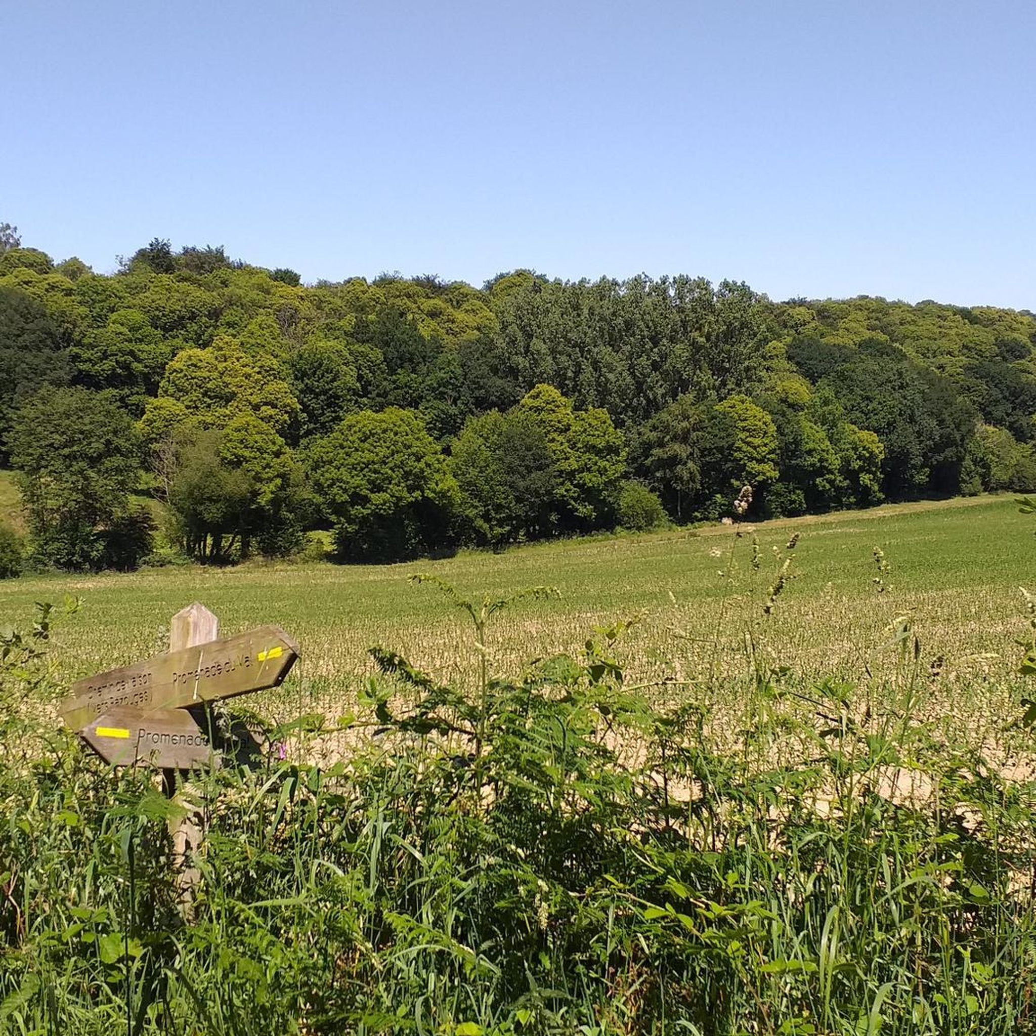
The hiking terrain around Chantrigné is quite diverse, characterized by undulating landscapes, woodlands, and river valleys. A unique feature of the region is its 'chemins creux' or hollow ways, traditional sunken paths bordered by hedgerows, offering a distinctive and immersive experience. You'll also encounter paths along lakes and rivers, and through forests.
Are there any family-friendly hiking options in Chantrigné?
Yes, Chantrigné offers several easy routes suitable for families. Many trails are well-maintained and pass through picturesque countryside, making them enjoyable for all ages. For example, the Viaduc de la Rosserie – View of the River Mayenne loop from Ambrières-les-Vallées is an easy 5.8 km trail that offers pleasant river views.
Can I bring my dog on the hiking trails around Chantrigné?
Generally, dogs are welcome on many hiking trails in the Chantrigné area, especially on rural paths and through woodlands. However, it's always advisable to keep them on a leash, particularly when passing through agricultural land, near livestock, or in protected natural areas. Please ensure you clean up after your pet to maintain the natural beauty of the trails.
What historical landmarks or points of interest can I see while hiking?
The region around Chantrigné is rich in history. Many trails lead to or pass by significant historical sites. For instance, the Lancelot du Lac Trail – Lassey Castle loop from Niort-la-Fontaine includes landmarks like Lassey Castle. You might also encounter other châteaux, such as Bois Thibault Castle, and various viaducts like the Viaduc de la Rosserie, which are often integrated into the hiking routes.
Are there any circular hiking routes available?
Yes, many of the trails around Chantrigné are designed as circular routes, allowing you to start and end at the same point. This is convenient for those traveling by car. Examples include the Au Long du Lac Trail, which offers a loop around a lake, and the Greenway – Viaduct over the Mayenne loop from Saint-Loup-du-Gast.
What natural features can I expect to see on the trails?
Hikers in Chantrigné can enjoy a variety of natural features. The region is known for its lakes, such as the Lac de Haute-Mayenne, and rivers like the Mayenne. You'll find peaceful woodlands, serene valleys, and the distinctive 'chemins creux'. These diverse environments provide opportunities to observe local flora and fauna.
Is there parking available at the trailheads?
While specific parking information for every trailhead isn't always detailed, many routes in rural areas like Chantrigné typically have designated parking spots or roadside parking available near their starting points, especially in villages or near popular attractions. It's always a good idea to check local signage upon arrival.
What do other hikers enjoy most about hiking in Chantrigné?
The hiking routes in Chantrigné are highly rated by the komoot community, with an average score of 4.5 stars from over 100 reviews. Reviewers often praise the varied scenery, the unique experience of the 'chemins creux', and the combination of natural beauty with historical landmarks like castles and viaducts. The well-maintained paths and diverse options for different skill levels are also frequently highlighted.
Are there any trails that follow greenways or old railway lines?
Yes, the area around Chantrigné features trails that utilize greenways, which are often converted railway lines or towpaths, providing flat and accessible routes. The Greenway – Viaduct over the Mayenne loop from Saint-Loup-du-Gast is a great example, leading you along a greenway and past the impressive Viaduct over the Mayenne. Another option is the Viaduct over the Mayenne – Greenway loop from Ambrières-les-Vallées.
What is the best time of year to go hiking in Chantrigné?
Chantrigné offers pleasant hiking experiences throughout much of the year. Spring brings blooming wildflowers and mild temperatures, while autumn showcases beautiful fall foliage. Summer is also popular, though some paths may be more exposed to the sun. Winter hiking is possible, but trails might be muddy, and daylight hours are shorter. Always check local weather conditions before heading out.
Most popular routes around Chantrigné
Most popular attractions around Chantrigné

Get inspired with the komoot mobile app


Explore more
Browse the best Hikes in other regions.
