The best running trails around Villar-D'Arêne
4.8
(10)
843
runners
18
runs
Jogging around Villar-D'Arêne offers access to high mountain environments within the Hautes-Alpes department of southeastern France. The region is characterized by majestic reliefs, razor-sharp peaks, and deep valleys, situated at an altitude of approximately 1,620 meters. It serves as a gateway to the Écrins National Park, featuring a network of trails that traverse alpine lakes and the Romanche valley. This area provides varied terrain for running, from valley paths to higher-altitude routes.
Best jogging routes around Villar-d'Arêne
- The most popular…
Last updated: October 4, 2026
15
runners
Moderate run. Good fitness required. Mostly accessible paths. Some sure footedness required.
28
runners
6.55km
00:49
100m
100m
Hard run. Good fitness required. Sure-footedness, sturdy shoes and alpine experience required.

25
runners
Hard run. Very good fitness required. Sure-footedness, sturdy shoes and alpine experience required.
30
runners
9.40km
01:03
130m
130m
Moderate run. Good fitness required. Mostly paved surfaces. Suitable for all skill levels.
21
runners
15.5km
01:53
580m
580m
Hard run. Very good fitness required. Mostly paved surfaces. Suitable for all skill levels.
Get access to more routes and recommendations from other explorers.
Already have an account?
Our route recommendations are based on thousands of hikes, rides, and runs completed by other people on komoot.
Start today with a free account
Your next adventure awaits.
Popular around Villar-D'Arêne

8 hikes in the Hautes-Alpes — mountain passes and high-altitude lakes
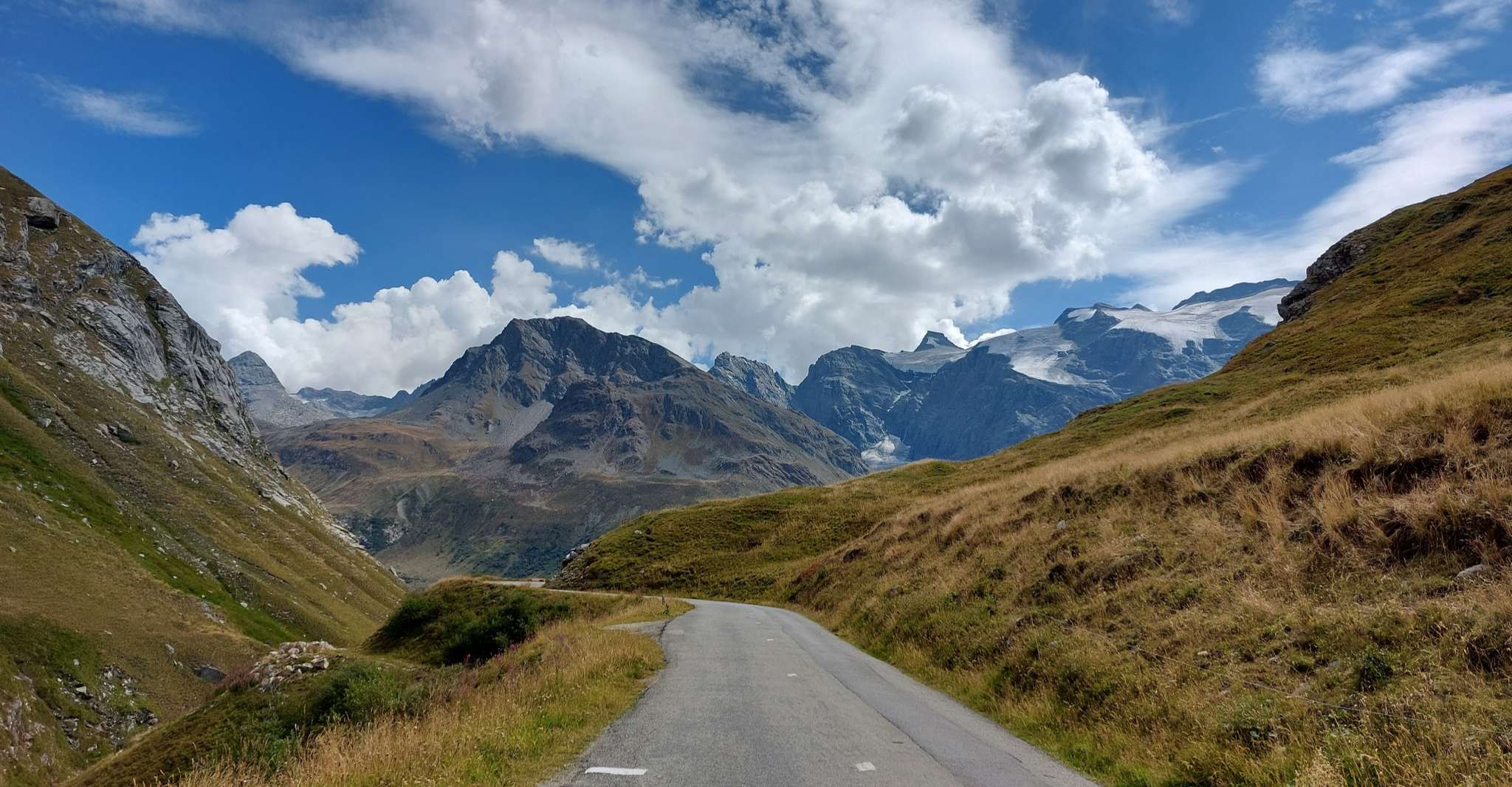
Briançon to Aosta – travelling across the Alps (part 2)
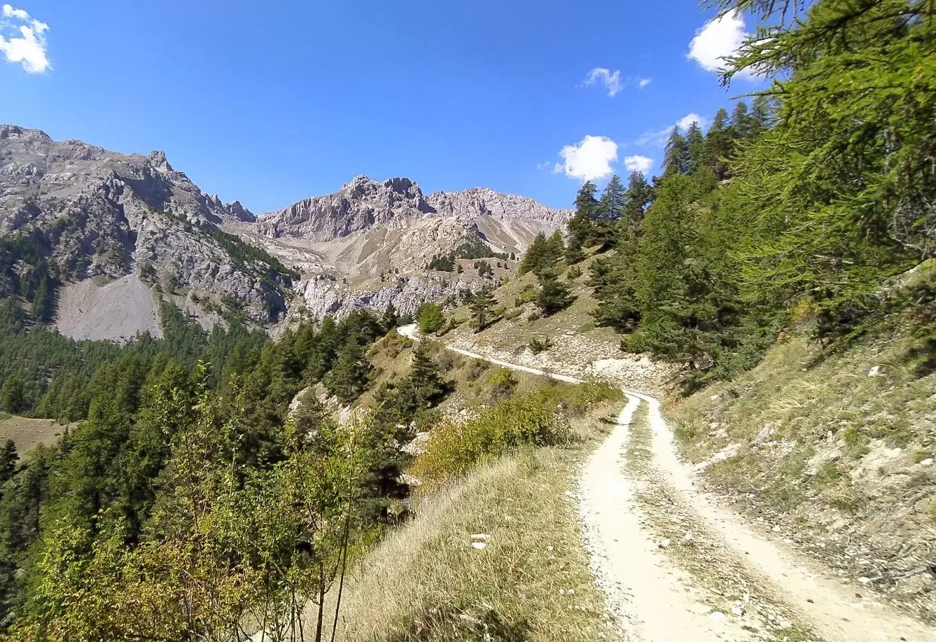
High in the Western Alps – Grand Tour des Écrins by MTB

Écrins, Belledonne and Vercors – HexaTrek, Hautes-Alpes

The most beautiful MTB and hiking tours in the French Maritime Alps
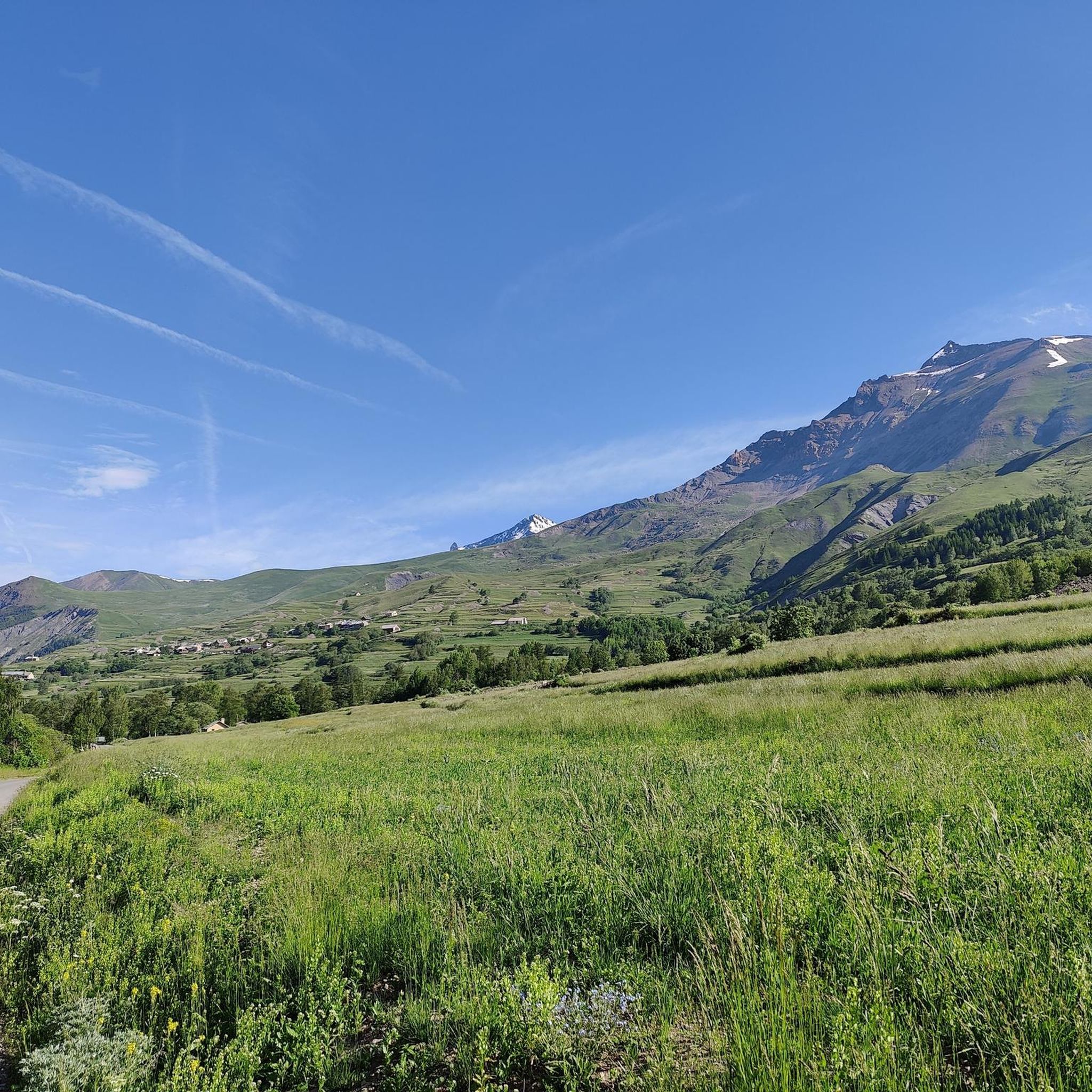
Hiking around Villar-D'Arêne
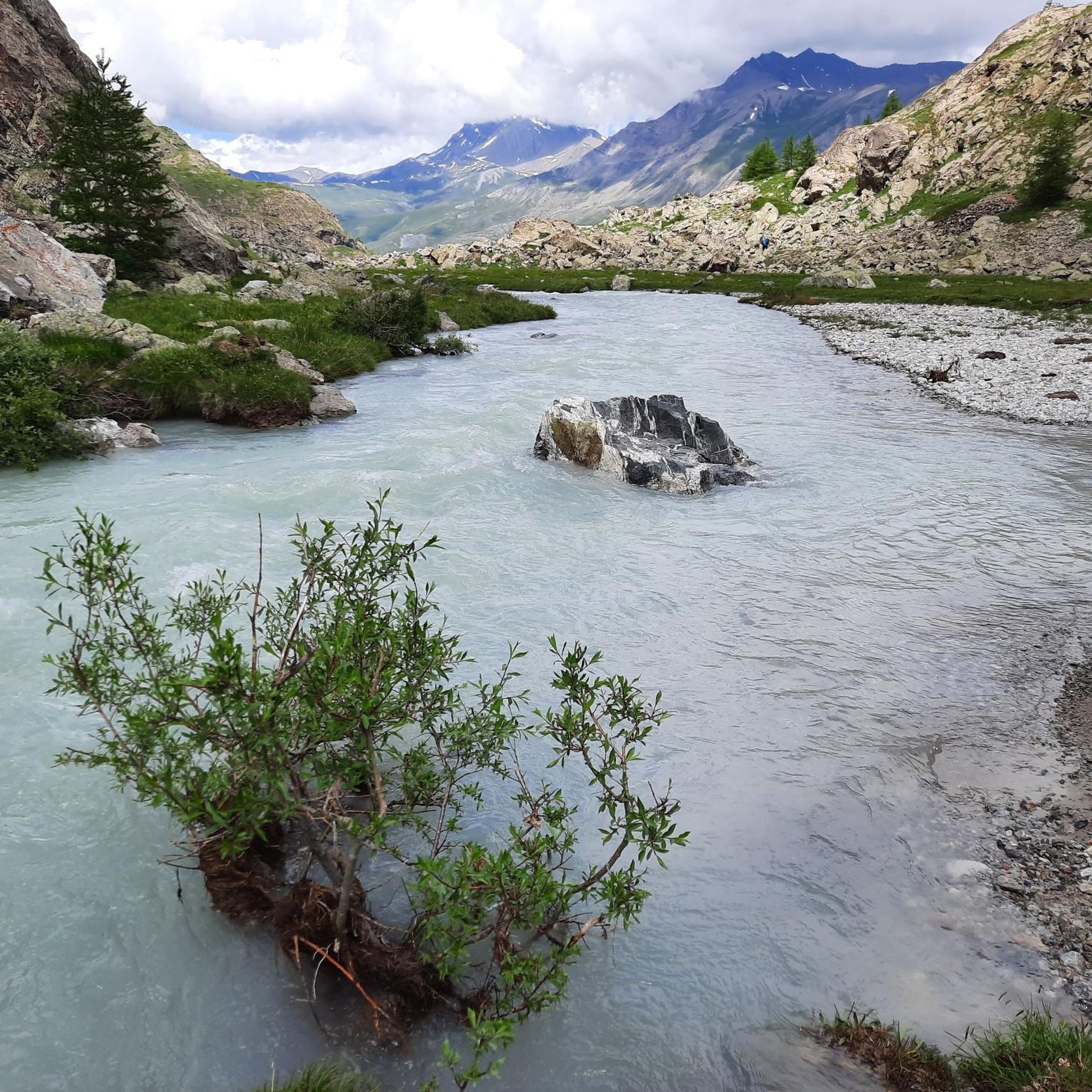
Road Cycling Routes around Villar-D'Arêne
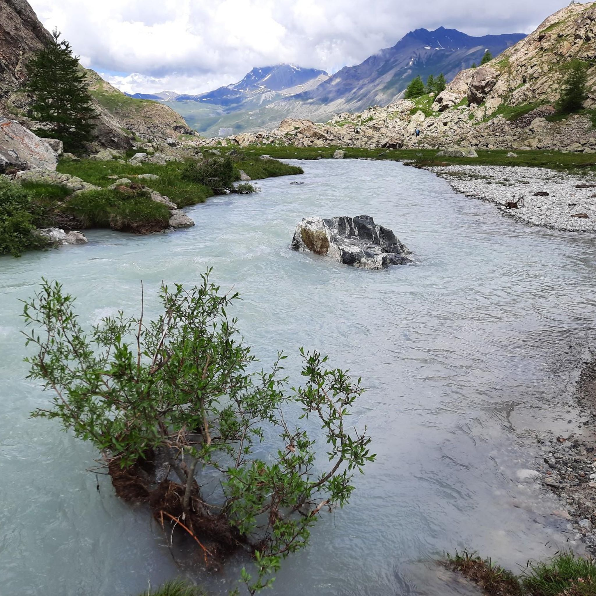
MTB Trails around Villar-D'Arêne
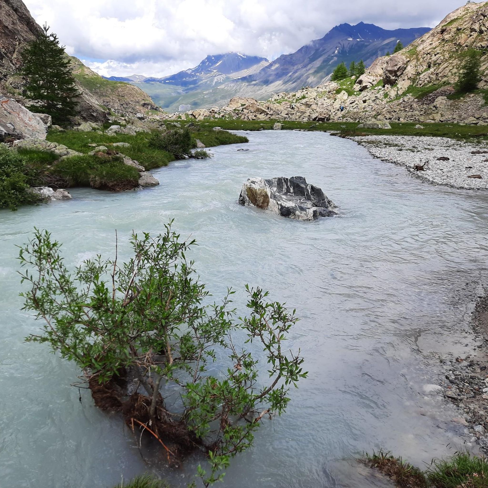
Cycling around Villar-D'Arêne

Mountain Hikes around Villar-D'Arêne
Other adventures around Villar-D'Arêne


Tips from the Community

The Galibier offers breathtaking views.
14
1
A fantastic mountain, making this climb was very challenging, the asphalt is in excellent condition and the gradients are regular.
14
0

Beautiful valley with a view of the glacier. And lots of marmots.
1
0
A majestic mountain that must be approached with respect.
12
0

unfortunately the glaciers are retreating
1
0
The Col du Galibier from Briançon is a climb located in the Grand Briançonnais region. This climb is 34.8 kilometers long, with a positive elevation gain of 1,398 meters. The Col du Galibier from Briançon has an average gradient of 4%.
31
1
The Col du Lautaret from Briançon is a climb located in the Grand Briançonnais region. This climb is 26.3 kilometers long, with an elevation gain of 801 meters. The Col du Lautaret from Briançon has an average gradient of 3%.
23
0

A clear mountain lake where swimming is permitted at your own risk. It's a lovely walk around the lake. In summer, there's a food truck with benches.
0
0
Frequently Asked Questions
How many running routes are available around Villar-d'Arêne?
There are over 15 dedicated running routes around Villar-d'Arêne, offering a wide range of experiences from moderate loops to challenging high-altitude trails. The area is highly rated by the komoot community, with an average score of 4.5 stars from 5 reviews.
What kind of terrain can I expect on the jogging trails in Villar-d'Arêne?
The terrain around Villar-d'Arêne is characterized by high mountain environments, featuring majestic reliefs, razor-sharp peaks, and deep valleys. You'll find a mix of valley paths, trails traversing alpine lakes, and higher-altitude routes within and around the Massif des Écrins and Écrins National Park.
Are there any easy or moderate running routes suitable for beginners or a more relaxed pace?
Yes, while many routes are challenging, there are moderate options available. For example, the L'Aiguillon et le Lac du Pontet - loop trail in the heart of the Écrins National Park is a moderate 3.2-mile (5.1 km) route that takes about 43 minutes to complete and leads to a scenic alpine lake.
What are some challenging running routes for experienced trail runners?
For experienced trail runners seeking a challenge, routes like the Panorama / Galibier – Col du Galibier loop from Col du Lautaret offer significant elevation gains over 9.6 miles (15.4 km). Another difficult option is the Bench at the L'Aiguillon viewpoint – Pontet Lake loop from Villar-d'Arêne, which covers 5.5 miles (8.8 km) with substantial climbing.
Are there any running routes that offer great viewpoints or natural features?
Absolutely! Many routes provide breathtaking views. The View of the Meije glacier loop from Groupe Scolaire La Meije is a 6.5-mile (10.5 km) trail leading through high mountain terrain with stunning vistas of the iconic La Meije massif. You can also find routes that pass by alpine lakes like Lac du Pontet.
What kind of natural landmarks or attractions can I see near the running trails?
While running, you can encounter various natural landmarks. The region is home to several alpine lakes such as Lac du glacier d'Arsine, Lac du Pontet, Lac Lérié, and Lac Noir. You might also spot impressive mountain peaks like Grand Galibier Summit or enjoy a dreamlike view of the Meije massif.
Is Villar-d'Arêne a good destination for family-friendly running or walking?
Villar-d'Arêne offers a mix of trails. While many are challenging, some shorter, less strenuous paths, particularly those in the Romanche valley or around Lac du Pontet, could be suitable for families looking for a pleasant walk or a gentle jog. Always check the route's difficulty and elevation profile to ensure it matches your family's capabilities.
What is the best time of year for running in Villar-d'Arêne?
The summer months (June to September) are generally the best time for running in Villar-d'Arêne, as the high mountain trails are clear of snow and the weather is more stable. Spring and autumn can also be beautiful, but some higher-altitude routes might still have snow or experience colder conditions. In winter, the area transforms into a paradise for snow sports, with many trails becoming suitable for cross-country skiing or snowshoeing instead of running.
Are there any circular running routes around Villar-d'Arêne?
Yes, many of the routes around Villar-d'Arêne are designed as loops, allowing you to start and finish in the same location. For instance, the Villar-d’Arêne loop from Villar-d'Arêne is a difficult 5.6-mile (9.1 km) path that explores the local area in a circular fashion.
What amenities are available in Villar-d'Arêne for runners?
Villar-d'Arêne, as a picturesque village, offers basic amenities. You can find traditional houses, fountains, and a bread oven, providing a charming atmosphere. For specific needs like cafes, pubs, or restaurants, it's advisable to check local listings, especially during off-peak seasons. The village serves as a good base for exploring the surrounding trails.
Are dogs allowed on the running trails in Écrins National Park near Villar-d'Arêne?
Écrins National Park has specific regulations regarding dogs. Generally, dogs are not allowed in the core zone of the National Park, even on a leash, to protect wildlife. However, they may be permitted in the peripheral zone on a leash. It's crucial to check the specific rules for each trail or area you plan to visit within the park to ensure compliance.
Are there any huts or refuges along the running routes for breaks or overnight stays?
Yes, the region around Villar-d'Arêne features several huts and refuges that can serve as excellent spots for a break or even an overnight stay on longer runs. Notable options include the Alpe refuge at Villar-d'Arêne, Pic du Mas de la Grave Refuge, and Glacier Blanc Hut. Always check opening times and availability in advance.
Most popular routes around Villar-D'Arêne
Most popular attractions around Villar-D'Arêne

Get inspired with the komoot mobile app


Explore more
Browse the best Running Trails & Routes in other regions.
