The best running trails around Molines-En-Queyras
4.4
(6)
797
runners
42
runs
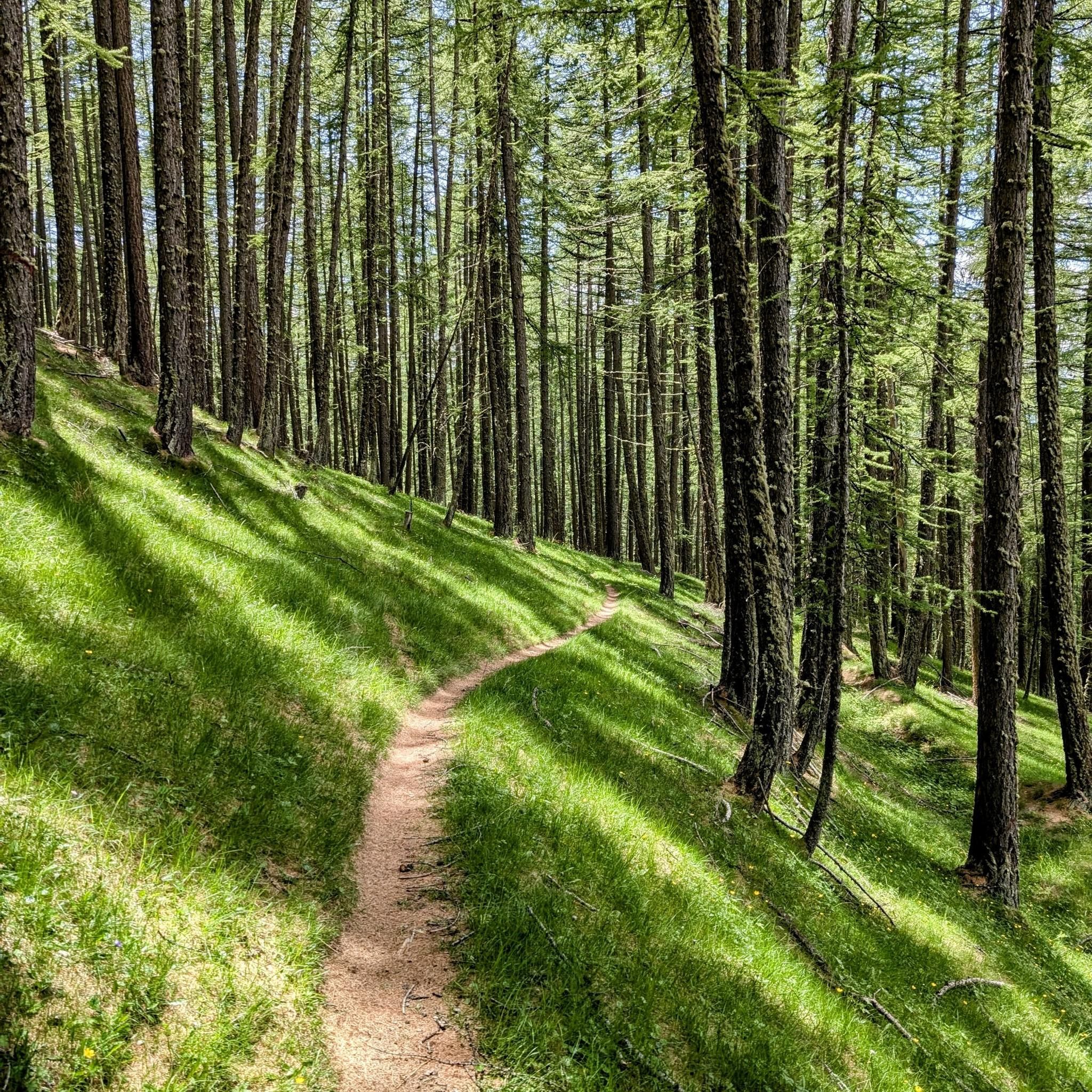
Jogging around Molines-En-Queyras offers diverse landscapes within the Queyras Regional Natural Park, characterized by an alpine environment. The region features expansive larch forests, alpine meadows, and river valleys irrigated by the Aigue Agnelle river. Runners can encounter various mountain peaks, including the Bucher summit, and explore the dramatic Gorges du Guil. This terrain provides a range of challenging and scenic running experiences.
Best jogging routes around Molines-En-Queyras
- The most popular jogging route is Chapelle de Clausis – Saint-Véran loop from…
Last updated: May 19, 2026
72
runners
29.6km
04:26
1,280m
1,280m
Hard run. Very good fitness required. Sure-footedness, sturdy shoes and alpine experience required.
58
runners
20.8km
02:42
680m
680m
Hard run. Very good fitness required. Sure-footedness, sturdy shoes and alpine experience required.

Sign up for free
33
runners
7.62km
01:43
660m
660m
Hard run. Very good fitness required. Sure-footedness, sturdy shoes and alpine experience required.
32
runners
53.1km
08:35
2,600m
2,610m
Hard run. Very good fitness required. Sure-footedness, sturdy shoes and alpine experience required.
5.0
(2)
34
runners
27.1km
03:20
910m
920m
Hard run. Very good fitness required. Sure-footedness, sturdy shoes and alpine experience required.
Get access to more routes and recommendations from other explorers.
Sign up for free
Already have an account?
Our route recommendations are based on thousands of hikes, rides, and runs completed by other people on komoot.
Start today with a free account
Your next adventure awaits.
Login or Signup
Popular around Molines-En-Queyras
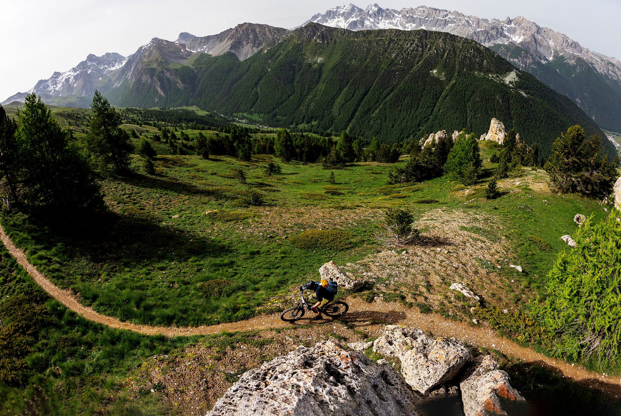
The STONE KING Route – adventure enduro from High Alps to the Med

High mountain escapades — 15 peaks over 3,000m in the Alps
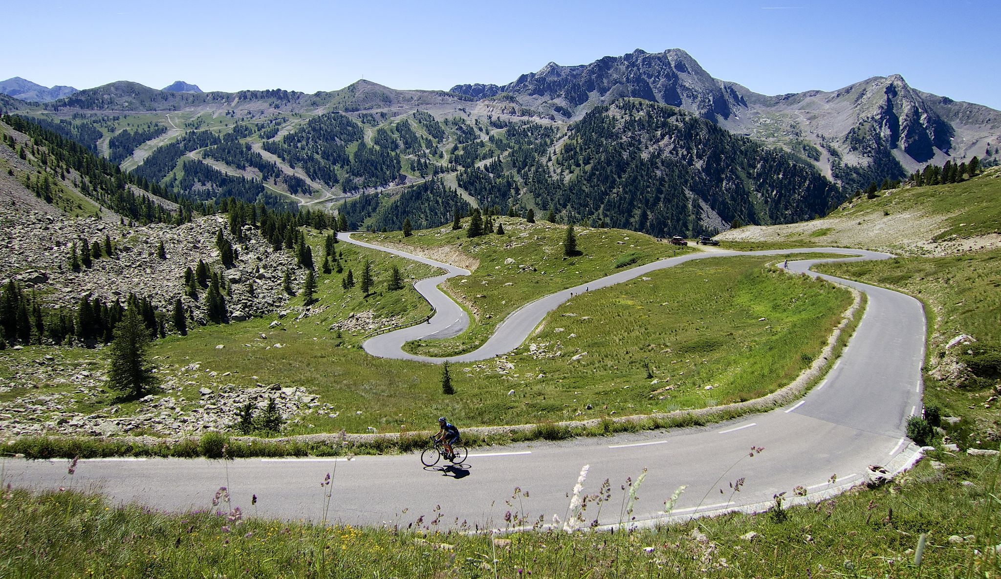
Conquer peaks – 7 Majors challenge between France and Italy

The most beautiful MTB and hiking tours in the French Maritime Alps
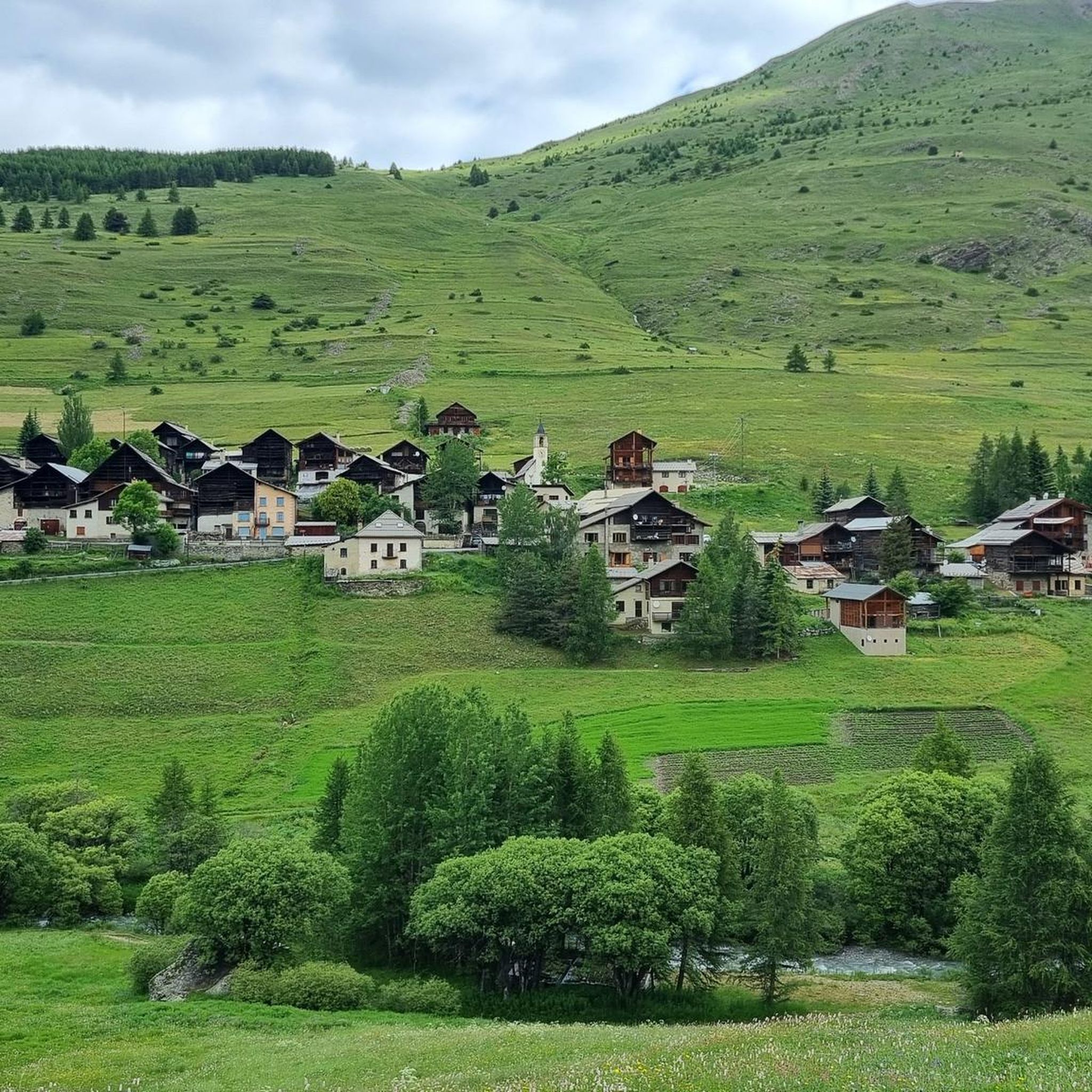
Hiking around Molines-En-Queyras
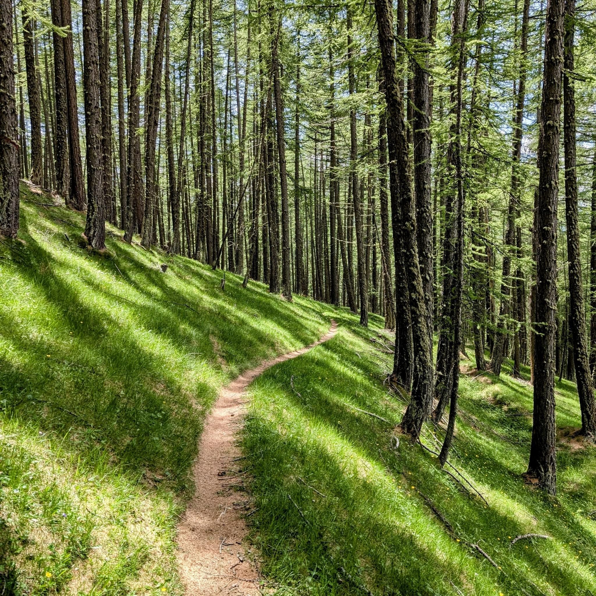
Cycling around Molines-En-Queyras
MTB Trails around Molines-En-Queyras

Road Cycling Routes around Molines-En-Queyras
Gravel biking around Molines-En-Queyras

Mountain Hikes around Molines-En-Queyras
Other adventures around Molines-En-Queyras


Tips from the Community

A beautiful lake that is worth the climb and walk to get there.
1
0

A mountain village with many small shops selling local products and clothes.
11
0

Ideally located refuge, obviously, clean, efficient, good meals and a very good hiker's picnic!
1
0


This Colle dell'Agnello is one of the most classic climbs in the Western Alps, and has often been the scene of stages of the Giro d'Italia. Very challenging both for its length and the difference in altitude, and for its altitude (it starts from 1,800 meters in Chianale and reaches almost 2,750 meters on the hill). The views, however, are stunning and worth the effort. The French side is less steep, so those who tackle it during trips lasting several days can plan the climb from France, which is less challenging, and enjoy the descent and the views.
1
0

Picturesque mountain village on the way to the Col de la Noir
0
0

At the start it is quite challenging (steep and uneven) then as you go down it becomes easier
0
0
Frequently Asked Questions
What kind of terrain can I expect on running routes around Molines-En-Queyras?
The Molines-En-Queyras region, nestled within the Queyras Regional Natural Park, offers a diverse alpine environment. You'll encounter expansive larch forests, open alpine meadows, and picturesque river valleys carved by the Aigue Agnelle river. Routes can range from gentle paths to challenging ascents and descents over mountain passes, providing varied experiences for all running levels.
Are there many running routes available in Molines-En-Queyras?
Yes, there are over 40 running routes around Molines-En-Queyras. These routes offer a wide range of distances and elevations, catering to different preferences and fitness levels, from moderate to difficult.
What are some notable natural features or landmarks I might see while jogging in the area?
Molines-En-Queyras is rich in natural beauty and historical sites. You can explore the dramatic Gorges du Guil, where the river has carved impressive canyons. Other highlights include the Source of the Po River, and serene alpine bodies of water like Lake Fiorenza and Mirror Lake. The region also features charming traditional hamlets and the historic Saint-Véran Village, known as the highest inhabited commune in Europe.
Are there any long-distance running trails in Molines-En-Queyras?
Absolutely. For those seeking a longer challenge, the region offers routes like the Lake Foréant – Lac Egorgéou loop from Queyras Regional Nature Park, which spans 33.0 miles (53.1 km) and takes approximately 8 hours 34 minutes to complete, traversing alpine lakes and high mountain terrain.
What do other runners think about the trails in Molines-En-Queyras?
The running routes in Molines-En-Queyras are highly rated by the komoot community, with an average score of 4.5 stars from several reviews. Over 800 runners have used komoot to explore the varied terrain, often praising the scenic beauty and the diverse challenges offered by the trails.
Are there any circular running routes available?
Yes, many of the running routes in Molines-En-Queyras are circular, allowing you to start and finish at the same point. An example is the Chapelle de Clausis – Saint-Véran loop from Queyras Regional Nature Park, a 12.9-mile (20.8 km) route that explores the heart of the Queyras Regional Natural Park and passes through traditional hamlets.
Can I find challenging running routes with significant elevation gain?
Molines-En-Queyras is known for its alpine environment, offering numerous challenging routes. For instance, the Col Longet descent – Col de Longet loop from Chez Mem's is a difficult 4.7-mile (7.6 km) path featuring significant ascents and descents with rewarding mountain views.
What is the best time of year for jogging in Molines-En-Queyras?
The summer months are ideal for jogging in Molines-En-Queyras, as the trails are open and accessible. The region's larch forests are particularly stunning in autumn when their needles turn a striking russet, offering a beautiful backdrop for your runs before winter snows arrive.
Are there any running routes that pass through traditional villages or hamlets?
Yes, the region is dotted with charming traditional mountain hamlets. The Saint-Véran Village – Saint-Véran loop from Molines-en-Queyras is a great option, taking you through the renowned Saint-Véran village, known for its preserved traditional architecture.
Are there routes that offer views of high mountain passes?
Many routes in Molines-En-Queyras provide stunning views of high mountain passes. The Refuge Agnel – Col Agnel / Colle dell'Agnello loop from Queyras Regional Nature Park is a difficult 25.9 km (16.1 miles) route that takes you near the mythical Col Agnel, a pass that also marks the border with Italy, offering expansive mountain vistas.
Is it possible to find running routes that are less strenuous for beginners or a more relaxed pace?
While many routes are classified as moderate to difficult due to the alpine terrain, there are options for varying ability levels. The region's diverse landscape includes river valleys and alpine meadows that can offer less strenuous paths, though specific 'easy' routes are fewer. It's best to check the elevation profiles on komoot to find routes that match your desired intensity.
Are there any specific trails that follow historical features, like old canals?
Yes, the region features unique historical trails. The old irrigation canals, such as the Canal de Rouchas Frach, provide distinctive paths for exploration. These historical waterways offer a different perspective on the landscape and are suitable for running.
Most popular routes around Molines-En-Queyras
Most popular attractions around Molines-En-Queyras

Get inspired with the komoot mobile app


Explore more
Browse the best Running Trails & Routes in other regions.
