The best walks and hikes around Val-Des-Prés
4.5
(348)
3,166
hikers
43
hikes
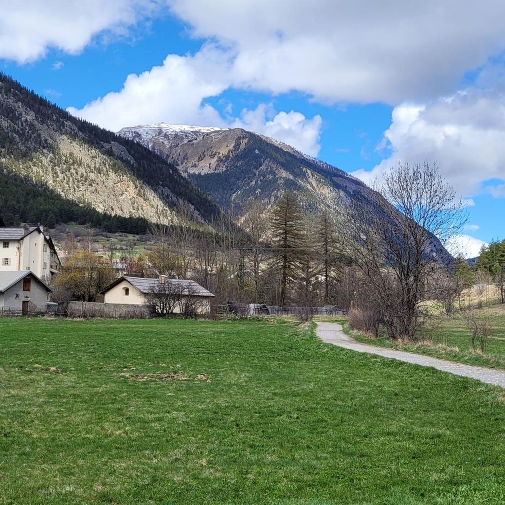
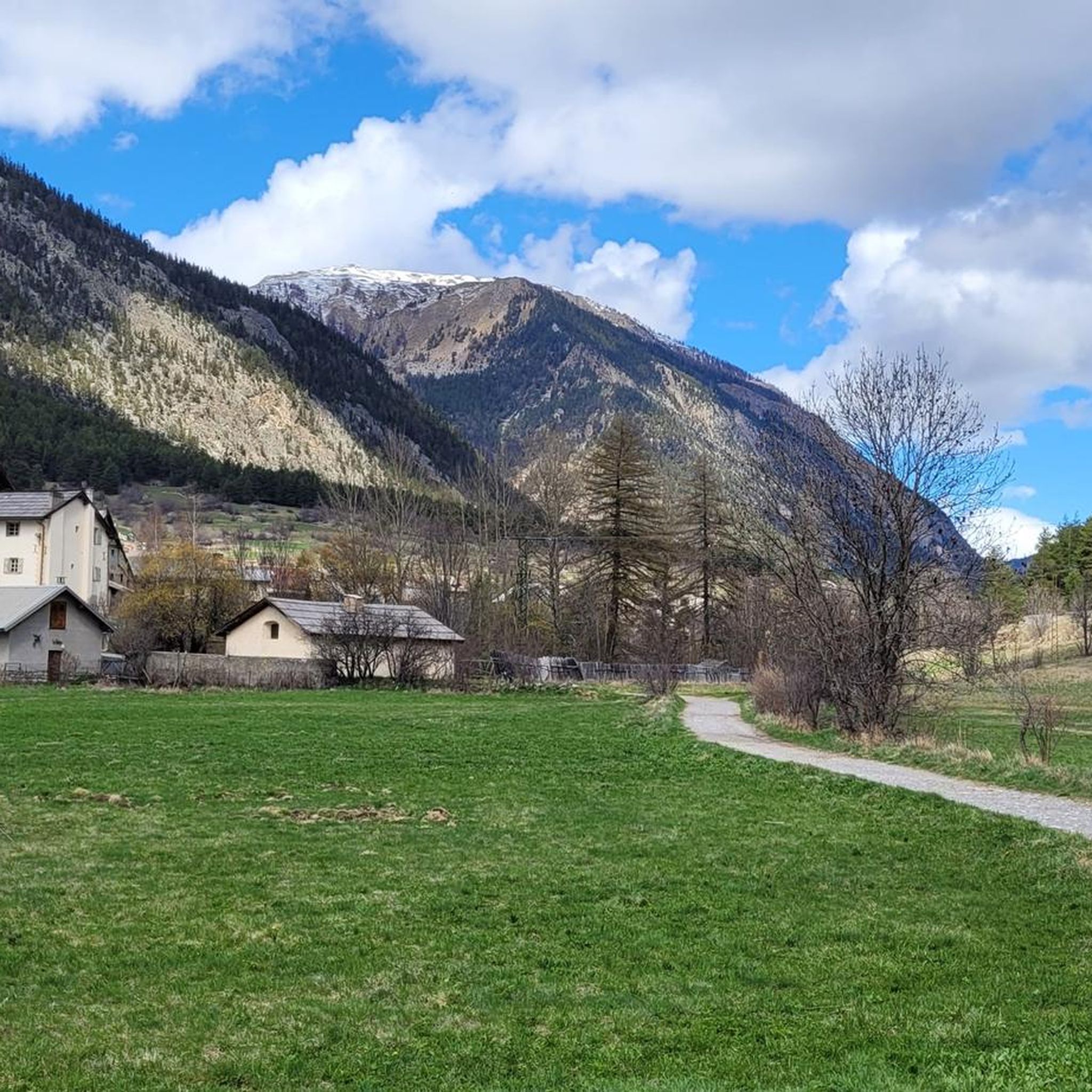
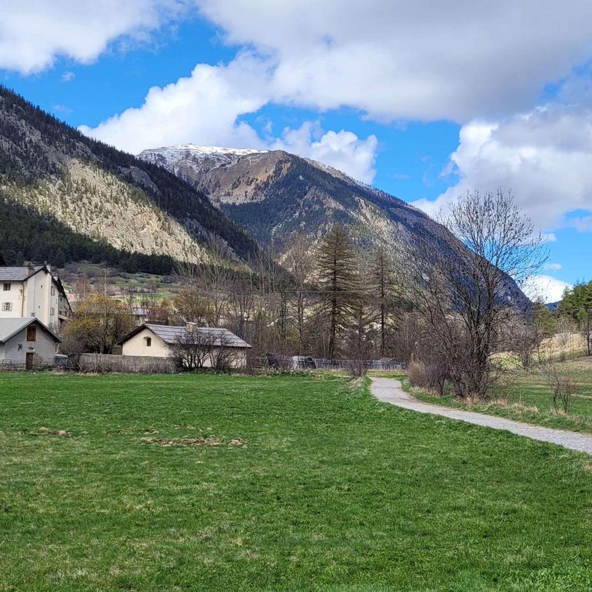
Hiking around Val-Des-Prés offers access to the diverse landscapes of the Southern French Alps, situated within the preserved Clarée Valley. The region features a mix of majestic mountains, serene mountain lakes, and lush forests. Trails traverse varied terrain, from gentle valley paths to challenging alpine ascents. The Clarée River flows through the valley, providing trails along its banks and through extensive larch forests.
Best hiking trails in Val-Des-Prés
- The most popular hiking route is Lake Cristol – Grand Lac de…
Last updated: May 12, 2026
4.6
(27)
212
hikers
13.6km
04:54
550m
550m
Moderate hike. Good fitness required. Mostly accessible paths. Sure-footedness required.
4.9
(10)
212
hikers
10.1km
03:56
390m
390m
Hard hike. Good fitness required. Sure-footedness, sturdy shoes and alpine experience required.

Sign up for free
4.6
(5)
114
hikers
5.94km
02:00
210m
210m
Moderate hike. Good fitness required. Mostly accessible paths. Sure-footedness required.
4.6
(7)
41
hikers
16.5km
04:26
160m
160m
Moderate hike. Good fitness required. Mostly accessible paths. Sure-footedness required.
5.0
(1)
42
hikers
Easy hike. Great for any fitness level. Easily-accessible paths. Suitable for all skill levels.
Get access to more routes and recommendations from other explorers.
Sign up for free
Already have an account?
Our route recommendations are based on thousands of hikes, rides, and runs completed by other people on komoot.
Start today with a free account
Your next adventure awaits.
Login or Signup

Tips from the Community

Getting to the top is quite a challenge.
20
1
Challenging climb, the gradients are almost always in double figures.
18
1
A tough climb in 11 km, you gain approximately 1100 m of elevation gain.
18
0
Very tough climb with gradients almost always in double figures.
17
0

very beautiful route, a change of scenery, you have to go to the Fruitière de Nevache, it's worth it.
0
0

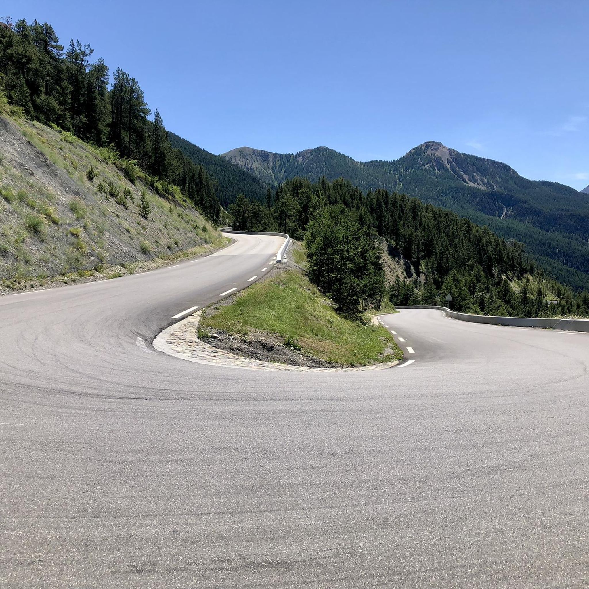
Legendary Tour de France climb, Amazing Road winding up to the top, very little traffic going up and amazing views. One of the most beautiful climbs in the region imho
5
0

Beautiful location location location on the Via Domizia
1
0

Frequently Asked Questions
How many hiking trails are available around Val-des-Prés?
Val-des-Prés offers a wide selection of hiking opportunities, with over 40 distinct routes. These range from easy strolls to more challenging alpine expeditions, catering to various skill levels.
What is the best time of year to go hiking in Val-des-Prés?
The Southern French Alps, where Val-des-Prés is located, are ideal for hiking from late spring through early autumn. During these months, the weather is generally favorable, and the trails are clear of snow, allowing access to high-altitude lakes and passes. Winter transforms the area into a Nordic ski domain, offering different outdoor activities.
Are there hiking options for beginners or families in Val-des-Prés?
Yes, Val-des-Prés provides several easy hiking options, with 10 routes specifically categorized as easy. The Clarée Valley itself is known for its gentle slopes, perfect for family strolls. You can find routes that explore the valley floor or serene lake areas suitable for all ages.
What kind of views can I expect on hikes in Val-des-Prés?
Hikers in Val-des-Prés can expect diverse and striking natural landscapes. Views often include majestic mountain peaks like Mont Chaberton and Mont Thabor, serene mountain lakes such as Lac de l'Oule and Lac Gignoux, and lush snowy larch forests. Many trails also offer panoramic vistas from high passes.
Are there any hikes that feature waterfalls in the Val-des-Prés area?
Yes, the region around Val-des-Prés features picturesque waterfalls. Hikers can discover natural wonders like Cascade de la Pisse, Razis Waterfall, and Réallon Waterfalls, which provide refreshing stops and scenic points along various trails.
Can I find hikes that visit mountain lakes in Val-des-Prés?
Absolutely. Val-des-Prés is dotted with beautiful mountain lakes. A popular route is the Lake Cristol – Grand Lac de l'Oule loop from La Salle-les-Alpes, which explores two notable mountain lakes. Other lakes in the area include the vibrant Lac Gignoux (also known as the "Lake of Seven Colours") and Round Lake.
What notable landmarks or natural features can I explore while hiking?
Beyond the stunning landscapes, you can explore several unique landmarks. These include the historic Mont Chaberton Fort, located at over 3,130 meters, and the intriguing "Coiffed Ladies" or "Fairy Chimneys," which are distinctive mineral sculptures. The Lac Gignoux (Lake of Seven Colours) is another natural highlight.
Are there any challenging mountain passes to hike in Val-des-Prés?
Yes, for those seeking more challenging experiences, Val-des-Prés offers several mountain passes. The Col du Granon (2,413 m) – La Grande Peyrolle (2645 m) loop from La Salle-les-Alpes involves significant elevation gain to reach a panoramic pass and peak. Other notable passes include Oule Pass and the historic Montgenèvre Pass.
Are the hiking trails in Val-des-Prés suitable for dogs?
Many trails in the Val-des-Prés area are suitable for dogs, especially those in the Clarée Valley. However, it's always recommended to check specific trail regulations, especially when hiking near protected areas like the Queyras Regional Natural Park or the Ecrins National Park, where restrictions may apply to protect wildlife.
Are there circular hiking routes available in Val-des-Prés?
Yes, Val-des-Prés offers several circular hiking routes. For example, the Col du Granon (2,413 m) – Round Lake loop from La Salle-les-Alpes is a popular circular trail that takes you through mountain passes and past a serene lake. Many other loops are available around the region's lakes and passes.
What do other hikers say about the trails in Val-des-Prés?
The hiking routes in Val-des-Prés are highly regarded by the komoot community, with an average score of 4.5 stars from over 300 reviews. Hikers often praise the diverse terrain, the stunning alpine scenery, and the well-maintained paths that lead to serene lakes and majestic mountain views.
Is public transport available to access hiking trailheads in Val-des-Prés?
While specific public transport options to individual trailheads can vary, the Val-des-Prés area is generally accessible. For detailed information on local bus services or shuttle options that might connect to popular hiking starting points, it's best to consult the local tourist offices in Briançon or Serre Chevalier.
Where can I find parking for hiking trails in Val-des-Prés?
Parking is typically available at or near the starting points of many popular hiking trails in Val-des-Prés and the surrounding Clarée Valley. Designated parking areas are often found in villages like La Salle-les-Alpes or near significant trailheads. It's advisable to check specific route details for parking information.
Most popular routes around Val-Des-Prés
Most popular attractions around Val-Des-Prés

Get inspired with the komoot mobile app


Explore more
Browse the best Hikes in other regions.
