The best MTB trails around Châtillon-Sur-Colmont
4.6
(49)
345
riders
31
rides
Mountain bike trails around Châtillon-Sur-Colmont traverse a diverse landscape in the Mayenne department of north-western France. The area features rolling terrain with altitudes ranging from 110 to 231 meters, offering varied challenges for mountain bikers. Riders can explore a mix of forests, prairies, and agricultural lands, with the Colmont river adding to the natural scenery. This region provides a compelling setting for outdoor activities, characterized by its varied topography.
Best mountain bike trails around Châtillon-Sur-Colmont
- The most popular mountain bike…
Last updated: July 2, 2026
5.0
(3)
51
riders
68.0km
04:32
650m
650m
Moderate mountain bike ride. Good fitness required. Suitable for all skill levels.
4.7
(11)
48
riders
Moderate mountain bike ride. Good fitness required. Suitable for all skill levels.

Sign up for free
5.0
(2)
12
riders
35.1km
02:53
460m
450m
Moderate mountain bike ride. Good fitness required. Suitable for all skill levels.
4.7
(3)
22
riders
49.3km
03:27
600m
600m
Moderate mountain bike ride. Good fitness required. Suitable for all skill levels.
5.0
(3)
22
riders
29.7km
01:46
220m
220m
Easy mountain bike ride. Great for any fitness level. Suitable for all skill levels.
Get access to more routes and recommendations from other explorers.
Sign up for free
Already have an account?
Our route recommendations are based on thousands of hikes, rides, and runs completed by other people on komoot.
Start today with a free account
Your next adventure awaits.
Login or Signup
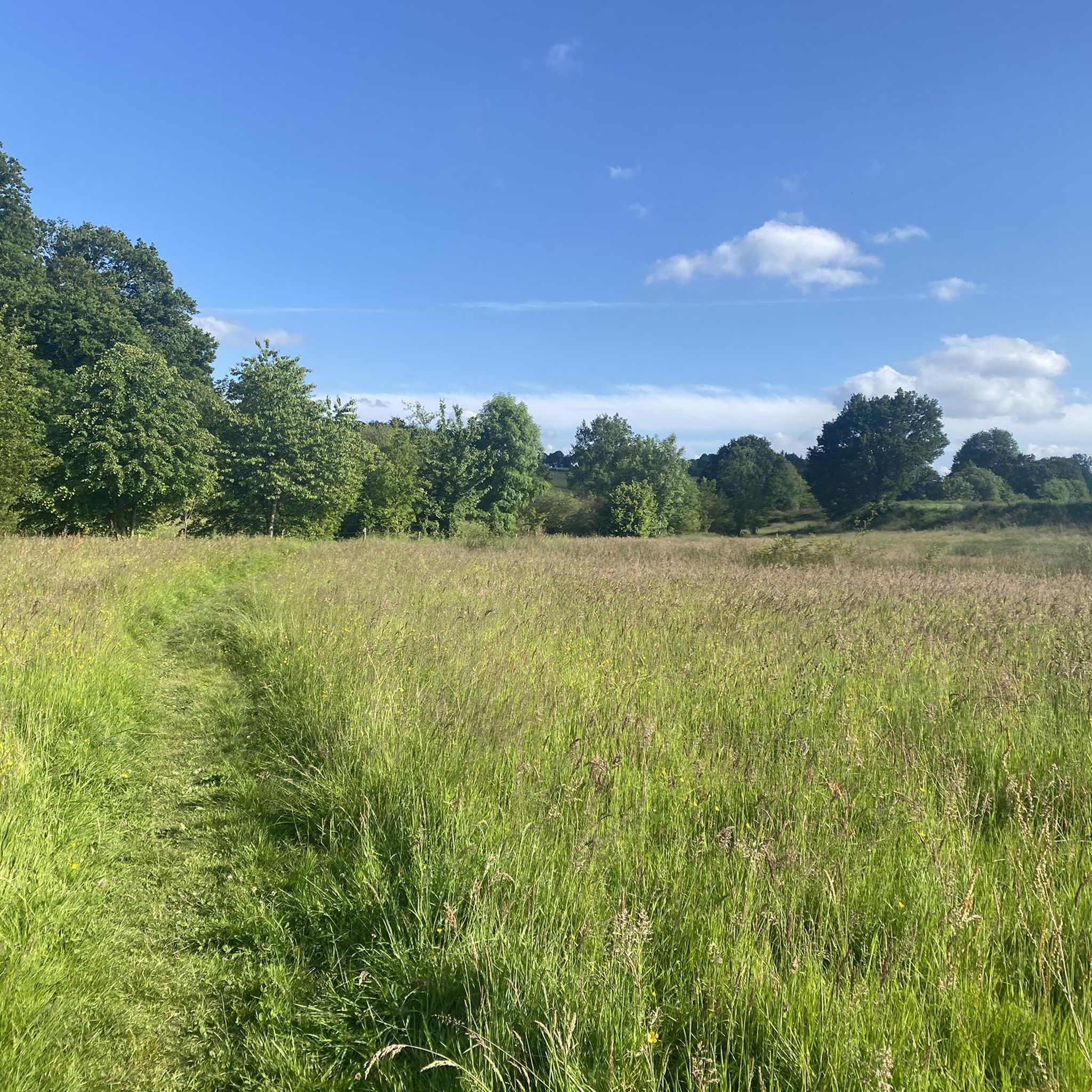

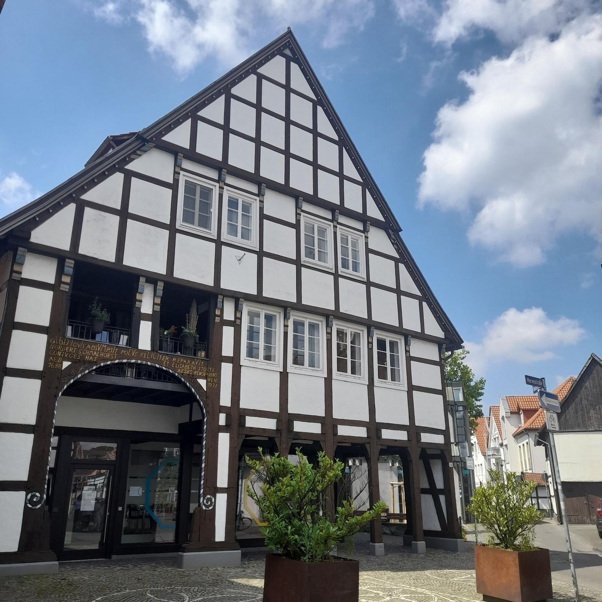

Tips from the Community

Marking of the cycle path 🚴♂️💪🏼🌳
0
0
Beautiful old house, which is privately owned
0
0
Great old railway bridge over the river
1
0
Extremely beautiful cycle path on an old railway line
1
0
information panel on the riverside area
1
0
Great place to relax with benches by the water
1
0
Frequently Asked Questions
What is the overall difficulty of mountain bike trails around Châtillon-Sur-Colmont?
The mountain bike trails around Châtillon-Sur-Colmont offer a range of difficulties. You'll find 9 easy routes, 19 moderate routes, and 4 difficult routes, catering to various skill levels. The terrain is generally rolling, with altitudes from 110 to 231 meters, providing varied challenges.
What kind of terrain can I expect on the mountain bike trails in this region?
You can expect a diverse landscape with rolling hills, dense forests, open prairies, and agricultural lands. The Colmont river also flows through the commune, adding to the natural scenery. Some routes, like Balisage des chemins – Ancienne voie ferrée loop from Parigné-sur-Braye, even follow old railway lines, offering unique riding surfaces.
Are there any circular mountain bike routes available?
Yes, many of the mountain bike routes around Châtillon-Sur-Colmont are circular. For example, the popular Pont – Ancien Viaduc loop from Mayenne is a 41.6-mile (67.0 km) circular trail, and the Balisage des chemins – Viaduc de la Rosserie loop from Ambrières-les-Vallées is a 27.3-mile (43.9 km) loop.
What can I see along the mountain bike trails or nearby?
The region offers picturesque scenery and historical attractions. Along some routes, you might encounter structures like the Viaduc de la Rosserie or the Viaduct over the Mayenne. The Gravel path along the River Mayenne also offers scenic views. The historic Château de Mayenne is also a notable nearby attraction.
What do other mountain bikers enjoy most about the trails in Châtillon-Sur-Colmont?
The mountain bike trails in Châtillon-Sur-Colmont are highly rated by the komoot community, with an average score of 4.3 stars from over 50 reviews. Riders often praise the varied terrain, which includes rolling hills, dense forests, and open prairies, as well as the options available for different ability levels.
Are there any family-friendly mountain bike trails suitable for children?
While specific trails designated solely for children are not highlighted, the region offers 9 easy routes that could be suitable for families with varying fitness levels. The varied terrain and scenic paths provide a pleasant experience for all. Always check the route details for specific suitability.
Can I bring my dog on the mountain bike trails?
The Mayenne department, where Châtillon-Sur-Colmont is located, generally welcomes dogs on trails, especially in natural areas like forests and prairies. However, it's always recommended to keep your dog on a leash, especially when encountering other trail users or wildlife, and to check local regulations for specific areas.
What is the best time of year for mountain biking in Châtillon-Sur-Colmont?
The Pays de la Loire region, including Châtillon-Sur-Colmont, generally offers good mountain biking conditions from spring through autumn. Spring brings lush greenery, while autumn provides vibrant colors. Summers are typically pleasant, but it's always wise to check local weather forecasts, especially for rain, which can affect trail conditions.
Are there options for long-distance mountain bike routes?
Yes, there are several longer routes for those seeking a more extensive ride. The Pont – Ancien Viaduc loop from Mayenne is a substantial 41.6-mile (67.0 km) trail, and the Bridge over the Ernée in Chailland loop from Saint-Denis-de-Gastines covers 49.2 miles (79.2 km), offering significant distances for long-distance enthusiasts.
Where can I find parking for mountain bike trailheads?
While specific parking locations are not detailed for every trailhead, routes often start from towns or villages like Mayenne, Parigné-sur-Braye, or Ambrières-les-Vallées. You can typically find public parking in these areas. It's advisable to check the starting point of your chosen route on komoot for more precise parking information.
Is it possible to access the mountain bike trails using public transport?
Public transport options directly to specific trailheads in rural areas like Châtillon-Sur-Colmont can be limited. It's generally easier to reach the region by car. However, you may find regional bus services connecting larger towns in the Mayenne department. Planning your route in advance and checking local transport schedules is recommended.
Are there any cafes or restaurants near the mountain bike trails?
Châtillon-Sur-Colmont and surrounding towns like Mayenne, Parigné-sur-Braye, and Ambrières-les-Vallées offer various amenities, including cafes and restaurants where you can refuel after your ride. Many routes pass through or near these villages, making it convenient to find refreshments.
Most popular routes around Châtillon-Sur-Colmont
Most popular attractions around Châtillon-Sur-Colmont

Get inspired with the komoot mobile app


Explore more
Browse the best MTB trails in other regions.
