The best walks and hikes around Gathemo
4.5
(243)
1,262
hikers
108
hikes
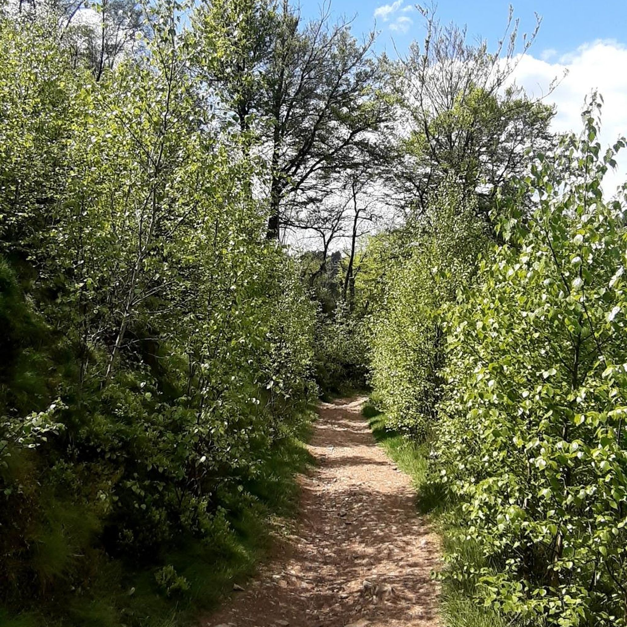
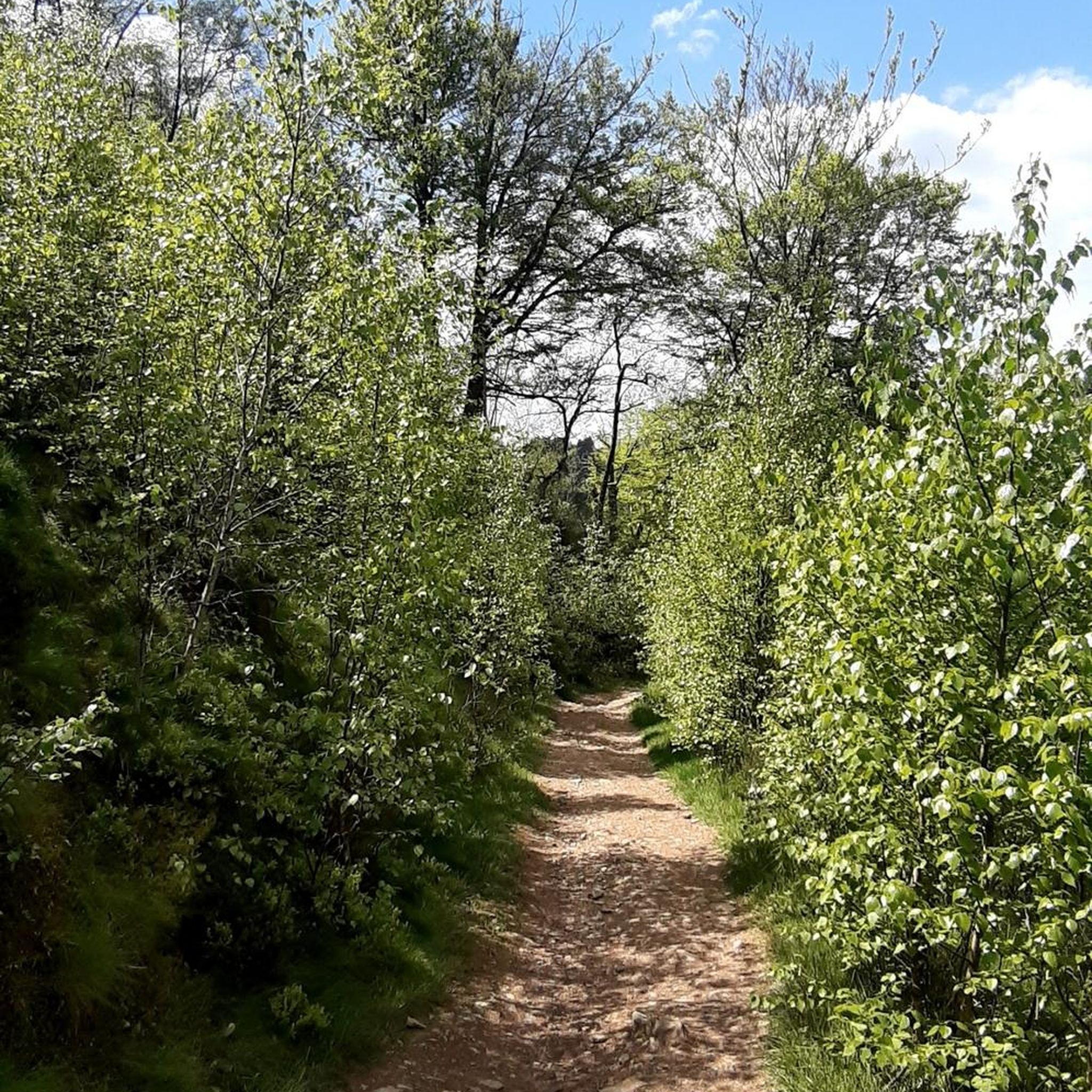
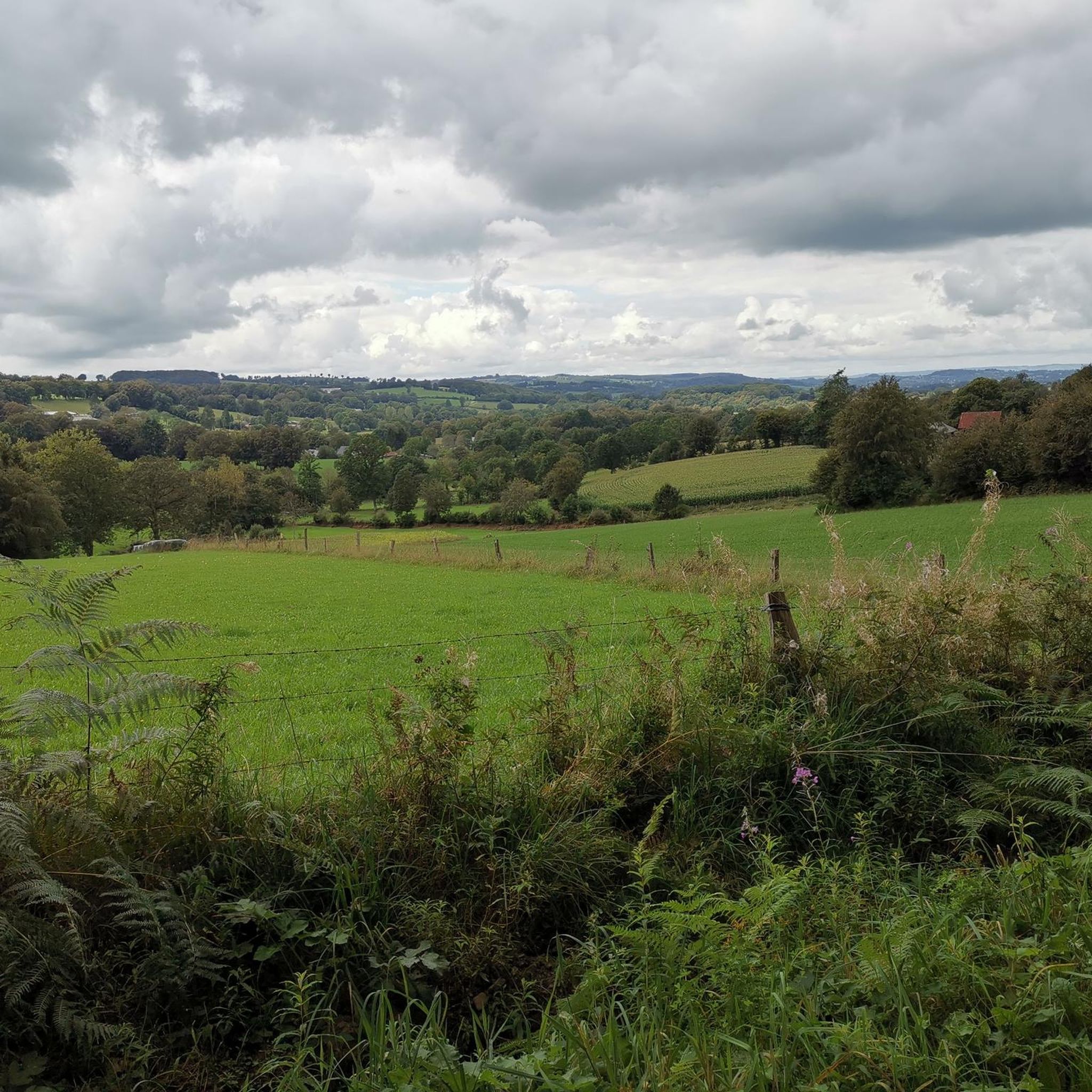
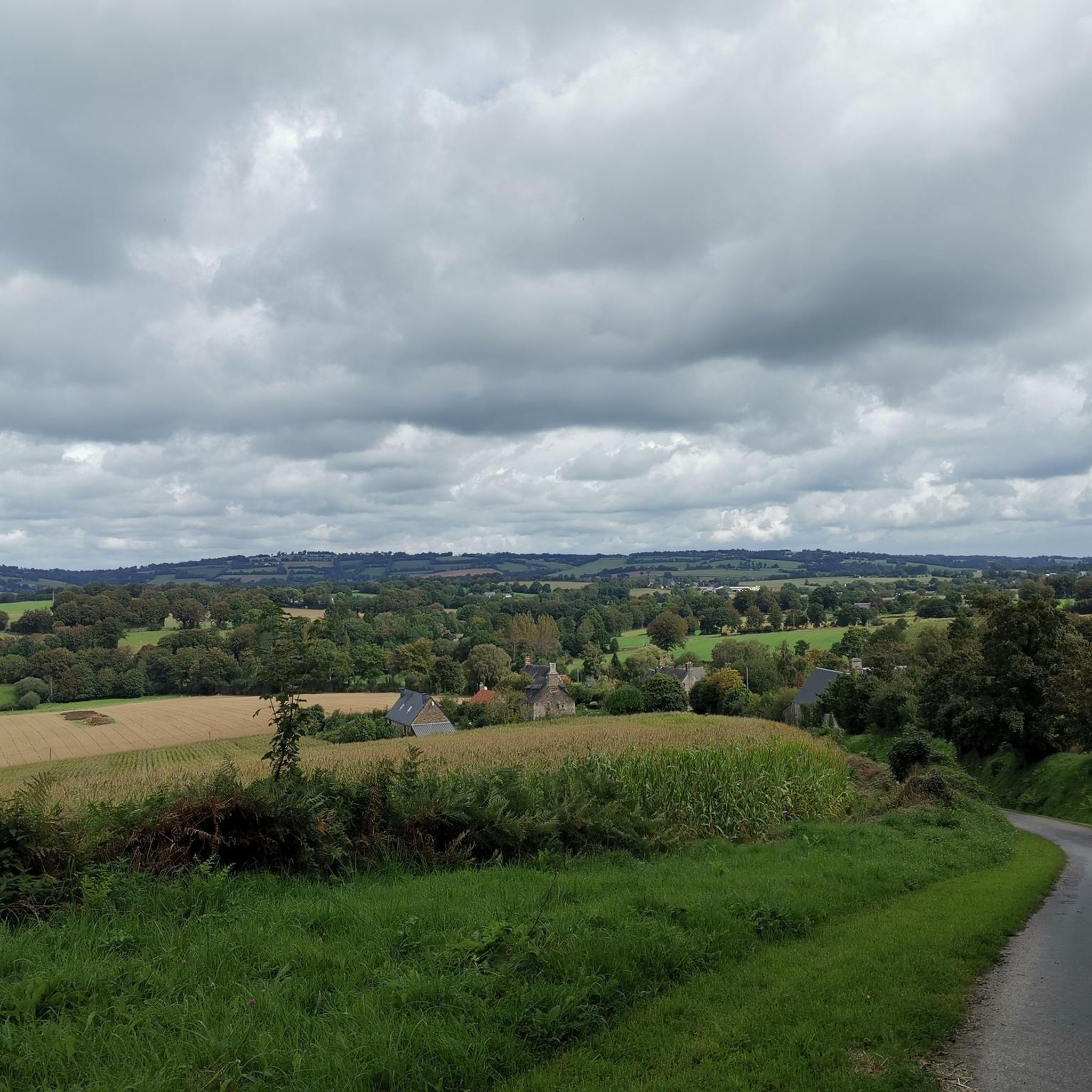
Hiking around Gathemo offers trails through a landscape characterized by gentle hills, agricultural areas, and features like the Lac de la Dathée. The region's elevation gains are generally low, making many routes accessible. Trails often follow waterways or pass through local hamlets, providing varied scenery.
Best hiking trails around Gathemo
- The most popular hiking route is Dathée Dam – Lac de la Dathée loop from Barrage de la Dathée, an easy 3.9 miles (6.3 km) trail that takes 1…
Last updated: July 2, 2026
4.6
(37)
289
hikers
6.31km
01:37
20m
20m
Easy hike. Great for any fitness level. Easily-accessible paths. Suitable for all skill levels.
4.6
(37)
289
hikers
5.70km
01:27
10m
10m
Easy hike. Great for any fitness level. Easily-accessible paths. Suitable for all skill levels.

Sign up for free
4.8
(6)
20
hikers
16.6km
04:29
210m
200m
Moderate hike. Good fitness required. Easily-accessible paths. Suitable for all skill levels.
4.5
(2)
22
hikers
13.9km
03:45
190m
190m
Moderate hike. Good fitness required. Easily-accessible paths. Suitable for all skill levels.
4.0
(1)
23
hikers
Moderate hike. Good fitness required. Easily-accessible paths. Suitable for all skill levels.
Get access to more routes and recommendations from other explorers.
Sign up for free
Already have an account?
Our route recommendations are based on thousands of hikes, rides, and runs completed by other people on komoot.
Start today with a free account
Your next adventure awaits.
Login or Signup

Tips from the Community

»Lord Jesus, our gaze is turned towards You, facing You – it is full of shame, repentance, and hope. (…) always grant us the grace of holy hope! Help us, Son of Man, to free ourselves from the arrogance of the evil-doer, the robber at Your left side, and of the short-sighted and the corrupt who saw in You a chance to exploit, an inferior to ridicule, another opportunity to burden others and even God with one's own guilt. Instead, we ask You, Son of God, to equate us with the good thief who looked at You with eyes full of shame, repentance, and hope; who with the eyes of faith saw the divine victory in Your apparent defeat and thus knelt before Your mercy and grace and, with honesty, with integrity, stole paradise. Amen!« (Prayer of the Way of the Cross with the Holy Father, Pope Francis, Good Friday 2018)
0
0

Very bucolic crossing point, with a fairly rich history! It was a major place for the paper trade until the end of the 17th century.
0
0


The golf course is well integrated into the area/nature.
2
0
Frequently Asked Questions
Are there easy hiking trails suitable for beginners in Gathemo?
Yes, Gathemo offers a good selection of easy trails, with 50 routes categorized as easy. The region's gentle hills and low elevation gains make many routes accessible for beginners. A great option is the Dathée Dam – Lac de la Dathée loop from Barrage de la Dathée, an easy 3.9-mile (6.3 km) trail.
What is the typical length of hiking trails around Gathemo?
Hiking trails in Gathemo vary in length. You can find shorter loops, such as the 3.9-mile (6.3 km) Dathée Dam – Lac de la Dathée loop, as well as longer, more moderate paths like the Granite Route – The Bœufs of the Croix Denise loop from Champ-du-Boult, which spans 10.4 miles (16.7 km).
Is parking available at the trailheads in Gathemo?
While specific parking details for every trailhead aren't universally listed, many routes in Gathemo start from villages or popular recreational areas like the Barrage de la Dathée, where parking is generally available. It's always a good idea to check the komoot tour page for your chosen route for specific starting points and any user comments regarding parking.
Are there family-friendly hiking options in Gathemo?
Yes, Gathemo is well-suited for family hikes. Many of the easier trails, particularly those around the Lac de la Dathée, feature relatively flat terrain and pleasant scenery, making them enjoyable for all ages. The region's low elevation gains contribute to their accessibility.
Can I hike with my dog on the trails in Gathemo?
Most hiking trails in Gathemo are generally dog-friendly, especially those that traverse agricultural land and natural areas. However, it's always recommended to keep your dog on a leash, particularly near livestock or in protected natural areas like the Ornithological Reserve near Lac de la Dathée, and to follow local regulations regarding pets.
What is the best time of year to go hiking in Gathemo?
The best time to hike in Gathemo is typically from spring through autumn (April to October) when the weather is mild and the landscape is vibrant. Summer offers longer daylight hours, while spring and autumn provide comfortable temperatures and beautiful seasonal colors. Winter hiking is possible, but some paths might be muddy, and daylight hours are shorter.
Are there any circular walks available in Gathemo?
Yes, Gathemo features numerous circular walks, which are popular among hikers. Many routes are designed as loops, allowing you to start and end at the same point. Examples include the Dathée Dam – Lac de la Dathée loop and the Golf de Vire La Dathée – Dathée Dam loop from Saint-Manvieu-Bocage.
What kind of scenery can I expect on hikes around Gathemo?
Hikes around Gathemo offer varied scenery characterized by gentle hills, agricultural fields, and waterways. You'll often find trails circling the beautiful Lac du Gast or passing through local hamlets. The region also features unique geological formations, such as those found on the Granite Route.
What do other hikers enjoy most about hiking in Gathemo?
The komoot community highly rates hiking in Gathemo, with an average score of 4.5 stars from over 200 reviews. Hikers often praise the accessible nature of the trails, the peaceful atmosphere around Lac de la Dathée, and the varied landscapes that include both natural features and glimpses of local life.
Are there any notable landmarks or natural attractions to see while hiking in Gathemo?
Yes, Gathemo and its surroundings offer several interesting natural attractions. You can explore the serene Lac du Gast, discover the unique rock formations along the Granite Route, or observe wildlife at the Ornithological Reserve. The Hameau Les Nouettes also offers a charming point of interest.
How many hiking trails are available in the Gathemo area?
There are over 110 hiking trails available in the Gathemo area, offering a wide range of options for different preferences and fitness levels. This includes 50 easy routes, 59 moderate routes, and a few more challenging trails.
Are there any trails that offer good viewpoints in Gathemo?
While Gathemo is characterized by gentle hills rather than dramatic mountains, some trails offer pleasant vistas over the surrounding agricultural landscape and the Lac de la Dathée. For example, the Golf de Vire La Dathée – Orientation Table at La Haye loop from Saint-Manvieu-Bocage includes an orientation table, suggesting a spot with a good view.
Most popular attractions around Gathemo

Get inspired with the komoot mobile app


Explore more
Browse the best Hikes in other regions.
