The best running trails around Saint-Michel-De-Montjoie
4.6
(82)
1,366
runners
82
runs
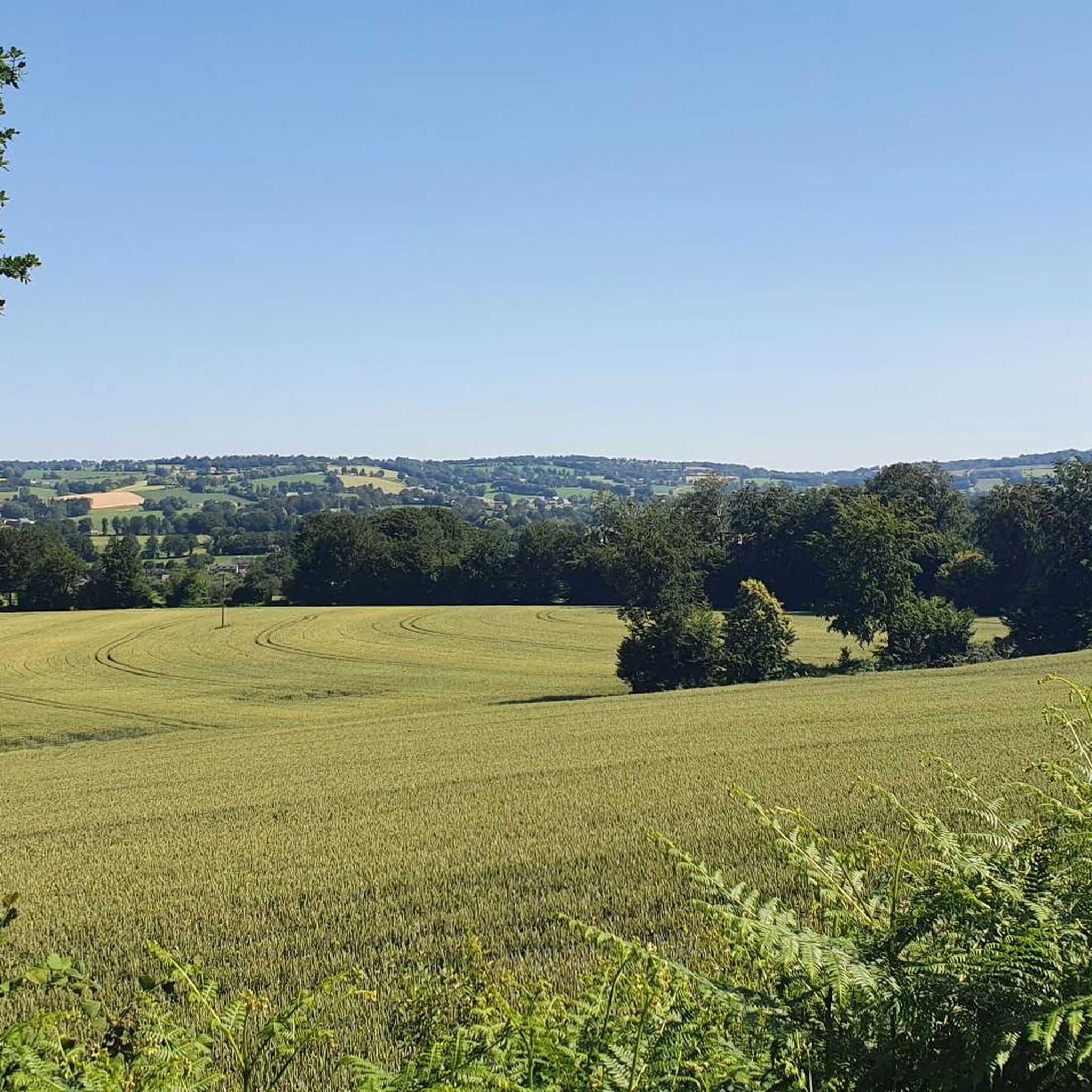
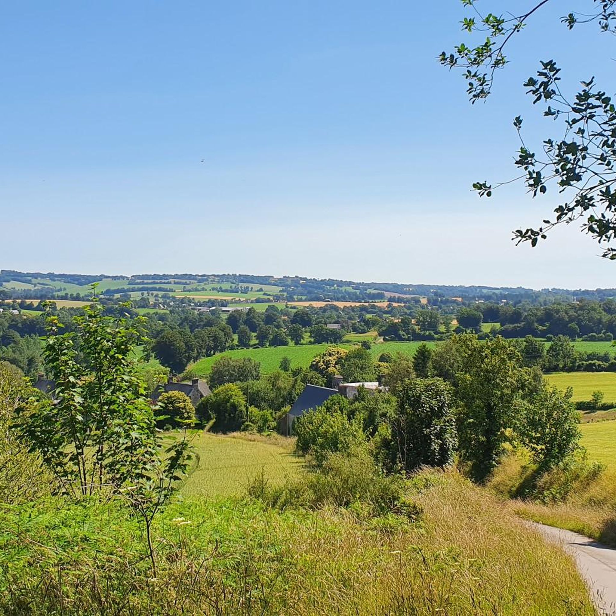
Jogging routes around Saint-Michel-De-Montjoie traverse a diverse landscape in Normandy, characterized by varied elevations and natural features. The region features numerous hills, locally known as "Montjoies," offering engaging and challenging running routes. Expansive forests and tranquil countryside paths provide varied surfaces and environments for runners. The area also includes significant water bodies like Lac de la Dathée, which offers scenic routes along its edges.
Best jogging routes around Saint-Michel-De-Montjoie
- The most popular jogging route is Running loop from Le Gast…
Last updated: July 5, 2026
13
runners
14.3km
01:43
200m
200m
Moderate run. Good fitness required. Mostly paved surfaces. Suitable for all skill levels.
14
runners
12.3km
01:25
160m
160m
Moderate run. Good fitness required. Mostly paved surfaces. Suitable for all skill levels.

Sign up for free
8
runners
6.13km
00:43
80m
80m
Moderate run. Good fitness required. Mostly paved surfaces. Suitable for all skill levels.
10
runners
13.8km
01:31
170m
180m
Moderate run. Good fitness required. Mostly paved surfaces. Suitable for all skill levels.
9
runners
14.3km
01:49
420m
420m
Hard run. Very good fitness required. Mostly paved surfaces. Suitable for all skill levels.
Get access to more routes and recommendations from other explorers.
Sign up for free
Already have an account?
Our route recommendations are based on thousands of hikes, rides, and runs completed by other people on komoot.
Start today with a free account
Your next adventure awaits.
Login or Signup

Tips from the Community

Mountain bike park with a pumptrack, restrooms, and a water fountain. Four cross-country loops (green, blue, red, black) and one downhill loop. Well-maintained with a magnificent view.
0
0

The Brouains Bumps: Pumptrack / Jumpline / DH / XCO - for mountain biking enthusiasts. Entry fee required.
0
0


For the pros
0
0


This 43-hectare artificial lake is also a delight for sports enthusiasts and nature lovers. The development of a path allowing you to go around the lake on foot or by bike. It is an emblematic site of the Bocage Normand. This circuit around the Lac de la Dathée is a very popular place for nature lovers.
3
0

La Dathée is a charming dam lake located near Vire and in the middle of the Normandy countryside.
0
0
Frequently Asked Questions
How many running routes are available around Saint-Michel-De-Montjoie?
There are over 70 running routes in the Saint-Michel-De-Montjoie area, offering a wide variety of distances and terrains for joggers of all levels.
What kind of terrain can I expect on the jogging trails in this region?
The region is known for its diverse landscape, including varied elevations with hills locally called "Montjoies," extensive forest paths, and tranquil lakeside routes. You'll find a mix of surfaces, from natural trails to developed paths around water bodies like Lac de la Dathée.
Are there any easy running routes suitable for beginners or a relaxed jog?
Yes, Saint-Michel-De-Montjoie offers several easy running paths. For instance, the area around Lac du Gast provides gentle routes through forests and along lake edges, perfect for a refreshing and less strenuous run.
Can I find challenging running trails with significant elevation gain?
Absolutely. The "Montjoies" or hills in the area provide engaging and challenging routes. For a more demanding run, consider routes like the Running loop from Chérencé-le-Roussel, which features over 400 meters of elevation gain.
What are some scenic points of interest or landmarks I might see while running?
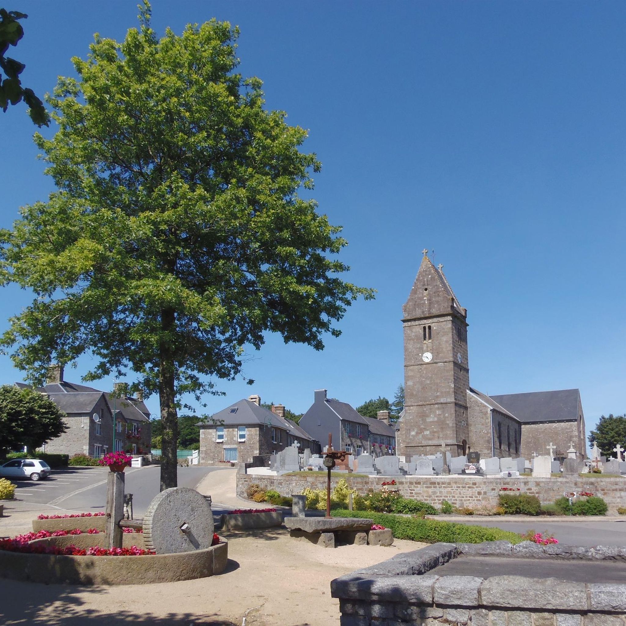
Many running routes offer beautiful views and pass by notable natural features. You can jog along the picturesque Lac de la Dathée, explore the Lac du Gast, or discover the unique geological character of the region, including the Granite Route. The village itself also boasts a pretty belvedere from its church with panoramic views.
Are there any running routes that are suitable for families?
While specific 'family' routes aren't designated, many of the easier and moderate loops, especially those around the lakes like Lac du Gast loop from Le Gast, are generally well-suited for families looking for a pleasant outdoor activity together. These often feature developed paths and tranquil settings.
Are dogs allowed on the running trails in Saint-Michel-De-Montjoie?
Generally, dogs are welcome on many of the trails in the countryside and forests around Saint-Michel-De-Montjoie. However, it's always advisable to keep them on a leash, especially near wildlife reserves like the Ornithological Reserve at Lac de la Dathée, and to respect local signage regarding pet policies.
What do other runners say about the jogging experience in this area?
The running routes in Saint-Michel-De-Montjoie are highly rated by the komoot community, with an average score of 4.6 stars from over 100 reviews. Runners often praise the varied terrain, the tranquility of the forests, and the scenic beauty of the lakeside paths.
Are there circular running routes available?
Yes, many of the routes in the area are designed as circular loops, allowing you to start and finish at the same point. Examples include the Running loop from Le Gast and the Lake Dathée – Lac de la Dathée loop from La Vicontière.
Is there public transport access to the trailheads?
While Saint-Michel-De-Montjoie is a rural area, public transport options might be limited directly to all trailheads. It's recommended to check local bus schedules or consider driving to access the starting points of many routes. For general information on transport in the wider region, you might consult local tourism resources.
Where can I find parking near the running trails?
Many trailheads, especially those near popular spots like Lac de la Dathée or Lac du Gast, often have designated parking areas. For specific routes, it's best to check the route details on komoot, as users often share information about parking availability.
What is the best time of year for running in Saint-Michel-De-Montjoie?
The region offers pleasant running conditions throughout much of the year. Spring and autumn provide mild temperatures and beautiful scenery, while summer is ideal for early morning or late evening runs. Even winter can be enjoyable, with crisp air and tranquil landscapes, though some paths might be muddy.
Most popular routes around Saint-Michel-De-Montjoie
Most popular attractions around Saint-Michel-De-Montjoie

Get inspired with the komoot mobile app


Explore more
Browse the best Running Trails & Routes in other regions.
