The best running trails around Javron-Les-Chapelles
4.3
(16)
618
runners
95
runs
Jogging around Javron-Les-Chapelles offers a network of routes through varied terrain. The region is characterized by its dense woodlands, such as the Bois de Villeray, and gentle rolling hills. These features provide a natural setting for running, with paths that traverse both open areas and shaded forest sections. The landscape is generally accessible, making it suitable for different levels of running experience.
Best jogging routes around Javron-Les-Chapelles
- The most popular jogging route is Étang de Villeray – Bois de Villeray…
Last updated: June 25, 2026
4.0
(1)
11
runners
10.7km
01:07
70m
70m
Moderate run. Good fitness required. Mostly paved surfaces. Suitable for all skill levels.
11
runners
5.93km
00:37
30m
30m
Moderate run. Good fitness required. Mostly paved surfaces. Suitable for all skill levels.

Sign up for free
9
runners
13.0km
01:39
260m
260m
Moderate run. Good fitness required. Mostly accessible paths. Some sure footedness required.
6
runners
15.2km
01:54
280m
280m
Hard run. Very good fitness required. Mostly accessible paths. Some sure footedness required.
3
runners
7.85km
00:49
70m
70m
Moderate run. Good fitness required. Mostly paved surfaces. Suitable for all skill levels.
Get access to more routes and recommendations from other explorers.
Sign up for free
Already have an account?
Our route recommendations are based on thousands of hikes, rides, and runs completed by other people on komoot.
Start today with a free account
Your next adventure awaits.
Login or Signup

Tips from the Community

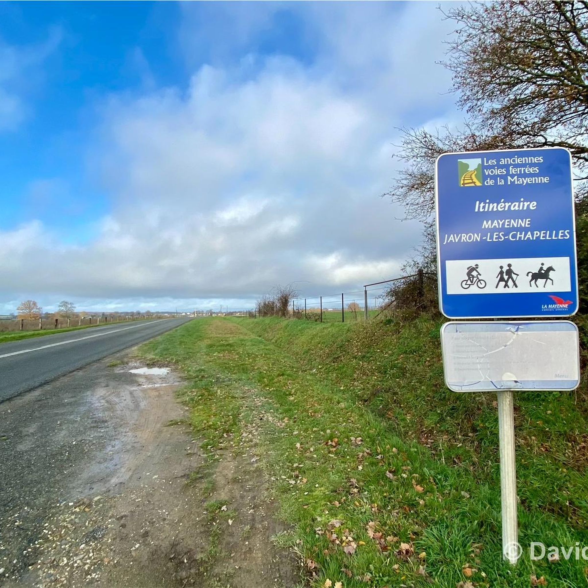
A pretty stretch of the old railway lines of the Mayenne which connects Javron to Mayenne. A safe route through the bocage... Ideal for outings with young children!
1
0
Frequently Asked Questions
How many running routes are available around Javron-Les-Chapelles?
There are over 85 running routes in and around Javron-Les-Chapelles, offering a wide variety of options for different skill levels and preferences.
Are there easy jogging routes for beginners in Javron-Les-Chapelles?
Yes, Javron-Les-Chapelles offers several easy jogging routes suitable for beginners. You can find 6 routes classified as 'easy', perfect for a gentle run through the local landscape.
What kind of terrain can I expect on the running trails in this region?
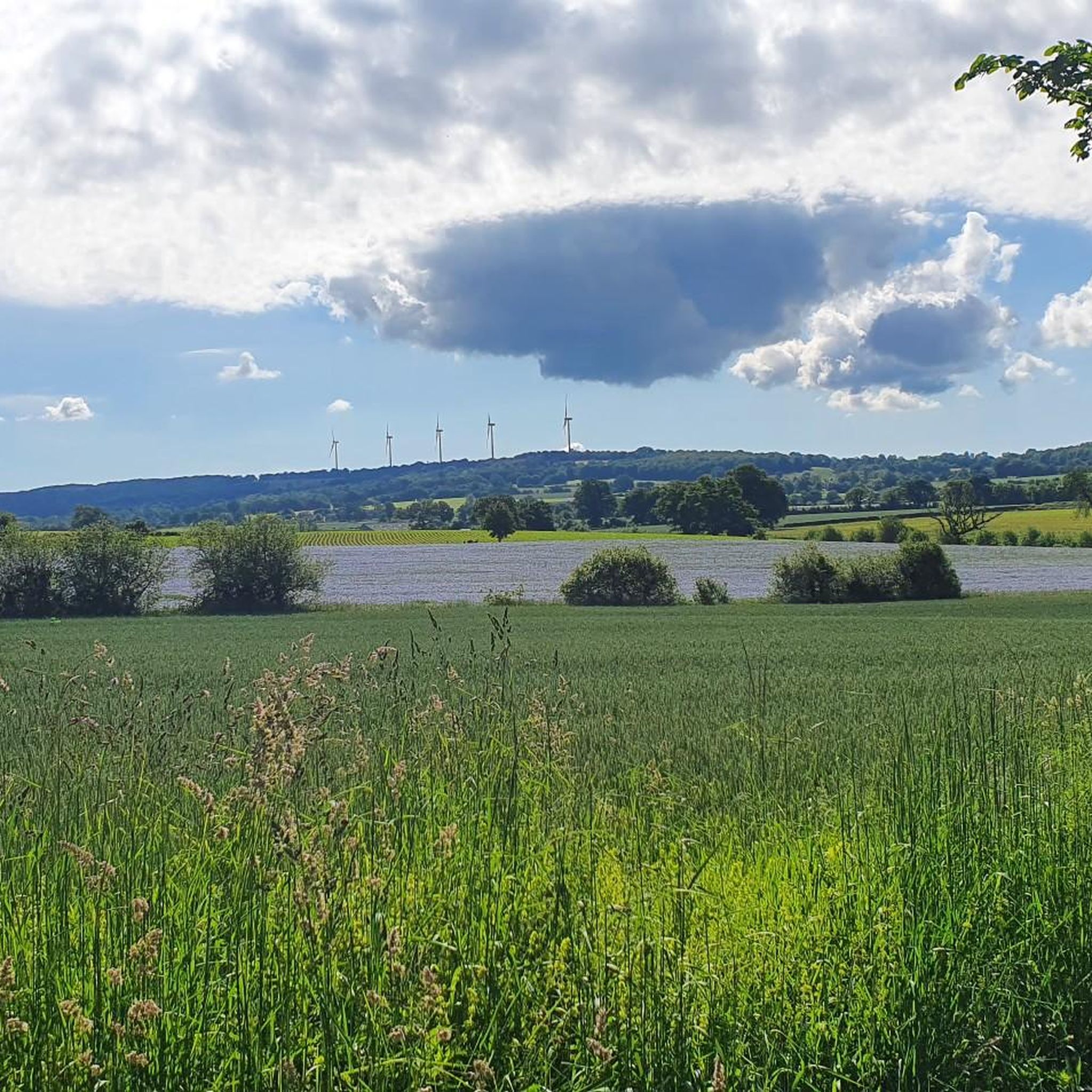
The running trails around Javron-Les-Chapelles are characterized by dense woodlands, particularly the Bois de Villeray, and gentle rolling hills. You'll find paths that traverse both open areas and shaded forest sections, providing a natural and varied setting for your run.
Are there any family-friendly running routes in Javron-Les-Chapelles?
While specific 'family-friendly' designations aren't always available, many of the moderate routes, especially those through the woodlands, can be suitable for families. Consider routes like the Bois de Villeray loop from La Gare, which is 3.7 miles (6.0 km) and offers a pleasant experience through dense woods.
Can I bring my dog on the running trails around Javron-Les-Chapelles?
Generally, dogs are welcome on most rural running trails in France, especially in natural areas like the woodlands around Javron-Les-Chapelles. However, it's always advisable to keep them on a leash, especially near wildlife or agricultural areas, and to check for any specific local regulations.
What are the typical lengths of running routes in Javron-Les-Chapelles?
Running routes in the area vary significantly in length. You can find shorter loops, such as the Bois de Villeray loop from La Gare at 3.7 miles (6.0 km), up to longer, more challenging runs like the Étang de Villeray – Bois de Villeray loop from Villaines-la-Juhel, which spans 9.8 miles (15.8 km).
Are there circular running routes available?
Yes, many of the running routes around Javron-Les-Chapelles are designed as loops, allowing you to start and finish at the same point. Examples include the popular Bois de Villeray loop from Javron-les-Chapelles and the Signal de Villepail loop from Crennes-sur-Fraubée.
What can I see along the running routes in Javron-Les-Chapelles?
While running, you can enjoy the natural beauty of the woodlands and gentle hills. For those interested in local history and architecture, nearby attractions include Lassey Castle, Saint Anthony Chapel, and Couterne Castle. The Villiers Gorges also offer a natural point of interest.
What do other runners enjoy most about jogging in Javron-Les-Chapelles?
The running routes in Javron-Les-Chapelles are highly rated by the komoot community, with an average score of 4.6 stars from over 15 reviews. Runners often praise the quiet woodlands, the varied terrain, and the accessibility of paths suitable for different ability levels.
What is the best time of year to go running in Javron-Les-Chapelles?
Spring and autumn are generally ideal for running in Javron-Les-Chapelles, offering mild temperatures and beautiful scenery as the foliage changes. Summer can also be pleasant, especially in the shaded forest sections, but be mindful of warmer temperatures. Winter running is possible, though paths might be damp or muddy.
Are there any challenging running trails for experienced runners?
Yes, for experienced runners seeking a challenge, there are 14 routes classified as 'difficult'. An example is the Signal de Villepail loop from La Couasnière, which covers 9.4 miles (15.2 km) and features significant elevation changes.
Most popular routes around Javron-Les-Chapelles
Most popular attractions around Javron-Les-Chapelles

Get inspired with the komoot mobile app


Explore more
Browse the best Running Trails & Routes in other regions.
