The best cycling routes around La Baconnière
4.6
(111)
843
riders
69
rides
Touring cycling routes around La Baconnière traverse a tranquil rural setting within the Mayenne department of France. The region is characterized by redeveloped old railway lines and river towpaths, offering traffic-free routes. Cyclists can expect to ride through valleys, alongside rivers, and past fields and tree-lined banks. The area's roads are generally less congested, providing a peaceful cycling experience.
Best touring cycling routes around La Baconnière
- The most popular touring cycling route is Le Gué Guérin – Beautiful Singletrack loop…
Last updated: July 4, 2026
5
riders
Hard bike ride. Very good fitness required. Mostly paved surfaces. Suitable for all skill levels.
5.0
(1)
6
riders
27.6km
02:07
260m
260m
Moderate bike ride. Good fitness required. Mostly paved surfaces. Suitable for all skill levels.

Sign up for free
3.0
(1)
6
riders
33.9km
02:33
340m
340m
Moderate bike ride. Good fitness required. Mostly paved surfaces. Suitable for all skill levels.
5.0
(1)
8
riders
38.7km
02:53
350m
350m
Moderate bike ride. Good fitness required. Mostly paved surfaces. Suitable for all skill levels.
5.0
(1)
4
riders
16.0km
00:58
120m
120m
Easy bike ride. Great for any fitness level. Mostly paved surfaces. Suitable for all skill levels.
Get access to more routes and recommendations from other explorers.
Sign up for free
Already have an account?
Our route recommendations are based on thousands of hikes, rides, and runs completed by other people on komoot.
Start today with a free account
Your next adventure awaits.
Login or Signup




Tips from the Community


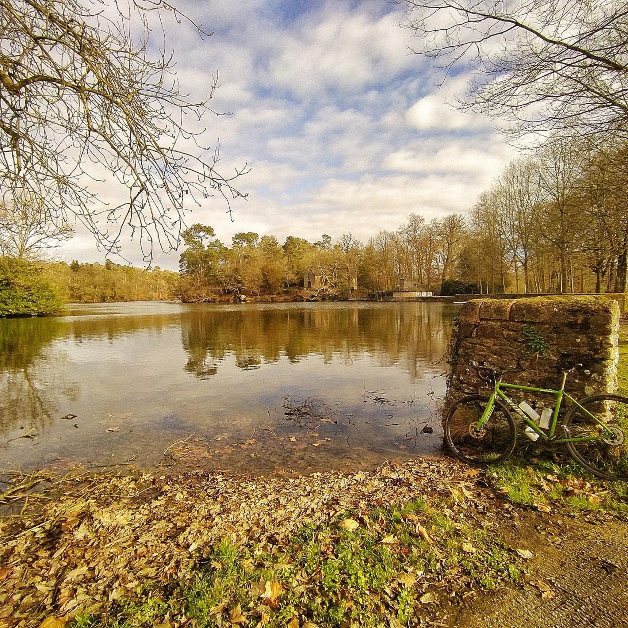
The Morfelon pond is a small lake surrounded by a botanical trail, a sports complex and a picnic area. L’Étang de Morfelon is a hidden gem that offers a peaceful and enjoyable experience for nature lovers.
2
0
It is a bridge over the Ernée which connects the village of Chailland to the forest of Mayenne. The deck is a good place to watch the sunset or have a picnic.
3
0
This church is a neo-Gothic building built in 1892 on the site of a Romanesque church. It has stained glass windows by master glassmaker Alleaume and a remarkable 18th century organ. The church is located in the picturesque village of Chailland, surrounded by hills and forests. There you can admire the Ernée river and the Rocher de la Vierge, which houses a statue of the Virgin Mary. You can also explore the surrounding trails which offer varying levels of difficulty and length. The Notre-Dame-de-l'Assomption Church in Chailland is a hike that will please both your eyes and your ears.
3
0

super nice space, full of small paths.
0
0
Frequently Asked Questions
How many touring cycling routes are available around La Baconnière?
There are over 75 touring cycling routes around La Baconnière, offering a wide range of options for exploring the tranquil rural setting of the Mayenne department. These routes are highly rated by the komoot community, with an average score of 4.6 stars.
Are there easy touring cycling routes suitable for beginners or families in La Baconnière?
Yes, La Baconnière offers a good selection of easy touring cycling routes. There are 18 routes classified as easy, many of which utilize redeveloped old railway lines and river towpaths, providing safe, traffic-free paths ideal for all ages and skill levels. These paths allow for a relaxed pace through picturesque landscapes.
What kind of landscapes can I expect to see while cycling around La Baconnière?
The touring cycling routes around La Baconnière traverse diverse rural landscapes. You can expect to ride through serene valleys, alongside rivers, and past fields and tree-lined banks. The region is characterized by its greenways and river towpaths, offering peaceful rides with clean air away from congested roads.
Are there any long-distance cycling routes accessible from La Baconnière?
Yes, La Baconnière is well-connected to significant national cycling routes. It lies within the scope of La Vélo Francette®, a 630 km cycle path connecting Normandy to the Atlantic coast, with a substantial portion running along the Mayenne towpath. Another major route accessible from the region is La Véloscénie®, a 450 km journey from Notre-Dame de Paris to Mont Saint-Michel, offering a historical and scenic exploration of France.
What are some notable attractions or landmarks I can visit near the cycling routes?
While cycling around La Baconnière, you can explore several nearby attractions. The historic city of Laval, just 15 km away, features a notable castle and a scenic river. Other points of interest include Belle-Poule Lock, the Notre-Dame-de-l'Assomption Church of Chailland, and the Port Lake. The region also offers natural beauty spots like various ponds and forests.
Are there challenging or difficult touring cycling routes in the area?
Yes, for experienced touring cyclists seeking a challenge, there are 19 difficult routes around La Baconnière. An example is Le Gué Guérin – Beautiful Singletrack loop from La Baconnière, a 40.5 km trail with varied terrain that takes over 3 hours to complete.
What do other touring cyclists enjoy most about cycling in La Baconnière?
The area is highly rated by the komoot community, with an average score of 4.6 stars from over 100 reviews. Reviewers often praise the tranquil rural setting, the peaceful traffic-free greenways, and the diverse landscapes that make for a relaxing and enjoyable cycling experience.
Can I find circular touring cycling routes around La Baconnière?
Yes, many of the touring cycling routes around La Baconnière are designed as loops, allowing you to start and end your journey in the same location. For example, the Bike loop from Saint-Ouën-des-Toits offers a moderate 28 km ride through the rural landscape.
What is the best time of year to go touring cycling in La Baconnière?
The Mayenne region, including La Baconnière, is ideal for cycling during spring, summer, and early autumn. The generally less congested roads and peaceful rural setting provide pleasant conditions for riding, with clean air and comfortable temperatures for exploring the picturesque landscapes.
Are there any specific routes that offer views of local ponds or natural features?
Yes, some routes will take you near local natural features. For instance, the Étang de Morfelon – Church loop from Le Bourgneuf-la-Forêt leads through areas near the Étang de Morfelon, offering views of this natural pond. The region also features various other ponds like Étang de Haute-Vilaine and Étang de Paintourteau.
Where can I find more information about the greenways and cycling networks in Mayenne?
For detailed information about the extensive network of greenways and cycling routes in the broader Mayenne region, including the redeveloped old railway lines and river towpaths, you can visit the official France Vélo Tourisme website: The Greenways of Mayenne.
Is there a moderate touring cycling route that explores the wider area?
Certainly. A moderate option that allows you to explore the rural surroundings is the Bike loop from Chailland. This route covers 45.9 km and typically takes around 3 hours and 20 minutes, offering a good balance of distance and effort.
Are there any short, easy routes for a quick ride?
Yes, if you're looking for a shorter, easier ride, consider the Bike loop from Saint-Roch. This route is 16.3 km long and is classified as easy, making it perfect for a quick and enjoyable outing.
Most popular routes around La Baconnière
Most popular attractions around La Baconnière

Get inspired with the komoot mobile app


Explore more
Browse the best Cycling routes in other regions.
