The best walks and hikes around La Bazoge-Montpinçon
4.7
(53)
360
hikers
56
hikes
Hiking around La Bazoge-Montpinçon offers exploration of a rural setting in the Mayenne department of northwestern France. The area features a diverse landscape of meadows, fields, and woods, shaped by varied terrain. Elevations range from 99 to 144 meters (325 to 472 ft), providing a mix of relatively flat paths and gentle inclines. The Aron River, a tributary of the Mayenne, borders the commune, adding water features to the verdant nature and rolling landscapes.
Best hiking trails around La Bazoge-Montpinçon
…Last updated: July 4, 2026
4.7
(3)
18
hikers
14.8km
03:56
150m
150m
Moderate hike. Good fitness required. Easily-accessible paths. Suitable for all skill levels.
4.0
(1)
16
hikers
13.2km
03:23
60m
60m
Moderate hike. Good fitness required. Easily-accessible paths. Suitable for all skill levels.

Sign up for free
5.0
(2)
15
hikers
8.68km
02:17
80m
80m
Moderate hike. Good fitness required. Easily-accessible paths. Suitable for all skill levels.
11
hikers
3.08km
00:47
10m
10m
Easy hike. Great for any fitness level. Easily-accessible paths. Suitable for all skill levels.
11
hikers
8.51km
02:12
50m
50m
Moderate hike. Good fitness required. Easily-accessible paths. Suitable for all skill levels.
Get access to more routes and recommendations from other explorers.
Sign up for free
Already have an account?
Our route recommendations are based on thousands of hikes, rides, and runs completed by other people on komoot.
Start today with a free account
Your next adventure awaits.
Login or Signup
Tips from the Community

This castle was built in the 10th century. Half a century later, the castle became a garrison castle. 400 years later, it served as a prison in the 18th century. In the middle of town, the castle gardens are worth wandering through for a quiet moment.
3
0

Built on the site of a former Carolingian residence of the 10th century, the castle, which dominates the old town, is the emblematic monument of Mayenne. Most of the visible elements date from the 13th century, in particular the dwelling and the circular keep. It houses the city museum, which exhibits objects from daily life in the Middle Ages. Medieval board games, including chess pieces and a backgammon board, are among the best-preserved pieces in the world.
1
0

It's a great alternative to the Velofrancette by taking the towpath from km 0. It rolls by itself and it's beautiful!
1
0
Frequently Asked Questions
How many hiking trails are available around La Bazoge-Montpinçon?
There are over 50 hiking trails in the La Bazoge-Montpinçon area, offering a diverse range of experiences. These include 30 easy routes, 28 moderate routes, and 1 more challenging option, ensuring something for every fitness level.
What kind of terrain can I expect on hikes in La Bazoge-Montpinçon?
The terrain around La Bazoge-Montpinçon is primarily rural, characterized by a harmonious blend of meadows, fields, and woodlands. You'll find varied landscapes including bocage (small fields and woodlands), tranquil roads, and undergrowth. Elevations are generally gentle, ranging from 99 to 144 meters (325 to 472 ft), providing a mix of relatively flat paths and mild inclines.
Are there any easy, family-friendly walks in the area?
Yes, La Bazoge-Montpinçon offers several easy routes suitable for families. For a pleasant and short stroll, consider the Étang de La Forge loop from Aron, which is just under 3 km and takes about 45 minutes to complete through gentle terrain.
What natural features can I see while hiking near La Bazoge-Montpinçon?
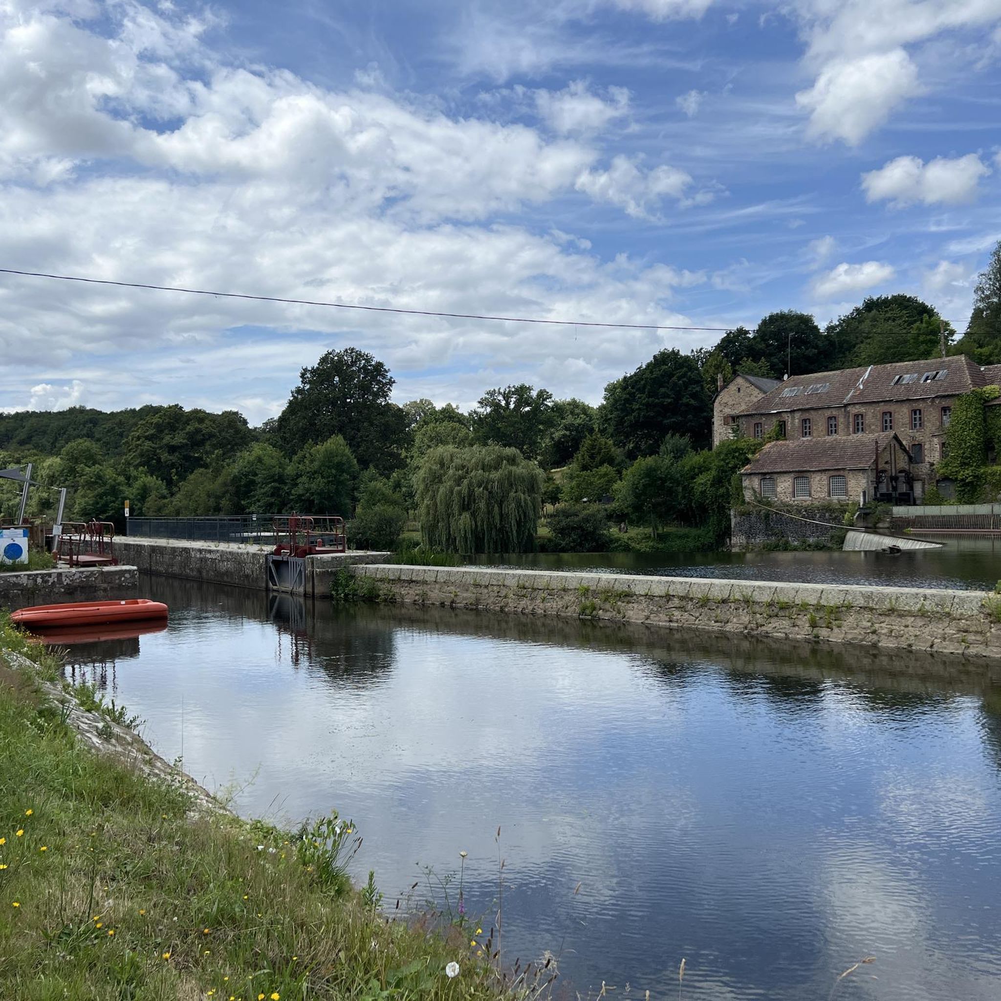
Hikers can enjoy the verdant nature and rolling landscapes, with the Aron River, a tributary of the Mayenne, bordering the commune. The area features picturesque bocage, tranquil water bodies, and wooded sections, providing scenic views and a peaceful outdoor experience.
Are there any historical or cultural attractions along the hiking trails?
Yes, the region is rich in history. Some trails offer views of historical sites, such as the Château de Mayenne. You can also explore nearby towns like Jublains, known for its Roman heritage, which features the Jublains Museum and the Gallo-Roman town of Jublains itself.
What do other hikers say about the trails in La Bazoge-Montpinçon?
The trails in La Bazoge-Montpinçon are highly regarded by the komoot community, with an average rating of 4.7 out of 5 stars from over 40 reviews. Hikers frequently praise the well-maintained paths, the peaceful rural scenery, and the diverse landscapes that make for enjoyable outings.
Are there any circular hiking routes available?
Many of the routes in La Bazoge-Montpinçon are circular, allowing you to start and end at the same point. An example is the Hiking loop from Mayenne, a moderate 14.8 km path that winds through preserved bocage and rural scenery.
Can I hike along the Mayenne River?
Yes, several routes allow you to explore the Mayenne River valley. The Tour of Mayenne loop from Aron, for instance, leads through both the Mayenne and Aron valleys, offering picturesque riverside views and a chance to experience the preserved bocage.
What is a good moderate hike that offers scenic views?
For a moderate hike with rewarding views, consider the Château de Mayenne loop from Moulay. This 8.7 km trail takes about 2 hours and 17 minutes and provides excellent views towards the Mayenne castle.
Are there any longer day hikes for more experienced hikers?
While most routes are moderate, there are options for longer excursions. The Hiking loop from Mayenne is a good choice, covering 14.8 km and typically taking almost 4 hours, allowing for a more extended exploration of the region's rural scenery.
What is the best time of year to go hiking in La Bazoge-Montpinçon?
The region's 'verdant nature and rolling landscapes' suggest that spring and summer offer lush scenery, while autumn would bring beautiful fall colors. The relatively gentle terrain makes hiking enjoyable across multiple seasons, though checking local weather is always advisable.
Most popular routes around La Bazoge-Montpinçon
Most popular attractions around La Bazoge-Montpinçon

Get inspired with the komoot mobile app


Explore more
Browse the best Hikes in other regions.
