The best walks and hikes around Saint-Nazaire-Sur-Charente
4.5
(387)
3,613
hikers
156
hikes
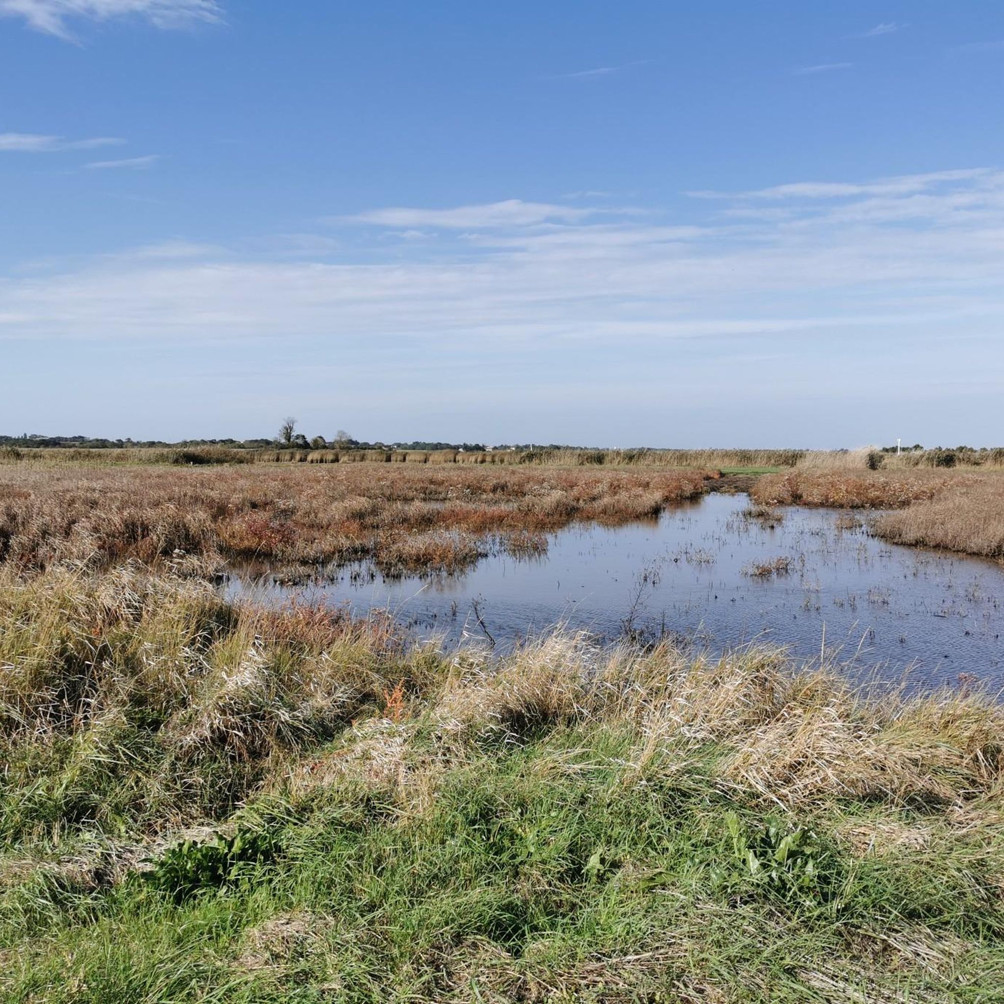
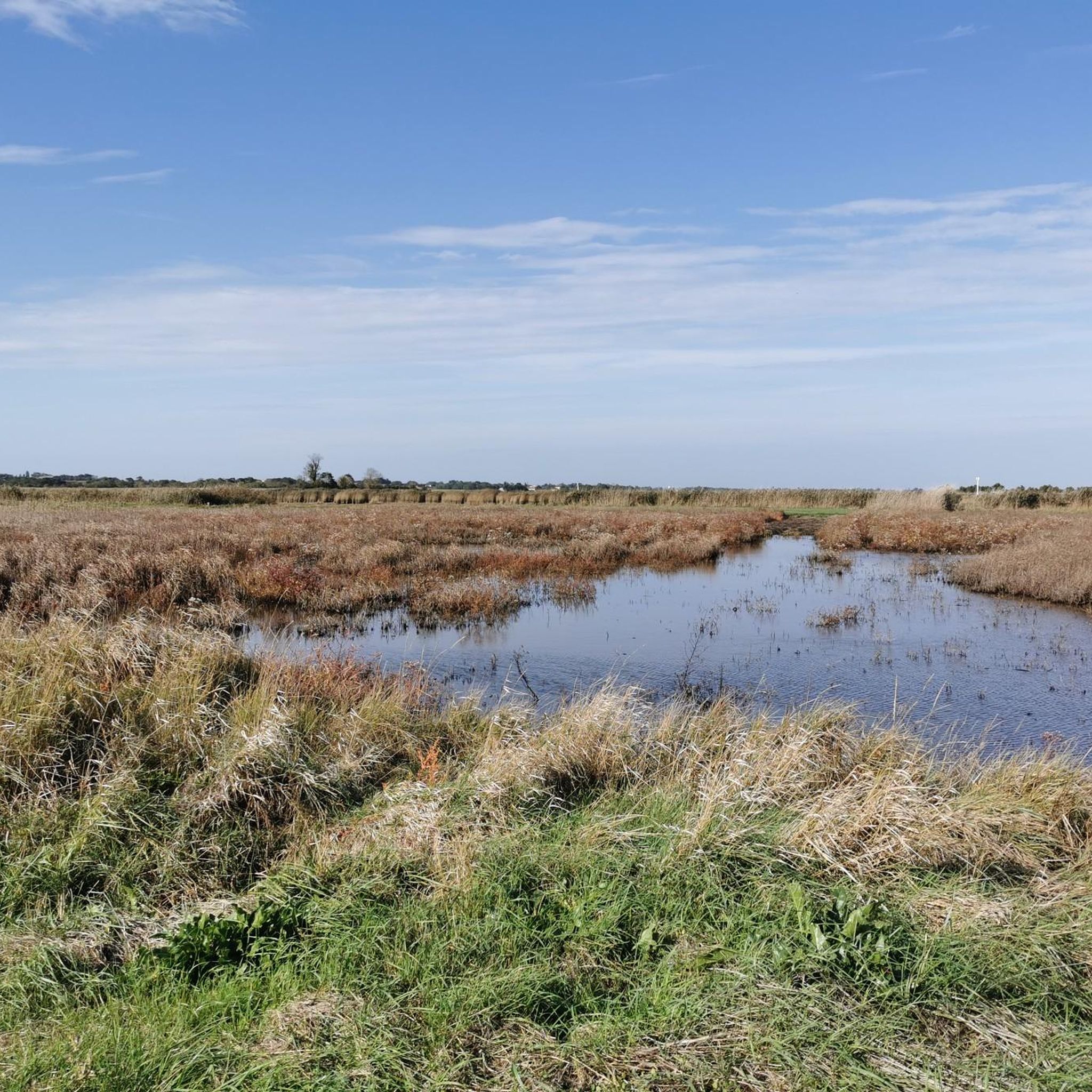
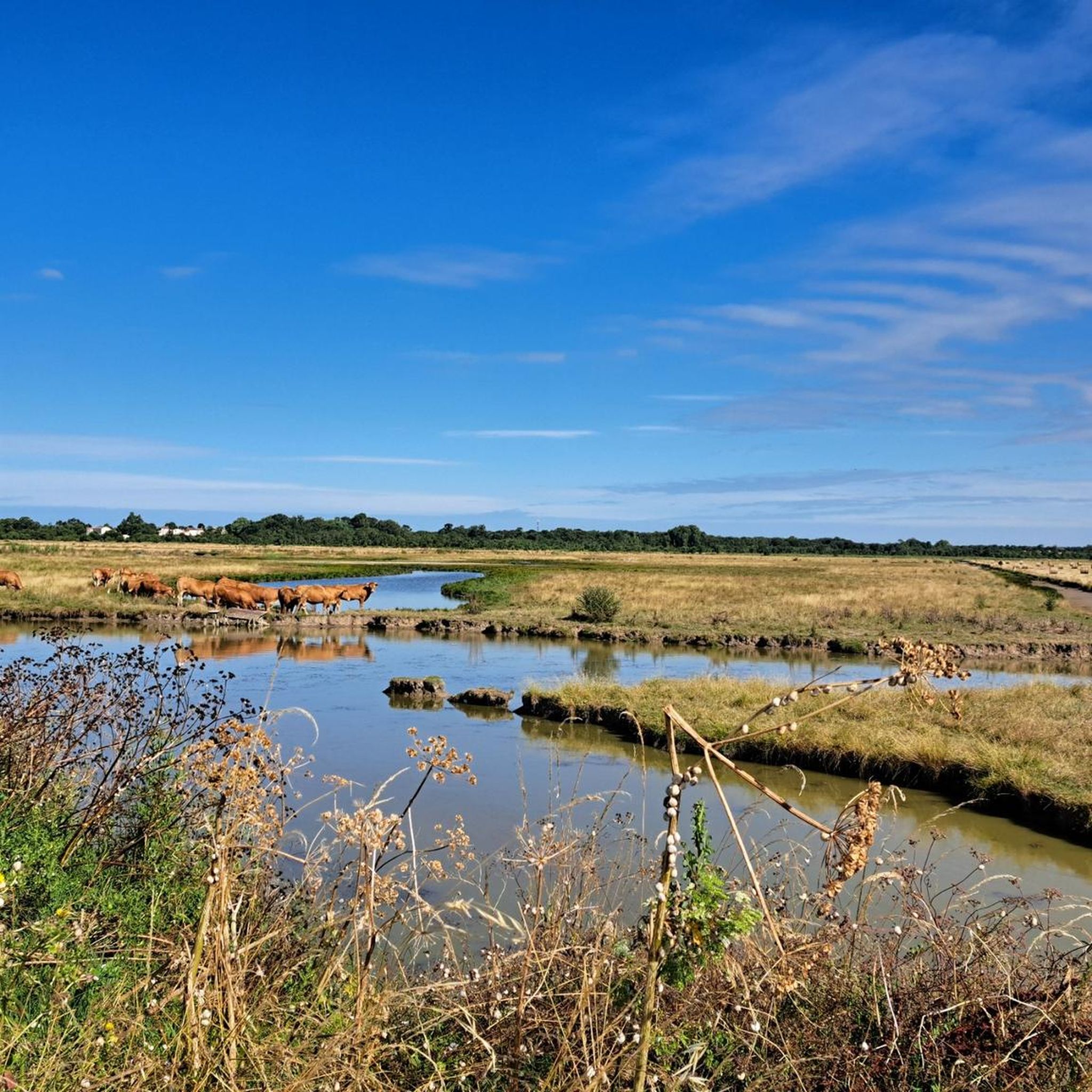
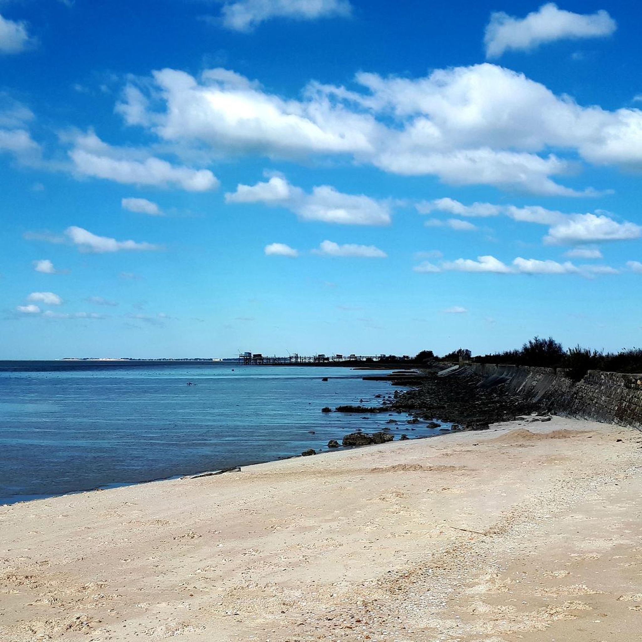
Hiking around Saint-Nazaire-Sur-Charente offers diverse landscapes, characterized by its location within the Charente estuary. The region features extensive coastal paths, protected nature reserves, and significant marshlands. Historical fortifications are scattered along the estuary, providing points of interest during hikes.
Best hiking trails around Saint-Nazaire-Sur-Charente
- The most popular hiking route is Rochefort – loop, a 9.9 miles (16.0 km) trail that takes 4 hours 3 minutes to complete. This moderate route features low elevation gain and passes through varied terrain…
Last updated: July 1, 2026
4.7
(7)
29
hikers
16.0km
04:04
40m
40m
Moderate hike. Good fitness required. Easily-accessible paths. Suitable for all skill levels.
4.0
(10)
84
hikers
13.2km
03:22
40m
40m
Moderate hike. Good fitness required. Easily-accessible paths. Suitable for all skill levels.

Sign up for free
4.0
(2)
38
hikers
15.2km
03:49
10m
10m
Moderate hike. Good fitness required. Easily-accessible paths. Suitable for all skill levels.
4.4
(7)
37
hikers
Easy hike. Great for any fitness level. Easily-accessible paths. Suitable for all skill levels.
5.0
(2)
24
hikers
Moderate hike. Good fitness required. Easily-accessible paths. Suitable for all skill levels.
Get access to more routes and recommendations from other explorers.
Sign up for free
Already have an account?
Our route recommendations are based on thousands of hikes, rides, and runs completed by other people on komoot.
Start today with a free account
Your next adventure awaits.
Login or Signup
Tips from the Community

The Carrelets are small, very picturesque fishermen's huts
0
0

A very impressive sailing ship. A visit is definitely worth it.
2
1
A very beautiful archway!
2
0

I love it but you shouldn't let it be known
0
0


Good place to watch the bridge traffic. Belvedere and Transbodeur are connected by a short path with explanatory panels.
1
0
Frequently Asked Questions
What kind of hiking trails can I expect in Saint-Nazaire-Sur-Charente?
Saint-Nazaire-Sur-Charente offers a diverse range of hiking experiences. You'll find extensive coastal paths, unique estuary landscapes, and significant marshlands. The region is also dotted with historical fortifications, providing interesting points of interest along many routes. The terrain generally features low elevation gain, making it accessible for various fitness levels.
How many hiking trails are available in the Saint-Nazaire-Sur-Charente area?
There are over 145 hiking routes recorded in the Saint-Nazaire-Sur-Charente area. These include a mix of easy strolls, moderate explorations, and a few more challenging options, ensuring there's something for every hiker.
Are there easy hiking trails suitable for beginners or families in Saint-Nazaire-Sur-Charente?
Yes, Saint-Nazaire-Sur-Charente has plenty of easy trails. With 91 routes classified as easy, you'll find many options perfect for beginners or families. An example is the View of Ile Madame – Port-des-Barques dike loop from Port-des-Barques, which is 4.0 miles (6.5 km) long and takes about 1 hour 40 minutes, offering coastal views with minimal elevation.
What are the typical landscapes and natural features I'll encounter on hikes here?
Hikers in Saint-Nazaire-Sur-Charente will experience the unique Charente estuary, coastal paths, and vast marshlands. Notable natural features include the Moëze-Oléron Nature Reserve and the Marais de Fouras, known for birdwatching. You'll also spot the iconic 'carrelets' – traditional wooden fishing huts on stilts – along the coast.
Are there any historical landmarks or attractions to see while hiking?
Yes, the region is rich in history. Many trails offer views of, or pass by, historical fortifications built to defend the Charente estuary, such as Fort Lupin. You can also visit the nearby Rochefort Transporter Bridge, a significant historical and engineering marvel, or explore the Brouage Citadel.
What is the best time of year to go hiking in Saint-Nazaire-Sur-Charente?
The best time to hike in Saint-Nazaire-Sur-Charente is generally during spring, summer, and early autumn. The coastal paths and marshlands are particularly pleasant in milder weather, allowing for comfortable exploration of the diverse landscapes and wildlife. The changing tides also offer different views throughout the day.
Are there any circular hiking routes in the area?
Yes, many routes in Saint-Nazaire-Sur-Charente are designed as loops, offering varied scenery without retracing your steps. For example, the Rochefort – loop is a 9.9 miles (16.0 km) moderate trail, and the Pebble Cross – Passe aux Boeufs loop from Saint-Nazaire-sur-Charente is another popular moderate circular option.
What do other hikers say about the trails in Saint-Nazaire-Sur-Charente?
The hiking routes in Saint-Nazaire-Sur-Charente are highly rated by the komoot community, with an average score of 4.5 stars from over 350 reviews. Hikers often praise the unique coastal scenery, the tranquility of the marshlands, and the historical points of interest found along the trails.
Is public transport available to reach hiking trailheads?
While specific public transport details for every trailhead are not available, Saint-Nazaire-Sur-Charente is a well-connected area. For general information on getting around the region, you might find resources on the local tourism website helpful: saint-nazaire-tourisme.uk.
Are there any parks or gardens in Saint-Nazaire-Sur-Charente that are good for a leisurely walk?
Within Saint-Nazaire itself, you can enjoy leisurely walks in the 'Parc Paysager' (landscape park) with 123 acres of greenery and a lake, or the historic 'Jardin des Plantes' (botanical garden). These offer a more relaxed walking experience away from the longer trails. More information can be found at saint-nazaire-tourisme.uk.
What is the typical elevation gain on hikes in this region?
Most hikes in Saint-Nazaire-Sur-Charente feature relatively low elevation gain, reflecting the coastal and marshland terrain. For example, the Rochefort – loop has an elevation gain of only 38 meters over 16 km, making many routes quite gentle.
Can I find trails that offer views of the estuary and its islands?
Absolutely. Many trails are specifically designed to showcase the Charente estuary and its islands. The View of Ile Madame – Port-des-Barques dike loop from Port-des-Barques is a prime example, offering excellent perspectives of Ile Madame and the surrounding coastal areas.
Most popular routes around Saint-Nazaire-Sur-Charente
Most popular attractions around Saint-Nazaire-Sur-Charente

Get inspired with the komoot mobile app


Explore more
Browse the best Hikes in other regions.
