The best road cycling routes around Ponts
4.2
(110)
2,668
riders
199
rides
Road cycling around Ponts features a landscape characterized by its proximity to the coast and river valleys, offering varied terrain for cyclists. The region includes areas with significant elevation changes, such as those near Avranches, alongside routes that provide views of notable landmarks like Mont Saint-Michel. Cyclists can expect a mix of coastal paths and inland routes, with some challenging climbs.
Best road cycling routes around Ponts
- The most popular road cycling route is Meeting Mont Saint-Michel Trail, a…
Last updated: August 15, 2026
5.0
(2)
9
riders
35.3km
01:37
310m
310m
This moderate 22.0-mile road cycling route offers iconic views of Mont Saint-Michel and diverse coastal landscapes near Avranches.
5.0
(5)
73
riders
50.3km
02:00
230m
230m
Easy road ride. Great for any fitness level. Mostly well-paved surfaces and easy to ride.

Sign up for free
4.0
(1)
62
riders
68.6km
02:47
320m
320m
Moderate road ride. Good fitness required. Some segments of this route may be unpaved and difficult to ride.
3.0
(1)
38
riders
91.3km
03:57
700m
700m
Moderate road ride. Good fitness required. Mostly well-paved surfaces and easy to ride.
3.3
(4)
47
riders
32.3km
01:21
210m
210m
Moderate road ride. Great for any fitness level. Some segments of this route may be unpaved and difficult to ride.
Get access to more routes and recommendations from other explorers.
Sign up for free
Already have an account?
Our route recommendations are based on thousands of hikes, rides, and runs completed by other people on komoot.
Start today with a free account
Your next adventure awaits.
Login or Signup


Tips from the Community

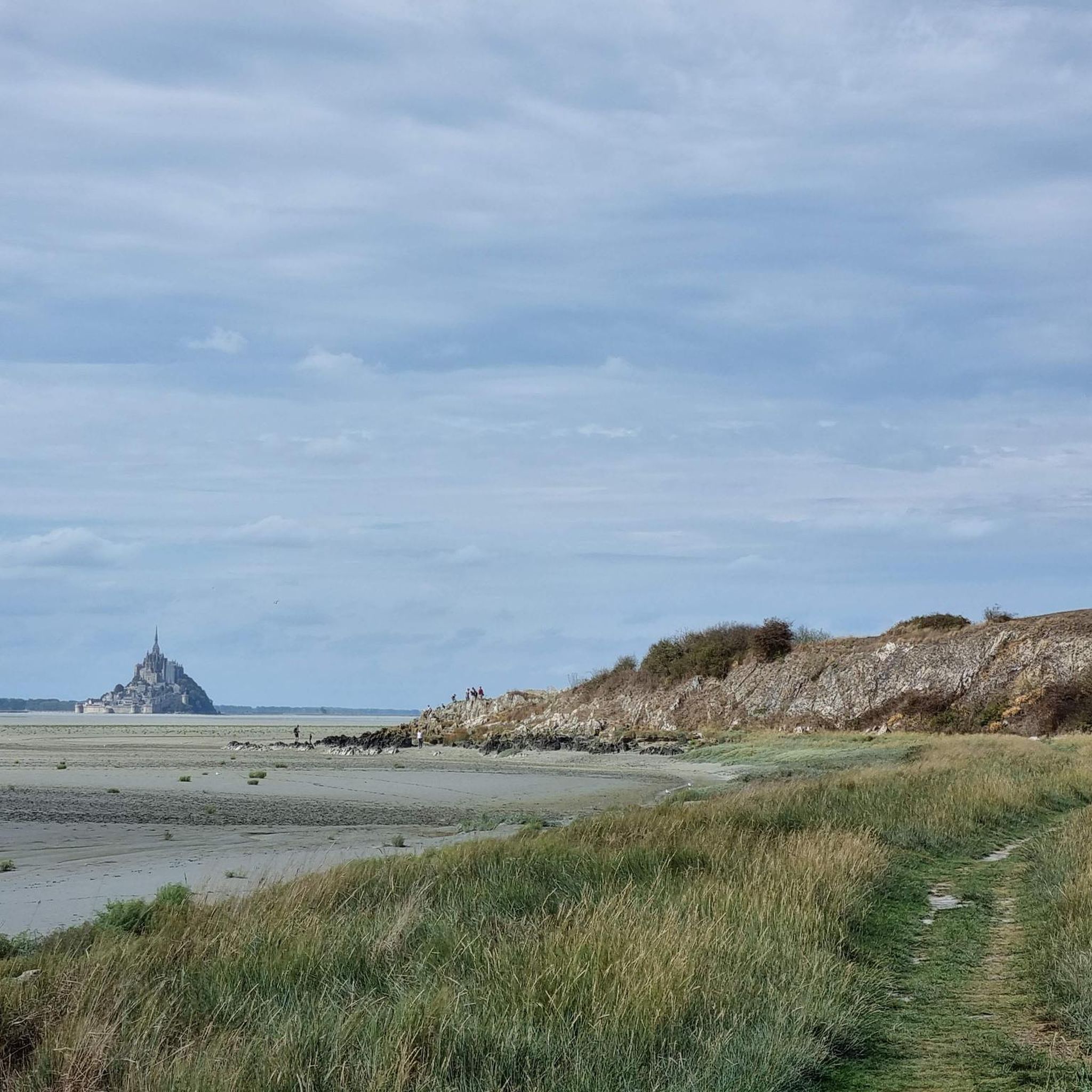
Mont-Saint-Michel is a world-famous rocky island and commune on the border between Normandy and Brittany in France. Crowned by a monumental, medieval Benedictine abbey, this architectural marvel has been a UNESCO World Heritage site since 1979. The bay of the mount is also known for Europe's strongest tides, with a tidal range of up to 14 meters.
1
0

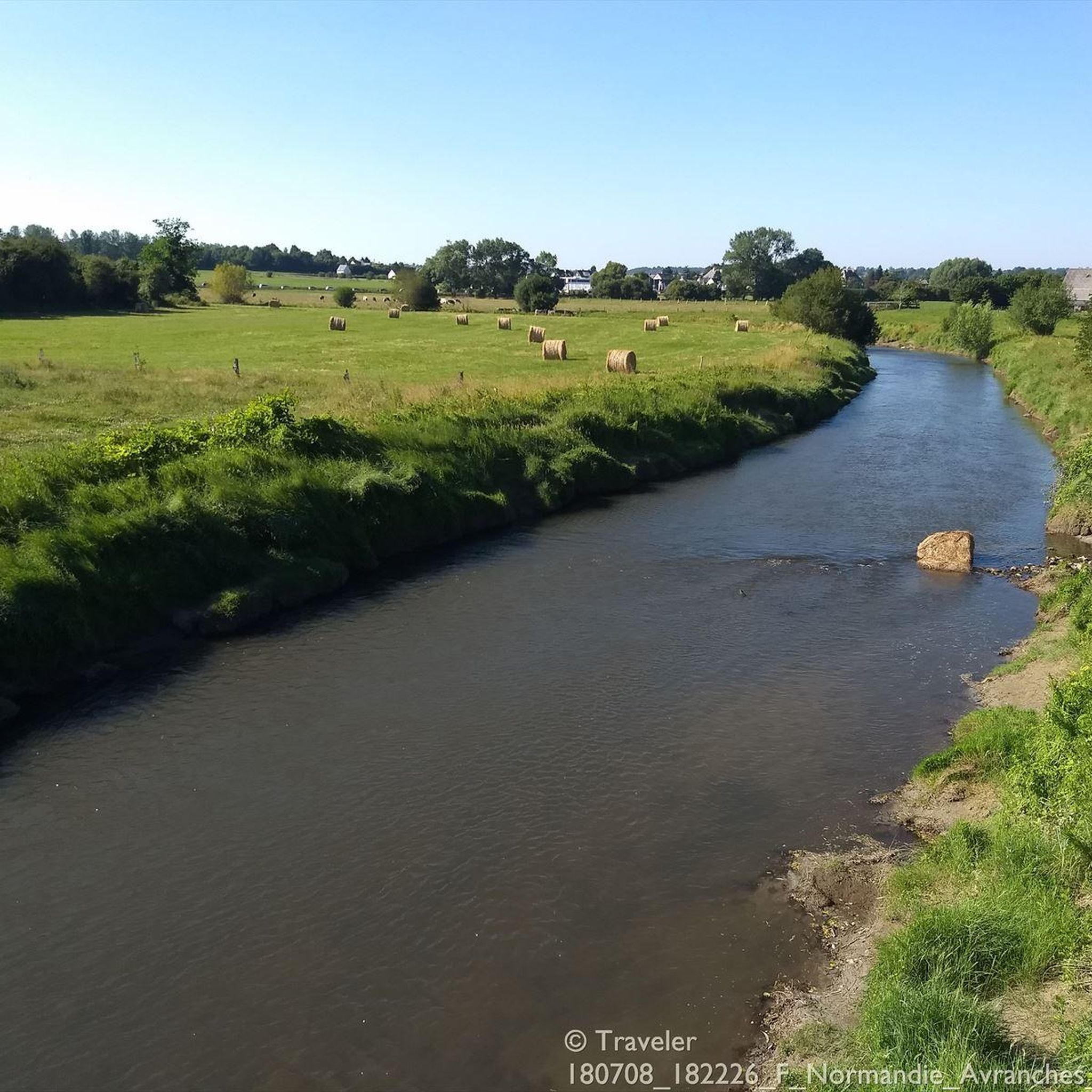
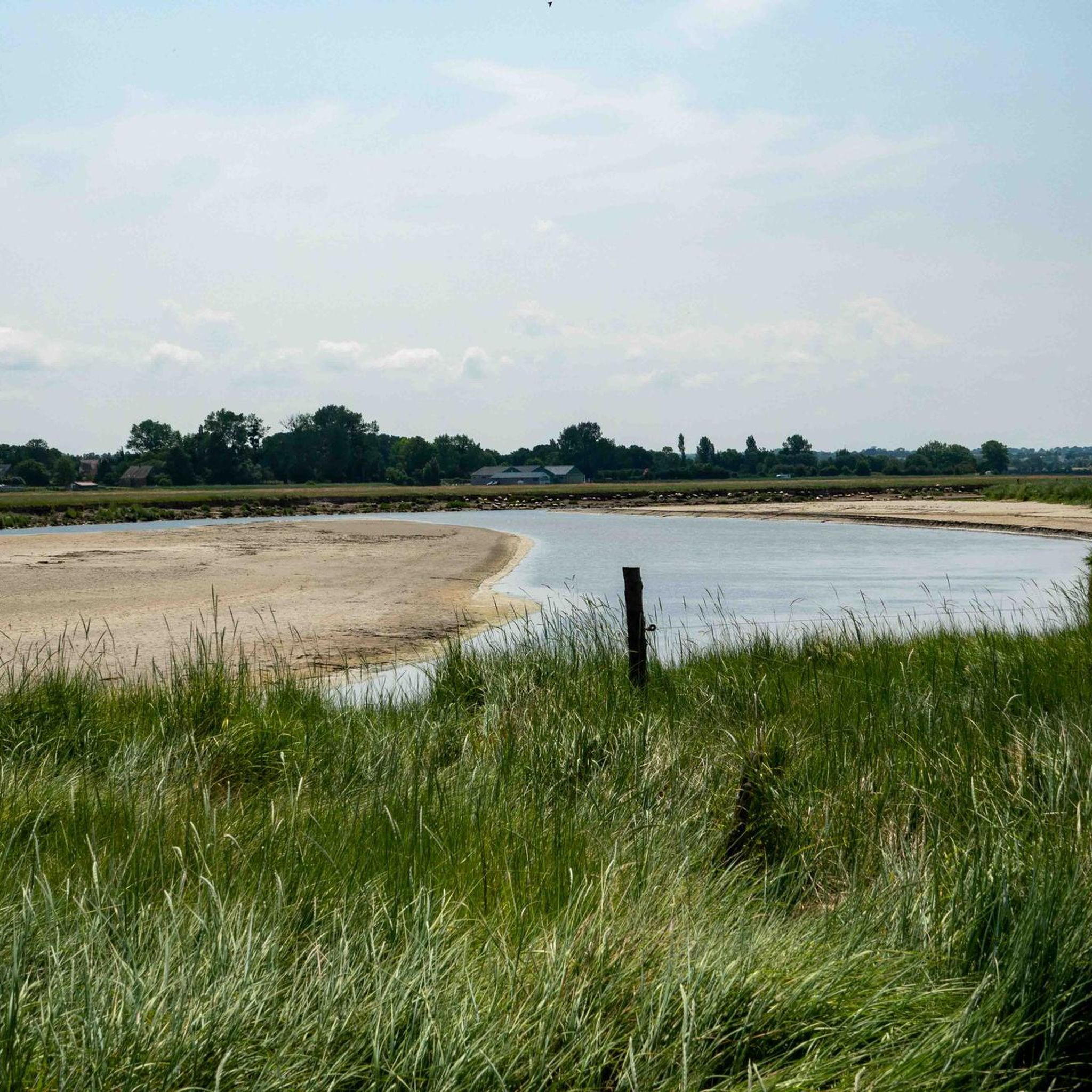
The footpath along the Couesnon to the dam already offers an impressive view of Mont-Saint-Michel. From here, the path with an unobstructed view leads across the salt marshes and the bay, with the landmark of Normandy impressively rising against the wide landscape. Especially in calm weather and with changing light, atmospheric views emerge of Mont-Saint-Michel, the course of the Couesnon river, and the tide-shaped surroundings.
10
0
The Couesnon dam (Barrage du Couesnon) was completed in 2009 and is part of the measures to preserve the bay of Mont-Saint-Michel. The facility regulates the water flow of the Couesnon and supports the natural removal of sediments by the tides. This is intended to counteract the increasing silting up of the bay and preserve the special character of Mont-Saint-Michel as a tidal island. The dam also offers a popular viewpoint with a view of Mont-Saint-Michel and the surrounding salt marshes.
1
0

From there it looks the strongest !!!
1
0

Parts of the route along the sea do not exist or are forbidden for bicycles
0
0

Old priory attached to Mont Saint Michel, the ultimate stage for pilgrims before the Merveille.
0
0

If there's a remarkable site that's worth a detour, it's Mont St Michel!
1
0

During very high tides, your wheels may be in the water.
0
0
Frequently Asked Questions
How many road cycling routes are available around Ponts?
There are over 190 road cycling routes around Ponts, offering a wide variety of options for different skill levels and preferences. The region is well-documented on komoot, with more than 2,000 road cyclists having explored its varied terrain.
Are there easy road cycling routes suitable for beginners in Ponts?
Yes, Ponts offers 16 easy road cycling routes perfect for beginners or those looking for a relaxed ride. These routes typically feature less elevation and shorter distances, allowing for a comfortable introduction to the region's cycling landscape.
What are some challenging road cycling routes for experienced cyclists around Ponts?
For experienced cyclists seeking a challenge, Ponts has 31 difficult road cycling routes. These often include significant elevation changes, particularly around Avranches, and longer distances. An example is the Regnéville-sur-Mer – Havre de Regnéville loop from Avranches, which covers 75.2 miles (121.0 km) with substantial climbing.
Can I find long-distance road cycling routes starting from Ponts?
Yes, the region around Ponts is suitable for long-distance road cycling. Routes like the Regnéville-sur-Mer – Havre de Regnéville loop from Avranches extend over 75 miles, exploring coastal areas and offering extensive rides for those looking to cover significant distances.
Are there circular road cycling routes around Ponts?
Many of the road cycling routes around Ponts are designed as loops, allowing you to start and finish in the same location. For instance, the View of Mont-Saint-Michel – View of the port of Le Hérel loop from Avranches is a popular circular route offering coastal scenery.
What kind of scenery can I expect on road cycling routes near Ponts?
Road cycling routes near Ponts are characterized by a mix of coastal paths, river valleys, and rolling hills. You can expect views towards iconic landmarks like Mont Saint-Michel, as well as picturesque landscapes along the Sélune Estuary and near Avranches.
Are there any notable landmarks or attractions along the road cycling routes?
Yes, several routes pass by interesting landmarks. You might cycle past the historic Pontaubault Bridge, enjoy panoramic views from Grouin du Sud or La Roche Torin, or even see the Montgommery Castle. The View of the Bay of Mont-Saint-Michel is also a highlight on many routes.
What do other cyclists say about road cycling in Ponts?
The road cycling routes around Ponts are highly rated by the komoot community, with an average score of 4.4 stars from over 70 reviews. Cyclists often praise the varied terrain, coastal views, and the options available for different ability levels.
When is the best time of year for road cycling in Ponts?
The spring and summer months generally offer the most favorable conditions for road cycling in Ponts, with milder weather and longer daylight hours. However, the coastal climate can be pleasant into early autumn.
Is it possible to cycle in Ponts during winter?
While less popular than warmer months, road cycling in Ponts during winter is possible. Cyclists should be prepared for cooler temperatures, potentially wet conditions, and shorter daylight hours. Some routes, especially those inland, may be more sheltered.
Are there road cycling routes with cafe stops or places to rest?
Many routes around Ponts pass through or near towns and villages where you can find cafes, bakeries, and other amenities for a rest stop. Planning your route in advance using komoot allows you to identify potential stops along the way.
How can I find less crowded road cycling routes near Ponts?
To find less crowded routes, consider exploring some of the moderate or difficult routes that venture further inland or away from the most popular coastal viewpoints. Using komoot's route planner can help you discover lesser-known paths.
Is parking available for road cyclists in Ponts?
Parking is generally available in and around Ponts, particularly in larger towns like Avranches which serve as common starting points for many routes. Look for public parking areas or designated spots near trailheads.
Can I access road cycling routes in Ponts using public transport?
Accessing road cycling routes in Ponts via public transport can be challenging, as options may be limited, especially for carrying bicycles. It's advisable to check local bus or train services for their bicycle policies and schedules if you plan to use public transport.
Are there family-friendly road cycling options in Ponts?
While many routes feature varied terrain, some of the 16 easy routes around Ponts could be suitable for families, depending on the children's cycling experience. These routes tend to be shorter and have less elevation, making them more accessible for a family outing.
Most popular attractions around Ponts

Get inspired with the komoot mobile app


Explore more
Browse the best Road cycling routes in other regions.
