The best road cycling routes around La Chapelle-Urée
4.4
(17)
648
riders
109
rides
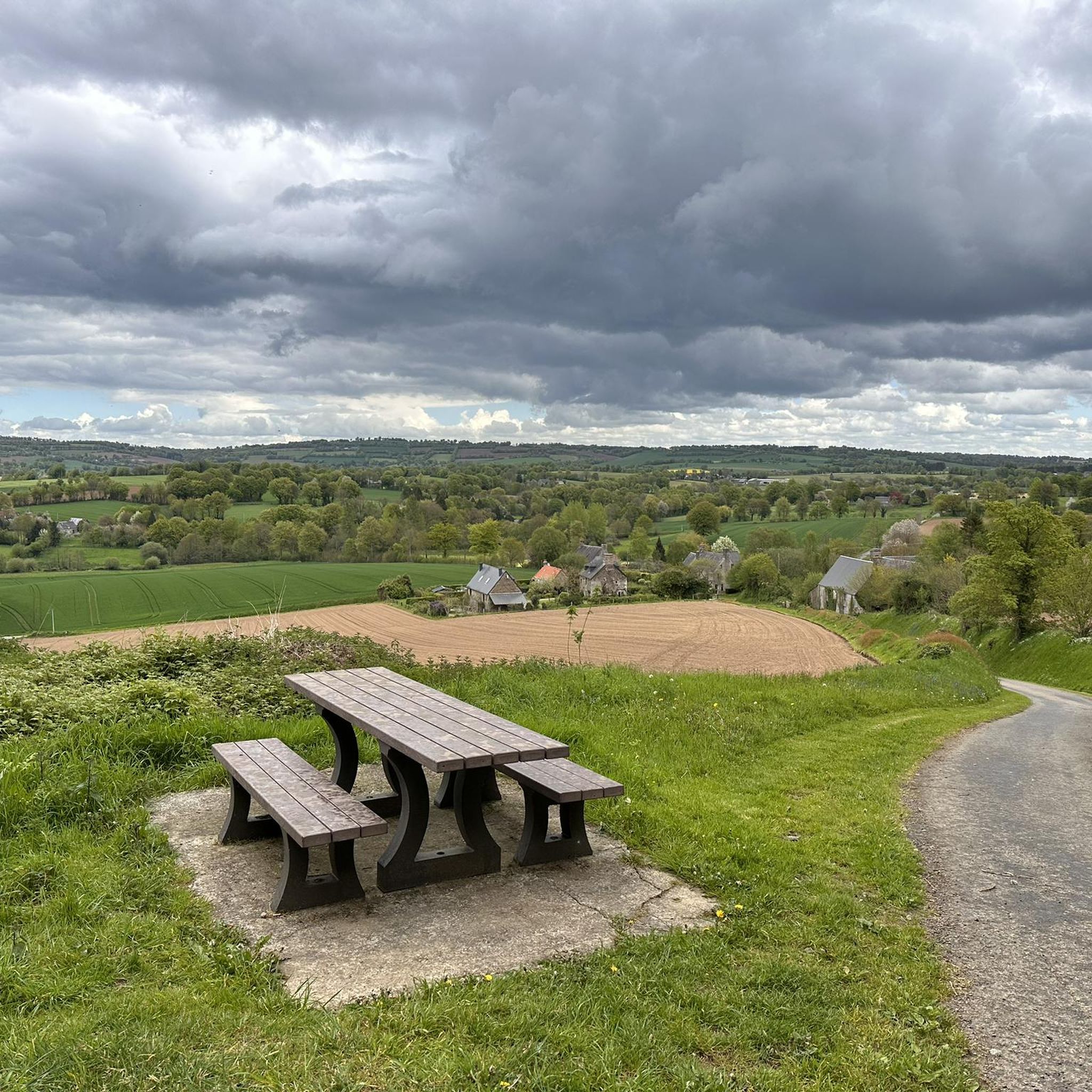
Road cycling routes around La Chapelle-Urée traverse a landscape characterized by rolling agricultural fields and river valleys, offering varied terrain for cyclists. The region features moderate elevation changes, with routes often including views towards significant landmarks like Mont Saint-Michel. Cyclists can expect a mix of open country roads and paths along waterways such as the Sélune River. This area provides a network of routes suitable for exploring the rural Norman countryside.
Best road cycling routes around La Chapelle-Urée
- The most…
Last updated: August 15, 2026
4.0
(2)
25
riders
53.8km
02:19
390m
390m
Moderate road ride. Good fitness required. Some segments of this route may be unpaved and difficult to ride.
26
riders
Moderate road ride. Good fitness required. Some segments of this route may be unpaved and difficult to ride.

Sign up for free
14
riders
55.5km
02:46
640m
640m
Moderate road ride. Good fitness required. Some segments of this route may be unpaved and difficult to ride.
14
riders
56.1km
02:44
750m
750m
Moderate road ride. Good fitness required. Mostly well-paved surfaces and easy to ride.
22
riders
33.7km
01:30
270m
270m
Easy road ride. Great for any fitness level. Mostly well-paved surfaces and easy to ride.
Get access to more routes and recommendations from other explorers.
Sign up for free
Already have an account?
Our route recommendations are based on thousands of hikes, rides, and runs completed by other people on komoot.
Start today with a free account
Your next adventure awaits.
Login or Signup


Tips from the Community

Mont-Saint-Michel is a world-famous rocky island and commune on the border between Normandy and Brittany in France. Crowned by a monumental, medieval Benedictine abbey, this architectural marvel has been a UNESCO World Heritage site since 1979. The bay of the mount is also known for Europe's strongest tides, with a tidal range of up to 14 meters.
1
0

The footpath along the Couesnon to the dam already offers an impressive view of Mont-Saint-Michel. From here, the path with an unobstructed view leads across the salt marshes and the bay, with the landmark of Normandy impressively rising against the wide landscape. Especially in calm weather and with changing light, atmospheric views emerge of Mont-Saint-Michel, the course of the Couesnon river, and the tide-shaped surroundings.
10
0
The Couesnon dam (Barrage du Couesnon) was completed in 2009 and is part of the measures to preserve the bay of Mont-Saint-Michel. The facility regulates the water flow of the Couesnon and supports the natural removal of sediments by the tides. This is intended to counteract the increasing silting up of the bay and preserve the special character of Mont-Saint-Michel as a tidal island. The dam also offers a popular viewpoint with a view of Mont-Saint-Michel and the surrounding salt marshes.
1
0

From there it looks the strongest !!!
1
0

Parts of the route along the sea do not exist or are forbidden for bicycles
0
0

If there's a remarkable site that's worth a detour, it's Mont St Michel!
1
0

Mountain bike park with a pumptrack, restrooms, and a water fountain. Four cross-country loops (green, blue, red, black) and one downhill loop. Well-maintained with a magnificent view.
0
0

The Brouains Bumps: Pumptrack / Jumpline / DH / XCO - for mountain biking enthusiasts. Entry fee required.
0
0
Frequently Asked Questions
How many road cycling routes are available around La Chapelle-Urée?
There are over 100 road cycling routes in the La Chapelle-Urée region, offering a wide variety of options for different skill levels and preferences. The komoot community has contributed to a comprehensive network of paths.
What kind of terrain can I expect when road cycling around La Chapelle-Urée?
The region features a landscape characterized by rolling agricultural fields and river valleys, with moderate elevation changes. You'll find a mix of open country roads and paths along waterways like the Sélune River, providing varied terrain for cyclists.
Are there easy road cycling routes suitable for beginners?
Yes, there are 12 easy road cycling routes available around La Chapelle-Urée. These routes typically feature gentler gradients and shorter distances, perfect for those new to road cycling or looking for a relaxed ride.
Are there challenging road cycling routes for experienced cyclists?
For experienced cyclists seeking a challenge, there are 10 difficult road cycling routes around La Chapelle-Urée. These routes often include more significant elevation gains and longer distances, such as Daniel Mangeas Cycling Museum – Pont les biards loop from Le Petit-Celland, which features over 700 meters of elevation gain.
Can I find circular road cycling routes in the area?
Many of the routes around La Chapelle-Urée are designed as loops, allowing you to start and finish at the same point. An example is the Roadbike loop from Le Grand-Celland, offering a convenient circular journey through the countryside.
What scenic views can I expect on road cycling routes around La Chapelle-Urée?
Cyclists can enjoy panoramic views towards significant landmarks like Mont Saint-Michel, especially on routes such as View of Mont Saint-Michel loop from Le Petit-Celland. The routes also traverse the scenic Sée valley and follow riverbanks, offering picturesque rural Norman countryside vistas.
Are there any interesting landmarks or attractions along the road cycling routes?
Yes, you can encounter several points of interest. For example, some routes pass near the Old railway station or explore the scenic The upper Sée valley. The region also features the The Vélocéane Cycle Route, which offers dedicated cycling paths.
What do other road cyclists think about the routes in La Chapelle-Urée?
The road cycling routes in La Chapelle-Urée are highly rated by the komoot community, with an average score of 4.25 stars from more than 10 reviews. Cyclists often praise the varied terrain, the beautiful rural landscapes, and the distant coastal views.
Are there longer road cycling routes for endurance rides?
Yes, for those looking for longer rides, routes like Sélune Riverbank – View of Mont Saint-Michel loop from Le Grand-Celland cover nearly 80 kilometers, providing ample distance for endurance training or extended tours through the region.
What is the best time of year for road cycling in La Chapelle-Urée?
The region is generally pleasant for road cycling from spring through autumn. The mild climate during these seasons makes for comfortable riding conditions, allowing you to fully enjoy the open country roads and scenic views without extreme temperatures.
Are there routes that explore the Sée valley?
Absolutely. The The upper Sée valley – Mur de La Lorière loop from Le Petit-Celland is a popular choice that specifically explores the scenic Sée valley, offering varied terrain and beautiful natural surroundings.
Most popular routes around La Chapelle-Urée
Most popular attractions around La Chapelle-Urée

Get inspired with the komoot mobile app


Explore more
Browse the best Road cycling routes in other regions.
