The best cycling routes around Marcilly
4.5
(442)
5,844
riders
107
rides
Long distance bike routes around Marcilly often follow the gentle terrain of the region, characterized by river valleys and agricultural landscapes. The area provides a network of paths suitable for touring cyclists, with minimal significant elevation changes. Many routes utilize former railway lines or dedicated greenways, offering smooth surfaces and scenic views.
Best touring cycling routes around Marcilly
- The most popular touring cycling route is Beautiful photo motif – Voie verte de la Véloscénie loop from Marcilly, a 9.5…
Last updated: October 8, 2026
4.7
(154)
3,228
riders
Moderate bike ride. Good fitness required. Mostly paved surfaces. Suitable for all skill levels.
4.6
(8)
61
riders
40.1km
02:34
170m
170m
Moderate bike ride. Good fitness required. Mostly paved surfaces. Suitable for all skill levels.

4.9
(14)
137
riders
29.6km
01:54
270m
270m
Moderate bike ride. Good fitness required. Mostly paved surfaces. Suitable for all skill levels.
5.0
(2)
228
riders
28.7km
01:48
160m
160m
Moderate bike ride. Good fitness required. Mostly paved surfaces. Suitable for all skill levels.
4.5
(19)
146
riders
39.4km
02:31
220m
220m
Moderate bike ride. Good fitness required. Mostly paved surfaces. Suitable for all skill levels.
Get access to more routes and recommendations from other explorers.
Already have an account?
Our route recommendations are based on thousands of hikes, rides, and runs completed by other people on komoot.
Start today with a free account
Your next adventure awaits.

Tips from the Community

Lovely route, first along the coast on good cycle paths, then after the large car park via all sorts of narrow roads and villages back to the campsite in Ceaux.
0
0

During very high tides, your wheels may be in the water.
0
0

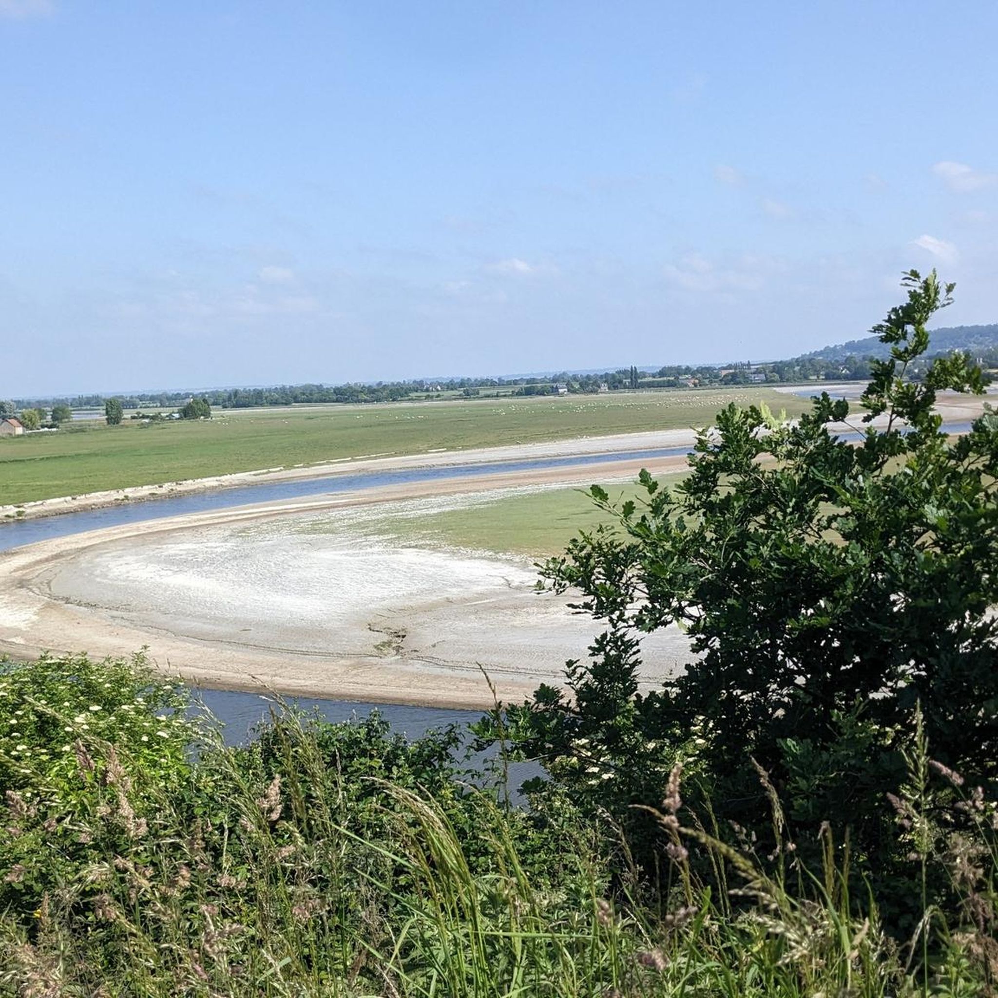
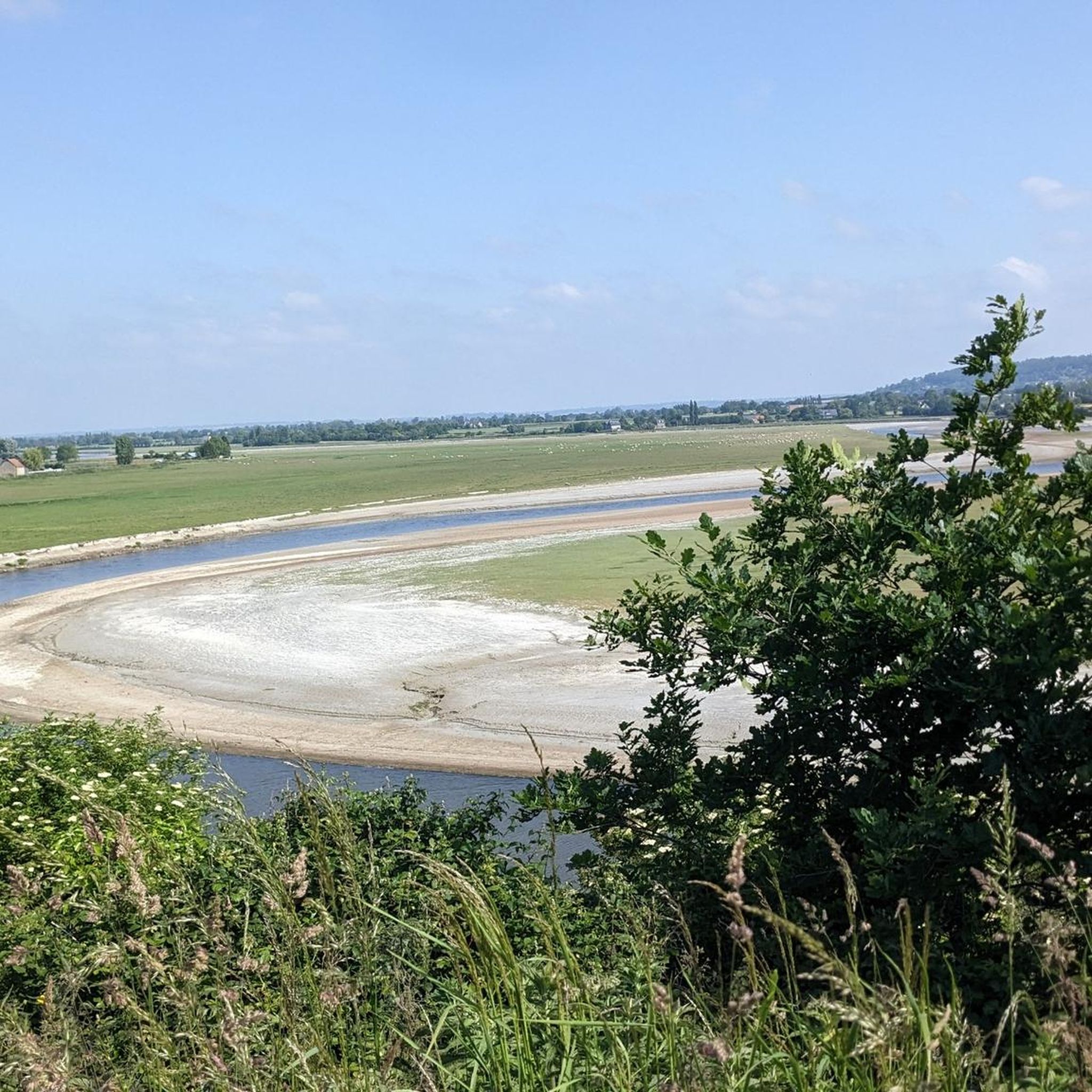
La Roche Torin is a prominent vantage point in the Bay of Mont Saint-Michel. This spot offers a unique view of the bay and is a popular destination for hikers and photographers, especially during strong tides (coefficient over 100). The tidal coefficient is the most important indicator for assessing the dynamics of the bay. A coefficient over 100 indicates spectacular tide conditions and a natural spectacle. Here in the Bay of Mont Saint-Michel, the highest tides in Europe occur, with a tidal range of up to 15 meters between high and low tide. Tidal range Mont Saint-Michel: https://tides4fishing.com/fr/basse-normandie/le-mont-saint-michel#_tidal_coefficient
1
0

A beautiful picnic area with tables and benches among the trees on the banks of the Selen River. There are even restrooms. The area is very spacious.
1
0

Beautiful route but there are no water points for the cans! Otherwise it's magnificent
0
0
Magnificent landscape with its green pastures of salt meadows. Gradually approaching Mount Mich Mich
3
0

Beautiful view of the Klosterberg and an easy path to ride.
0
0
Frequently Asked Questions
How many touring cycling routes are available around Marcilly?
There are over 110 touring cycling routes in the Marcilly area, catering to various skill levels. This includes 31 easy routes, 60 moderate routes, and 22 more challenging options.
Are there any family-friendly touring bike trails in Marcilly?
Yes, Marcilly offers several family-friendly routes, particularly those utilizing former railway lines or dedicated greenways. These paths often feature smooth surfaces and minimal elevation changes. An excellent option is the Beautiful photo motif – Voie verte de la Véloscénie loop from Marcilly, which is an easy 9.5-mile (15.2 km) ride.
What are some longer distance touring bike routes in the Marcilly region?
For longer rides, consider routes that connect towns or follow river valleys. The Basilica of Saint-Gervais – Saint-Saturnin Church loop from Saint-Quentin-sur-le-Homme is a more challenging 24.4-mile (39.2 km) route, offering a substantial touring experience.
Are there any circular touring bike routes around Marcilly?
Yes, many routes in Marcilly are designed as loops, allowing you to start and end in the same location. Examples include the Pontaubault Bridge – Ducey loop from Saint-Quentin-sur-le-Homme, a moderate 18.2-mile (29.3 km) ride, and the Voie verte de la Véloscénie – Pontaubault Bridge loop from Marcilly, which is 15.5 miles (24.9 km).
What kind of terrain can I expect on touring bike trails in Marcilly?
The terrain around Marcilly is generally gentle, characterized by river valleys and agricultural landscapes. Many routes follow former railway lines or dedicated greenways, providing smooth surfaces and minimal significant elevation changes, making them ideal for touring cyclists.
What can I see along the touring cycling routes in Marcilly?
The routes often pass through scenic agricultural areas and along riverbanks. You can also encounter historical landmarks. Notable attractions in the vicinity include the historic Pontaubault Bridge, Montgommery Castle, and the Banks of the Sélune at Pontaubault.
What is the best time of year for touring cycling in Marcilly?
Given the gentle terrain and prevalence of greenways, touring cycling in Marcilly is enjoyable for much of the year. Spring and autumn offer pleasant temperatures and beautiful scenery, while summer provides longer daylight hours. The smooth surfaces make routes accessible even after light rain.
Are there advanced cycling paths for experienced touring cyclists in Marcilly?
Yes, while many routes are easy to moderate, there are 22 difficult routes for more experienced touring cyclists. These routes may feature longer distances or slightly more varied terrain, such as the Basilica of Saint-Gervais – Saint-Saturnin Church loop from Saint-Quentin-sur-le-Homme.
What do other touring cyclists enjoy most about cycling in Marcilly?
The area is highly rated by the komoot community, with an average score of 4.4 stars from over 300 reviews. Reviewers often praise the quiet greenways, the scenic river paths, and the overall accessibility of the routes for various skill levels.
How accessible are Marcilly cycling routes by public transport?
Specific public transport access points for each route are best checked on the individual tour pages on komoot. However, many routes in the region are designed to be accessible from local towns, which may have regional bus or train connections.
Are there less crowded touring bike trails near Marcilly?
The Marcilly region is known for its peaceful agricultural landscapes and greenways, which generally offer a less crowded cycling experience compared to more urban areas. Routes that venture further into the countryside, away from main towns, are likely to be quieter.
Where can I find parking for touring bike trails in Marcilly?
While specific parking information isn't provided for every route, many touring routes in rural areas like Marcilly often have parking available near trailheads, in village centers, or at designated visitor points. It's advisable to check the starting point of your chosen route on komoot for detailed parking suggestions.
Most popular attractions around Marcilly

Get inspired with the komoot mobile app


Explore more
Browse the best Cycling routes in other regions.
