The best walks and hikes around Granville
4.5
(173)
1,633
hikers
42
hikes
Hiking around Granville offers a diverse range of landscapes, primarily characterized by its coastal paths, bocage, and forest trails. The region features varied terrain, from the dynamic seascapes of the Chausey archipelago to the gentle elevation changes found along river paths. Hikers can explore routes that traverse cliffs, beaches, and woodlands, providing options for different ability levels.
Best hiking trails around Granville
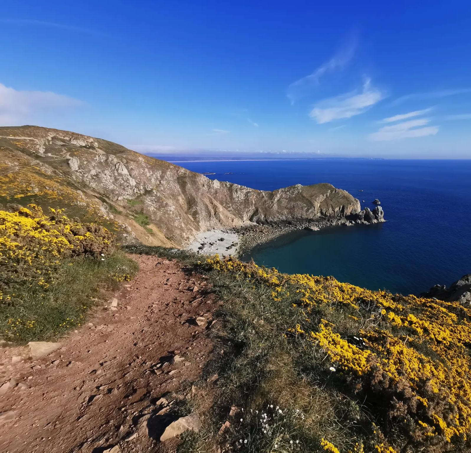
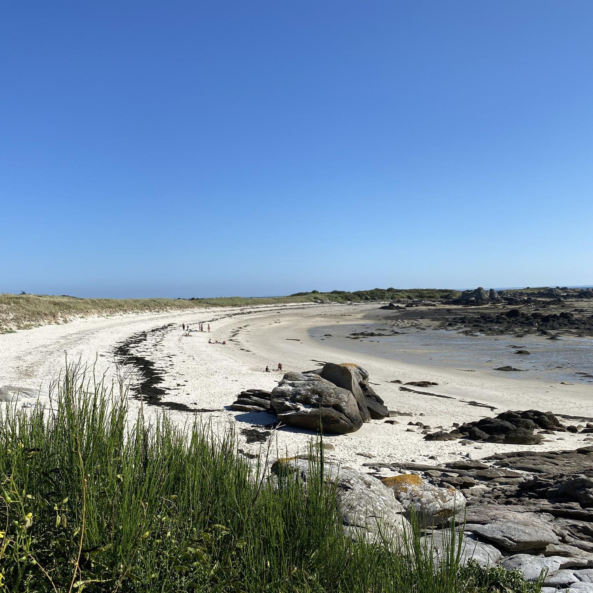
- The most popular hiking route is L'Ile de Chausey (La Grande Ile) — loop, a 3.1 miles (4.9 km) trail that takes 1 hour 17 minutes to complete. This easy route explores the unique island landscape of Grande Île.
- Another top favourite among local hikers is Cap Lihou lighthouse – Notre-Dame du Cap Lihou Church loop from Granville, an easy 4.6 miles (7.5 km) path. This route offers coastal views and passes by significant local landmarks.
- Local hikers also love the Grève du Nord – Notre-Dame du Cap Lihou Church loop from Granville, a 2.7 miles (4.3 km) trail leading through coastal areas and past cultural sites, often completed in about 1 hour 9 minutes.
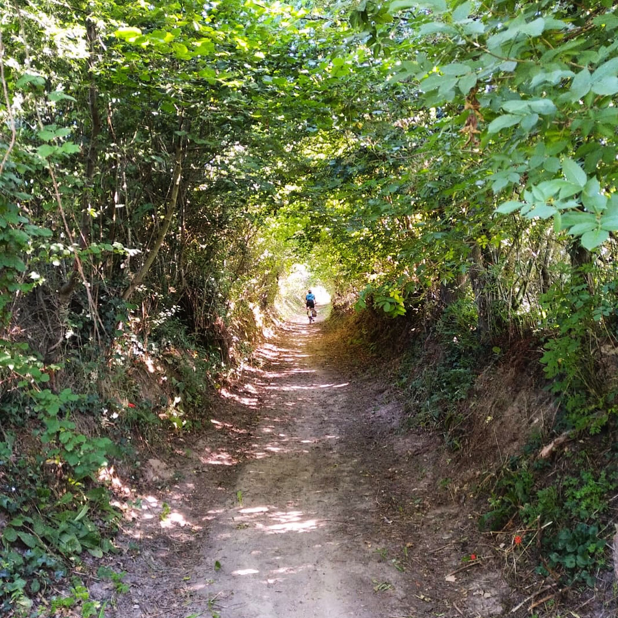
- Hiking around Granville is defined by coastal paths, the Normandy bocage, and forest trails. The network offers options for different ability levels, from easy strolls to more moderate excursions.
- The routes in Granville are highly rated by the komoot community with an average score of 4.7 stars from more than 140 reviews. More than 1,300 hikers have used komoot to explore Granville's varied terrain.
Last updated: October 25, 2026
4.5
(20)
114
hikers
4.92km
01:17
30m
30m
Easy hike. Easily walkable paths.
4.7
(63)
658
hikers
Easy hike. Easily walkable paths.

4.9
(9)
80
hikers
9.46km
02:31
100m
100m
Moderate hike. Good fitness required. Easily walkable paths.
4.5
(10)
69
hikers
16.1km
04:12
100m
100m
Moderate hike. Good fitness required. Easily walkable paths.
4.8
(14)
67
hikers
27.4km
07:10
200m
200m
Hard hike. Very good fitness required. Easily walkable paths.
Get access to more routes and recommendations from other explorers.
Already have an account?
Our route recommendations are based on thousands of hikes, rides, and runs completed by other people on komoot.
Start today with a free account
Your next adventure awaits.
Other adventures around Granville

Tips from the Community

If you're lucky, you can watch the fishermen at low tide on the mussel beds.
0
0

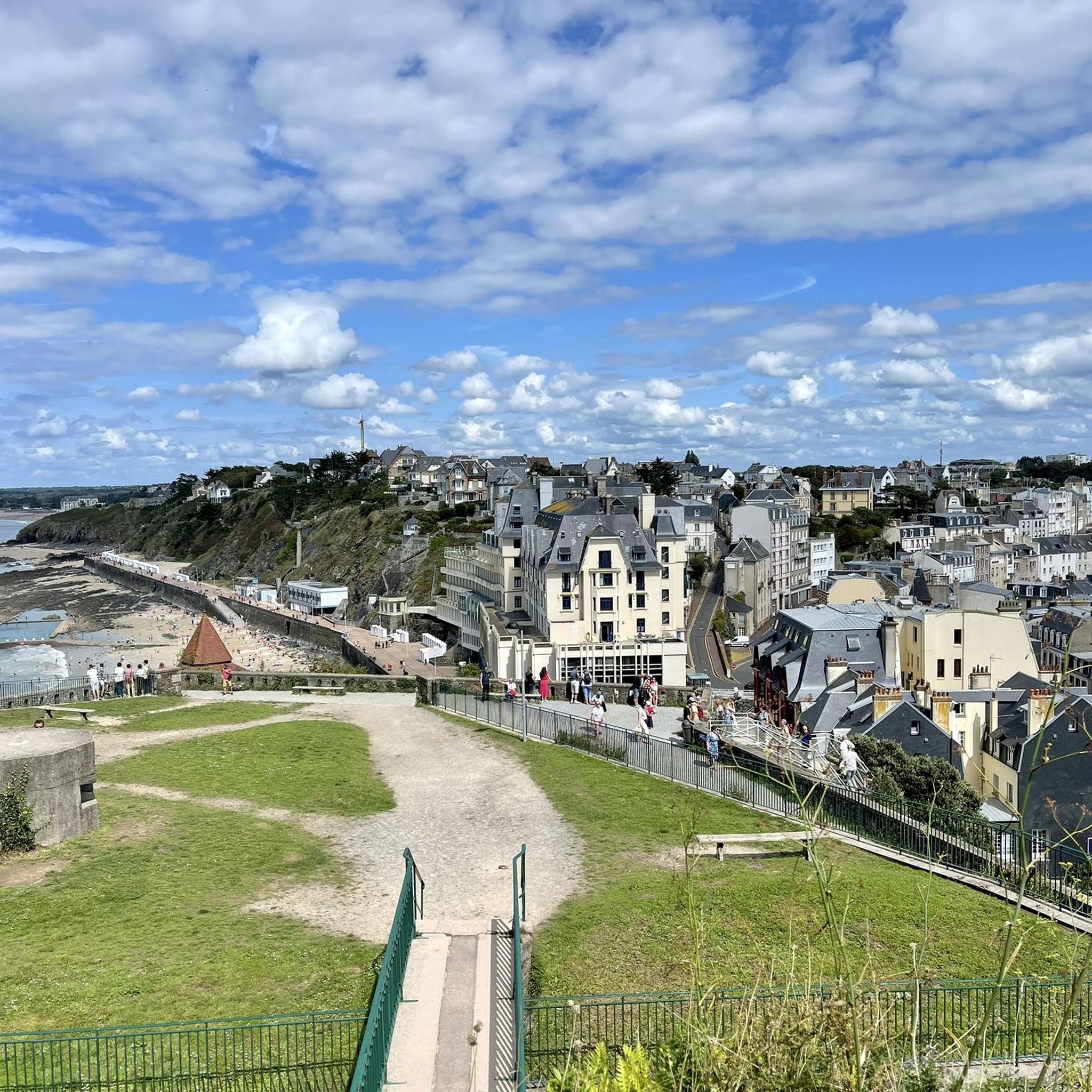
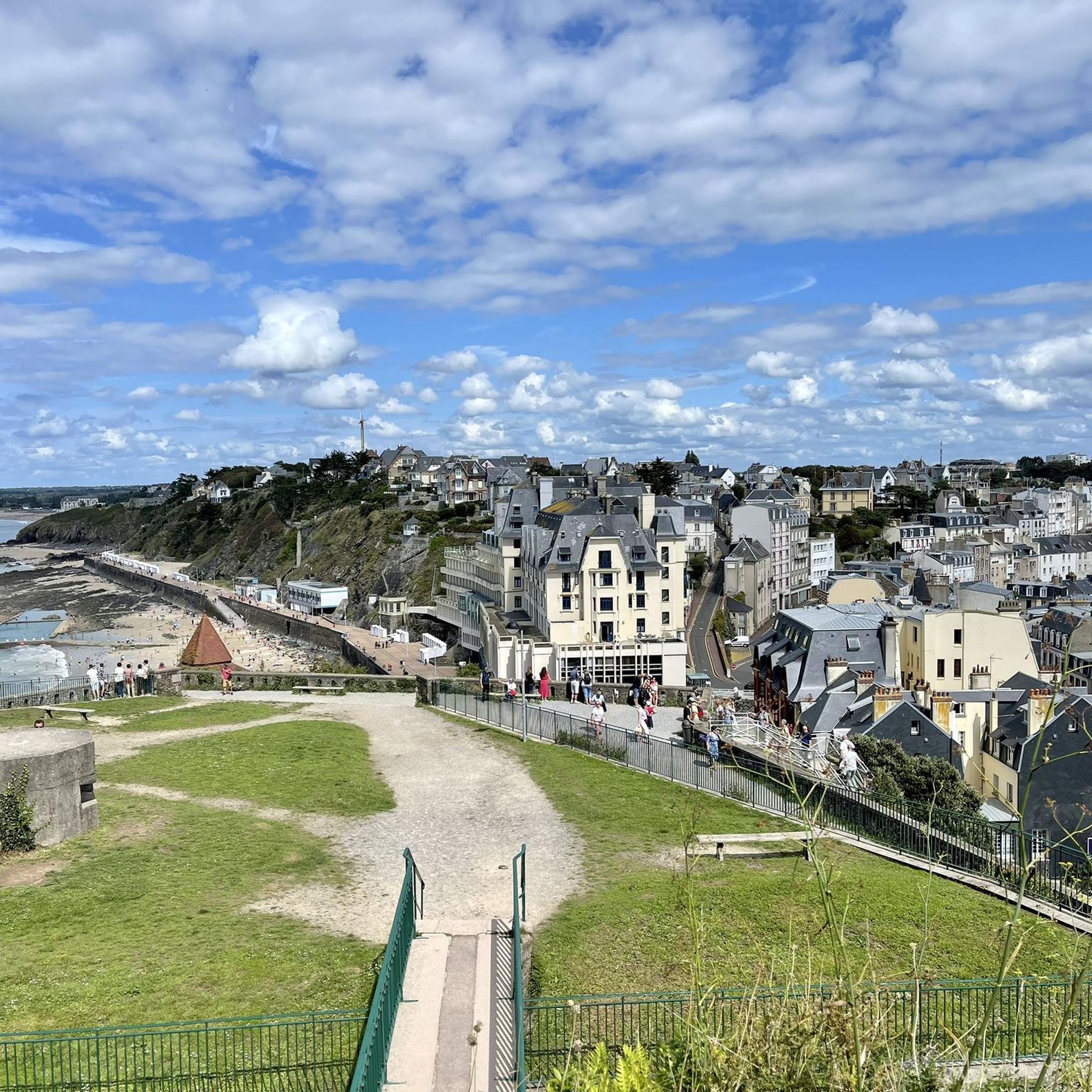
Granville is often called the "Monaco of the North"—a nickname it owes to its spectacular location on a rocky peninsula, its picturesque old town perched atop the rock ("Haute Ville"), and its maritime flair with a marina, casino, and elegant seaside resort atmosphere. Since the Middle Ages, Granville has been one of Normandy's most important fishing and privateering ports. From here, legendary cod fishermen once set sail for Newfoundland.
1
0
The bay is known for its fine white sand, clear turquoise waters and the impressive backdrop of the castle.
1
0
This imposing structure was built as a fortress in the 16th century and later restored by Louis Renault, founder of the automobile company of the same name, between 1922 and 1924. During World War II, the fortress was occupied by German soldiers. After the war, it served various purposes, including housing for fishermen. Today, it is a private property and cannot be visited.
2
0
The Cabane Vauban was built in the 17th century and is named after the famous French fortification engineer Sébastien Le Prestre de Vauban, who was responsible for the design and reinforcement of numerous coastal fortifications during the reign of Louis XIV. The hut originally served as a shelter for sentries and customs officers monitoring the coast to detect smugglers or enemy ships early. While there are several similar observation points along the Normandy coast, the Cabane Vauban near Carolles is considered the most well-known and well-preserved.
29
0
The Rocher du Sard lies above the Vallée du Lude. This striking granite rock rises about 70 meters above the sea and offers a commanding view of the Bay of Mont Saint-Michel. Local legend says that the rock was a refuge for the Devil during his battle with the Archangel Michael—hence its nickname, Rocher du Diable.
29
0
The pier on Grande-Île in the Chausey archipelago is the island's central port, where ferries and boats from Granville dock. It is located in a sheltered bay in the natural harbor between the main island and the surrounding rocks.
1
0

Christian Dior's hometown is Granville, a coastal town in Normandy, France.
0
0
Frequently Asked Questions
How many hiking trails are available around Granville?
There are nearly 50 hiking trails around Granville, offering a diverse range of landscapes from coastal paths to forest trails. The komoot community has explored over 1,300 of these routes, with options for various ability levels.
What kind of terrain can I expect on hikes in Granville?
Hiking in Granville features varied terrain, primarily characterized by coastal paths, the Normandy bocage (a landscape of small fields, hedges, and woods), and forest trails. You'll find routes traversing cliffs, beaches, and woodlands, with elevation changes ranging from gentle along river paths to more pronounced on coastal sections.
Are there any family-friendly hiking options in Granville?
Yes, Granville offers several easy routes suitable for families. For instance, the L'Ile de Chausey (La Grande Ile) — loop is an easy 3.1-mile (4.9 km) trail exploring the unique island landscape. Another accessible option is the Grève du Nord – Notre-Dame du Cap Lihou Church loop from Granville, a 2.7-mile (4.3 km) trail leading through coastal areas.
Can I bring my dog on the hiking trails in Granville?
Many trails in Granville are dog-friendly, especially those through the bocage and along coastal paths. However, leash rules may apply, particularly in nature reserves or protected areas. It's always best to check local signage or specific route details on komoot for the most current regulations regarding dogs.
What are some notable landmarks or natural features to see while hiking in Granville?
Granville's trails offer access to several interesting sights. You can pass by the historic Cap Lihou lighthouse and the Notre-Dame du Cap Lihou Church on routes like the Cap Lihou lighthouse – Notre-Dame du Cap Lihou Church loop from Granville. Other natural highlights in the wider area include the Havre de la Vanlée and the Sard Rock.
Are there any circular walks available in the Granville area?
Yes, many of the trails around Granville are designed as circular routes, allowing you to start and end at the same point. Examples include the L'Ile de Chausey (La Grande Ile) — loop and the Cap Lihou lighthouse – Notre-Dame du Cap Lihou Church loop from Granville, both popular choices for their scenic views and convenient structure.
What is the best time of year to go hiking in Granville?
Granville offers pleasant hiking conditions for much of the year. Spring and autumn provide mild temperatures and beautiful scenery, with fewer crowds. Summer is also popular, especially for coastal walks, but can be busier. Winter hiking is possible, particularly along the coast, though some paths might be more exposed to wind and weather.
How do other hikers rate the trails in Granville?
The trails in Granville are highly rated by the komoot community, with an average score of 4.7 stars from over 140 reviews. Hikers often praise the diverse coastal and inland scenery, the well-maintained paths, and the unique experience of exploring areas like the Chausey archipelago.
Is public transport available to reach hiking trailheads in Granville?
Granville is a well-connected town. While specific public transport links directly to every trailhead may vary, the town itself is accessible by train. Local bus services can help reach some areas outside the immediate town center. For detailed information on public transport options to specific starting points, it's advisable to consult local transport schedules.
Where can I find parking for hiking trails in Granville?
Parking is generally available in and around Granville, especially near popular starting points for coastal walks and town-based loops. For trails further afield, look for designated parking areas near villages or specific attractions. It's recommended to check the starting point of your chosen route on komoot for specific parking suggestions.
Are there any longer, more challenging hikes around Granville?
While many routes are easy, Granville also offers moderate options for those seeking a longer challenge. For example, the Pointe du Lude – Beach view loop from Granville is a moderate 10-mile (16.1 km) hike offering extensive coastal views. These routes typically involve more distance and potentially more varied terrain.
What kind of natural landscapes can I explore beyond the immediate coast?
Beyond the immediate coastline, Granville's region extends into the Normandy bocage, a unique landscape of small fields, hedges, and woods. You can also find trails along the Thar river and through surrounding forests, offering a different natural experience compared to the dynamic seascapes. The Chausey archipelago provides a wild, island environment for exploration.
Are there any resources for planning my hike in Granville?
For more detailed information on walks and hikes in the Granville region, including practical advice and additional routes, you can visit the official tourism website: tourisme-granville-terre-mer.com. Komoot also provides detailed route information, maps, and community reviews for planning your adventures.
Most popular routes around Granville
Most popular attractions around Granville

Get inspired with the komoot mobile app


Explore more
Browse the best Hikes in other regions.
